The best road cycling routes in National Forests In Alabama
4.5
(12)
283
riders
15
rides
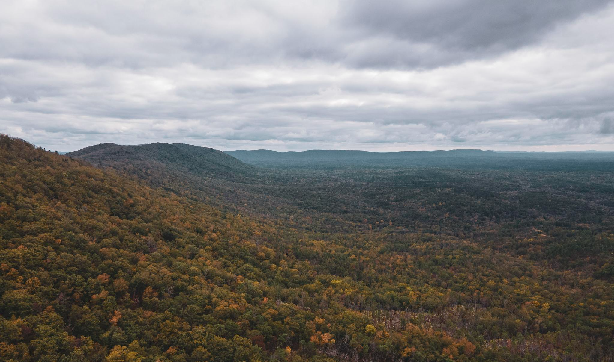
Road cycling in National Forests In Alabama offers diverse landscapes across over 668,000 acres, spanning from the Appalachian Mountains to the Coastal Plain. The region features varied terrain, including wide, quiet paved roads and challenging gravel routes. These forests are characterized by diverse ecosystems, such as longleaf pine forests and mixed hardwoods, along with numerous waterfalls. The varied topography provides options for different skill levels, from gentle rides to mountainous climbs.
Best road cycling routes in National Forests In Alabama
…Last updated: September 4, 2026
5.0
(1)
64
riders
Moderate road ride. Good fitness required. Mostly well-paved surfaces and easy to ride.
18
riders
77.7km
04:15
1,540m
1,540m
Hard road ride. Very good fitness required. Some segments of this route may be unpaved and difficult to ride.

Sign up for free
7
riders
29.4km
01:23
380m
380m
Moderate road ride. Good fitness required. Mostly well-paved surfaces and easy to ride.
21
riders
64.0km
03:20
1,160m
1,160m
Hard road ride. Very good fitness required. Mostly well-paved surfaces and easy to ride.
5
riders
19.9km
01:03
160m
160m
Easy road ride. Great for any fitness level. Mostly well-paved surfaces and easy to ride.
Get access to more routes and recommendations from other explorers.
Sign up for free
Already have an account?
Our route recommendations are based on thousands of hikes, rides, and runs completed by other people on komoot.
Start today with a free account
Your next adventure awaits.
Login or Signup
Popular around National Forests In Alabama



Other adventures in National Forests In Alabama

Tips from the Community

The Heflin Spur of the Pinhoti Trail leads to the town of Heflin. The spur trail spans 3.5 miles in one direction. Heflin is a small town, settled back in 1882, and home to about 4,000 people today.
0
0
Here, the Pinhoti trail crosses Talladega Scenic Drive, only half a mile from Cheaha State Park, with fantastic views, restrooms, cabins, and more.
0
0

The Chief Ladiga Western Terminus is on the outskirts of Anniston next to Michael Tucker Park. The park has a bathroom with showers, picnic area with shelter and a parking area. There are also 16 primitive camping spots if you want to stay the night before setting off on the trail.
0
0

Parking for hikers, entrance fee $5
1
0
Cheaha State Park, is a park where you can find the highest point (726m) in the state of Alabama. There are hiking, mountain bike trails and a campground
1
0
Train depot built in the 1860s for the old railway line. It has since been refurbished and is open for use by the public. It is located on the Chief Ladiga Trail and has public bathrooms.
0
0
The Chief Ladiga Trail is a 34 mile trail that runs from Anniston, Alabama to the Georgia Border. It has been built over an old railway line and is fully paved and very flat. It runs through several towns with amenities, so there are options to resupply if needed.
0
0
Frequently Asked Questions
What types of road cycling routes can I find in National Forests In Alabama?
National Forests In Alabama offer a diverse range of road cycling experiences. You'll find everything from wide, quiet paved roads suitable for leisurely rides to challenging routes that incorporate gravel sections and significant elevation gains. The terrain spans from the Appalachian Mountains to the Coastal Plain, providing varied landscapes for all skill levels.
Are there easy road cycling routes for beginners or families in the National Forests In Alabama?
Yes, there are routes suitable for beginners and families. For instance, the Roadbike loop from New Oak Grove Missionary Baptist Church is an easy 12.4-mile (19.9 km) route. The Chief Ladiga Trail, mentioned in the region research, also offers moderate, mostly paved sections ideal for various fitness levels.
Which routes offer a more challenging road cycling experience?
For a significant challenge, consider the Cheaha Lake – Lake Chinnabee loop from Hollis Crossroads. This difficult 50.2-mile (80.8 km) route features substantial elevation gain as it traverses the spine of Talladega Mountain, offering a demanding ride.
Can I find loop routes for road cycling in the National Forests In Alabama?
Yes, many routes are designed as loops, allowing you to start and finish at the same point. A popular option is the Jacksonville Train Depot – Chief Ladiga Trail loop from Chief Ladiga Trail Campground, a moderate 53.0-mile (85.3 km) ride. Another is the Scenic Overlook loop from Heflin, which is 18.3 miles (29.4 km).
What are some scenic highlights or natural attractions I can see along the road cycling routes?
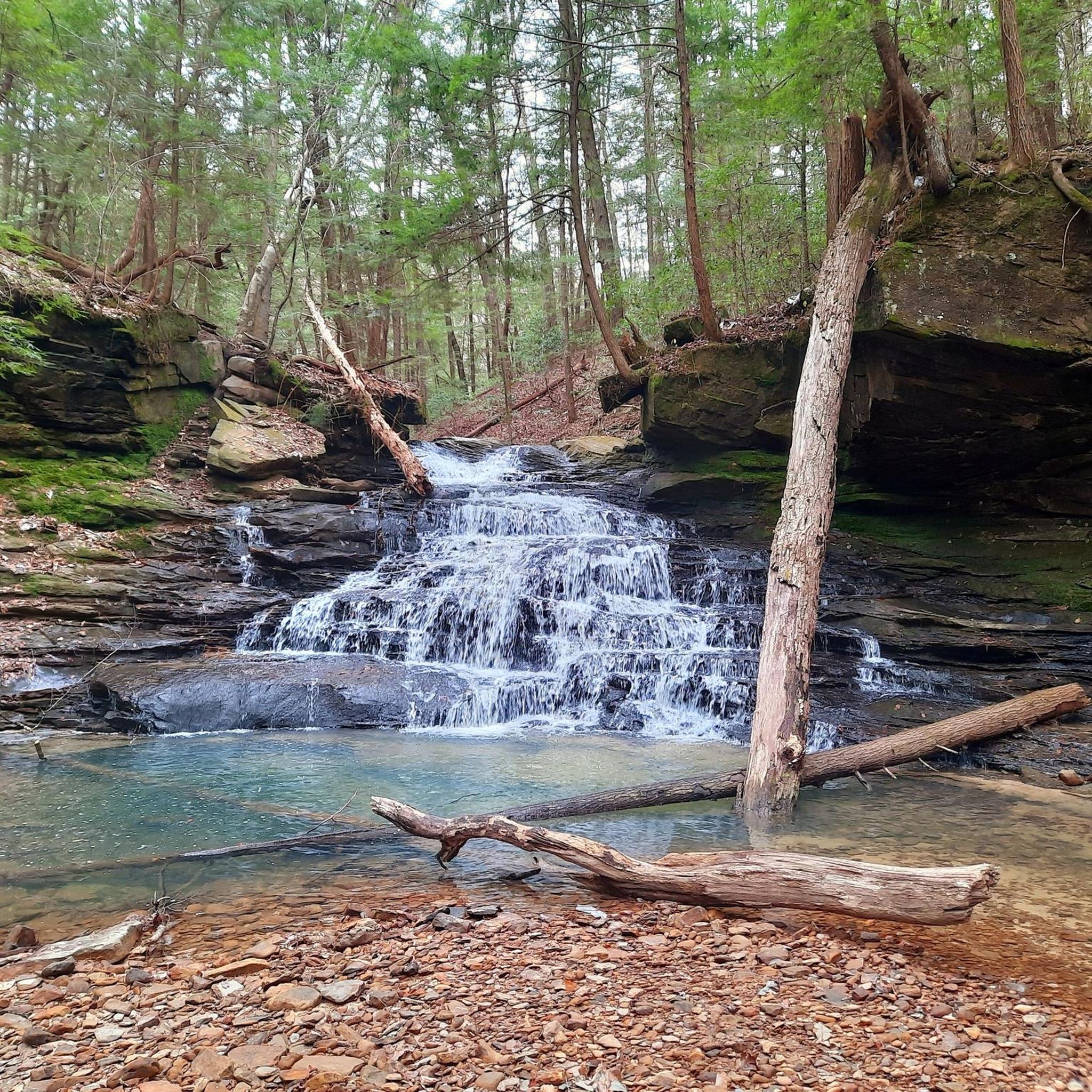
The National Forests are rich in natural beauty. You can encounter numerous waterfalls, especially in Bankhead National Forest, often called the 'Land of a Thousand Waterfalls.' Notable examples include Caney Creek Falls and Thompson Creek Waterfall (Sipsey Wilderness). The Talladega Scenic Drive also offers impressive viewpoints, and Cheaha Mountain provides panoramic views as Alabama's highest point.
Are there specific areas known for wildlife spotting while cycling?
The diverse ecosystems across the National Forests support a rich variety of wildlife, including white-tailed deer and various bird species. While specific routes aren't designated for wildlife spotting, quieter roads, especially in areas like Conecuh National Forest or the less-trafficked sections of Bankhead National Forest, increase your chances of seeing local fauna.
What is the best time of year for road cycling in National Forests In Alabama?
The spring and fall seasons generally offer the most pleasant conditions for road cycling, with milder temperatures and beautiful foliage. Summers can be hot and humid, while winters are typically mild but can have occasional cold snaps. Always check the local weather forecast before heading out.
Where can I find parking for road cycling trails?
Many trailheads and popular starting points, such as the Chief Ladiga Trail Campground or areas near Cheaha State Park, offer designated parking. For example, the Wooden Bridge Trailhead in William B. Bankhead National Forest is a known parking location. It's always advisable to check specific route details for parking information.
What do other road cyclists enjoy most about cycling in National Forests In Alabama?
The area is highly rated by the komoot community, with an average score of 5.0 stars from 3 reviews. Reviewers often praise the diverse terrain, from smooth paved roads to challenging gravel sections, and the stunning natural beauty, including the numerous waterfalls and scenic viewpoints.
Are there any specific permits required for road cycling in the National Forests In Alabama?
Generally, no specific permits are required for road cycling on public roads and designated trails within the National Forests. However, always check with the specific forest district or park if you plan to access restricted areas or participate in organized events, as rules can vary.
Are there any routes that combine paved and gravel sections for a mixed-surface ride?
Yes, some routes offer a mixed-surface experience. The Alabama Skyway, for instance, is a 100-mile route that starts along the paved Chief Ladiga Trail but features approximately 41% gravel roads through the Talladega National Forest. Bankhead National Forest is also known for its extensive network of dirt and gravel roads, ideal for gravel riding and bikepacking.
What should I pack for a road cycling trip in National Forests In Alabama?
Given the varied terrain and potential for remote areas, it's wise to pack essentials like plenty of water, snacks, a repair kit (including spare tubes and a pump), a first-aid kit, and navigation tools. Depending on the season, layers of clothing are recommended, and sun protection is always important. For routes with gravel sections, appropriate tires are also a good idea.
Most popular routes in National Forests In Alabama
Most popular attractions in National Forests In Alabama

Get inspired with the komoot mobile app


Explore more
Browse the best Road cycling routes in other regions.
