The best cycling routes in Cherokee National Forest
4.7
(18)
407
riders
18
rides
Touring cycling in Cherokee National Forest offers diverse landscapes across Tennessee's sole national forest, characterized by rugged mountains, swift rivers, and dense woodlands. The region features extensive networks of scenic byways and forest service roads, providing varied terrain for cyclists. Elevations range from valley floors to mountain vistas, with many routes offering significant climbs. The forest's diverse ecosystems contribute to a rich natural environment for cycling exploration.
Best touring cycling routes in Cherokee National Forest
- The most popular touring cycling route is Watauga Dam and Watauga Dam Visitor Center loop from Watauga Valley, a difficult 18.6 miles (29.9 km) trail that takes 2 hours 7 minutes to complete. This route offers views of the Watauga Lake area and surrounding forest.
- Another top favourite among local touring cyclists is Blue Springs loop from Unaka High School, a moderate 10.4 miles (16.7 km) path. This route winds through the forest's foothills, providing a less strenuous option.
- Local touring cyclists also love the Limestone Cove loop from Hampton, a difficult 28.8 miles (46.3 km) trail leading through rugged mountain terrain and dense woodlands, often completed in about 3 hours 0 minutes.
- Touring cycling in Cherokee National Forest is defined by rugged mountain beauty, swift rivers, and dense woodlands, with routes ranging from moderate to difficult. The network offers options for different ability levels, including scenic byways and forest service roads.
- The routes in Cherokee National Forest are highly rated by the komoot community with an average score of 4.3 stars from more than 5 reviews. More than 200 touring cyclists have used komoot to explore Cherokee National Forest's varied terrain.
Last updated: August 18, 2026
88.2km
06:36
1,680m
2,760m
Hard bike ride. Very good fitness required. Mostly paved surfaces. Suitable for all skill levels.
2
riders
29.9km
02:08
520m
520m
Hard bike ride. Very good fitness required. Mostly paved surfaces. Suitable for all skill levels.

Sign up for free
16.7km
01:04
160m
160m
Moderate bike ride. Good fitness required. Mostly paved surfaces. Suitable for all skill levels.
46.3km
03:00
620m
620m
Hard bike ride. Very good fitness required. Mostly paved surfaces. Suitable for all skill levels.
54.4km
03:24
610m
610m
Hard bike ride. Very good fitness required. Mostly paved surfaces. Suitable for all skill levels.
Get access to more routes and recommendations from other explorers.
Sign up for free
Already have an account?
Our route recommendations are based on thousands of hikes, rides, and runs completed by other people on komoot.
Start today with a free account
Your next adventure awaits.
Login or Signup
Popular around Cherokee National Forest

Benton MacKaye Trail — Hiking from Georgia to the Smokies

The Appalachian Trail — America's most iconic long-distance hike
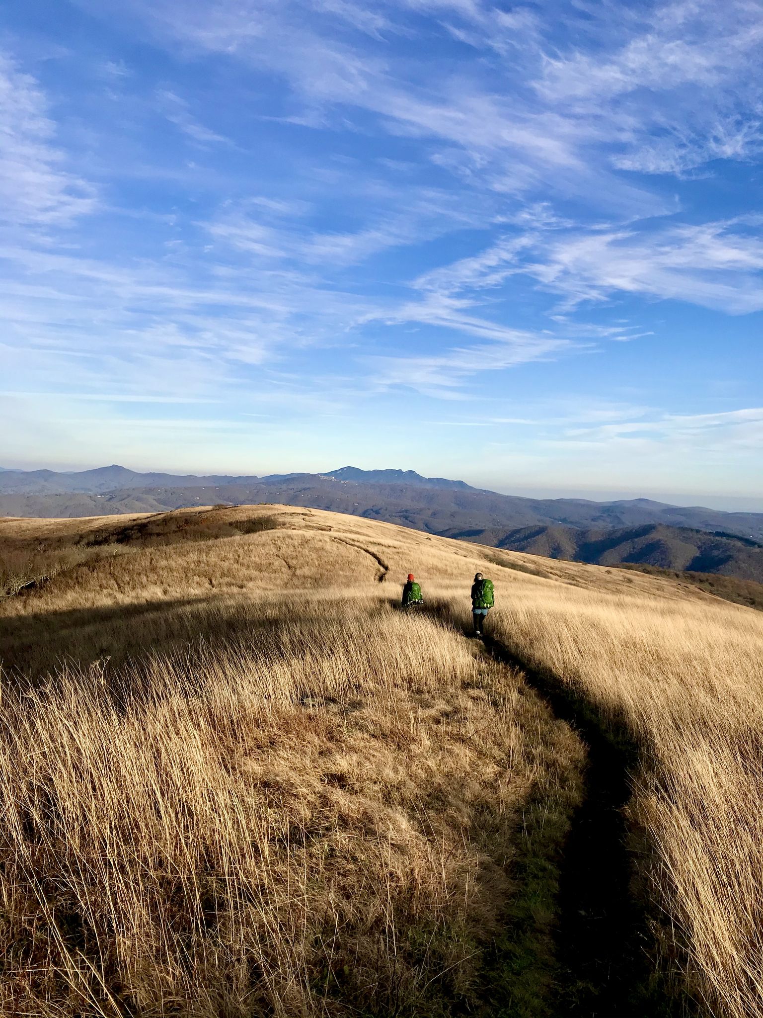
Appalachian Trail: Carvers Gap to US 19E — Over the balds of Roan Highlands
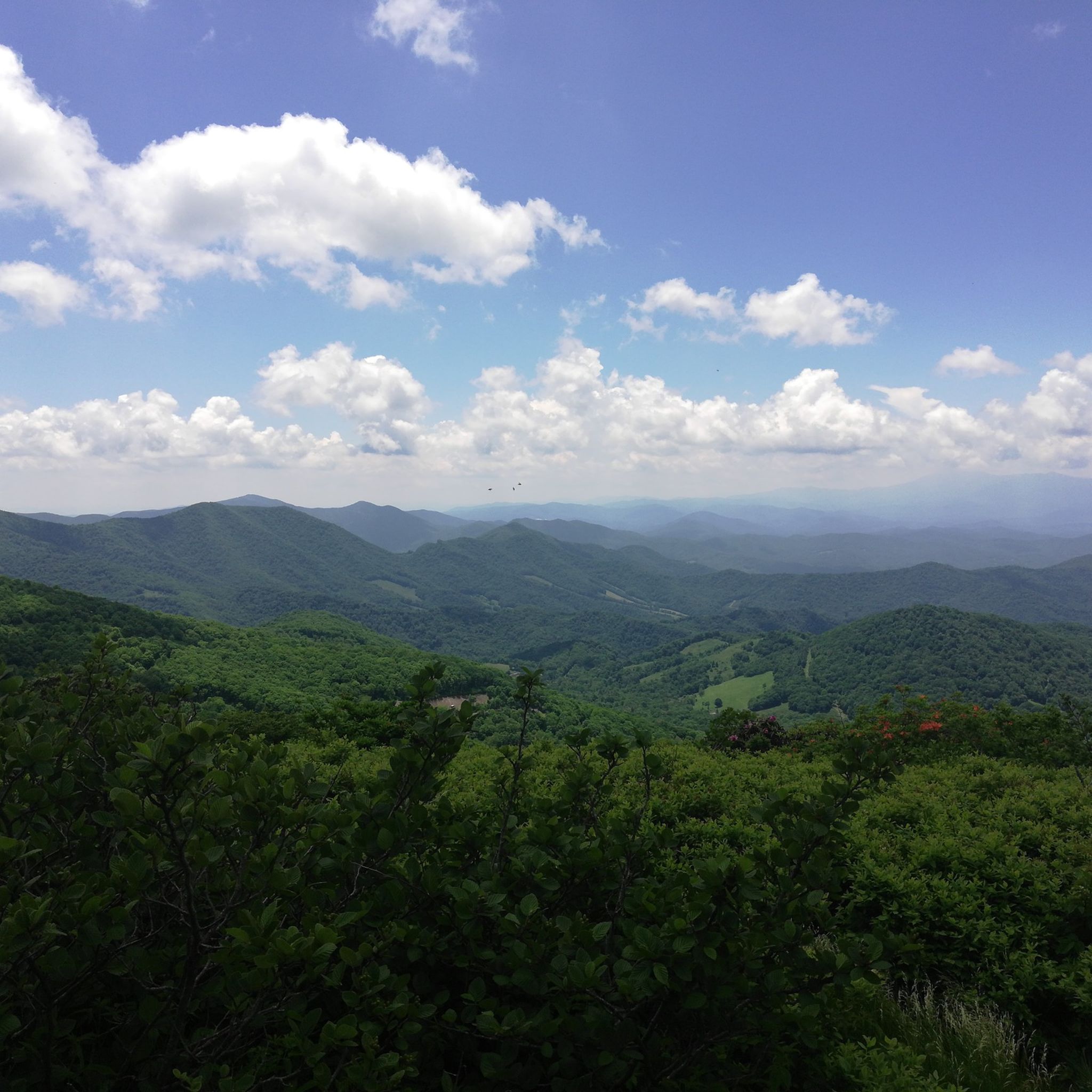
Hiking in Cherokee National Forest
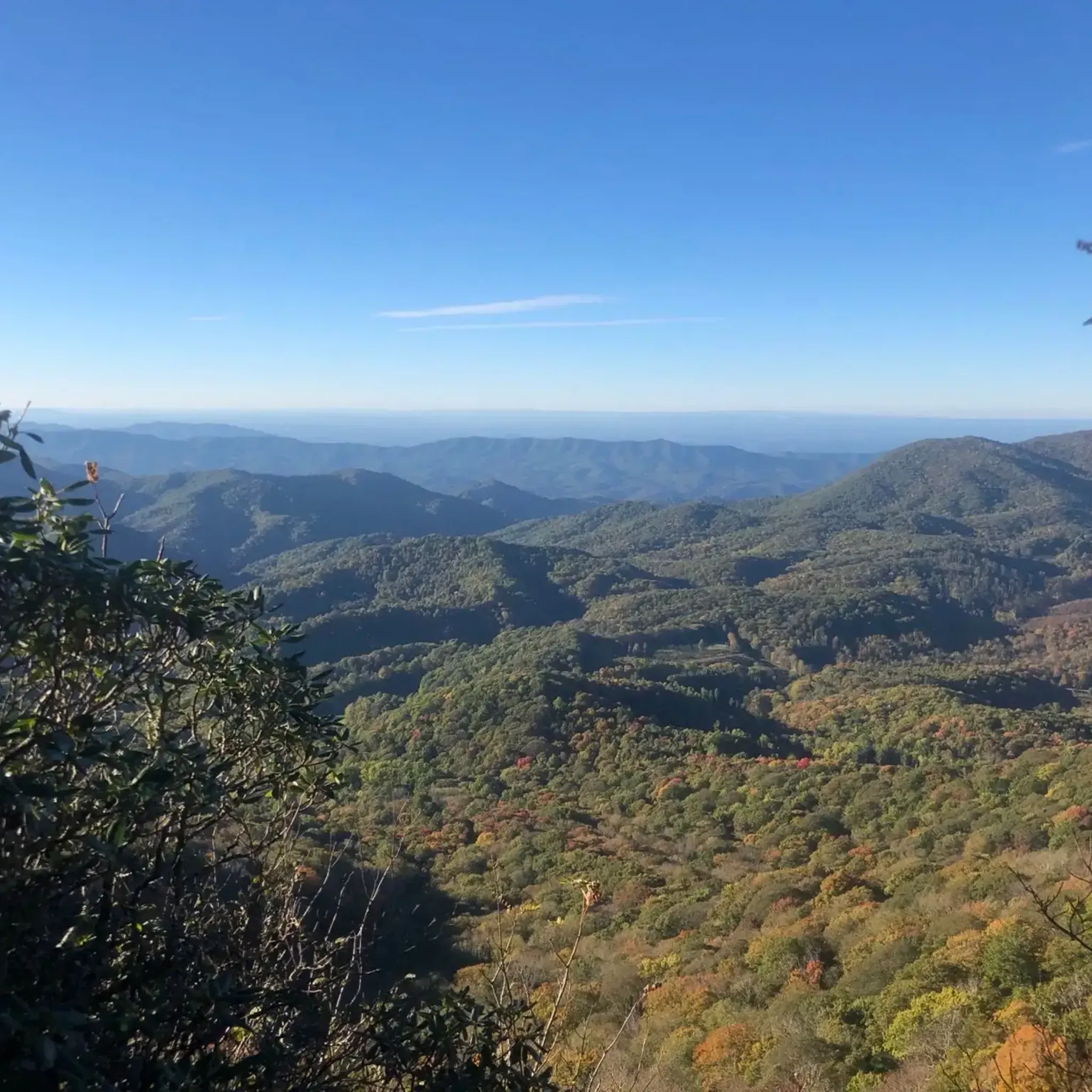
Running Trails in Cherokee National Forest
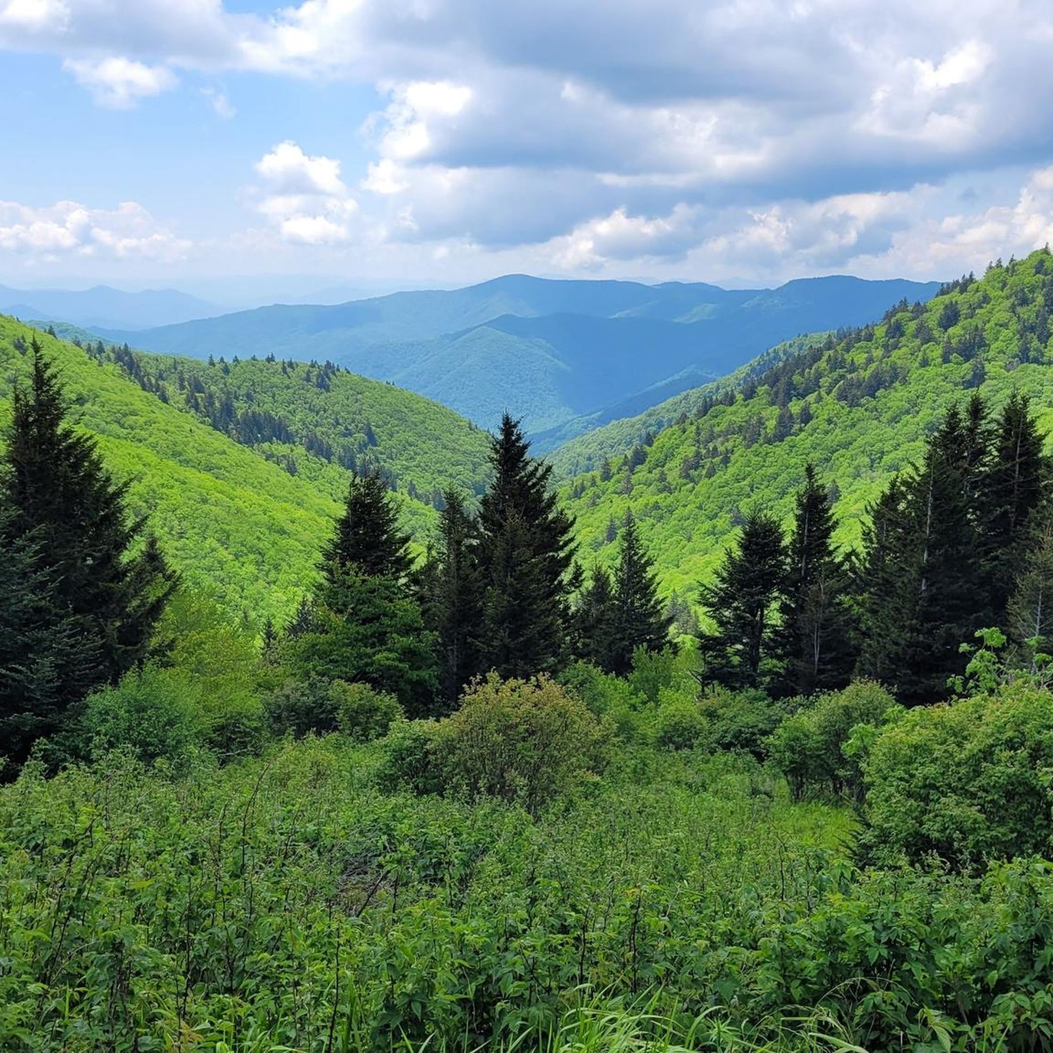
MTB Trails in Cherokee National Forest
Road Cycling Routes in Cherokee National Forest

Gravel biking in Cherokee National Forest
Other adventures in Cherokee National Forest


Tips from the Community

This is a lovely place with nice views of the lake. You can get information about the area and there is a short trail that takes you down to the lake. The visitor center is open from 9 to 5 most days.
0
0
This dam sits right next to the road. It is between 70 and 80 feet tall and an interesting place to stop for a photo. It was completed in 1912 making it one of the oldest dams in the area.
0
0

The Appalachian Trail passes right over the top of Watauga Dam and looks over Watauga Lake. With the Pond Mountain Wilderness to the south and the Big Laurel Branch Wilderness to the north, this is a wild and secluded part of the AT. Once you get away from the boaters at the marina, you'll have a lot of solitude in either direction.
0
0
Unaka High School is a good reference point if you are riding up Stony Creek Road from Elizabethon. You can't miss it. It is a large high school right off the road. During the weekends you can usually leave your car next to the baseball fields if you need a place to park. From here there are several nice cycling loops like the Hollows of Stoney Creek Loop or the Blue Springs Loop.
0
0
Blue Springs Road is beautiful hilly road with old barns and farms all around. It is a winding, two lane road with very little traffic. It is not flat but there are no really long hard climbs and can be done by most intermediate riders.
0
0
Limestone Cove Recreation Area is right off of Highway 107 and next to North Indian Creek. It is a great place to take a break with picnic tables, shade and a bathroom. It is a popular place for trout fishing also.
0
0
Here you find some nice hiking and mountain bike trails. There are several loops with varying difficulty. I wouldn't ride my touring bike on most of the trails but I might stop and check them out just the same. Also, there is a small parking lot here where you can leave your car while on a longer road ride.
0
0
This lovely two lane mountain road winds slowly up from Tiger Valley to the top of Woodby Hill and turns downward towards Highway 107. All along the way there are other small roads that head off on either side. Some of these loop back and reconnect with Simerly Creek Road offering other interesting routes for future rides.
0
0
Frequently Asked Questions
How many touring cycling routes are available in Cherokee National Forest?
There are over 15 touring cycling routes available in Cherokee National Forest, offering a variety of experiences for cyclists. These routes are highly rated by the komoot community, with an average score of 4.3 stars.
What is the general difficulty level of touring cycling routes in Cherokee National Forest?
The touring cycling routes in Cherokee National Forest primarily range from moderate to difficult. While there are a few moderate options, the majority, about 15 routes, are considered difficult, featuring significant elevation changes and rugged mountain terrain. For example, the Watauga Dam and Watauga Dam Visitor Center loop from Watauga Valley is a difficult route with over 500 meters of elevation gain.
Are there any circular touring cycling routes in Cherokee National Forest?
Yes, many touring cycling routes in Cherokee National Forest are designed as loops, allowing you to start and end at the same point. Examples include the Blue Springs loop from Unaka High School, the Limestone Cove loop from Hampton, and the Simerly Creek Road loop — Hampton.
What is the best time of year for touring cycling in Cherokee National Forest?
The Cherokee National Forest offers beautiful cycling conditions during spring, summer, and fall. Spring brings wildflowers, while fall showcases stunning foliage. Summers are warm but can be pleasant, especially at higher elevations. Winter cycling is possible but may be challenging due to colder temperatures and potential for snow or ice, particularly on higher mountain roads.
Can I see waterfalls while touring cycling in Cherokee National Forest?
Yes, the Cherokee National Forest is known for its numerous waterfalls. While cycling, you might be able to access or view some of them. Notable waterfalls in the area include Benton Falls and Bald River Falls. For more detailed information on waterfalls, you can explore the Waterfalls in Cherokee National Forest guide.
What kind of wildlife might I encounter on a touring cycling route in Cherokee National Forest?
The Cherokee National Forest is rich in biodiversity. Cyclists often encounter white-tailed deer, raccoons, and various bird species. Black bears are also present in the forest, so it's important to be aware of your surroundings and practice bear-safe habits.
Are there any other interesting natural landmarks or attractions to explore near the cycling routes?
Beyond the cycling routes, the Cherokee National Forest offers several natural landmarks and attractions. You can visit the Round Bald or the Tip Top (Buffalo Mountain Highpoint) for panoramic views. The Ocoee Whitewater Center, a site of the 1996 Olympics, is also located within the forest. For more attractions, refer to the Attractions in Cherokee National Forest guide.
Are touring cycling routes in Cherokee National Forest suitable for families?
While many routes in Cherokee National Forest are rated moderate to difficult, some sections of scenic byways or less strenuous forest service roads might be suitable for families with older children or those accustomed to longer rides. The Blue Springs loop from Unaka High School is a moderate option that winds through foothills, which could be a good starting point for families seeking a less strenuous ride.
Is public transport available to access touring cycling trails in Cherokee National Forest?
Public transport options directly into the Cherokee National Forest for accessing specific cycling trails are generally limited. Most visitors rely on personal vehicles to reach trailheads and scenic byways. It's advisable to plan your trip with this in mind, as the forest is vast and rural.
Are dogs allowed on touring cycling routes in Cherokee National Forest?
Dogs are generally allowed in the Cherokee National Forest, including on many trails and roads, provided they are kept on a leash. Always ensure your dog is under control and that you clean up after them. Check specific trail regulations before you go, as some areas might have restrictions.
What are the parking options for touring cyclists in Cherokee National Forest?
Parking is typically available at designated trailheads, visitor centers, and along scenic byways within the Cherokee National Forest. Many routes, especially those starting from towns like Hampton or Watauga Valley, will have nearby parking facilities. Always look for official parking areas and avoid blocking access roads or private property.
Are there any permits or special rules for touring cycling in Cherokee National Forest?
Generally, no special permits are required for touring cycling on established roads and trails within the Cherokee National Forest. However, it's always good practice to check the official U.S. Forest Service website for any specific regulations or temporary closures that might apply to the area you plan to visit. Always follow Leave No Trace principles.
Where can I find food or accommodation near the touring cycling routes?
While the Cherokee National Forest itself is largely undeveloped, you can find food and accommodation in the surrounding towns and communities. Towns like Tellico Plains, Erwin, and Hampton, which serve as gateways to the forest, offer various dining options and lodging choices, from hotels to campgrounds. It's recommended to plan your stops in advance, especially for longer tours.
What do other touring cyclists enjoy most about cycling in Cherokee National Forest?
The Cherokee National Forest is highly rated by the komoot community, with an average score of 4.3 stars. Reviewers often praise the diverse landscapes, from rugged mountains to swift rivers and dense woodlands. Cyclists particularly enjoy the challenge of the varied terrain, the stunning vistas along scenic byways like the Cherohala Skyway and Ocoee Scenic Byway, and the opportunity to immerse themselves in the rich natural environment.
Are there any advanced touring cycling routes for experienced riders?
Yes, the Cherokee National Forest offers numerous challenging routes ideal for experienced touring cyclists. Many of the 15 difficult routes feature significant elevation gains and cover substantial distances. For instance, the Tiger Creek Road, Ripshin Lake loop from Hampton is a difficult route with over 700 meters of elevation gain, providing a demanding and rewarding experience.
Most popular routes in Cherokee National Forest
Most popular attractions in Cherokee National Forest

Get inspired with the komoot mobile app


Explore more
Browse the best Cycling routes in other regions.
