The best road cycling routes in Cleveland National Forest
4.7
(85)
2,459
riders
12
rides
Road cycling routes in Cleveland National Forest traverse a vast 460,000-acre expanse in Southern California, offering diverse landscapes for cyclists. The region features a blend of chaparral canyons, high desert, oak woodlands, and conifer forests. These routes often include significant climbs through the Santa Ana, Palomar, and Laguna Mountains, providing varied terrain for road cyclists. While many segments are well-paved, some sections may present more challenging conditions.
Best road cycling routes in Cleveland National Forest
- The most popular road cycling route is Lake Cuyamaca/Mt. Laguna loop, a 45.6 miles (73.3 km) trail that takes 3 hours 53 minutes to complete. This difficult route offers diverse scenery and significant climbing through the area.
- Another top favourite among local road cyclists is Kitchen Creek loop, a difficult 31.8 miles (51.2 km) path. This route provides a strenuous yet rewarding experience with notable elevation gain.
- Local road cyclists also love the Wooded Hill Loop, a 17.0 miles (27.3 km) trail leading through varied woodlands, often completed in about 1 hour 38 minutes.
- Road cycling in Cleveland National Forest is defined by chaparral canyons, oak woodlands, and conifer forests. The network offers options for both moderate and difficult ability levels.
- The routes in Cleveland National Forest are highly rated by the komoot community with an average score of 4.8 stars from over 60 reviews. More than 2,000 road cyclists have used komoot to explore Cleveland National Forest's varied terrain.
Last updated: July 7, 2026
5.0
(2)
73
riders
73.3km
03:54
1,250m
1,250m
Prepare for a demanding road cycling adventure on the Lake Cuyamaca/Mt. Laguna loop, a difficult route that challenges you with 45.6 miles (73.3 km) and a significant 4090 feet (1247 metres) of elevation gain. This ride typically takes around 3 hours and 53 minutes to complete. You'll begin near Lake Cuyamaca with expansive views of mountains and valleys, then climb through high mountain meadows before entering thick pine forests as you approach Mount Laguna. The highlight for many riders is the incredible desert overlooks just past Mount Laguna, offering sweeping vistas of the Anza-Borrego Desert below.
While you won't encounter specific permit requirements or seasonal closures for this route, careful planning is crucial for such a challenging ride. You can find convenient amenities like food and water in towns such as Pine Valley and Guatay. Mount Laguna village also provides a general store and the Pine House Cafe, which makes for a good spot to refuel and rest during your journey.
This route stands out for its dramatic transition through diverse Southern California landscapes, from the tranquil lake views to the rugged mountain terrain and the vast desert expanse. It offers a unique opportunity to experience multiple ecosystems within a single, continuous ride. The journey through Cuyamaca Rancho State Park and up to Mount Laguna showcases the region's natural beauty and varied topography, making it a memorable experience for any dedicated road cyclist.
24
riders
51.2km
02:49
1,100m
1,100m
The Kitchen Creek loop presents a difficult road cycling adventure, covering 31.8 miles (51.2 km) with a substantial elevation gain of 3598 feet (1097 metres). You can expect to complete this ride in about 2 hours and 48 minutes, traversing diverse landscapes that shift from lower elevation sage bushes to higher pine and conifer forests. As you climb, you will be rewarded with expansive views from Laguna Summit, where the Anza-Borrego Desert stretches to the east and the Pacific Ocean shimmers to the west.
When planning your ride, be aware that a large part of Kitchen Creek Road is closed to cars beyond a certain gate, ensuring a quieter cycling experience. However, some sections of the road feature unmaintained asphalt, which can be rough with potholes and fallen rocks. It is important to ensure your racebike is suitable for these varied conditions to enjoy the route safely and comfortably.
This route is a notable part of the Mount Laguna scenic viewpoints, offering a truly challenging ride that demands very good fitness. The changing scenery, from desert vistas to forest paths and pleasant views within Kitchen Creek Canyon when the creek is flowing, makes it a distinctive option for experienced cyclists seeking a demanding journey in the region.

Sign up for free
8
riders
27.3km
01:39
690m
690m
Explore the 17.0-mile Wooded Hill Loop, a moderate route through Laguna Mountain's highest wooded point with scenic views and varied terrain
4.8
(5)
190
riders
83.2km
04:14
1,410m
1,410m
Hard road ride. Very good fitness required. Mostly well-paved surfaces and easy to ride.
5.0
(1)
40
riders
130km
06:52
2,290m
2,290m
Hard road ride. Very good fitness required. Mostly well-paved surfaces and easy to ride.
Get access to more routes and recommendations from other explorers.
Sign up for free
Already have an account?
Our route recommendations are based on thousands of hikes, rides, and runs completed by other people on komoot.
Start today with a free account
Your next adventure awaits.
Login or Signup
Popular around Cleveland National Forest

Bikepacking California — Into The Desert

Pacific Crest Trail from Mexico to Canada – 4,200 kilometres of wilderness
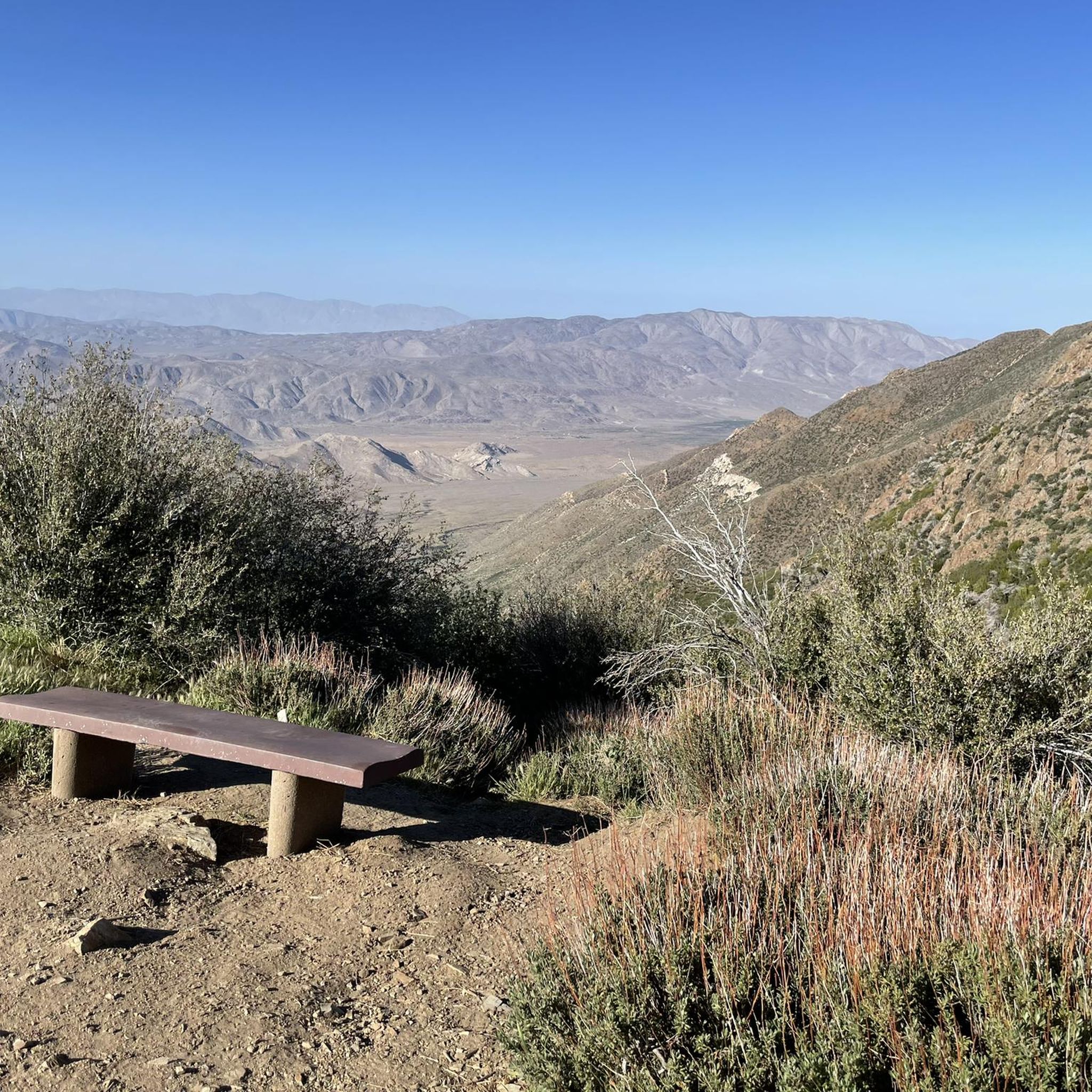
Hiking in Cleveland National Forest
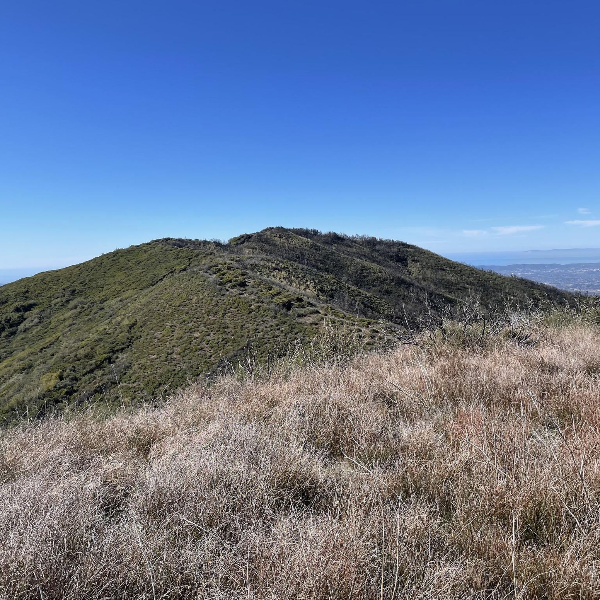
Running Trails in Cleveland National Forest
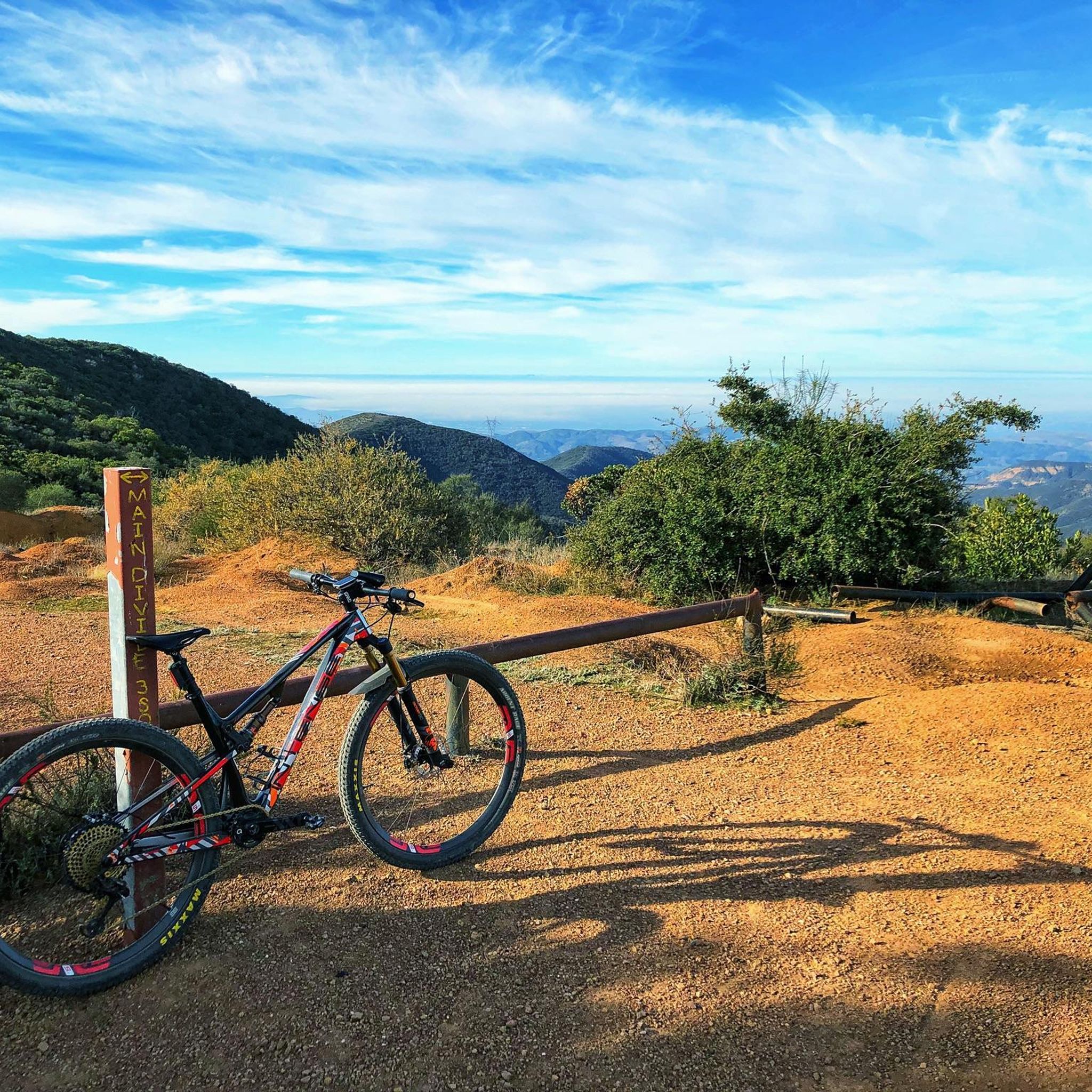
MTB Trails in Cleveland National Forest
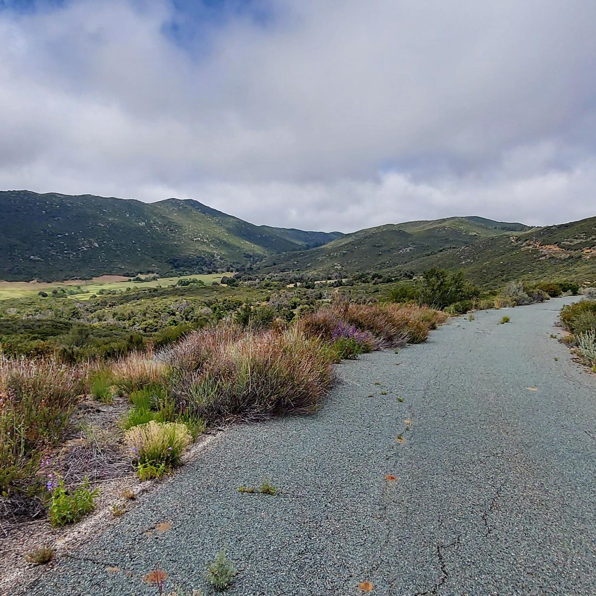
Cycling in Cleveland National Forest
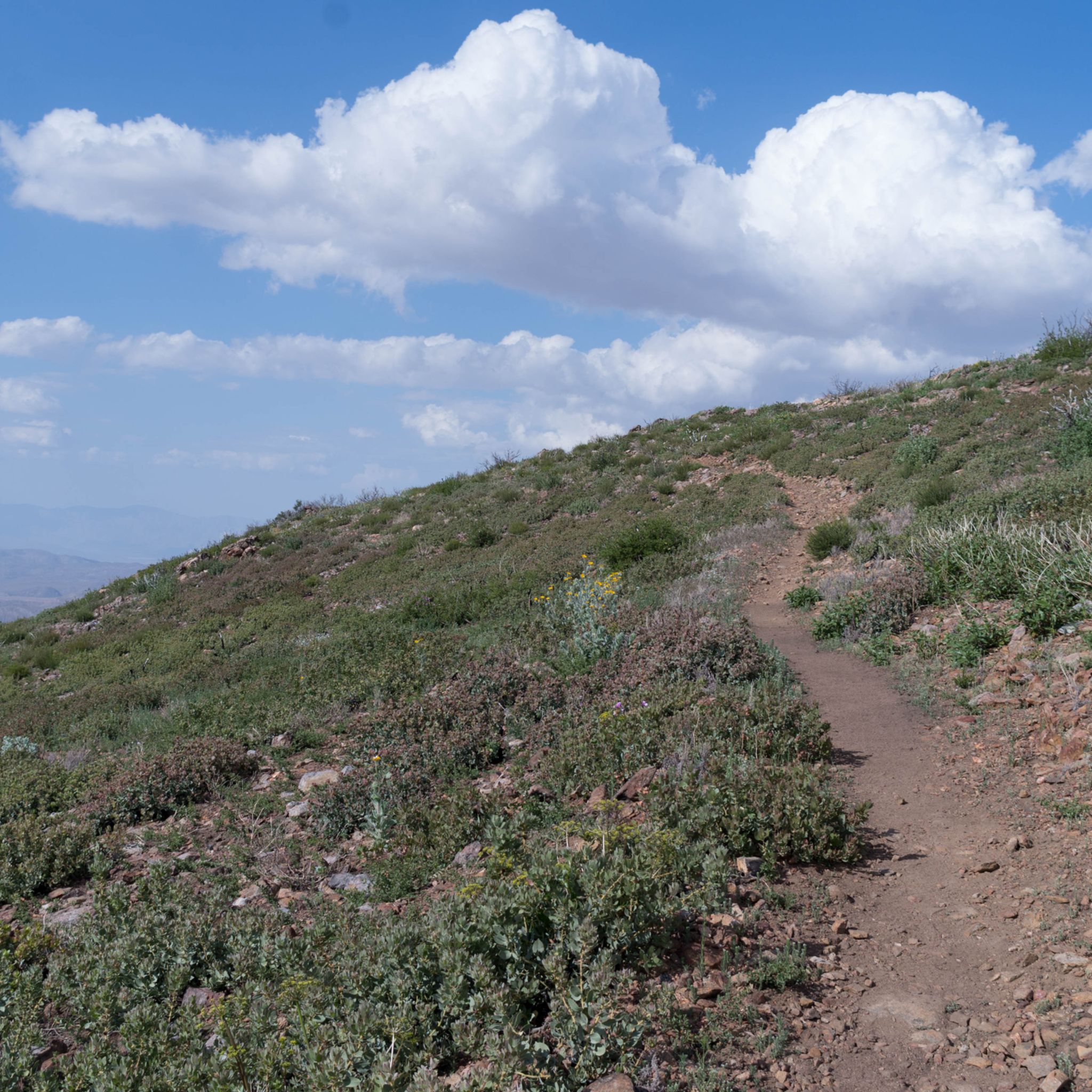
Gravel biking in Cleveland National Forest
Other adventures in Cleveland National Forest


Tips from the Community

The Sweetwater River is a small year-round stream that flows 55 miles from the Cuyamaca Mountains to the San Diego Bay.
1
0

The Sweetwater River flows from Loveland Dam passing through Lake Emma, where the river bends west and runs parallel to Dehesa Road. The lake is fenced off and access is limited. At the western end of the lake is a golf club.
0
0
Laguna Summit is a prominent mountain pass along Sunrise Highway (State Route 79). As one of the highest points along this scenic route, it offers panoramic views of the surrounding landscapes, including the Anza-Borrego Desert to the east and the Pacific Ocean to the west.
0
0
Lake Cuyamaca is a picturesque 110-acre reservoir nestled in the Cuyamaca Mountains. Created in the 1880s to supply water to the city of San Diego, it now serves as a recreational haven for fishing, boating, and picnicking.
0
0


Kwaaymii Point is a spiritual point especially for the indigenous people. On a clear day you can look over the desert including the Sawtooth Range and Cottonwood Canyon.
4
0

Lake Cuyamaca is a reservoir in San Diego County. The reservoir was created in 1888 to provide water for the city of San Diego.Today, the lake is used for fishing and there is a campground on the shore.
2
0
Frequently Asked Questions
How many road cycling routes are available in Cleveland National Forest?
Cleveland National Forest features over 10 dedicated road cycling routes, offering diverse experiences for cyclists. These routes range from moderate to difficult, traversing varied landscapes.
What is the best time of year for road cycling in Cleveland National Forest?
The warm and dry inland-Mediterranean climate makes Cleveland National Forest suitable for road cycling year-round. However, be aware that higher elevations can experience morning frost and occasional snowfall during cooler months.
Are there any beginner-friendly road cycling routes in the forest?
While many routes in Cleveland National Forest are moderate to difficult, some segments or shorter loops can be more accessible. For a moderate option, consider the Wooded Hill Loop, which is 17.0 miles long and leads through varied woodlands.
What kind of terrain can I expect on road cycling routes in Cleveland National Forest?
Road cycling routes in Cleveland National Forest offer diverse terrain, from chaparral canyons and oak woodlands to conifer forests. You can expect significant climbs through the Santa Ana, Palomar, and Laguna Mountains. While most segments are well-paved, some sections might be unpaved and more challenging.
Are there any challenging routes for experienced road cyclists?
Yes, Cleveland National Forest is well-regarded for its challenging routes. Experienced cyclists can tackle the Lake Cuyamaca/Mt. Laguna loop, a 45.6-mile route with over 4,000 feet of climbing, or the Kitchen Creek loop, a difficult 31.8-mile route with significant elevation gain.
What notable landmarks or viewpoints can I see along the road cycling routes?
Along the routes, you can encounter various natural features and viewpoints. The Sunrise National Scenic Byway offers stunning views, and you might pass by highlights such as Storm Canyon Overlook or Bedford Peak. The forest also features impressive waterfalls like Tenaja Falls.
Are there any circular road cycling routes available?
Yes, many of the road cycling routes in Cleveland National Forest are designed as loops. Examples include the challenging Lake Cuyamaca/Mt. Laguna loop and the strenuous Kitchen Creek loop, offering rewarding circular journeys.
What do other road cyclists enjoy most about road cycling in Cleveland National Forest?
The area is highly rated by the komoot community, with an average score of 4.8 stars. Reviewers often praise the diverse scenery, from chaparral to conifer forests, and the rewarding challenge of the climbs through the mountains.
Are there any specific permits required for road cycling in Cleveland National Forest?
Generally, no specific permits are required for road cycling on established public roads within Cleveland National Forest. However, it's always advisable to check the official Cleveland National Forest website or local ranger stations for any current regulations or fire restrictions before your ride.
Where can I find parking for road cycling routes?
Parking is typically available at various trailheads and designated recreation areas throughout the forest. For specific routes, it's recommended to check the route details on komoot or local forest service maps for the most convenient parking locations.
Are there any family-friendly road cycling options in Cleveland National Forest?
While many routes involve significant elevation, some areas might offer flatter, less trafficked roads suitable for families. It's best to review individual route descriptions for distance, elevation, and terrain to determine suitability for your family's experience level.
Can I find cafes or amenities near the road cycling routes?
Amenities like cafes and accommodations are generally found in towns bordering the Cleveland National Forest, such as Julian, Lake Elsinore, or San Juan Capistrano. Within the forest itself, services are limited, so it's essential to carry sufficient water and supplies for your ride.
Most popular routes in Cleveland National Forest
Most popular attractions in Cleveland National Forest

Get inspired with the komoot mobile app


Explore more
Browse the best Road cycling routes in other regions.
