The best MTB trails in Plumas National Forest
4.2
(10)
427
riders
17
rides
Mountain biking in Plumas National Forest offers a diverse landscape for riders, from high-elevation lakes to dramatic river canyons and expansive valleys. The region is characterized by dense forests of Ponderosa and Jeffrey Pines, granite peaks, and varied terrain at the northern terminus of the Sierra Nevada, where it meets the southern Cascade Range. This environment provides a wide array of mountain bike trails, including challenging singletrack and more accessible cross-country options. The forest's topography ranges from 2,000 feet in the Feather River Canyon to over 8,300 feet at Mount Ingalls, ensuring varied elevation profiles for mountain biking.
Best mountain bike trails in Plumas National Forest
- The most popular mountain bike trail is Mills Peak Loop, a 19.2 miles (30.9 km) trail that takes 3 hours 6 minutes to complete. This iconic singletrack is known for its challenging terrain and fast descents through forested areas.
- Another top favourite among local mountain bikers is Jamison Creek Trail, a difficult 23.4 miles (37.6 km) path. This route is steep, chunky, and natural, presenting a technical challenge with substantial elevation gain.
- Local mountain bikers also love the Long Lake Trail, a 7.5 miles (12.0 km) trail leading through the Lakes Basin Recreation Area, often completed in about 1 hour 14 minutes.
- Mountain biking in Plumas National Forest is defined by high-elevation lakes, dramatic river canyons, and dense forests. The network offers options for different ability levels, from challenging singletrack to family-friendly rides.
- The routes in Plumas National Forest are highly rated by the komoot community with an average score of 4.4 stars from more than 10 reviews. More than 400 mountain bikers have used komoot to explore Plumas National Forest's varied terrain.
Last updated: July 7, 2026
18
riders
30.9km
03:06
860m
860m
The Mills Peak Loop is a moderate 19.2-mile (30.9 km) mountain biking trail that promises a varied and engaging ride, typically completed in about 3 hours and 5 minutes with 2830 feet (863 metres) of elevation gain. You'll navigate through diverse terrain, from fast, flowy sections to challenging rock gardens and loose shale, all while enjoying impressive high-mountain scenery and expansive views of the Gold Lakes Basin. It's a trail that keeps you on your toes, rewarding effort with stunning vistas.
Planning your ride on the Mills Peak Loop offers flexibility; you can tackle the full loop as a challenging climb and descent, or opt for a shuttle service to enjoy a predominantly downhill experience. While generally considered moderate, some sections, particularly in the upper third, require good fitness and advanced riding skills. Be sure to factor in the significant elevation changes if you're riding the full loop.
This iconic Northern California mountain biking trail is a creation of the Sierra Buttes Trail Stewardship, the same organization behind the famous Downieville Downhill. Its blend of technical challenges and flowy descents, set within a beautiful high-mountain environment, makes it stand out. Don't miss the historic fire lookout at the peak for truly awe-inspiring panoramic views that cap off the experience.
3.0
(1)
2
riders
23.3km
02:03
330m
330m
Explore the moderate 14.5-mile Bullards Bar Trail Loop, a scenic mountain biking route with great lake and canyon views in Tahoe National Fo

Sign up for free
1
riders
12.0km
01:14
340m
340m
The Long Lake Trail offers a rewarding mountain biking experience in Sierra County, California, perfect for those who appreciate a good climb and scenic surroundings. You'll navigate through varied terrain, from shaded forest paths to more open sections that provide glimpses of the natural beauty of the region. It's a route designed to challenge you without being overly technical, making it a great choice for intermediate riders.
This moderate 7.5-mile (12.0 km) route features a substantial 1106 feet (337 metres) of elevation gain, typically taking about 1 hour and 14 minutes to complete. Plan your visit for the warmer months, from late spring to early fall, to avoid snow and ensure clear trail conditions. Parking is usually available at the trailhead, but an early start is recommended to beat any crowds and enjoy the best riding temperatures.
While specific details about this particular Long Lake Trail are not widely publicized, the area is known for its diverse landscapes and opportunities for outdoor recreation. The trail's moderate difficulty and consistent climb make it an excellent option for building fitness and enjoying the quiet solitude of the Sierra Nevada foothills. It's a solid choice if you're looking for a satisfying ride away from more crowded areas.
2
riders
37.6km
04:09
1,130m
1,130m
The Jamison Creek Trail offers an intense mountain biking experience through the scenic Lakes Basin of California's Lost Sierra. You'll navigate a challenging 23.4-mile (37.6 km) route, gaining 3697 feet (1127 metres) in elevation over approximately 4 hours and 8 minutes. Expect rocky, technical terrain with large steps and loose rock, especially on descents, but also be ready for stunning alpine lake views, including Grass Lake and Wades Lake, that make the effort worthwhile.
This difficult trail is best suited for expert riders, with some segments even carrying a "Double Black Diamond" rating. You can find parking, restrooms, and water at the Upper Jamison Creek Campground, which serves as a convenient trailhead. Be mindful that early season rides might encounter snow banks at higher elevations, so checking conditions is crucial for a safe and enjoyable trip.
Known for its significant climb and technical descent, the Jamison Creek Trail is a popular singletrack option within the region. While primarily a mountain biking route, it's also used by hikers and trail runners, particularly on weekends. The trail's demanding nature and the beautiful Lost Sierra setting make it a standout choice for advanced mountain bikers seeking a true test of skill and endurance.
5.0
(1)
60
riders
35.8km
04:13
1,280m
1,280m
Hard mountain bike ride. Very good fitness required. Advanced riding skills necessary. Some portions of the route may require you to push your bike.
Get access to more routes and recommendations from other explorers.
Sign up for free
Already have an account?
Our route recommendations are based on thousands of hikes, rides, and runs completed by other people on komoot.
Start today with a free account
Your next adventure awaits.
Login or Signup
Popular around Plumas National Forest

The tour of your life – music trails on the Pacific coast

California to Nevada – hiking between Volcanoes, Water & Forest
Hiking in Plumas National Forest
Running Trails in Plumas National Forest
Cycling in Plumas National Forest
Road Cycling Routes in Plumas National Forest

Gravel biking in Plumas National Forest

Tips from the Community

Dark Day Canyon is one of the many crevices in Bullards Bay but this is probably one of the more famous ones, simply because it's near a big parking lot and boat ramp to enter Bullards Bay or its surrounding trails.
0
0

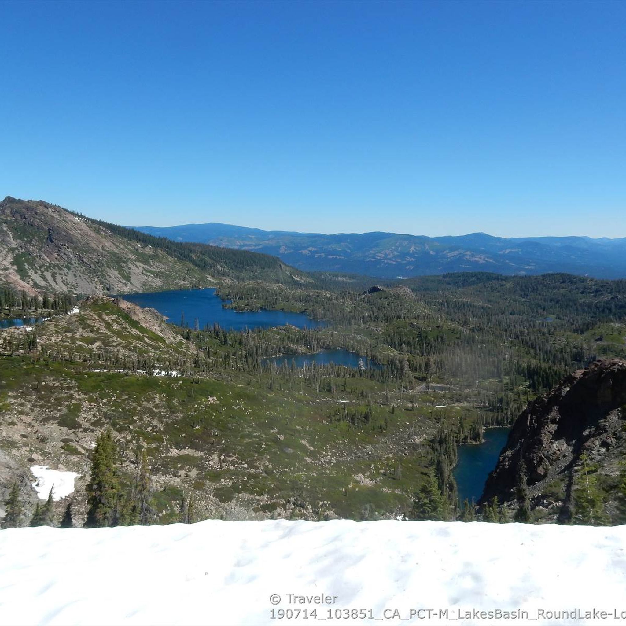
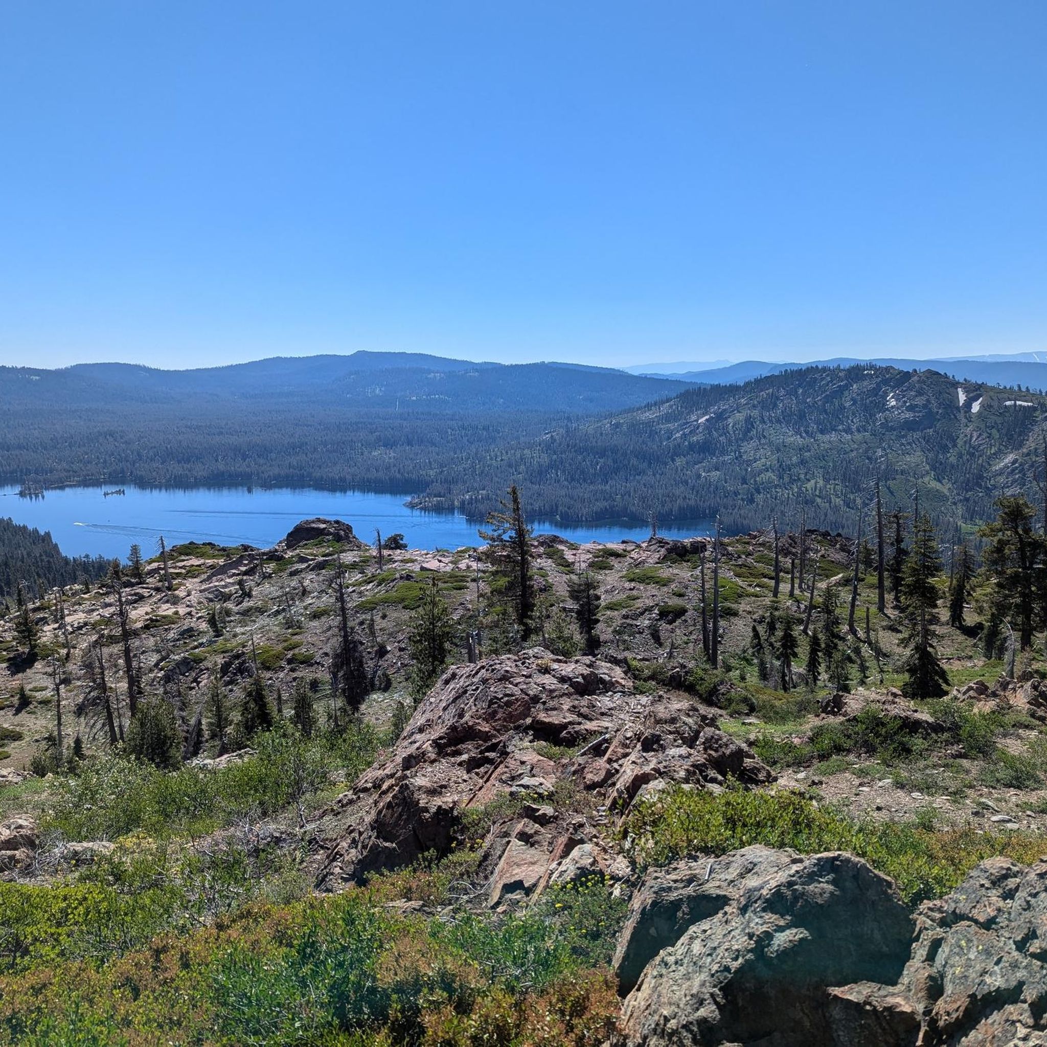
This is a gorgeous and technically challenging trail offering excellent views of Long Lake.
1
0
Mills Peak Trail is a wonderful trail. The upper section is slightly challenging due to the loose underground. While the lower section ist fast and pure fun! Certainly worth the ride.
0
0
Take a moment to enjoy the view from Mills Peak Lookout. The panorama is spectacular!
1
0
If you are looking for technical challenging mountain bike trails, then put Jamison Creek Trail on your todo list. The trail is in the middle of the Lakes Basin and it is steep, chunky and natural!
0
0

Hill Climb between mile 5.1 and 6.3
0
0
Singletrack Downhill between mile 55.2 and 58.5
0
0
Frequently Asked Questions
What is the best time of year for mountain biking in Plumas National Forest?
The prime season for mountain biking in Plumas National Forest typically runs from late May through October. This period ensures most trails are open and rideable, as it depends on snowmelt and favorable weather conditions.
Are there mountain bike trails suitable for beginners or families in Plumas National Forest?
Yes, Plumas National Forest offers several family-friendly and beginner-suitable options. The South Park Trail System near Quincy provides fun cross-country trails for various loop lengths. Another great choice is the Bullards Bar Trail Loop, which is rated as moderate but generally accessible, or the Lake Davis Trail, a pleasant 7-mile lakeshore path.
What kind of challenging mountain bike trails can I find in Plumas National Forest?
For experienced riders seeking a challenge, Plumas National Forest delivers. The Mills Peak Loop is an iconic singletrack known for its challenging terrain and fast descents. The Jamison Creek Trail is another difficult route, steep, chunky, and natural with substantial elevation gain. The Lakes Basin Recreation Area also features technical high-mountain trails with granite steps and rocky sections.
Are there any loop mountain bike trails in Plumas National Forest?
Yes, several trails offer loop configurations. The Mills Peak Loop is a popular 19.2-mile option, and the Bullards Bar Trail Loop provides a 14.4-mile circuit. The Little Grass Valley Lakeshore Trail also offers a 13-mile loop around the lake.
What natural attractions or landmarks can I see while mountain biking in Plumas National Forest?
Plumas National Forest is rich in natural beauty. You can encounter stunning water features like Feather Falls, a dramatic 640-foot waterfall. The region also boasts numerous cold-water lakes such as Long Lake and Smith Lake, and offers dramatic river canyons, especially along the Middle Fork of the Feather River. Keep an eye out for viewpoints like Lookout Rock - PCT for expansive vistas.
What do other mountain bikers say about the trails in Plumas National Forest?
The mountain bike trails in Plumas National Forest are highly regarded by the komoot community, holding an average rating of 4.4 stars from over 10 reviews. Riders frequently praise the diverse landscape, from high-elevation lakes to dramatic river canyons, and the variety of trails catering to different skill levels.
Are there any trails that feature lakes or water views?
Absolutely. The Long Lake Trail, located in the Lakes Basin Recreation Area, offers beautiful views of Long Lake. The Lake Davis Trail provides a pleasant ride along the lakeshore, and the Little Grass Valley Lakeshore Trail loops around the entire lake, offering continuous water views.
What are the typical distances and elevation gains for mountain bike trails in Plumas National Forest?
Trail distances vary significantly, from shorter family-friendly options to challenging long-distance routes. For example, the Long Lake Trail is about 7.5 miles (12 km) with around 1,100 feet (337 m) of elevation gain. More demanding trails like the Jamison Creek Trail span over 23 miles (37 km) with more than 3,600 feet (1,100 m) of climbing.
Are there any specific viewpoints or scenic overlooks accessible by mountain bike?
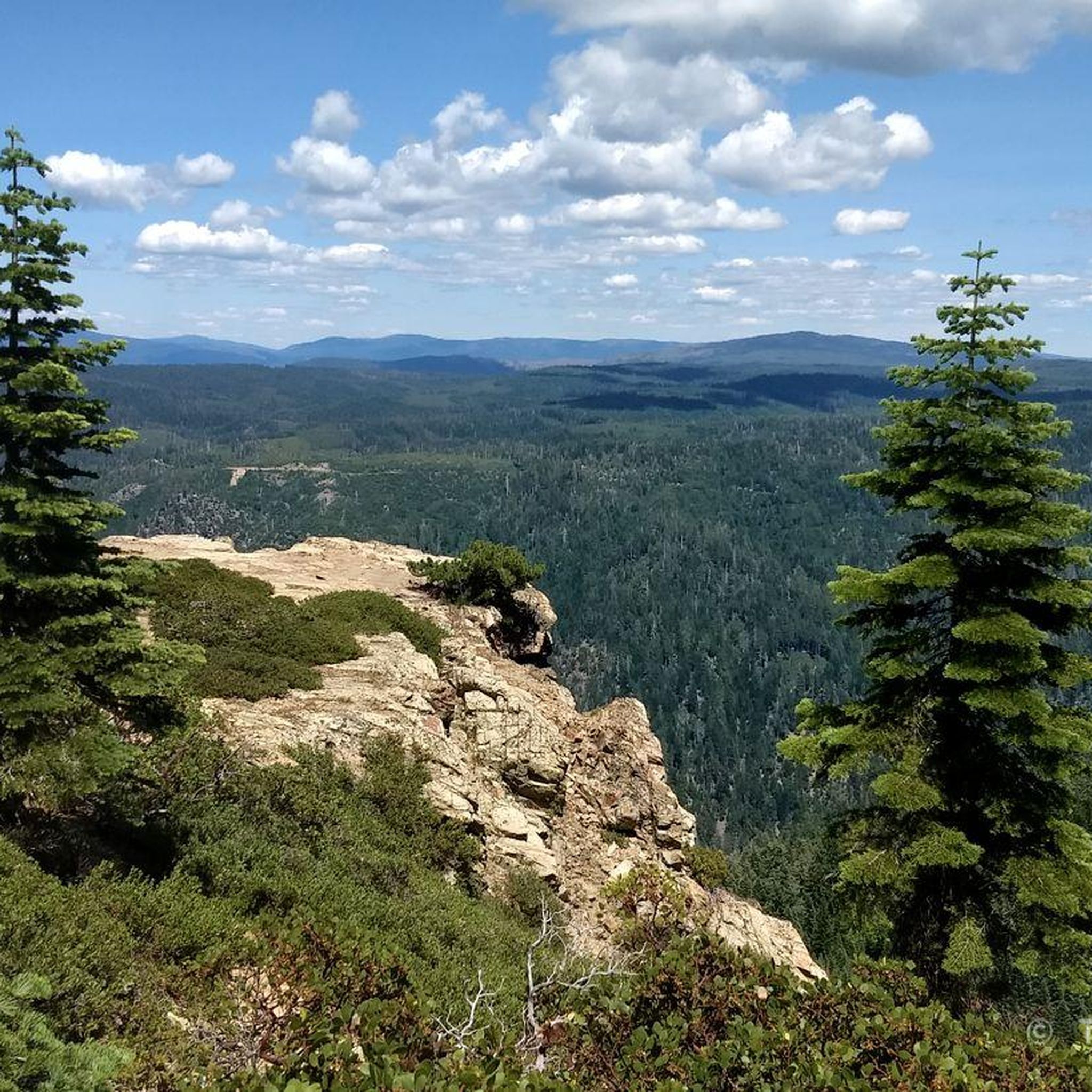
Yes, the diverse topography of Plumas National Forest offers many scenic spots. Trails often lead to high-elevation areas providing dramatic views of the surrounding valleys and mountains. The Pacific Crest Trail, which traverses 75 miles of the forest, offers particularly dramatic views, especially from the Bucks Lake Wilderness at the top of an escarpment. You can also find specific viewpoints like Silver Lake vista.
What is the highest point I can reach on a mountain bike trail in Plumas National Forest?
While Mount Ingalls is the highest peak in the forest at 8,376 feet, many mountain bike trails offer significant elevation. The Mount Hough Trail, for instance, features a substantial 3,800 vertical feet descent from Crystal Lake, implying a high starting elevation. The Mount Hough Summit – Arlington Heights loop also reaches considerable heights with over 4,200 feet (1,289 m) of elevation gain.
Are there opportunities for wildlife spotting while mountain biking?
Plumas National Forest is home to diverse wildlife, including deer, bears, and various bird species. While specific sightings are never guaranteed, riding through the dense forests of Ponderosa and Jeffrey Pines, mountain meadows, and wetlands increases your chances of encountering local fauna. Early morning or late afternoon rides are often best for wildlife viewing.
Are there any amenities like cafes or accommodation near the mountain biking trails?
While the focus of Plumas National Forest is on natural recreation, towns like Graeagle, Quincy, and Portola, located near various trailheads, offer amenities such as cafes, restaurants, and accommodation options. It's advisable to check specific town offerings based on your chosen trail's proximity.
Most popular routes in Plumas National Forest
Most popular attractions in Plumas National Forest

Get inspired with the komoot mobile app


Explore more
Browse the best MTB trails in other regions.
