The best walks and hikes in Lake Tahoe Basin Management Unit
4.7
(583)
8,436
hikers
413
hikes
Hiking in Lake Tahoe Basin Management Unit offers diverse landscapes within the Sierra Nevada mountains. The terrain features dramatic granite peaks, glacially-carved valleys, and dense pine forests. Elevations range significantly, from Lake Tahoe's 6,225 feet (1,900 m) above sea level to the 10,881-foot (3,317 m) Freel Peak. The region is characterized by numerous alpine lakes and the clear waters of Lake Tahoe itself.
Best hiking trails in Lake Tahoe Basin Management Unit
- The most popular hiking route is Eagle Falls…
Last updated: October 11, 2026
4.9
(30)
209
hikers
10.9km
04:09
570m
570m
The Bayview and Eagle Lake Trail Loop takes you on a spectacular journey through the Desolation Wilderness, transitioning from shaded pine forests to open granite slabs and rugged alpine scenery.…
4.6
(12)
118
hikers
12.1km
03:31
330m
330m
Embark on a scenic adventure around Emerald Bay with the Vikingsholm, Lower Eagle Falls, and Rubicon Trail Loop, a moderate 7.5-mile (12.1 km) hike that takes roughly 3 hours and…

4.5
(4)
116
hikers
8.32km
02:15
120m
120m
Embark on the Emerald Point Trail for a moderate hike that takes you along Lake Tahoe's stunning shoreline. This 5.2-mile (8.3 km) route involves a gentle ascent of 385 feet…
5.0
(7)
106
hikers
17.0km
05:11
490m
460m
Embark on a challenging hike along the Pacific Crest Trail from Echo Lake to Lake of the Woods, a difficult route covering 10.6 miles (17.0 km). You will gain 1597…
4.9
(8)
101
hikers
4.34km
01:09
40m
50m
The Spooner Lake Trail offers a wonderfully accessible and scenic escape into the Lake Tahoe Nevada State Park. This easy 2.7-mile (4.3 km) loop takes you around the tranquil Spooner…
Get access to more routes and recommendations from other explorers.
Already have an account?
Our route recommendations are based on thousands of hikes, rides, and runs completed by other people on komoot.
Start today with a free account
Your next adventure awaits.
Popular around Lake Tahoe Basin Management Unit

American Discovery Trail — Walking from sea to shining sea

Tahoe Rim Trail — Hiking along the Jewel of the Sierra

California to Nevada – hiking between Volcanoes, Water & Forest

Circumnavigating Lake Tahoe in the Sierra Nevada – Tahoe Rim Trail

American Discovery Trail — Riding coast to coast
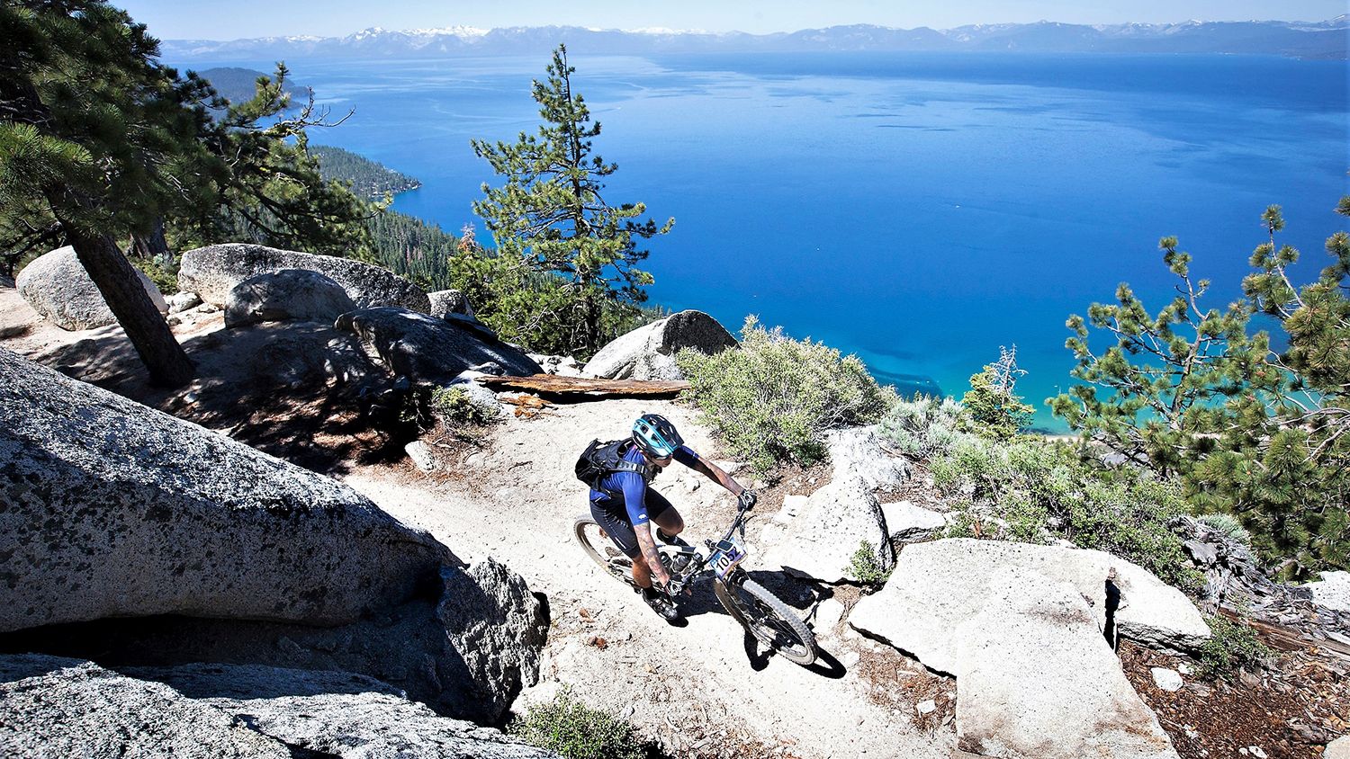
Rocky trails and magical views – MTB Tours in Nevada

Unforgettable MTB Adventures – IMBA Epic Trails in USA and Canada
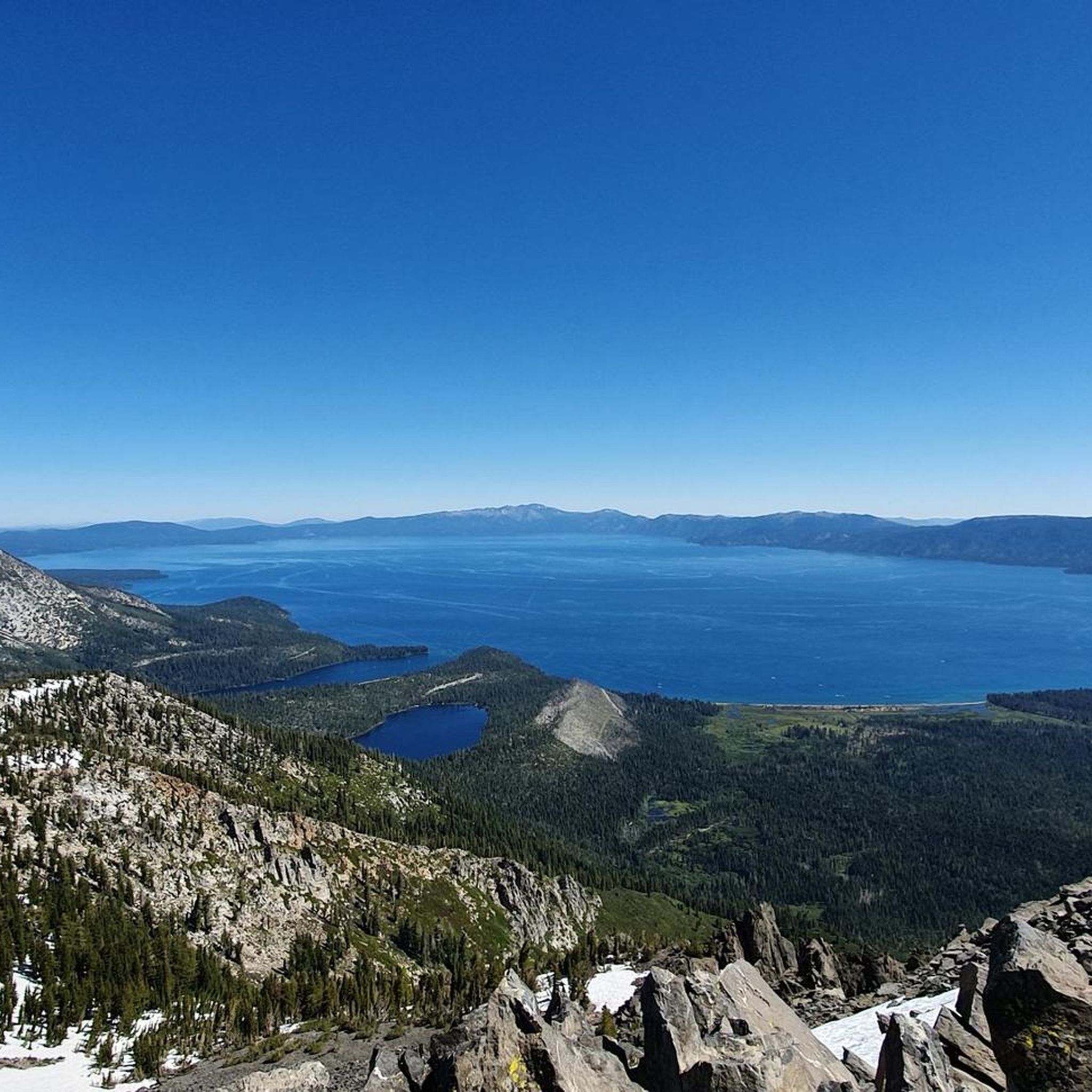
MTB Trails in Lake Tahoe Basin Management Unit
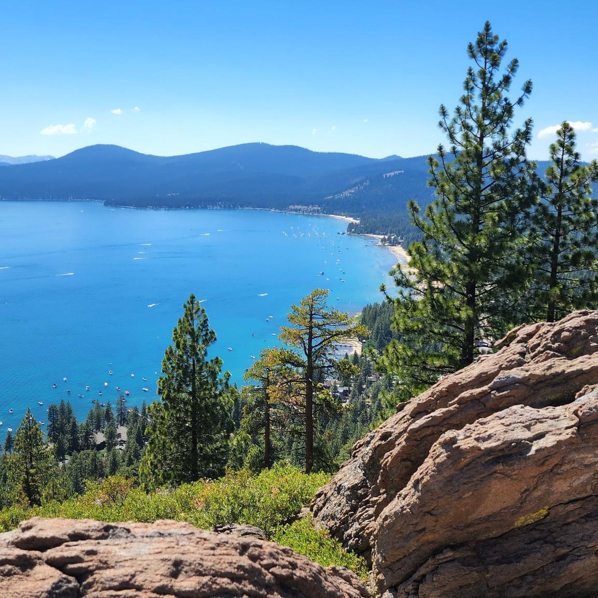
Cycling in Lake Tahoe Basin Management Unit
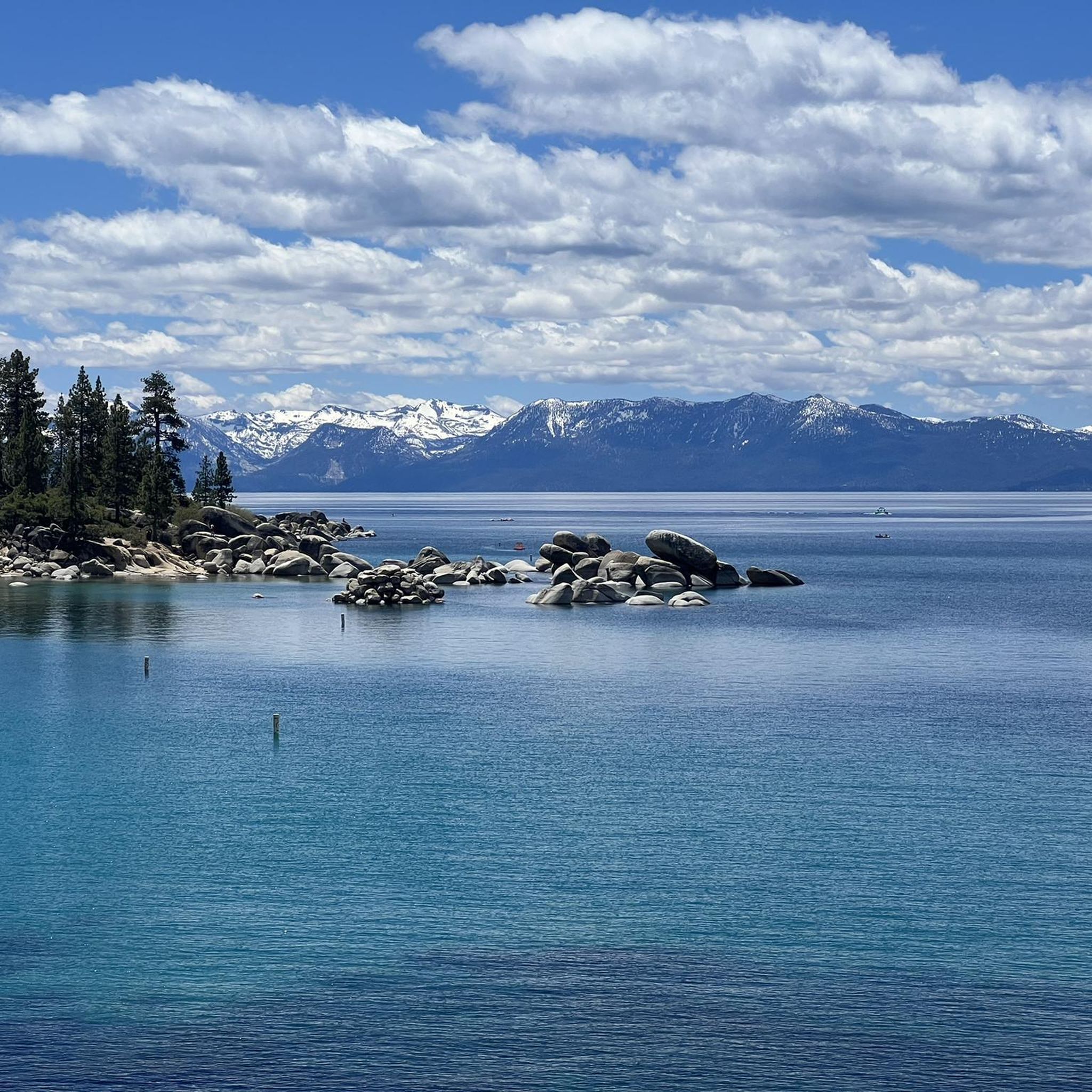
Running Trails in Lake Tahoe Basin Management Unit
Other adventures in Lake Tahoe Basin Management Unit


Tips from the Community

Cascade Falls Trailhead looks like a beautiful place to explore! The scenic views and https://www.myaarpmedi.care peaceful natural surroundings make it a perfect spot for hiking and enjoying the outdoors. Definitely a place worth visiting!
0
0

The Tahoe Rim Trail that is also the iconic Pacific Crest Trail in this section, the view of Lower Echo Lake is just breathtaking and a provides picture postcard scenery. Take your time, stop here and there and embrace this alpine paradise.
3
0

During our hike in mid October, we couldn’t see the waterfall as it was almost dried up. Considering the height of the bridge it must look stunning after the raining season.
0
0

Vikingsholm beach has a dock that is an L shape, and visitors can walk out on it and get a great view of Fannette Island and the white sandy shores of Emerald Bay. Enjoy the crystal clear blue water of Lake Tahoe, with an average clarity of 70.1 feet.
0
0

Vikingsholm is situated at the head of Emerald Bay in Lake Tahoe, and is renowned for its Scandinavian architectural style and stunning natural surroundings. Built in 1929 by Lora Josephine Knight, who was inspired by Scandinavian fjords, the estate is considered one of the finest examples of such architecture outside the Nordic countries. The property spans 232 acres, including Lake Tahoe's only island and a unique waterfall flowing directly into the lake. After Knight's death in 1945, the estate was sold to Lawrence Holland and later to Harvey West, who donated it to the State of California in 1953. Now part of the Harvey West Unit of Emerald Bay State Park, Vikingsholm is open for tours from June to September, accessible via a one-mile trail or by boat. There is a visitor center, beach access, hiking trail access at this spot.
0
0
The trailhead for the popular hike up to Eagle Falls is right off of the main Emerald Bay Road in South Lake Tahoe. Before you even begin your hike you get great views of Emerald Bay. Although there is a large parking lot, it can fill up fast, so be sure to get here early or carpool.
0
0

This is a pretty little lake, nestled in the heart of a dense poplar forest. A small quiet corner where it is good to take a break.
0
0

This backcountry gem is right on the path to and from Maggie's Peaks — a great opportunity to take a relaxing dip or just enjoy the beauty if you want to keep running past.
0
0
Frequently Asked Questions
Are there many trails to choose from in the Lake Tahoe Basin?
Yes, there are over 300 hiking routes available in the Lake Tahoe Basin Management Unit. The network includes everything from short, accessible lakeside paths to strenuous, high-altitude ascents into the Sierra Nevada, offering options for all fitness levels.
What do other hikers think of the trails in the Lake Tahoe Basin?
The area is highly regarded by the komoot community. Hikers often praise the stunning combination of granite peaks, dense pine forests, and the crystal-clear waters of the alpine lakes. The trails are consistently rated for their breathtaking vistas and well-maintained paths.
Are there any easy, family-friendly hikes available?
Absolutely. The region has many shorter, less strenuous trails perfect for families. For a great experience with a waterfall view, consider the hike to Eagle Falls and Eagle Lake from the Vikingsholm Trailhead. It's a manageable walk that rewards with beautiful scenery.
Can I bring my dog on hikes in the Lake Tahoe Basin?
Dogs are welcome on many trails within the Lake Tahoe Basin Management Unit, but they must be on a leash. However, please be aware that dogs are generally not permitted on trails within designated swimming beaches or in the Desolation Wilderness. Always check specific trail regulations before you go.
Do I need a permit to hike in the Lake Tahoe Basin?
For most day hikes in the Lake Tahoe Basin Management Unit, you do not need a permit. However, if your hike enters the Desolation Wilderness, a permit is required for both day and overnight use to protect the fragile ecosystem. Campfire permits are also required for using stoves in the backcountry.
Are there any good hikes with waterfalls?
The area is known for its beautiful waterfalls, especially in the spring and early summer. Eagle Falls in Emerald Bay is one of the most famous and accessible. The Lower Eagle Falls and Overlook Trail is a moderate route that provides fantastic views of the falls and the bay.
What are the options for parking at popular trailheads?
Parking at popular trailheads, especially around Emerald Bay and for the Mount Tallac trail, can be very limited and fill up early in the morning, particularly on weekends and holidays. It's highly recommended to arrive early or consider using local shuttle services where available to avoid parking issues.
Are there opportunities for backpacking or multi-day hikes?
Yes, the Lake Tahoe Basin is a premier destination for backpacking. The 165-mile Tahoe Rim Trail offers incredible multi-day segments, and the adjacent Desolation Wilderness features stunning routes to alpine lakes like Lake Aloha. Remember that overnight trips into Desolation Wilderness require a permit.
What is hiking in Desolation Wilderness like?
Hiking in Desolation Wilderness offers a true backcountry experience characterized by a stark, beautiful landscape of granite peaks, glacially-carved valleys, and more than 100 alpine lakes. It feels more remote and rugged than other parts of the basin. Trails can be challenging, and permits are mandatory to preserve its wild character.
Can I visit Vikingsholm Castle during a hike?
Yes, you can. Vikingsholm Castle is located at the head of Emerald Bay and is accessible via a steep one-mile trail from the highway parking lot. Several hiking trails, including parts of the Rubicon Trail, pass near the castle, allowing you to combine a scenic hike with a visit to this unique historical landmark.
What are the trail conditions like in winter?
During winter, the region transforms into a snow-covered landscape. Many hiking trails become excellent routes for snowshoeing or cross-country skiing. Higher elevation trails and north-facing slopes will hold snow well into the spring. Always check avalanche conditions and be prepared with appropriate gear like snowshoes, microspikes, and layered clothing.
Most popular routes in Lake Tahoe Basin Management Unit
Most popular attractions in Lake Tahoe Basin Management Unit

Get inspired with the komoot mobile app


Explore more
Browse the best Hikes in other regions.
