Top 20 Mountain Passes in White River National Forest
Best mountain passes in White River National Forest traverse a vast landscape in Colorado, offering diverse geographic features and historical routes. This region includes high-elevation passes that cross the Continental Divide, such as Independence Pass and Hagerman Pass. The passes navigate through varied terrain, from aspen groves and granite walls to alpine tundra and scenic river valleys. Many routes hold historical significance, having served as critical pathways for indigenous tribes, explorers, and mining operations.
Best mountain passes in White River National Forest
- The most popular mountain passes is Hoosier Pass, a mountain pass that sits on the Continental Divide at 11,542 feet in elevation. It connects the towns of Alma and Breckenridge and is the highest point along the TransAmerica bike trail.
- Another must-see spot is Kokomo Pass, a challenging mountain pass. At an elevation of 12,027 feet, it offers views over the Gore Range of the Rocky Mountains.
- Visitors also love Boreas Pass Gravel, a historical mountain pass. This route tops out at 11,481 feet and connects Como to Breckenridge, following the path of a former narrow-gauge railroad.
- White River National Forest is known for high-elevation passes, historical routes, and scenic drives. The region offers a variety of mountain passes to see and explore, many of which cross the Continental Divide.
- The mountain passes in White River National Forest are appreciated by the komoot community, with 32 highlights and 10 photos contributed by users.
Last updated: July 10, 2026
Kokomo Pass
Highlight • Mountain Pass
Tip by

Searle Pass
Highlight • Mountain Pass
Tip by
Sign up now to discover places like this
Get recommendations on the best single tracks, peaks, & plenty of other exciting outdoor places.
Sign up for free
Georgia Pass
Highlight • Mountain Pass
Before Colorado officially became a territory, Georgia Pass bordered the territories of Kansas and Utah. The original trail was designed so that wagons could pass through when going to and from the area’s many mining towns. A toll road was officially established in 1861.
Tip by

Hoosier Pass
Highlight • Mountain Pass
Tip by
Boreas Pass Gravel
Highlight • Mountain Pass
Tip by

Sign up for free to discover even more mountain passes in White River National Forest.
Sign up for free
Already have an account?
Start today with a free account
Your next adventure awaits.
Login or Signup
Popular around White River National Forest

The Colorado Trail — Ten incredible days in the Rocky Mountains

Colorado Trail — The pinnacle of wild Colorado
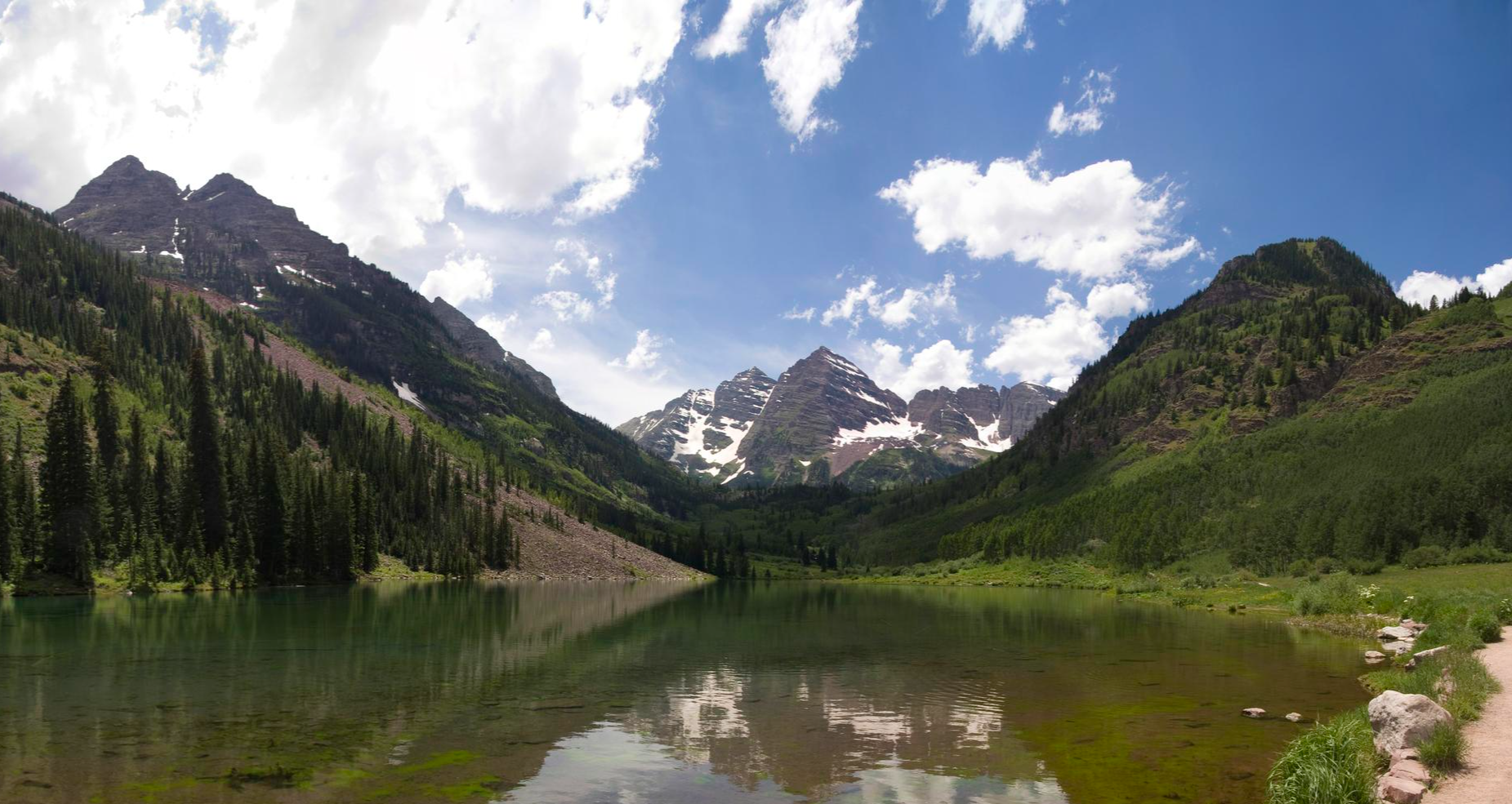
Four Pass Loop — Four times the challenge, four times the reward

From the mountain peaks to the prairie – Rocky Mountains and Great Plains
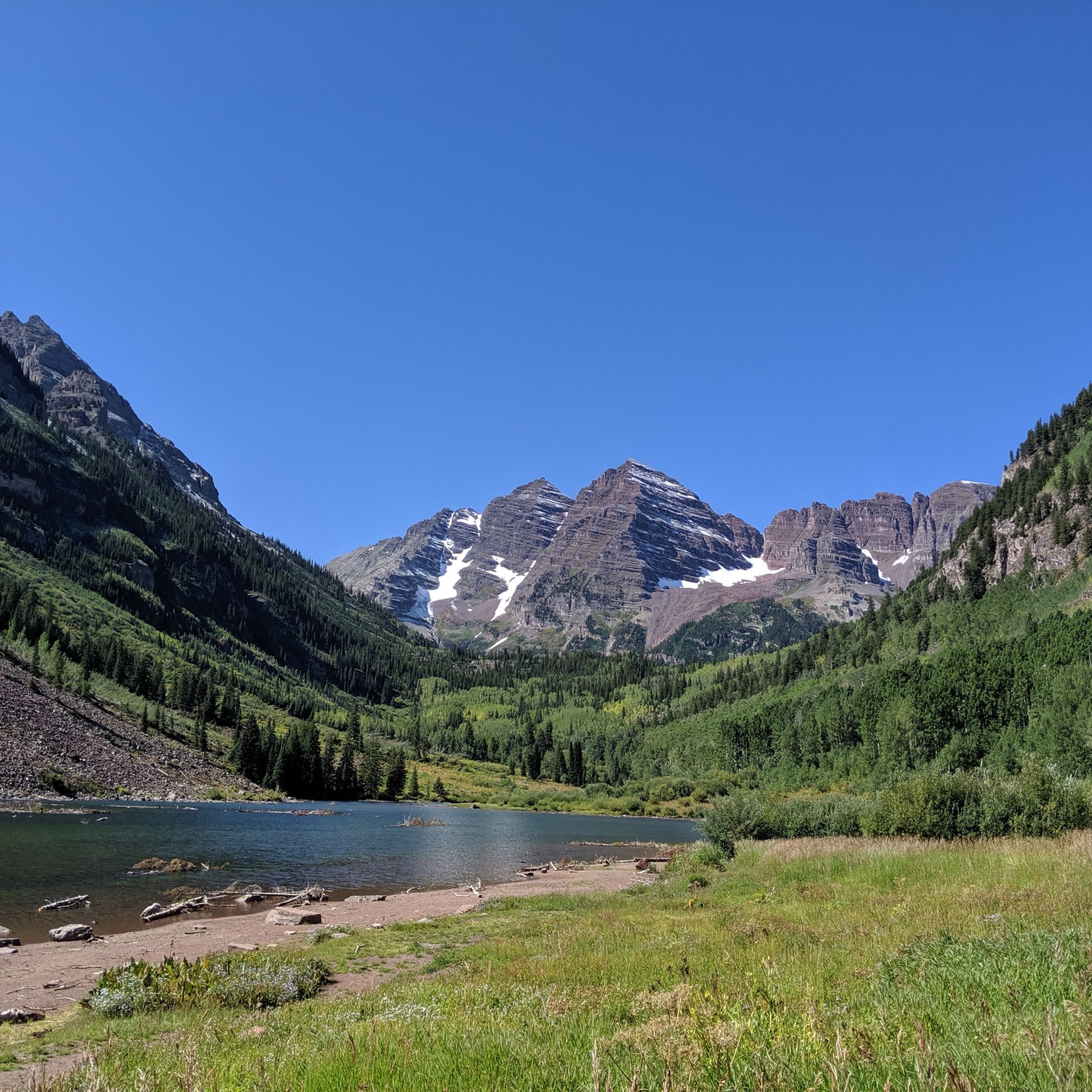
Hiking in White River National Forest
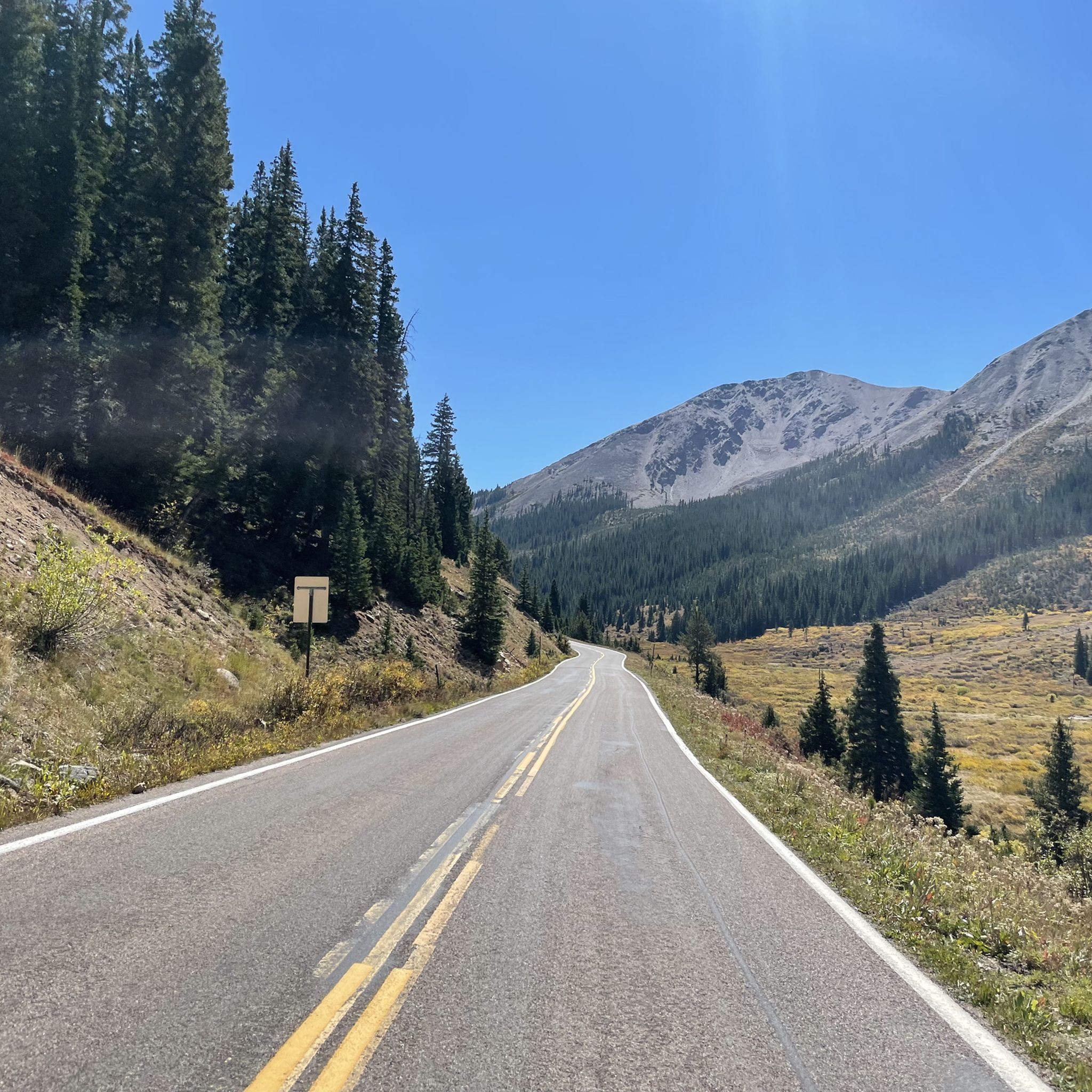
Road Cycling Routes in White River National Forest
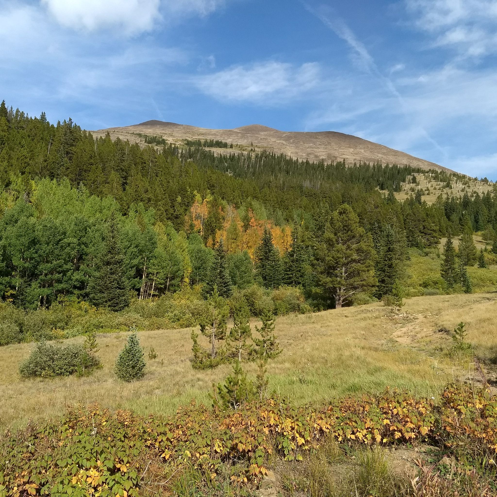
MTB Trails in White River National Forest
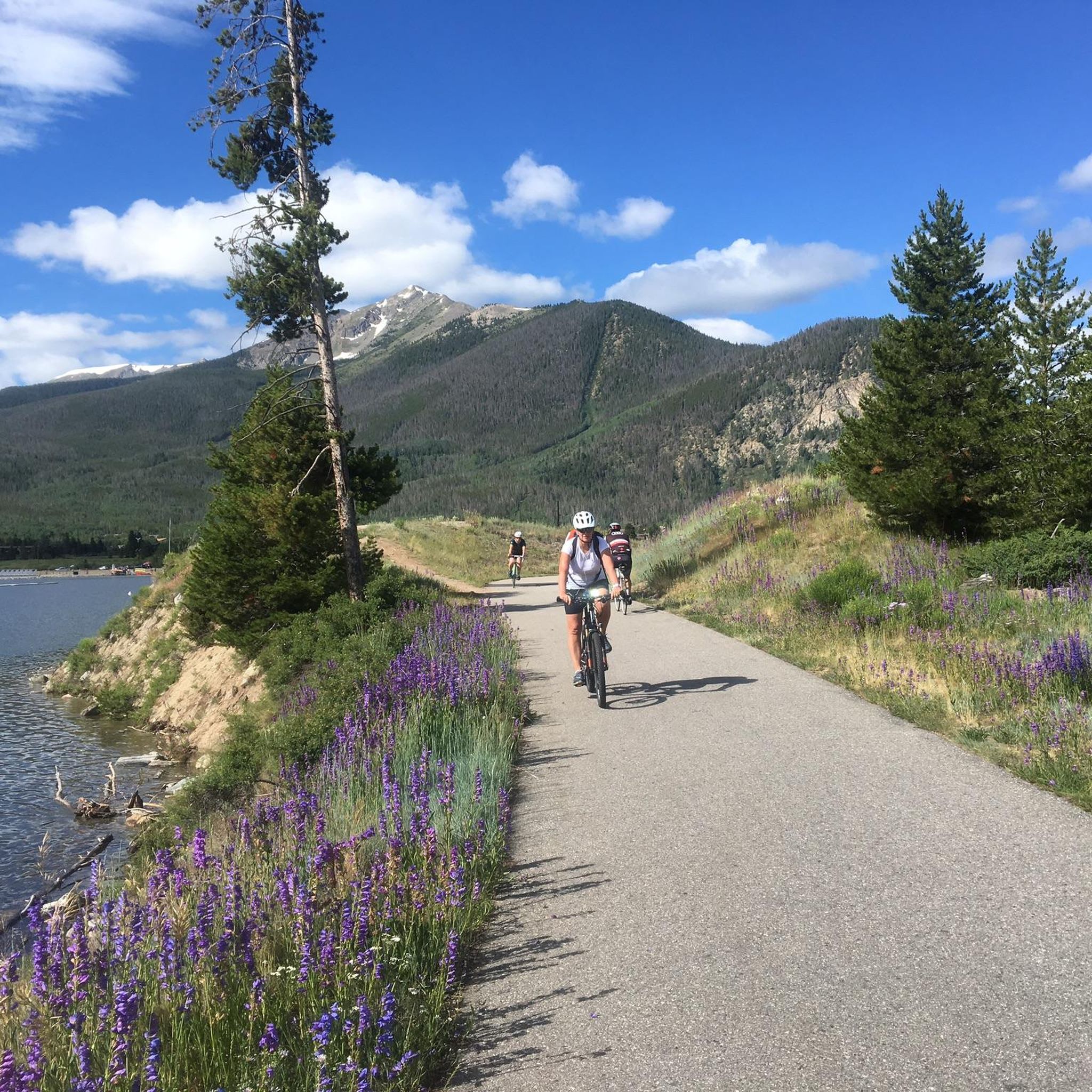
Cycling in White River National Forest
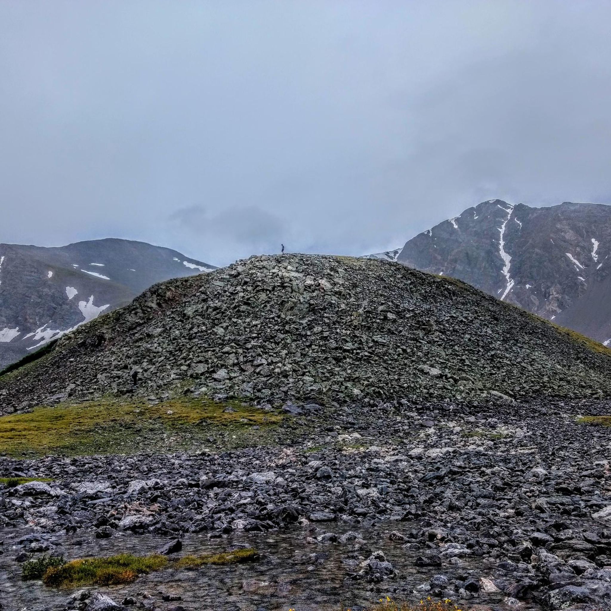
Running Trails in White River National Forest
Gravel biking in White River National Forest
Other adventures in White River National Forest


Tips from the Community

Kokomo Pass is a high pass at 12,027 feet above sea level. It has great views over the Gore Range of the Rocky Mountains. During the right season, bikers can catch beautiful wildflowers.
0
0

Hoosier Pass is a mice mountain climb to begin from Breckenridge. The road has a decent sized shoulder on the way up and you are rewarded with mountain views once you reach the switchbacks. In the winter they do a good job of clearing the roads, but there is quite a bit of sand.
0
0

Boreas Pass tops out at 11,481 feet and connects Como to Breckenridge. Boareas Pass was the nation's highest narrow-gauge railroad, running from 1872 to 1938. The pass was then converted to an automobile route in 1952.
0
0
Hoosier Pass sits on the Continental Divide at 11,542 feet in elevation and connects the towns of Alma & Breckenridge. It is also the highest point along the TransAmerica bike trail, a 4,200-mile route from Oregon to Virginia.
0
0

Searle Pass is one of two passes between Copper Mountain and Camp Hale on the Colorado Trail. This pass sits at 12,034 feet and is slightly taller than its partner Kokomo Pass. The ridgeline gains and loses elevation slightly, but it is not as steep as the sections of trail climbing up and down from the passes.
0
0
At an elevation of 12,027 feet, Kokomo Pass is one of two high mountain passes in the Colorado Trail: Segment 8. The other pass, Searle Pass, is a little less dramatic. It does not have as striking views as Kokomo, but it does still rise up to 12,034 feet. The section of trail between these two mountain passes is exposed alpine meadows with easy to follow singletrack etched into the landscape.
2
0
Searle Pass sits at 12.034 feet in elevation and only accessed by a trail shared by Colorado Trail & Continental Divide National Scenic Trail.
0
0
Georgia Pass crosses the Continental Divide at 11,598 feet in elevation. Located between the towns of Jefferson and Breckenridge, the trail was originally designed so wagons could pass through when going to and from the area's mining towns.
0
0
Frequently Asked Questions
When is the best time to visit the mountain passes in White River National Forest?
The best time to visit depends on your interests. For vibrant fall foliage, McClure Pass is particularly renowned in the autumn months. Spring and summer offer opportunities for wildflowers and full access to most passes. High-elevation passes like Independence Pass and Hagerman Pass are typically open from late May to late October, closing for winter due to harsh conditions.
Which mountain passes are best for scenic drives?
Independence Pass offers a spectacular 32-mile scenic byway (Highway 82) with panoramic views of the Continental Divide. McClure Pass (Colorado State Highway 133) is also known for its breathtaking landscapes, especially its vibrant aspen groves in the fall. Hagerman Pass provides panoramic views and scenic lakes, though it requires a high-clearance 4x4 vehicle.
Are there any historical mountain passes in the White River National Forest?
Yes, several passes have rich histories. Georgia Pass was used by Ute and Arapaho tribes and later became a popular route for explorers and miners. Hagerman Pass was part of the Colorado Midland Railroad line in the 1880s, with abandoned railroad tunnels still visible. Boreas Pass Gravel also follows a former narrow-gauge railroad route.
What kind of outdoor activities can I do near these mountain passes?
The White River National Forest offers a wide range of activities. Near the passes, you can find numerous hiking trails, climbing routes, fishing spots, and opportunities for road cycling and motorcycling. For more specific hiking options, explore Hiking in White River National Forest. Mountain biking enthusiasts can find trails like Hagerman Pass Road, detailed in MTB Trails in White River National Forest.
Are there any family-friendly mountain passes or easy trails to explore?
While many passes involve higher elevations and challenging terrain, the Redstone Area, near McClure Pass, offers a more accessible experience with scenic views and activities like hiking and mountain biking suitable for families. For specific easy hiking trails, you might want to consult the broader Hiking in White River National Forest guide.
Which passes are located on the Continental Divide?
Several prominent passes in the White River National Forest are situated on the Continental Divide. These include Independence Pass, Hoosier Pass, Hagerman Pass, and Georgia Pass. These locations offer stunning views and often mark significant geographical boundaries.
What are some of the highest mountain passes in the area?
Independence Pass is one of the highest paved mountain passes in the United States, reaching 12,095 feet. Hagerman Pass is also high at nearly 12,000 feet. Other notable high passes include Kokomo Pass at 12,027 feet and Searle Pass at 12,034 feet.
Do I need a 4x4 vehicle to access all mountain passes?
No, not all passes require a 4x4. Independence Pass and McClure Pass are accessible via paved roads. However, Hagerman Pass is only accessible with a high-clearance 4x4 vehicle due to its rugged terrain. Always check road conditions and vehicle requirements before planning your trip.
What towns are near the mountain passes and offer amenities?
The White River National Forest is vast, but towns like Aspen and Twin Lakes are connected by Independence Pass. The Redstone area, near McClure Pass, also offers amenities and is known for its scenic beauty. Breckenridge is connected to Hoosier Pass and Boreas Pass Gravel.
Can I find camping opportunities near the mountain passes?
Yes, many areas around the mountain passes offer designated campgrounds and opportunities for dispersed camping. Independence Pass, for example, provides access to designated campgrounds. The Redstone Campground is a popular spot in the scenic Redstone Area. Always check local regulations for camping permits and restrictions.
Where can I see fall foliage in the White River National Forest mountain passes?
McClure Pass is particularly renowned for its vibrant aspen groves, making it an extremely popular destination during the fall months when the leaves change color. Other passes and their surrounding areas, especially those with aspen forests, will also offer beautiful autumn displays.
Are there any passes known for wildflowers?
During the right season, typically late spring to mid-summer, many alpine meadows and trails around the high-elevation passes, such as Kokomo Pass, can be adorned with beautiful wildflowers. The specific timing depends on snowmelt and elevation.
Most popular routes in White River National Forest
Most popular attractions in White River National Forest

Get inspired with the komoot mobile app


Explore more
See even more epic mountain passes by checking out these guides in White River National Forest:
