The best MTB trails in Rio Grande National Forest
5.0
(3)
446
riders
33
rides
Mountain biking in Rio Grande National Forest offers extensive routes across a diverse landscape of high-alpine peaks, dense coniferous forests, and river valleys. The region is characterized by significant elevation changes, with trails often traversing mountain passes and offering views of the surrounding San Juan Mountains. Riders can expect a mix of challenging climbs and technical descents through varied terrain.
Best mountain bike trails in Rio Grande National Forest
- The most popular mountain bike trail is Red Lake Trail –…
Last updated: July 8, 2026
9
riders
81.6km
07:05
1,660m
1,660m
Hard mountain bike ride. Very good fitness required. Advanced riding skills necessary.
6
riders
80.1km
07:07
1,520m
1,520m
Hard mountain bike ride. Very good fitness required. Suitable for all skill levels.

Sign up for free
5
riders
54.2km
06:08
1,720m
1,720m
Hard mountain bike ride. Very good fitness required. Suitable for all skill levels.
2
riders
29.2km
02:46
650m
650m
Moderate mountain bike ride. Good fitness required. Suitable for all skill levels.
53.0km
05:58
1,630m
1,630m
Hard mountain bike ride. Very good fitness required. Suitable for all skill levels.
Get access to more routes and recommendations from other explorers.
Sign up for free
Already have an account?
Our route recommendations are based on thousands of hikes, rides, and runs completed by other people on komoot.
Start today with a free account
Your next adventure awaits.
Login or Signup


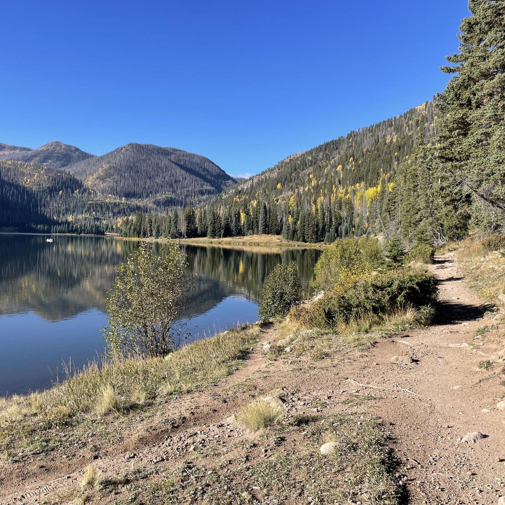
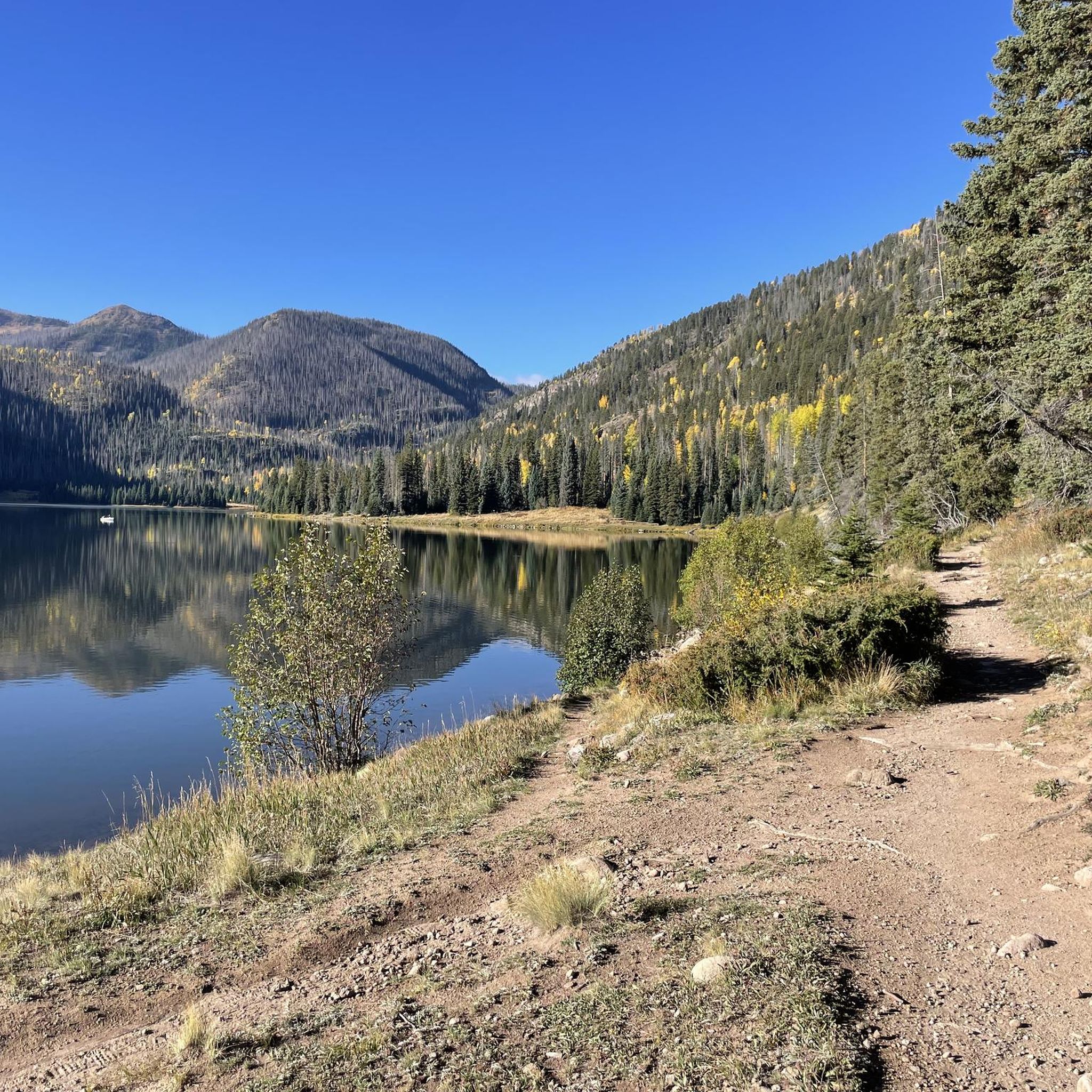
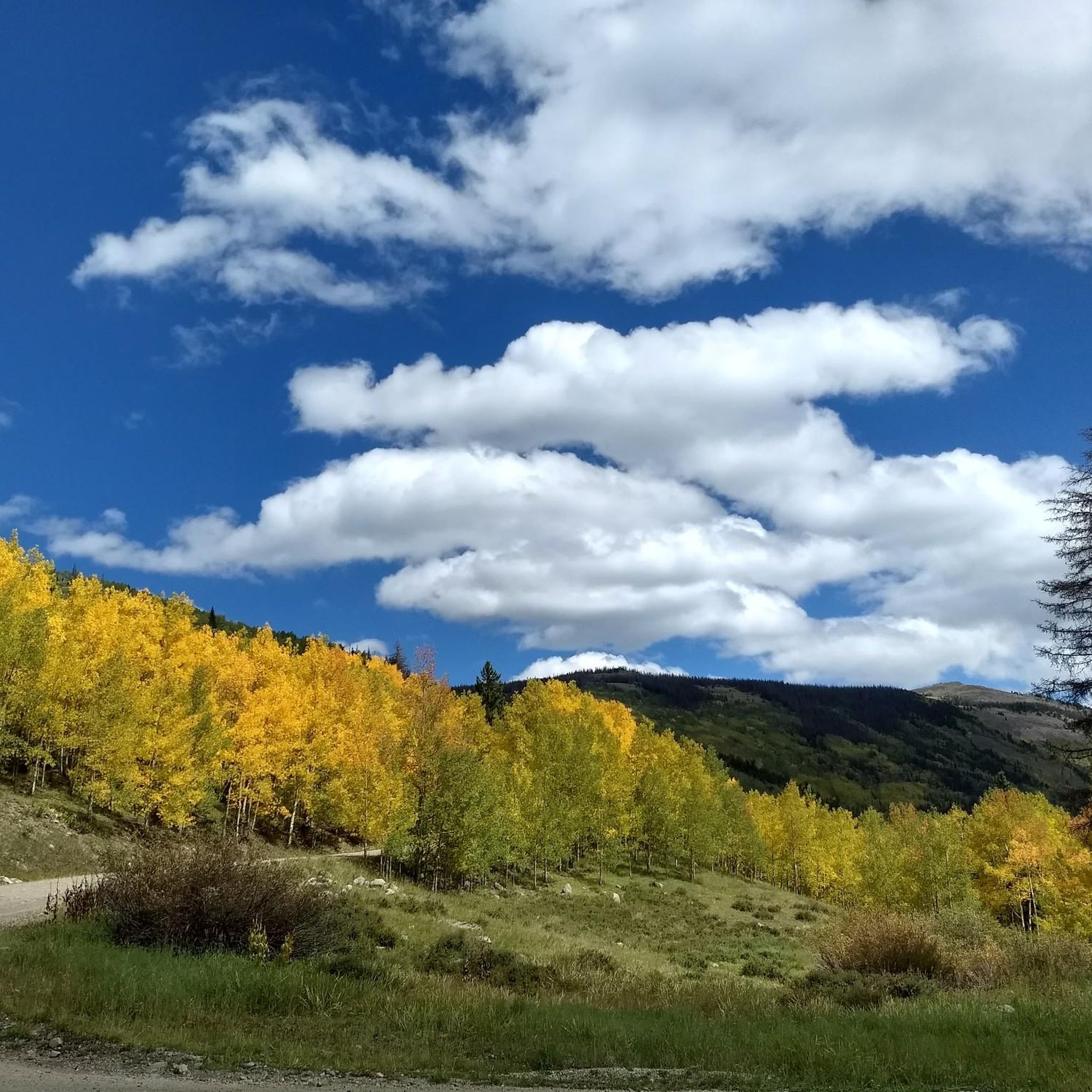
Other adventures in Rio Grande National Forest


Tips from the Community

At 13,271 feet you reach the official highest point of the Colorado Trail. Neither the ascent nor the descent are particularly steep, so you might think that you didn’t climb up that much. Nevertheless, enjoy the view and celebrate your achievement! If you like, you can hike up to the nearby summit to find a geological marker.
1
0
Spring Creek Pass is the access point for hikers of the Colorado Trail/Continental Divide Trail to get into Lake City - unique hiker town. The hitch might not be too easy, but it is worth the wait. The trailhead has plenty of parking and a pit toilet.
0
0

Here you will encounter a confluence of different singletrack trails and gravel roads. About a mile up the gravel road to the north is Carson, an old, well-preserved ghost town. Section 22 of the Colorado Trail runs east, and section 23 heads south. The Continental Divide Trail follows the same route as the CT.
0
0

There's actually a fence here, but it's parallel, the road goes across state-to-state.
1
0

A small sign on a wooden post marks the High Point of the Colorado Trail. This is an amazing place to pause and catch your breath (if you can at 13,271 feet!), take in the stunning panoramic views, and bask in your amazing accomplishment.
1
0
Miner's Creek Trailhead is at the end of Miner's Creek Road and give access to, you guessed it, Miner's Creek Trail. There are no facilities here so please plan accordingly. This is a great place to leave a car if completing riding from Spring Creek Pass across Snow Mesa and you do not want to do it as an out and back.
0
0
Jarosa Mesa Road (or the La Garita Stock Driveway), traverses Jarosa Mesa, a high, open plateau, below Buck Point and the Colorado/ Continental Divide National Scenic Trail. This stunning section of riding along the rough, unimproved road is frequently completed as part of the larger Jarosa Mesa Loop.
0
0

Slumgullion Pass sits at 11,530 feet in elevation and gets its name from an old miners' term "slum",which refers to the leftover mud and yellow soils in gold-dense areas. The pass is well-maintained and offers spectacular views.
1
0
Frequently Asked Questions
How many mountain bike trails are available in Rio Grande National Forest?
There are over 25 mountain bike trails documented in Rio Grande National Forest on komoot, offering a wide range of experiences from moderate to difficult.
Are there any easy or beginner-friendly mountain bike trails in Rio Grande National Forest?
While many trails in Rio Grande National Forest are challenging, there is at least one easy route available for beginners or those looking for a less strenuous ride. Most trails lean towards moderate or difficult, reflecting the high-alpine and rugged terrain of the region.
What are some challenging mountain bike trails for advanced riders in Rio Grande National Forest?
Advanced riders will find plenty of challenging options. Consider the Colorado Trail Segment 19 - 21 Detour (La Garita Wilderness Bypass), a difficult 49.8-mile path, or Colorado Trail Segment 22, a 33.7-mile trail with significant elevation changes. Another demanding option is Snow Mesa to Miner's Creek Trail, covering over 53 miles with substantial climbing.
Can I find loop mountain bike routes in Rio Grande National Forest?
Yes, loop routes are available for mountain biking. An example is the Red Lake Trail – Conejos Canyon Overlook loop from Conejos River, a difficult 50.7-mile route that offers a comprehensive experience of the area's terrain and views.
What is the best time of year to mountain bike in Rio Grande National Forest?
The best time for mountain biking in Rio Grande National Forest is typically from late spring through early fall (June to September), when trails are generally free of snow and weather conditions are most favorable. Given the high-alpine environment, always check local conditions before heading out, especially in early season or after significant rainfall.
Are there any specific attractions or landmarks I can see along the mountain bike trails?
Many trails offer access to stunning natural features. You might encounter the Natural Arch ⛰️, enjoy views from Maggie Gulch Overlook, or even pass near the Rio Grande Headwaters. The region also features several prominent peaks like Kit Carson Mountain and Ellingwood Point.
What are the typical trail conditions like for mountain biking in Rio Grande National Forest?
Trails in Rio Grande National Forest are known for significant elevation changes, often traversing high-alpine passes, dense coniferous forests, and river valleys. Riders can expect a mix of challenging climbs and technical descents through varied terrain. Conditions can change rapidly due to weather, so it's always advisable to check current local reports before your ride.
Are there any mountain bike trails suitable for families in Rio Grande National Forest?
While many trails are geared towards experienced riders, families looking for a less strenuous experience should seek out the easier-rated trails. These routes typically have less extreme elevation changes and technical sections, offering a more relaxed ride through the forest.
Is mountain biking in Rio Grande National Forest dog-friendly?
Rio Grande National Forest generally allows dogs on trails, but they must be kept on a leash and under control at all times to protect wildlife and ensure the safety of other trail users. Always practice Leave No Trace principles, including packing out all pet waste.
Are there any moderate mountain bike trails in the area?
Yes, there are several moderate mountain bike trails. A good option is the Jarosa Mesa Loop from Spring Creek Pass, which is a 18.2-mile route with manageable elevation gain, offering a balanced challenge for intermediate riders.
What do other mountain bikers say about the trails in Rio Grande National Forest?
The mountain bike trails in Rio Grande National Forest are highly rated by the komoot community, with an average score of 5.0 stars. Riders often praise the challenging high-alpine experiences, remote wilderness, and the diverse landscape of peaks, forests, and river valleys.
Most popular routes in Rio Grande National Forest
Most popular attractions in Rio Grande National Forest

Get inspired with the komoot mobile app


Explore more
Browse the best MTB trails in other regions.
