The best road cycling routes in Dixie National Forest
4.6
(14)
515
riders
33
rides
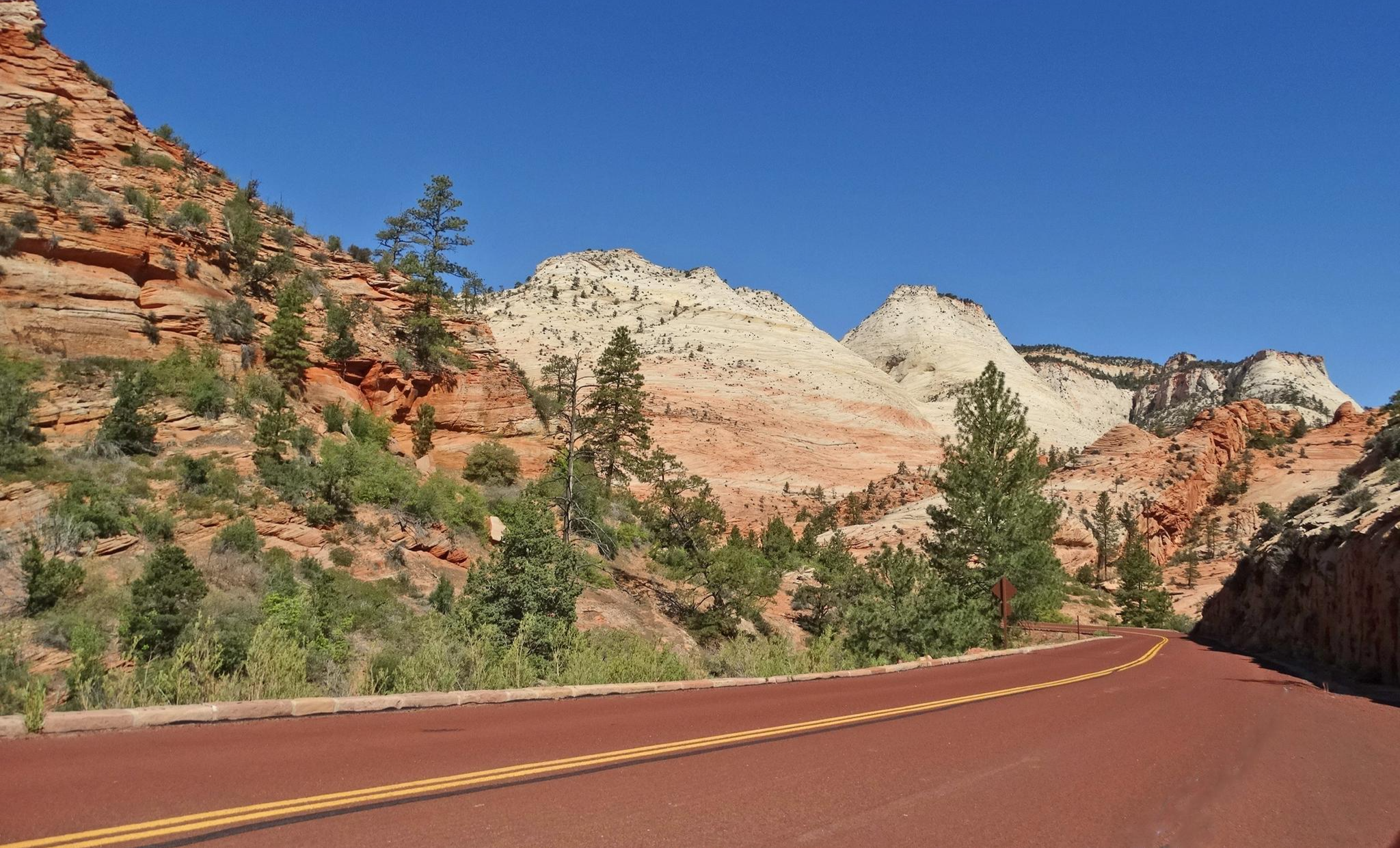
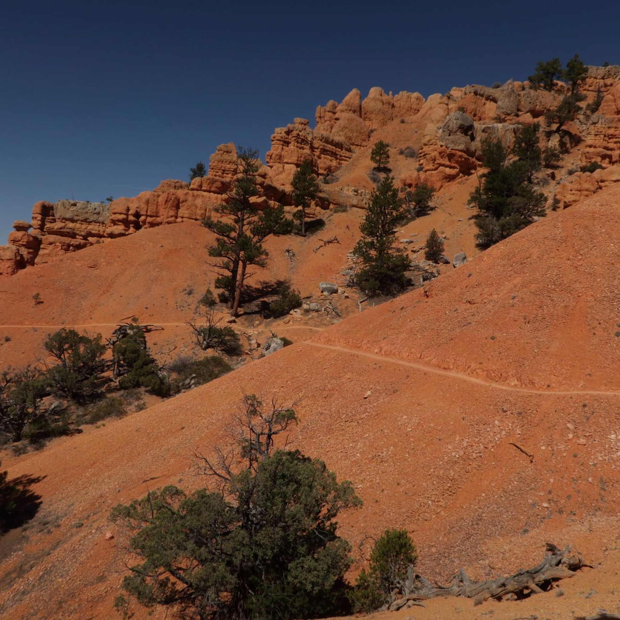
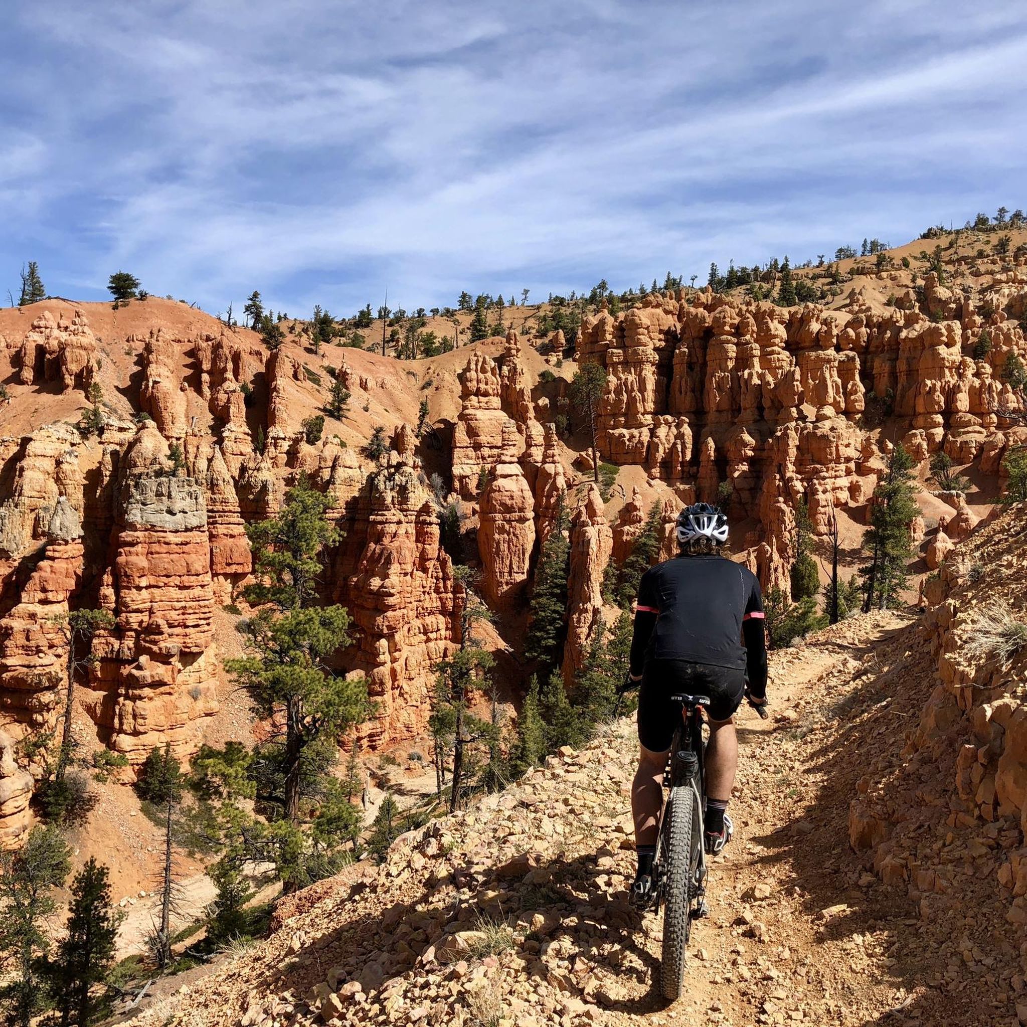
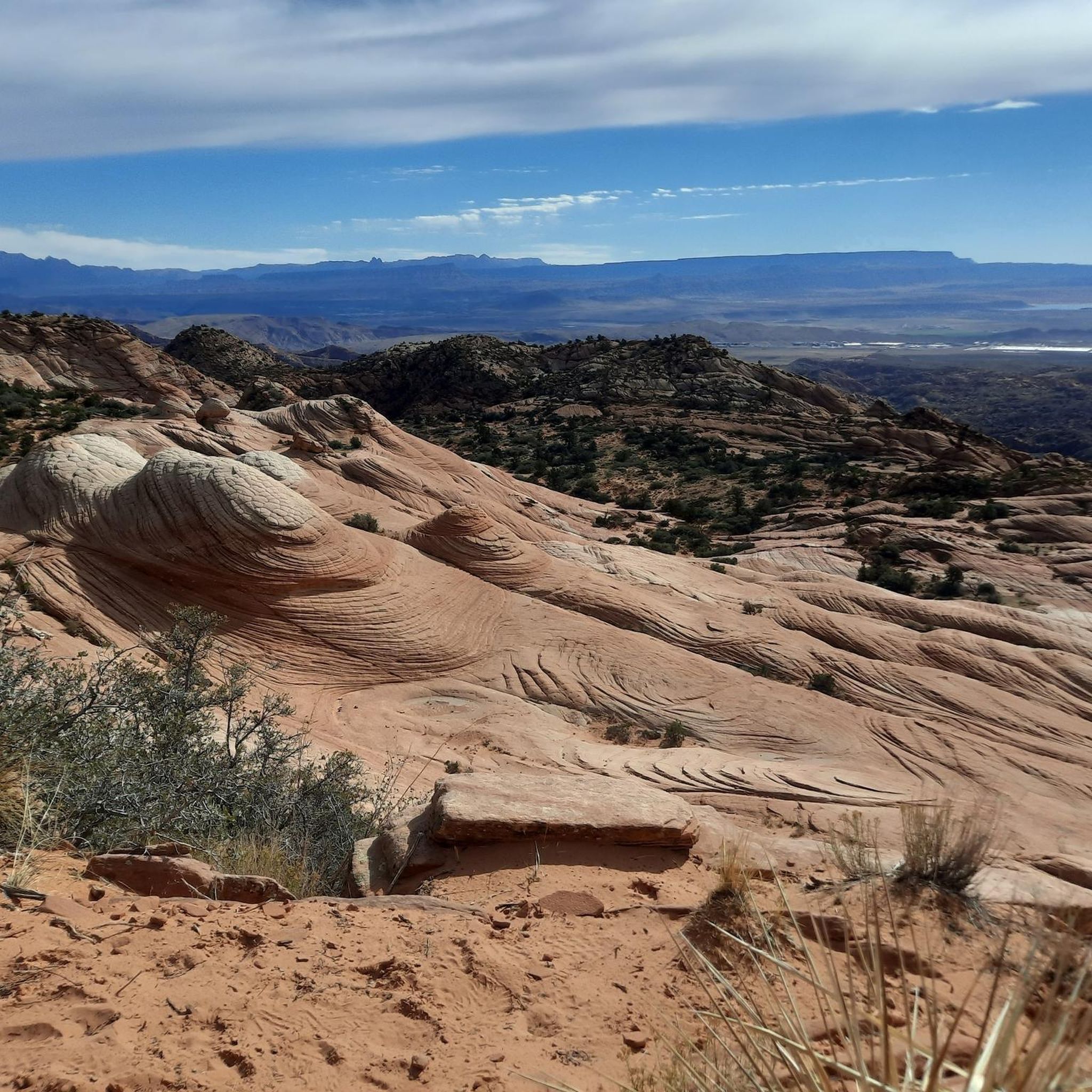
Road cycling in Dixie National Forest offers diverse terrain across its vast landscape. The region is characterized by its varied topography, including forested areas, canyons, and elevated overlooks. Road cycling routes often feature significant elevation changes, providing challenging climbs and scenic descents. The area encompasses a mix of natural features, from red rock formations to dense woodlands, making for varied cycling experiences.
Best road cycling routes in Dixie National Forest
- The most popular road cycling route is Red Canyon Tunnels…
Last updated: July 8, 2026
5.0
(6)
50
riders
57.1km
02:29
520m
520m
Moderate road ride. Good fitness required. Mostly well-paved surfaces and easy to ride.
5.0
(5)
39
riders
Moderate road ride. Good fitness required. Mostly well-paved surfaces and easy to ride.

Sign up for free
17
riders
Easy road ride. Great for any fitness level. Mostly well-paved surfaces and easy to ride.
17
riders
23.2km
01:09
280m
280m
Easy road ride. Great for any fitness level. Mostly well-paved surfaces and easy to ride.
7
riders
22.6km
01:04
250m
250m
Easy road ride. Great for any fitness level. Mostly well-paved surfaces and easy to ride.
Get access to more routes and recommendations from other explorers.
Sign up for free
Already have an account?
Our route recommendations are based on thousands of hikes, rides, and runs completed by other people on komoot.
Start today with a free account
Your next adventure awaits.
Login or Signup
Other adventures in Dixie National Forest

Tips from the Community

Lower Inspiration Point is a fantastic spot over Bryce Amphitheater, with views of the dense clusters of hoodoos known as the Silent City. The short, unpaved trail from the parking area leads to a fenced overlook with sweeping views to the north. It’s a quieter alternative to the park’s busier viewpoints and is especially stunning at sunrise or after dark under the starry sky.
0
0

The Bryce Canyon Multi-use Path is an 18-mile path that connects the hoodoos of Red Canyon with Inspiration Point. The trail is fully paved and popular with walkers, runners, and cyclists.
0
0

This multi-use path runs from Bryce Canyon City to Inspiration Point, offering an easy ride with amazing views of the park. The trail is family-friendly and a great way to explore away from the main roads.
0
0

We reach the spectacular Bryce Canyon. The bizarre rock formations ("hoodoos") are just as characteristic of Bryce Canyon as its forests. The combined forces of wind, water and ice have created a landscape of rock pillars in strange shapes and sizes. These rock formations are also called hoodoos. The hoodoos create a labyrinth of constantly changing shapes and colors from bright orange to pale pink or ochre. Here we take the opportunity to descend into the canyon. The change of perspective makes us really aware of the size of the individual rock formations. We see several chipmunks that are far too quick for my camera.
2
0
The magic of this landscape, which has always inspired people's imagination, is described in a legend of the Paiute Indians. According to it, a long time ago the Legend People lived in a wonderful city that Coyote had built for them. When the Legend People began to behave ungratefully and badly towards Coyote, he turned them into immovable rocks as punishment. And so today, on hikes through the valley, we encounter curious-looking stone figures at every turn.
3
0


The tunnel can be located on UT-12, but it remains visible from the trail. It's an impressive arch that was constructed to facilitate the construction of the road through this region.
2
0

In 1916, Reuben C. (Ruby) Syrett brought his family to the wilderness of southern Utah and started a farm near the present location of Ruby's Inn. A few weeks after his arrival, another farmer in the area told Ruby about the canyon called Bryce. Ruby and his family visited the edge of the canyon. They were so impressed by what they saw that they not only started telling people about the beauties of the canyon, but they also became hosts to the visitors. In 1919 they had received permission from the state to build a lodge, the "Tourist Rest", near the edge of the canyon. In 1923, when Bryce Canyon became a National Monument, Ruby moved his "Tourist Rest" to the site of his ranch and named it Ruby's Inn. The post office located in the inn and still serves the area year-round. Ruby's reputation grew as the National Monument became a National Park, and soon Ruby's Inn became a major business. What started with tents and a place to serve meals paved the way for the modern facilities that today serve tourists in Bryce Canyon and give all travelers a pleasant stay in the Bryce Canyon area. Enthusiasm and love for the Bryce area were passed on to Ruby's son Carl. Today, the same Western hospitality and friendly service is carried on by Carl's children and grandchildren, who still run the business.
0
0
Frequently Asked Questions
How many road cycling routes are available in Dixie National Forest?
Dixie National Forest offers a diverse network of over 35 road cycling routes, catering to various skill levels. You'll find options ranging from easy to difficult, ensuring there's a ride for everyone.
What kind of terrain can I expect on road cycling routes in Dixie National Forest?
The region is known for its varied topography, featuring forested areas, dramatic canyons, and elevated overlooks. Road cycling routes often include significant elevation changes, providing both challenging climbs and scenic descents through red rock formations and dense woodlands.
Are there easy road cycling routes suitable for beginners or families?
Yes, Dixie National Forest has 11 easy road cycling routes. An example is the East Bench Trail – East Bench Trail loop from Cedar City, which is 31.9 miles (51.5 km) long and offers a more gentle ride.
Where can I find challenging road cycling routes with significant elevation gain?
For experienced cyclists seeking a challenge, there are 3 difficult routes in the forest. The Long Canyon Overlook loop from Boulder is a difficult 34.1 miles (54.9 km) path featuring substantial elevation gain and leading to expansive views.
Are there any loop road cycling routes in Dixie National Forest?
Many of the road cycling routes in Dixie National Forest are designed as loops. For instance, the popular Red Canyon Tunnels - Gateway to Natural Wonders – Red Canyon Arch loop from Bryce Canyon City is a 32.7-mile (52.6 km) loop that showcases the distinctive Red Canyon Tunnels.
What are some notable viewpoints or landmarks along the road cycling routes?
Road cycling routes often pass by stunning natural features. You can experience the distinctive Red Canyon Tunnels and views of the Red Canyon Arch. Other routes offer vistas from places like Lower Inspiration Point. For broader scenic views, consider visiting Brian Head Peak or the Cascade Falls Overlook, which are nearby attractions.
What do other road cyclists say about their experience in Dixie National Forest?
The road cycling routes in Dixie National Forest are highly rated by the komoot community, with an average score of 5.0 stars from over 10 reviews. Cyclists often praise the varied terrain, from red rock formations to dense woodlands, and the mix of easy, moderate, and difficult options available.
Are there any lakes or water features near the road cycling routes?
Yes, Dixie National Forest is home to several beautiful lakes. While cycling, you might be near Pine Valley Reservoir, Navajo Lake, or Panguitch Lake, offering picturesque spots to enjoy the scenery.
What is the best time of year for road cycling in Dixie National Forest?
Given the varied topography, including elevated overlooks, conditions can change seasonally. Generally, late spring through early fall offers the most favorable weather for road cycling, with pleasant temperatures. Always check local weather forecasts before heading out, especially for higher elevations.
Can I find moderate difficulty road cycling routes in the area?
Absolutely. Dixie National Forest features 24 moderate road cycling routes. A popular choice is the Red Canyon Arch – Lower Inspiration Point loop from Black Mountain, a 35.5-mile (57.2 km) trail that takes you through red rock formations and offers stunning vistas.
Are there any gorges or canyons to explore near the road cycling paths?
The region is characterized by its canyons and gorges. While cycling, you'll encounter areas like Red Canyon. For further exploration, nearby attractions include trails such as Pink Ledges Trail and Crystal Springs Trail, which delve into these dramatic landscapes.
Most popular routes in Dixie National Forest
Most popular attractions in Dixie National Forest

Get inspired with the komoot mobile app


Explore more
Browse the best Road cycling routes in other regions.
