The best walks and hikes in Cibola National Forest
4.8
(125)
1,799
hikers
138
hikes
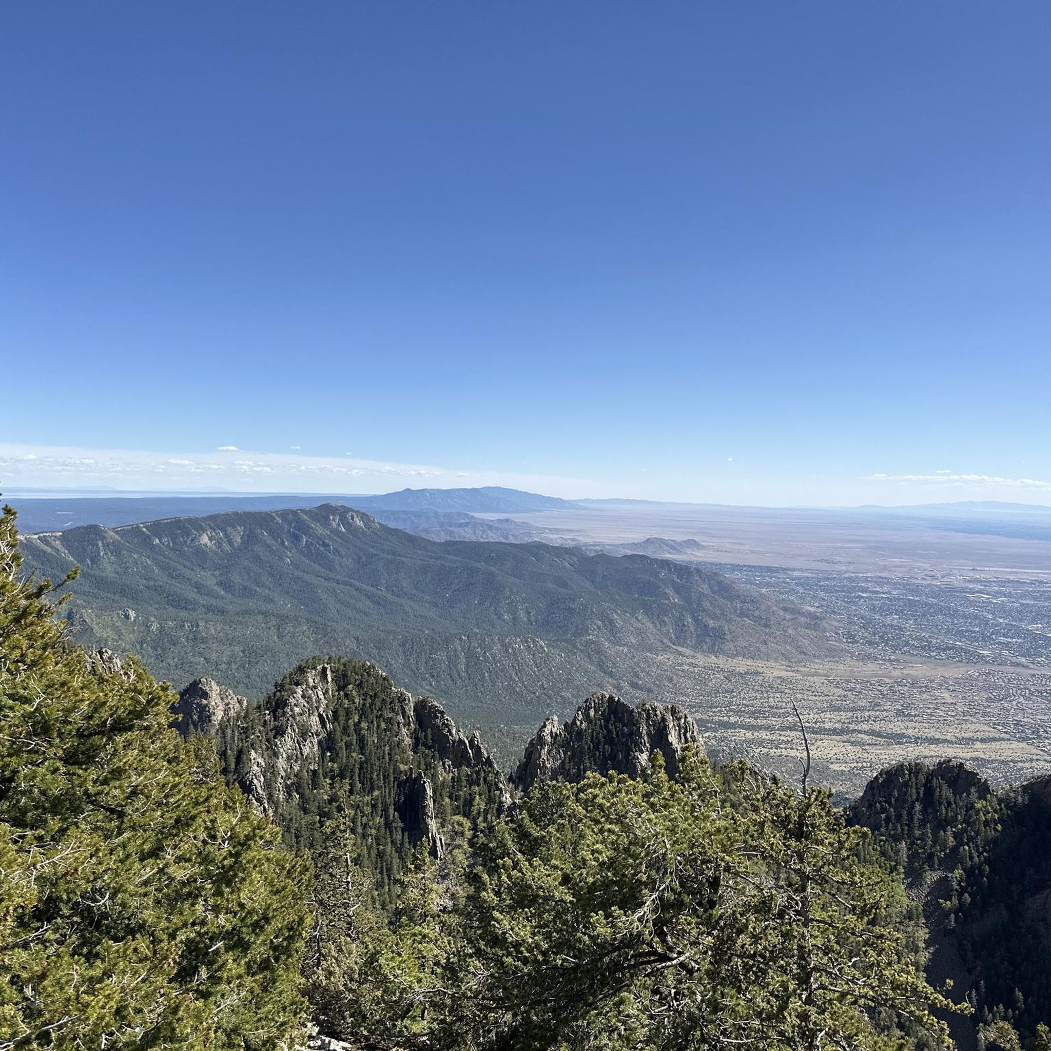
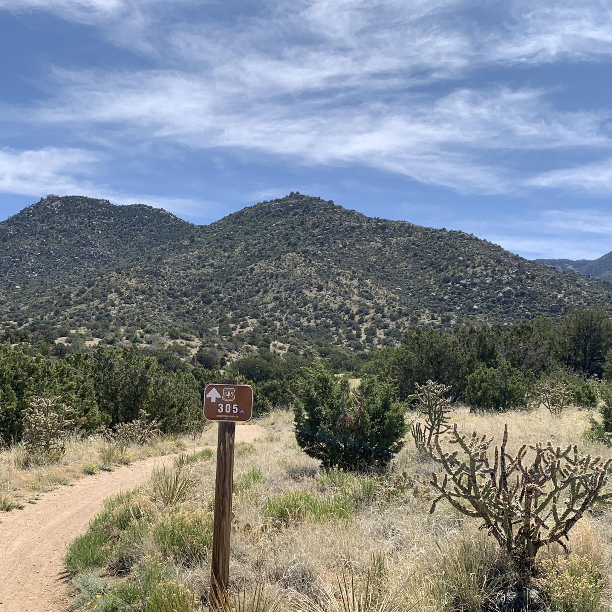
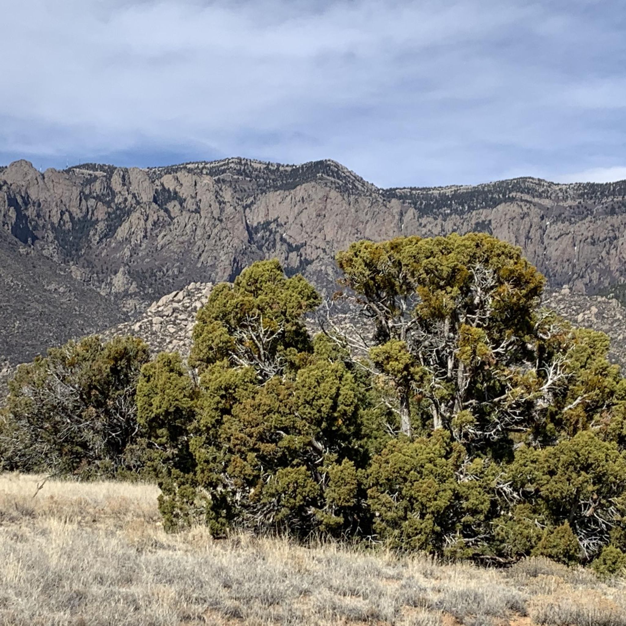
Hiking in Cibola National Forest explores a landscape of high-elevation mountain ranges, deep canyons, and forested slopes. The region's terrain varies significantly with elevation, from pinyon-juniper woodlands at lower levels to spruce and fir forests on the higher peaks. These "sky island" mountain ranges rise dramatically from the surrounding desert, creating diverse ecosystems. Elevations within the forest range from approximately 2,700 feet to over 11,300 feet at the summit of Mount Taylor.
Best hiking trails in Cibola National Forest
- The…
Last updated: October 11, 2026
4.7
(6)
86
hikers
12.7km
05:51
1,040m
60m
The La Luz Trail offers a remarkable journey through diverse ecosystems, starting in arid desert scrub and climbing into cool alpine forests of ponderosa pine and quaking aspen. As you…
4.5
(2)
21
hikers
8.78km
03:24
340m
340m
The South Crest and Faulty Trails Loop offers a dynamic journey through the Sandia Mountains, where the landscape dramatically shifts from high desert to lush alpine forest. You'll traverse rocky…

5.0
(1)
25
hikers
2.70km
00:58
80m
70m
The Carlito Springs Loop Trail offers a delightful contrast to the New Mexico desert, leading you through a surprisingly lush, verdant landscape. You'll wander past spring-fed historical water gardens and…
4.5
(2)
11
hikers
6.70km
02:26
190m
190m
You can enjoy a moderate hike on the North Sandia Peak via North Crest Trail, covering 4.2 miles (6.7 km). This route involves an elevation gain of 628 feet (191…
9
hikers
27.7km
11:33
1,220m
1,960m
Embark on a demanding journey up South Sandia Peak via Embudito Trail, a difficult hike spanning 17.2 miles (27.7 km). You will gain a significant 4013 feet (1223 metres) in…
Get access to more routes and recommendations from other explorers.
Already have an account?
Our route recommendations are based on thousands of hikes, rides, and runs completed by other people on komoot.
Start today with a free account
Your next adventure awaits.
Popular around Cibola National Forest

Grand Enchantment Trail — Slot canyons, spruce peaks & desert solitude

Historic Route 66 – curiosities, selfie spots and diners

Great Divide Mountain Bike Route — Cycling the spine of a continent

New Mexico Off-Road Runner
Running Trails in Cibola National Forest
Road Cycling Routes in Cibola National Forest
MTB Trails in Cibola National Forest
Cycling in Cibola National Forest

Gravel biking in Cibola National Forest
Other adventures in Cibola National Forest


Tips from the Community


Two small caves with a waterfall that is more or less visible depending on the season and that you can also climb.
0
0

Sandia Crest mountains are just south of the end of the Rocky mountains, and in the Sandia-Manzano Mountain range. Sandia Crest Peak reaches a height of 10,678 feet (3,255 m) above sea level. It is known to get windy up here, and it is much colder due to the elevation and exposure. Right here at the top, there is also the Sandia Crest House Gift Shop.
0
0

Cañon La Cueva Overlook captivates with its breathtaking vistas in New Mexico over the Sandia Mountain Wilderness. Perched high above rugged canyons, the overlook provides a mesmerizing glimpse into the diverse and awe-inspiring landscapes below.
0
0

Ponderosa Point is an awesome viewpoint that looks back down the valley and across the ridges of the range. The viewpoint is at the end of a short spur trail that branches off of the main trail at the intersection of La Luz Trail and Old La Luz Trail.
0
0

At an elevation of 10,678 feet, Sandia Crest is the highest in the Sandia Mountains. What sets this mountain range apart is there's no true summit; instead, it features a ridge line. During sunset, the vibrant colors in the sky explain why this area earned its name, which means "watermelon" in Spanish.
0
0
At an elevation of 10,446 feet, this peak marks the northernmost summit in the Sandia Mountain wilderness over 10,000 feet. The views from this vantage point are truly breathtaking, offering a panoramic vista of the Albuquerque area.
1
0
This seasonal waterfall is at its best during spring, when the water flows most abundantly; otherwise, you might catch just a trickle. Nevertheless, it's a splendid sight, and the fact that it's less frequented makes it a tranquil spot to enjoy.
0
0
Frequently Asked Questions
Are dogs allowed on trails in Cibola National Forest?
Yes, dogs are generally welcome on trails in Cibola National Forest, but they must be kept on a leash and under your control at all times. This is especially important as the forest is home to a variety of wildlife. Always pack out any waste to help keep the trails clean for everyone.
What are some good beginner-friendly hikes in the forest?
For a relatively easy and rewarding hike, consider the Sandia Peak loop. It's a moderate 3.1-mile (5 km) trail near the top of the mountain that offers fantastic views without a major climb. The high-elevation forest of spruce and fir provides a different environment than the trails at the base.
How do I get to the Sandia Mountains trails from Albuquerque?
The Sandia Mountains are the most accessible part of the forest from Albuquerque. You can drive up the eastern slope via the Sandia Crest National Scenic Byway (NM 536). Alternatively, for a unique experience, you can take the Sandia Peak Aerial Tramway from the city's eastern edge up to the crest, where several high-altitude trails begin.
Are there waterfalls in Cibola National Forest?
Permanent, large waterfalls are not a prominent feature of this high-desert mountain landscape. However, during the spring snowmelt or after the summer monsoon thunderstorms, you can find numerous small, seasonal cascades and flowing springs throughout the canyons. Trails that follow canyon bottoms are your best bet for seeing them.
What do other hikers think of the trails in Cibola National Forest?
The trails are highly regarded by the komoot community, with an average rating of 4.8 stars. Hikers often praise the stunning views from the 'sky island' mountain ranges, the diverse ecosystems from desert grasslands to high-alpine forests, and the well-maintained trail network.
Are there any good options for multi-day backpacking trips?
Yes, the forest offers excellent backpacking opportunities. The Manzano Mountains Wilderness has a well-developed trail system of over 64 miles perfect for creating loops. For a truly epic journey, sections of the Continental Divide National Scenic Trail pass through the Mt. Taylor region, offering spectacular long-distance hiking.
What is the best time of year for hiking to see fall colors?
Late September to early October is the prime time to see fall colors. The higher elevations, particularly in the Manzano Mountains, are known for their beautiful stands of aspen and large-tooth maples that turn brilliant shades of yellow and orange. The head of Tajique Canyon is a local favorite for autumn scenery.
How difficult is the La Luz Trail?
The La Luz Trail is a very challenging hike. It involves a significant elevation gain of over 3,500 feet (1,077 m) as it climbs the steep western face of the Sandia Mountains. It's a full-day commitment that requires a high level of fitness and preparation, but rewards hikers with incredible views.
Which trails offer the best views of Albuquerque?
For a classic city view, the Albuquerque Overlook via Pino Trail is an excellent choice. This difficult hike involves a steady climb up a canyon to a viewpoint that provides a sweeping panorama of the city and the Rio Grande Valley below.
What should I pack for a day hike in the Sandia Mountains?
Due to the dramatic elevation changes, it's crucial to pack for variable weather. Essentials include:
- Plenty of water: At least 3 liters per person, as the climate is dry.
- Sun protection: Sunscreen, a hat, and sunglasses are vital at high altitudes.
- Layers: A fleece or jacket is recommended, as temperatures at the crest can be 20-30°F cooler than in Albuquerque.
- Sturdy footwear: Trails can be rocky and steep.
- Snacks: For energy on longer climbs.
Where can I find a less crowded trail?
While the main Sandia Crest trails can be busy, you can often find more solitude on trails like the South Piedra Lisa Trail. It's still a challenging route, but it tends to be less frequented than the more famous trails, offering a peaceful experience through the rugged foothills and canyons.
How many hiking trails are in Cibola National Forest?
There are over 80 designated hiking trails in Cibola National Forest, covering approximately 800 miles of terrain. The komoot community has shared and documented nearly 90 distinct routes, ranging from easy 1-hour walks to strenuous all-day mountain treks.
Most popular routes in Cibola National Forest
Most popular attractions in Cibola National Forest

Get inspired with the komoot mobile app


Explore more
Browse the best Hikes in other regions.
