The best walks and hikes in Santa Fe National Forest
4.5
(157)
2,372
hikers
134
hikes
Hiking in Santa Fe National Forest offers diverse landscapes across varied elevations, from 5,000 to 13,000 feet. The region is characterized by the majestic Sangre de Cristo Mountains, featuring streams, rivers, and pristine glacial lakes. Hikers can explore dense ponderosa pine forests, aspen groves, and alpine terrain, with opportunities ranging from lower front country trails to higher alpine regions. This ecological diversity supports a variety of plant life and habitats, providing extensive trail systems for outdoor enthusiasts.
Best hiking trails in Santa Fe National Forest
- The most popular hiking route is Nambe Lake Trail, a 3.3 miles (5.3 km) trail that takes 2 hours 24 minutes to complete. This challenging route leads into the alpine beauty of the Sangre de Cristo Mountains, culminating in a pristine alpine lake.
- Another top favourite among local hikers is Lake Katherine via Winsor Trail, a moderate 7.1 miles (11.4 km) path. This trail offers high-elevation mountain scenery and panoramic views.
- Local hikers also love the Borrego (150), Windsor (254) and Bear Wallow (182) Trail Loop, a 3.7 miles (5.9 km) trail leading through dense ponderosa pine forests, often completed in about 1 hour 48 minutes.
- Hiking in Santa Fe National Forest is defined by the Sangre de Cristo Mountains, ponderosa pine forests, and alpine lakes. The network offers options for various ability levels, from easy loops to challenging multi-day trips.
- The routes in Santa Fe National Forest are highly rated by the komoot community with an average score of 4.4 stars from over 60 reviews. More than 800 hikers have used komoot to explore Santa Fe National Forest's varied terrain.
Last updated: July 8, 2026
5.0
(6)
74
hikers
5.91km
01:48
190m
240m
The Borrego (150), Windsor (254) and Bear Wallow (182) Trail Loop is an easy 3.7-mile (5.9 km) hike that takes you through the beautiful Santa Fe National Forest. You'll descend into shaded valleys, cross Tesuque Creek, and climb through lush forests of aspen, fir, and pine, often walking on soft pine needles. The varied terrain and picturesque aspen groves make for a constantly engaging experience, perfect for a 1 hour and 48 minute outing with 622 feet (190 metres) of elevation gain. It's a fantastic way to immerse yourself in the high-altitude forest environment.
This popular loop is easily accessed from Hyde Park Road near Santa Fe. Given the altitude, which ranges from 8,200 to 8,900 feet, staying hydrated is key, and you might find trekking poles helpful even on this easy route. The trail can get busy due to its accessibility and scenic beauty, so plan accordingly if you prefer a quieter experience. Dogs are welcome on the trail, making it a great option for a walk with your canine companion.
Historically, the Borrego Trail was used as a sheep drive trail, giving it a unique connection to the region's past. The Winsor Trail, part of this loop, is also recognized as a designated National Recreation Trail. Its higher elevation provides a welcome escape from the heat during warmer months, drawing both locals and visitors to its cool, forested paths. This loop offers a blend of natural beauty and historical context, making it a standout in the Santa Fe area.
26
hikers
10.9km
04:29
730m
740m
The Santa Fe Overlook and Lake Peak Loop is a high-altitude adventure that transitions dramatically from dense evergreen forests to wide-open alpine tundra. You'll traverse exposed ridgelines, offering incredible panoramic views of the Sangre de Cristos and the Rio Nambe Valley, with the highlight being the rocky scramble to Lake Peak itself. Keep an eye out for bighorn sheep in the higher, more exposed sections of this challenging route.
This difficult 6.8-mile (10.9 km) hike, with its 2408 feet (734 metres) of elevation gain, typically takes around 4 hours and 29 minutes. It's best tackled in late spring, summer, or early fall when snow has largely melted. The trail is conveniently accessed from the Santa Fe Ski Basin, but be aware that weather can change rapidly at these elevations, so pack accordingly.
What makes this loop truly stand out is the opportunity to summit multiple 12,000-foot peaks, including Deception Peak and Lake Peak, all while exploring the pristine Pecos Wilderness. It's a classic local outing for those seeking a strenuous trek with immense rewards, offering a diverse ecological experience from forest to high alpine environments.

Sign up for free
20
hikers
9.64km
04:02
730m
720m
The Santa Fe Ski Basin offers a rewarding high-altitude hike through the Sangre de Cristo Mountains, perfect for those seeking a true mountain experience. You'll trek through dense pine and aspen forests, navigating varied terrain with switchbacks and rocky sections, before emerging into vibrant alpine meadows. The route provides expansive views over Santa Fe and the surrounding peaks, with the chance to spot wildflowers in summer or golden aspens in the fall.
This moderate 6.0-mile (9.6 km) hike involves a substantial 2393 feet (729 metres) of elevation gain, typically requiring about 4 hours and 2 minutes to complete. Access is straightforward from the Ski Santa Fe parking lot, but it's wise to start early, especially on weekends, to secure a spot. Be mindful of the high-altitude environment; summer afternoons can bring sudden storms, so plan to be off exposed areas before then.
The Santa Fe Ski Basin is a key entry point to the high country, offering connections to more challenging excursions towards peaks like Santa Fe Baldy or glacial lakes such as Nambe Lake. Its diverse trails cater to various skill levels, making it one of the best hiking routes in the Santa Fe area for experiencing alpine flora and dramatic mountain scenery.
12
hikers
5.29km
02:24
440m
100m
Embark on the Nambe Lake Trail for a rewarding hike through the Santa Fe National Forest. This moderate route spans 3.3 miles (5.3 km) and climbs 1440 feet (439 metres), taking about 2 hours and 24 minutes to complete. As you ascend, you will pass through lush forests of aspen and pine, following Nambe Creek with its soothing sounds of cascading water and small waterfalls. The journey culminates at Nambe Lake, a pristine glacial tarn nestled beneath towering peaks like Lake Peak and Deception Peak, offering a true high-alpine experience.
When planning your visit, be aware that weather can change rapidly in the mountains, so always carry extra layers and plenty of water. Even in early summer, you might encounter patches of snow near Nambe Lake. The best time to hike this trail is typically from late spring through early autumn, when conditions are most favorable. Always check local conditions before you head out to ensure a safe and enjoyable trip.
This trail provides a fantastic opportunity to immerse yourself in a diverse mountain ecosystem, transitioning from dense forest to an exposed alpine environment. The presence of Nambe Lake, a high-altitude glacial tarn, makes this route particularly special within the Santa Fe National Forest. It offers a glimpse into the rugged beauty of the Sangre de Cristo Mountains, making it a notable destination for those seeking a challenging yet accessible high-altitude adventure.
12
hikers
11.4km
04:29
630m
170m
Embark on a moderate hiking adventure to Lake Katherine via Winsor Trail, covering 7.1 miles (11.4 km) with a significant elevation gain of 2066 feet (630 metres). This route typically takes around 4 hours and 28 minutes to complete. You will wind through beautiful pine and aspen groves, experiencing steady climbs and switchbacks, especially at the start, as you make your way towards the pristine alpine lake.
This popular trail is well-marked and easily accessible, making it a favorite among hikers, particularly on weekends. Parking is conveniently available at the Winsor Trail trailhead. You can enjoy this trail year-round, as it offers different experiences depending on the season, even with significant snowpack.
The trail culminates at Lake Katherine, a stunning alpine lake nestled at 11,742 feet at the base of Santa Fe Baldy. As you hike, you will be treated to expansive views of the surrounding mountains from the meadows along the route, including Santa Fe Baldy itself. This journey offers a rewarding experience through the scenic Pecos Wilderness in New Mexico.
Get access to more routes and recommendations from other explorers.
Sign up for free
Already have an account?
Our route recommendations are based on thousands of hikes, rides, and runs completed by other people on komoot.
Start today with a free account
Your next adventure awaits.
Login or Signup
Popular around Santa Fe National Forest
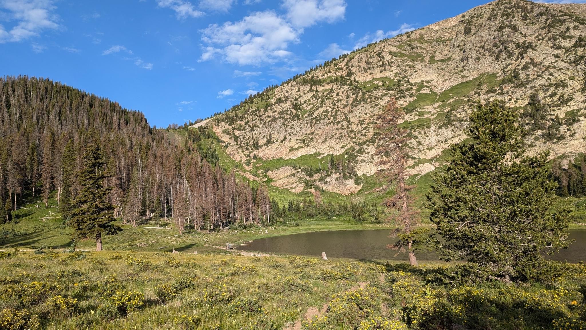
Santa Fe to Taos Thru-Hike — A journey across the Sangre de Cristo Mountains

Bikepack in America's southwest – deserts, cacti and Anasazi culture

New Mexico Off-Road Runner
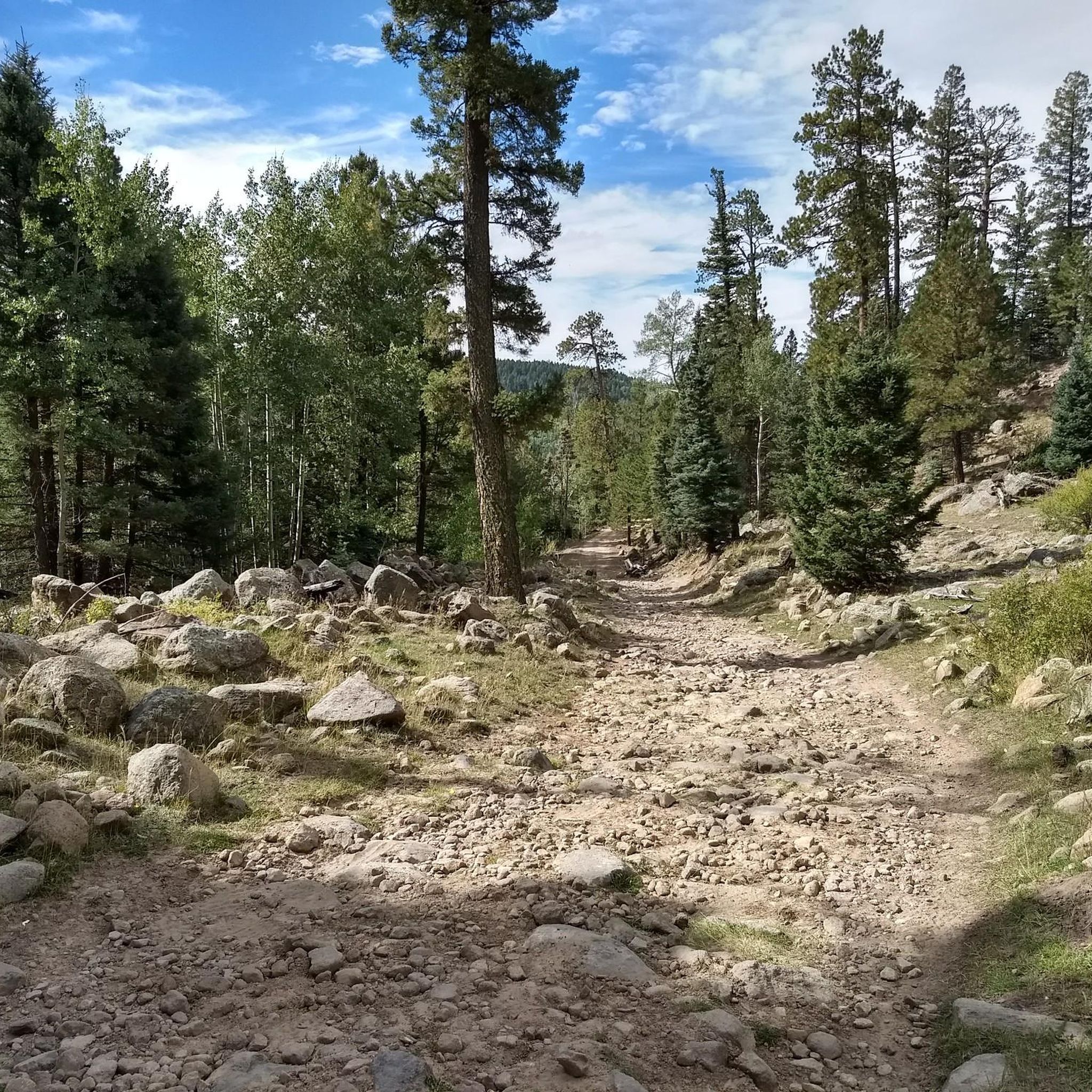
MTB Trails in Santa Fe National Forest
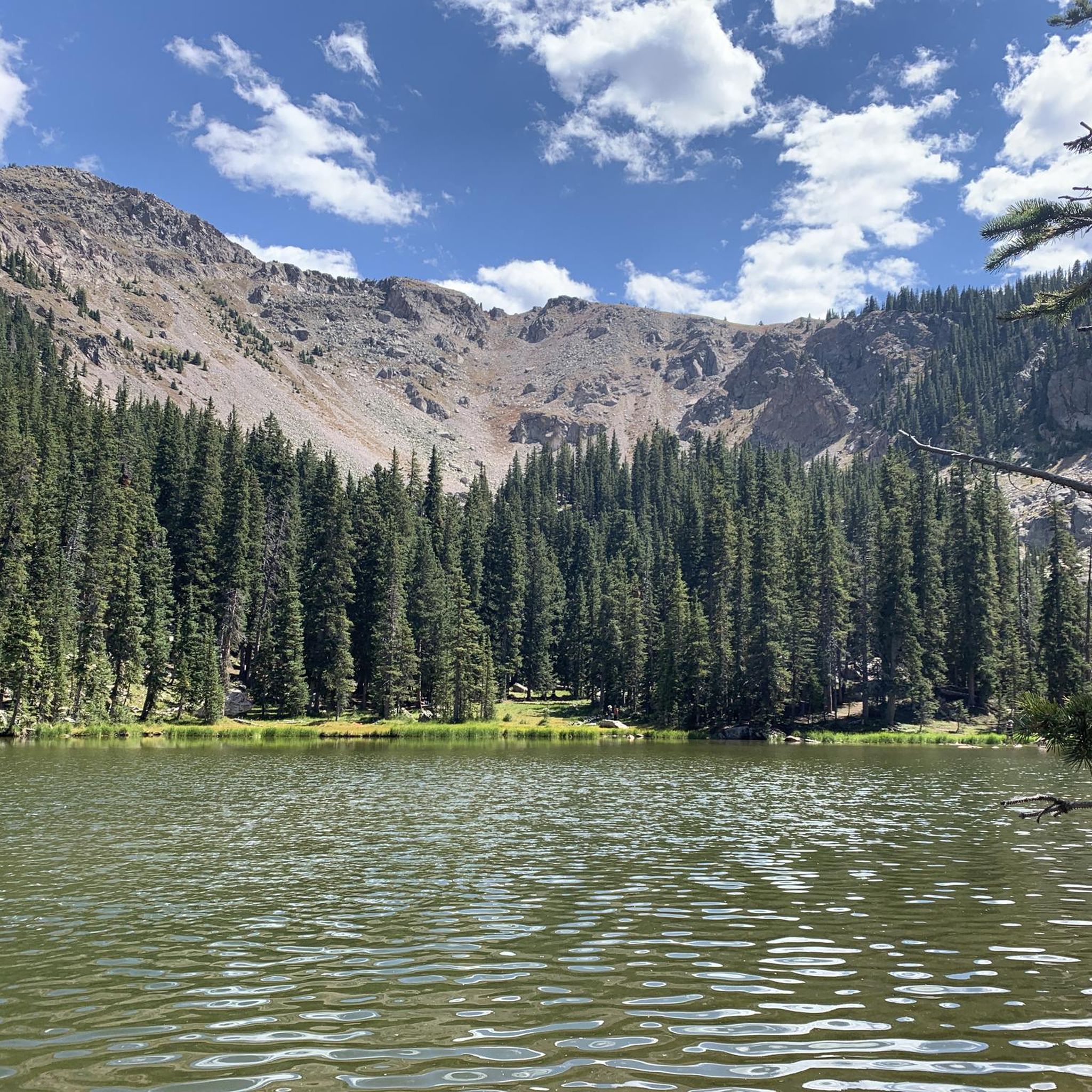
Running Trails in Santa Fe National Forest
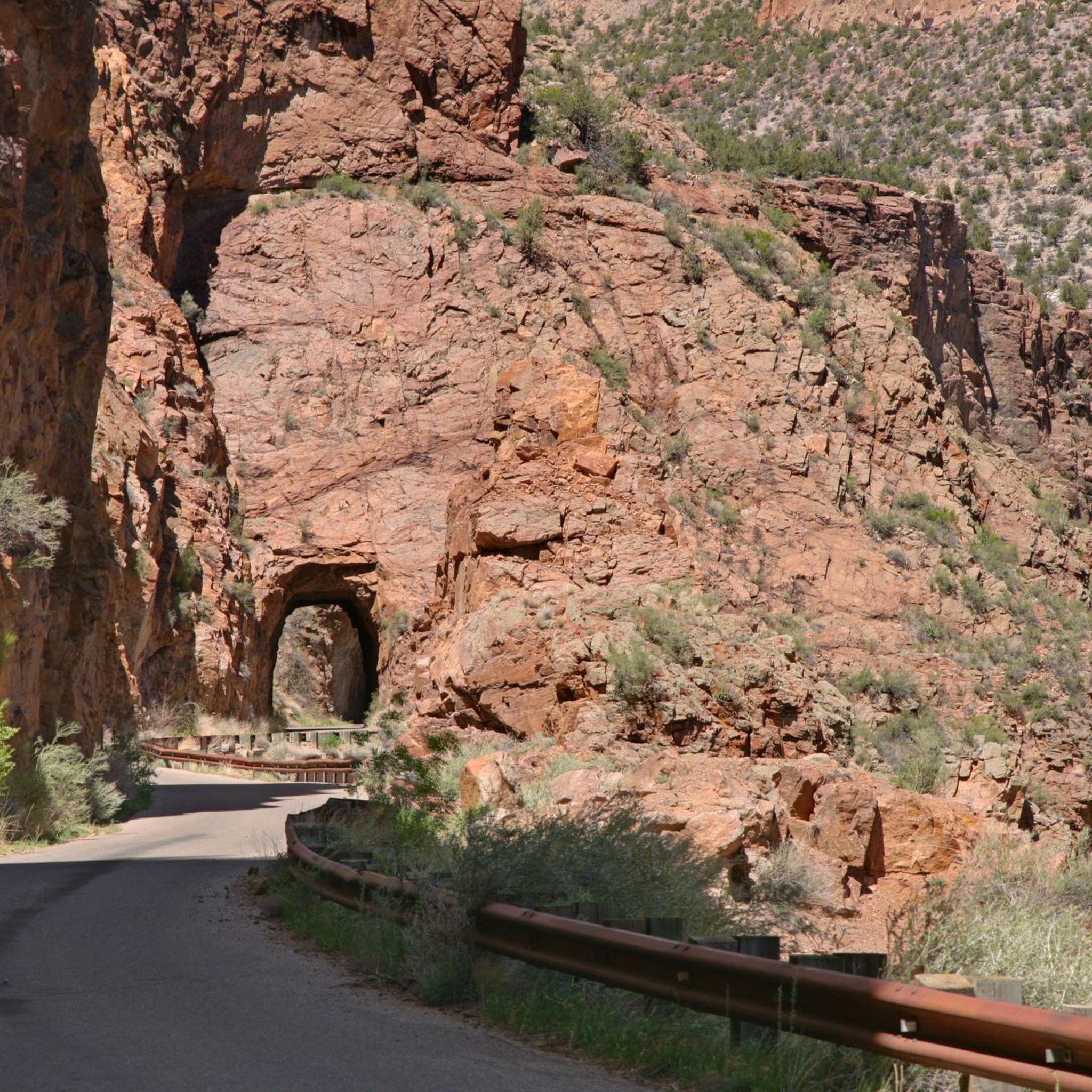
Cycling in Santa Fe National Forest
Road Cycling Routes in Santa Fe National Forest

Gravel biking in Santa Fe National Forest
Other adventures in Santa Fe National Forest


Tips from the Community

Located at the upper Winsor Trail trailhead, Aspen Basin is both a scenic access point to the Pecos Wilderness and home to the Aspen Basin Campground, a reservation-only site. The area includes parking, restrooms, and picnic tables shaded by its namesake aspen groves. Just 0.3 miles up the road, Ski Santa Fe offers two on-site restaurants—perfect for refueling before or after your hike.
0
0

At 12,360 ft, Deception Peak is a close neighbor to Lake Peak and offers sweeping views of the Pecos Wilderness area.
0
0
This is a beautiful spot to pause and enjoy the view along the ridgeline of the Raven's Ridge trail.
0
0

Winsor Trail is the main access trail to get to Nambe Lake. Due to its nicely shaded run, it is a great hike even during the heat of the summer.
2
0
Located in the heart of the Santa Fe National Forest, Nambe Lake is a popular destination for a hike into the backcountry – and for good reason! The alpine landscape is a true gem and a great change from the desert scenery of New Mexico.
4
0
Frequently Asked Questions
How many hiking trails are available in Santa Fe National Forest?
Santa Fe National Forest offers a vast network of trails for hikers of all levels. There are over 90 hiking routes recorded on komoot, ranging from easy strolls to challenging multi-day treks.
What kind of landscapes can I expect to see while hiking in Santa Fe National Forest?
You'll encounter diverse landscapes, from dense ponderosa pine forests and expansive grassy meadows dotted with aspens to the majestic alpine scenery of the Sangre de Cristo Mountains. The forest also features streams, rivers, and pristine glacial lakes, offering a rich variety of natural beauty.
Are there easy hiking trails suitable for families or beginners?
Yes, Santa Fe National Forest has many accessible options. Approximately 31 easy routes are available. A popular choice for a shorter, less strenuous hike is the Chamisa Trail loop, which takes about 1 hour 19 minutes to complete and leads through beautiful ponderosa pine forests.
Are there challenging trails for experienced hikers seeking a strenuous adventure?
Absolutely. For experienced hikers, there are 20 difficult routes available. The Nambe Lake Trail is a challenging 6.4-mile route that leads into the alpine beauty of the Sangre de Cristo Mountains, culminating in a pristine alpine lake. Another demanding option is the Windsor Trail to Santa Fe Baldy, offering high-elevation mountain scenery and panoramic views.
What is the best time of year to hike in Santa Fe National Forest?
The forest offers year-round access due to its varied elevations. Warmer months bring vibrant wildflowers and pleasant conditions for higher-elevation trails. However, lower front-country trails can be enjoyed even in cooler seasons. Always check local conditions, especially for snow and ice at higher altitudes during winter.
Can I bring my dog on the hiking trails in Santa Fe National Forest?
Many trails within Santa Fe National Forest are dog-friendly, but regulations can vary by specific area or wilderness designation. It's always best to check the specific trail rules before you go. Generally, dogs should be kept on a leash to protect wildlife and ensure a pleasant experience for all hikers.
Are there any trails that feature waterfalls or lakes?
Yes, the forest is home to beautiful water features. The Jemez Falls Overlook via East Fork Trail leads to a stunning waterfall. For lakes, the challenging Nambe Lake is a popular destination, and Fenton Lake State Park also offers scenic lakeside hiking opportunities.
What kind of wildlife can I expect to see while hiking?
Santa Fe National Forest is rich in wildlife. Hikers often spot deer, elk, and various smaller animals and songbirds. If you're lucky, you might even catch a glimpse of black bears or bighorn sheep, especially in more remote areas. The diverse ecosystems support a wide array of species.
Are there any historic trails or significant landmarks to explore?
The forest is steeped in history, with portions of the Santa Fe Trail, Old Spanish Trail, and El Camino Real de Tierra Adentro National Historic Trail traversing the area. For natural landmarks, you can hike to Picacho Peak for spectacular views, or visit the relaxing Spence Hot Springs or San Antonio Hot Springs.
What do other hikers enjoy most about Santa Fe National Forest?
The area is highly rated by the komoot community, with an average score of 4.6 stars from over 50 reviews. Hikers frequently praise the diverse terrain, from dense forests to alpine lakes, and the variety of trails suitable for all skill levels. Many appreciate the stunning views and the sense of wilderness close to Santa Fe.
Are there any trails that offer panoramic scenic viewpoints?
Yes, many trails provide breathtaking vistas. The Windsor Trail to Santa Fe Baldy is renowned for its high-elevation mountain scenery and panoramic views. Additionally, the North Bench Overlook is a great spot to take in the expansive landscape.
Are there any loop trails available for hiking?
Yes, loop trails are a great way to experience varied scenery without retracing your steps. The Chamisa Trail loop is a popular easy option, offering a pleasant walk through ponderosa pine forests.
Is there public transport access to trailheads in Santa Fe National Forest?
While some areas might have limited public transport options, most trailheads in Santa Fe National Forest are best accessed by car. It's advisable to plan your transportation in advance, as public transport to more remote trailheads is generally not available. Parking is typically available at designated trailheads.
Most popular routes in Santa Fe National Forest
Most popular attractions in Santa Fe National Forest

Get inspired with the komoot mobile app


Explore more
Browse the best Hikes in other regions.
