The best running trails in Tahoe National Forest
5.0
(8)
1,419
runners
156
runs
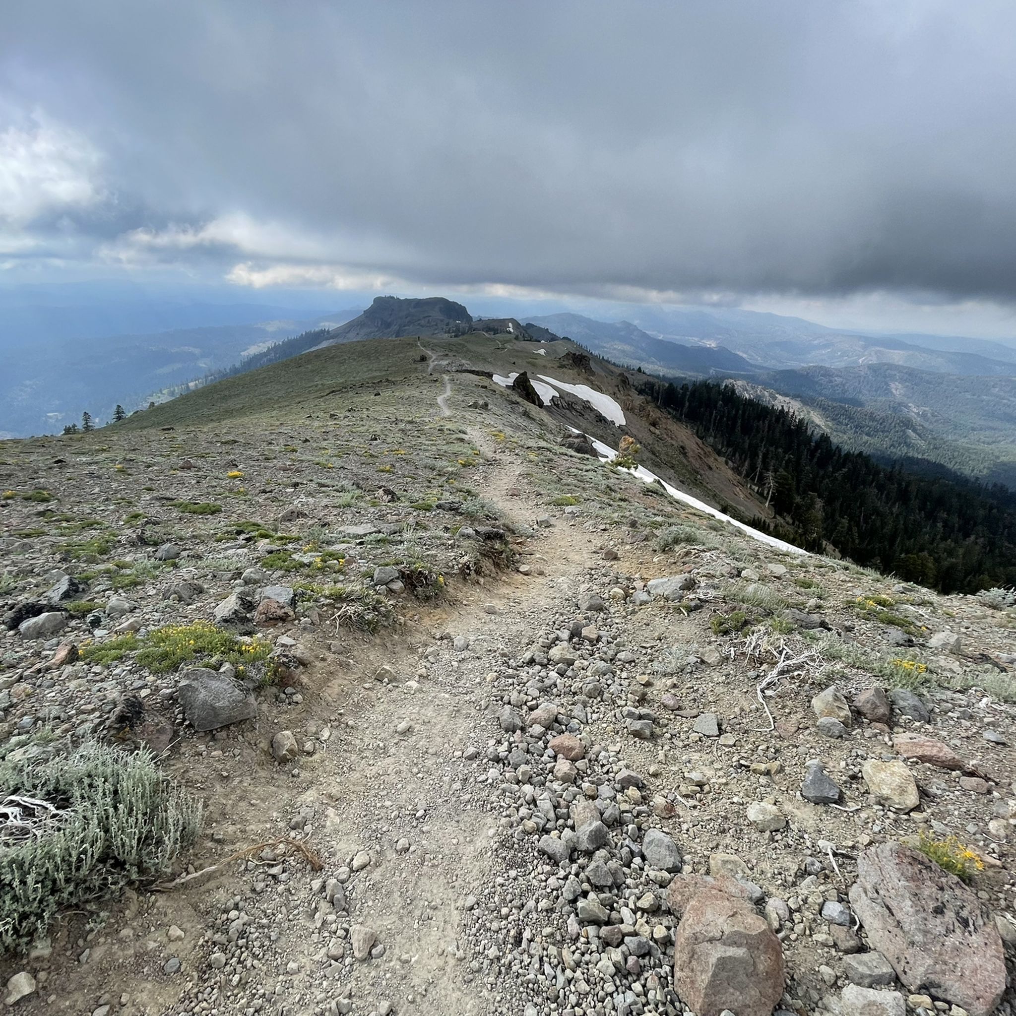
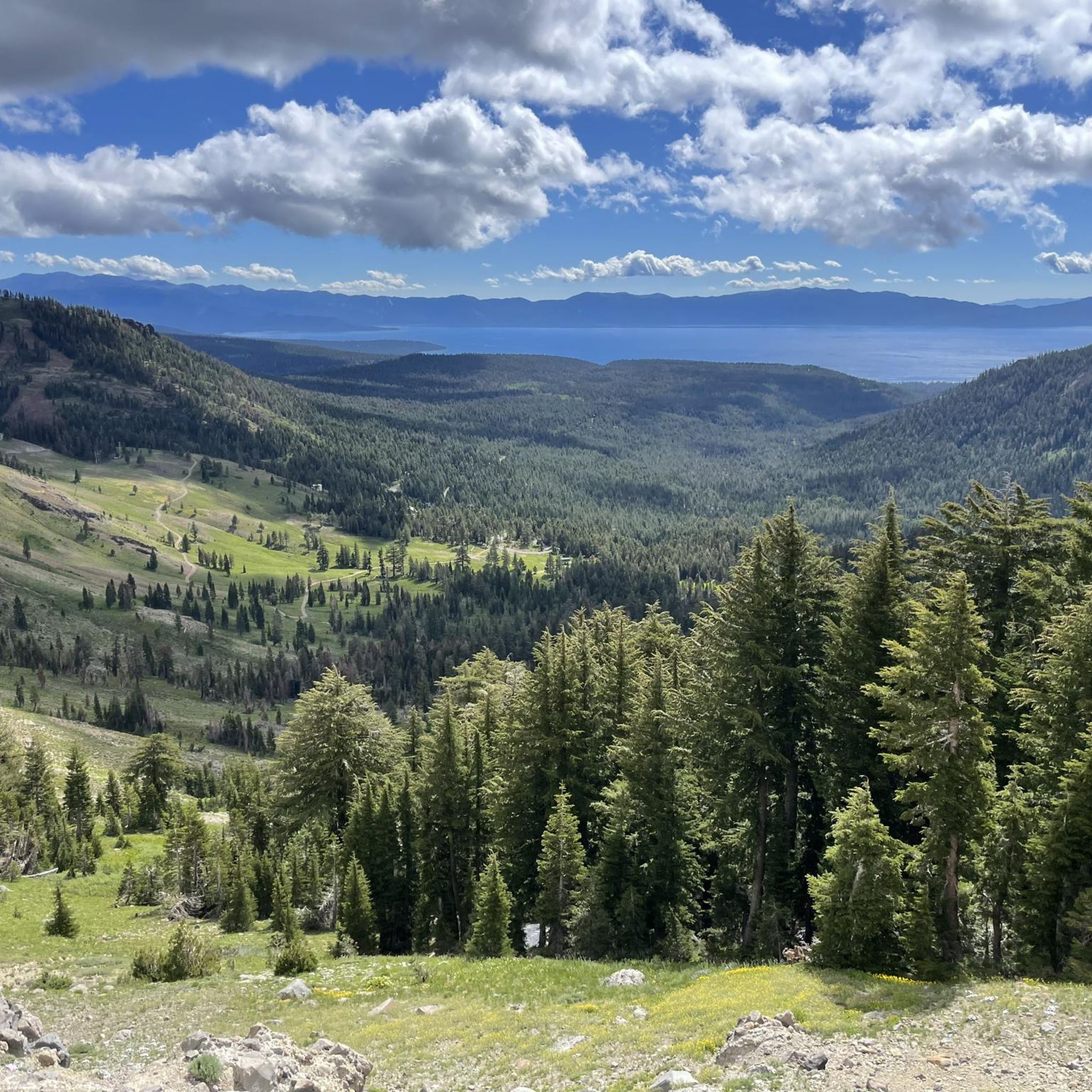
Jogging in Tahoe National Forest offers diverse landscapes across approximately 871,495 acres in California's Sierra Nevada mountains. The region features elevations from 1,500 feet to over 9,000 feet, encompassing high-desert sage, dense pine forests, and glaciated peaks. Numerous lakes, including Boca Reservoir and Donner Lake, along with deep river canyons, provide varied terrain for running.
Best jogging routes in Tahoe National Forest
- The most popular jogging route is Donner Lake loop, a 6.8 miles (10.9 km) trail that takes…
Last updated: July 7, 2026
63
runners
10.9km
01:09
80m
80m
Embark on the Donner Lake loop for a moderate jogging experience that takes you around 6.8 miles (10.9 km) of scenic terrain. You will gain 259 feet (79 metres) in…
29
runners
6.84km
00:48
40m
40m
The Martis Valley Loop via Tompkins Memorial Trail offers a moderate jogging experience, covering 4.2 miles (6.8 km) with a gentle elevation gain of 147 feet (45 metres). You can…

Sign up for free
20
runners
7.71km
01:06
320m
320m
Prepare for a challenging jogging experience on the Five Lakes Trail, a difficult route spanning 4.8 miles (7.7 km). You will climb 1052 feet (321 metres) in elevation, a journey…
19
runners
13.3km
02:00
700m
700m
Prepare for a challenging jogging experience on the Western States Trail Loop, a difficult 8.3-mile (13.3 km) route that will take you through varied terrain in the Tahoe National Forest.…
16
runners
6.74km
00:44
80m
80m
Embark on a moderate jogging experience along the Olympic Valley Bike Trail, a 4.2 miles (6.7 km) route that offers a refreshing journey through diverse scenery. You will gain 256…
Get access to more routes and recommendations from other explorers.
Sign up for free
Already have an account?
Our route recommendations are based on thousands of hikes, rides, and runs completed by other people on komoot.
Start today with a free account
Your next adventure awaits.
Login or Signup
Popular around Tahoe National Forest

American Discovery Trail — Walking from sea to shining sea

Pacific Crest Trail from Mexico to Canada – 4,200 kilometres of wilderness

Tahoe Rim Trail — Hiking along the Jewel of the Sierra

Circumnavigating Lake Tahoe in the Sierra Nevada – Tahoe Rim Trail
Hiking in Tahoe National Forest
MTB Trails in Tahoe National Forest
Cycling in Tahoe National Forest
Road Cycling Routes in Tahoe National Forest
Gravel biking in Tahoe National Forest
Other adventures in Tahoe National Forest


Tips from the Community

China Cove is a sandy cove on the southern shore of Donner Lake, perfect for a quick break during your ride. It’s quieter than the main beach, with calm water and nice views. There’s limited parking, but if you’re on two wheels, it’s easy to pull over and soak in the stillness before heading back on the road.
0
0

Enter the Granite Chief Wilderness and enjoy a series of alpine lakes sitting at 7,600 feet above sea level.
0
0
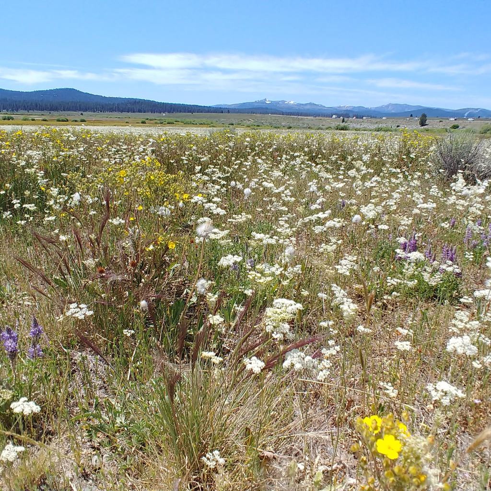
The Five Lakes Trail brings runners and hikers to Five Lakes. There and back, it is about 5 miles long and goes through wildflower fields (when in bloom), meadows, forests, and more. Part way up the trail, you enter the Granite Chief Wilderness.
0
0
The West Shore of Donner Lake is a public beach and park with a 12-acre day-use beach and American Red Cross-certified lifeguards. They are on the go during the summer, watching swimmers, kayakers, and stand-up paddle boarders. This is a concession stand open seven days a week during the summer.
0
0
China Cove is a sandy cove on Donner Lake. This is a quieter and more relaxed one on the southern part of the lake. There is limited parking in the area.
0
0
China Cove is a sandy cove on Donner Lake. This is a quieter and more relaxed one in the southern part of the lake. There is limited parking in the area. Stopping here on a run is a great way to enjoy the tranquility of the cove.
0
0
The West Shore of Donner Lake is a public beach and park with a 12-acre day-use beach and American Red Cross-certified lifeguards. They are on the go during the summer, watching swimmers, kayakers, and stand-up paddle boarders. There is a concession stand open seven days a week during the summer.
0
0
Donner Lake, situated at an elevation of 5,936 feet and with a depth of 328 feet, is fed by Summit Creek and Gregory Creek and drained by Donner Creek. The lake got its name from the ill-fated Donner Party, a group of pioneers who found themselves stranded in the harsh winter of 1846. Donner Lake today has 30 public docks, a State Park, 4 beaches, and lots of amenities.
0
0
Frequently Asked Questions
How many running routes are available in Tahoe National Forest?
Tahoe National Forest offers a vast network of trails, with over 120 running routes available on komoot. These routes cater to all skill levels, from gentle paths to challenging ascents, ensuring a diverse experience for every runner.
What kind of terrain can I expect when running in Tahoe National Forest?
The terrain in Tahoe National Forest is incredibly diverse, ranging from high-desert sage and juniper on the eastern side to dense pine forests and verdant orchards in the west. You'll encounter elevations from 1,500 feet to over 9,000 feet, with glaciated peaks, deep river canyons, and hundreds of lakes and reservoirs. This variety means you can experience everything from arid, open expanses to lush alpine environments.
Are there easy running routes suitable for beginners or a leisurely jog?
Yes, Tahoe National Forest has several easy running routes. For example, the Martis Valley Loop via Tompkins Memorial Trail is a moderate 4.3-mile path that leads through picturesque meadows, ideal for a leisurely run. Overall, komoot lists 12 easy routes in the area.
What do other runners enjoy most about the trails in Tahoe National Forest?
The running routes in Tahoe National Forest are highly rated by the komoot community, with an average score of 5.0 stars from more than 5 reviews. Runners often praise the stunning natural beauty, the diverse ecosystems, and the extensive trail networks that offer options for all ability levels.
Are there challenging routes for experienced runners looking for a demanding workout?
Absolutely. For experienced runners seeking a challenge, Tahoe National Forest offers 48 difficult routes. The Five Lakes Trail, for instance, is a 4.8-mile route leading through alpine terrain with significant elevation changes. Another option is the Mount Judah and Mount Lincoln Loop, which is a longer and more strenuous option with nearly 500 meters of elevation gain.
What natural attractions or viewpoints can I see along the running routes?
Many running routes offer breathtaking scenery and pass by notable natural features. You can find routes that lead to beautiful lakes like Flora Lake or Loch Leven Lakes. There are also stunning viewpoints such as Donner Lake Vista and Roller Pass Overlook, offering panoramic views of the Sierra Nevada mountains.
Are there any loop running trails in Tahoe National Forest?
Yes, loop trails are a popular option for runners in Tahoe National Forest. A great example is the Donner Lake loop, a 6.8-mile route that offers scenic views around the lake. Another excellent choice is the Crow's Nest and Mount Disney loop, providing a challenging yet rewarding experience.
What is the best time of year for running in Tahoe National Forest?
The best time for running in Tahoe National Forest is generally during spring, summer, and fall. During these seasons, trails are open and accessible, allowing you to enjoy the vibrant meadows, dense forests, and cooler temperatures near water features. While some activities are year-round, certain higher elevation trails may be snow-covered in winter.
Are there any specific trails that are particularly scenic or offer unique views?
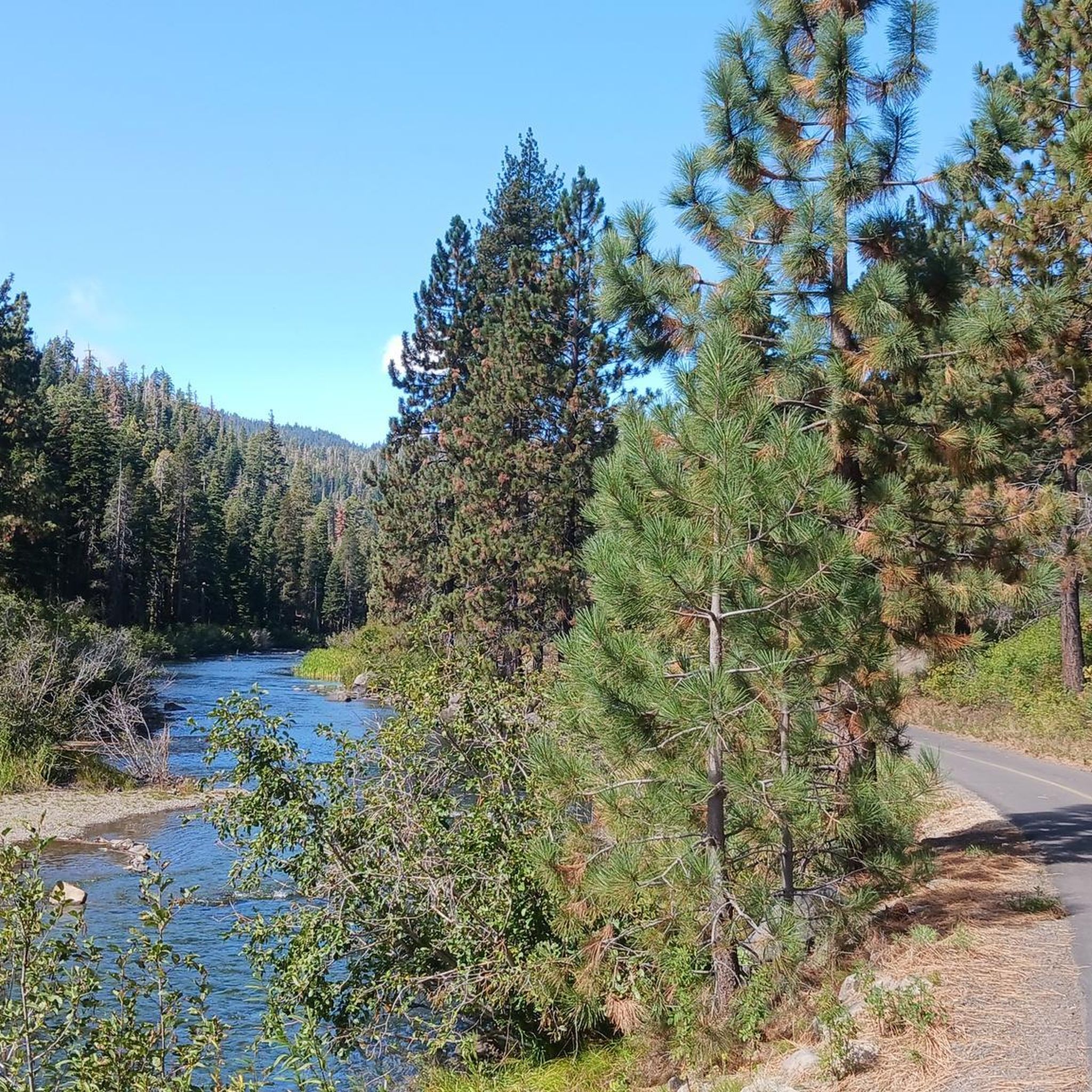
Many trails in Tahoe National Forest are renowned for their scenic beauty. The Tahoe Rim Trail, for example, offers 170 miles of diverse landscapes. The Truckee River Bike Trail provides cool river breezes and shaded routes along the Truckee River. For alpine views, the Five Lakes Trail takes you through stunning high-altitude terrain.
Can I find trails that pass by significant historical or geological landmarks?
Yes, Tahoe National Forest is rich in both natural and historical significance. You can find routes that pass by landmarks such as the Historic Donner Pass Summit, which is also a crossing point for the Pacific Crest Trail. The region's glaciated peaks and deep river canyons are geological marvels in themselves, offering a unique backdrop for your run.
Most popular routes in Tahoe National Forest
Most popular attractions in Tahoe National Forest

Get inspired with the komoot mobile app


Explore more
Browse the best Running Trails & Routes in other regions.
