The best running trails in Cumbres De Monterrey
5.0
(18)
1,152
runners
32
runs
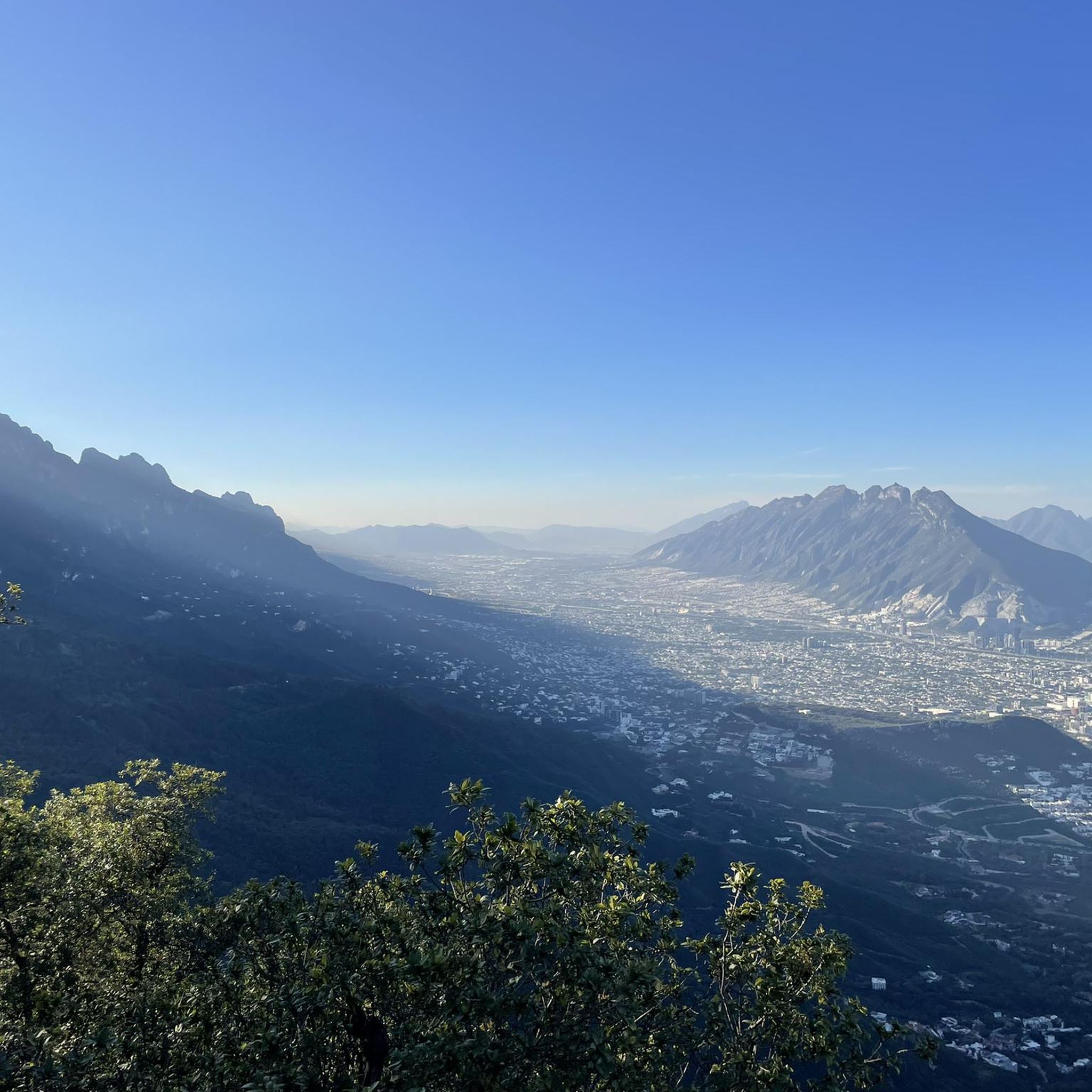
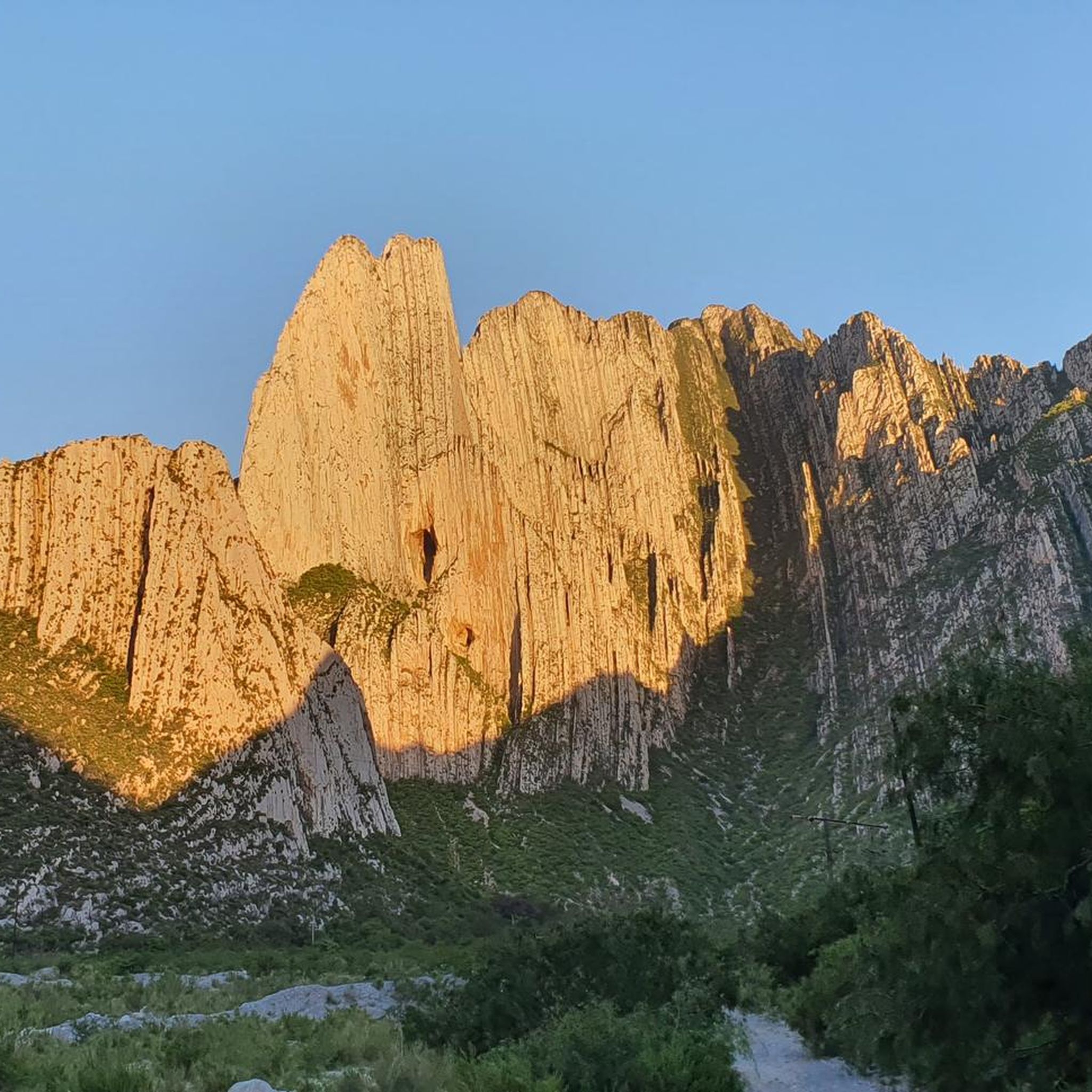
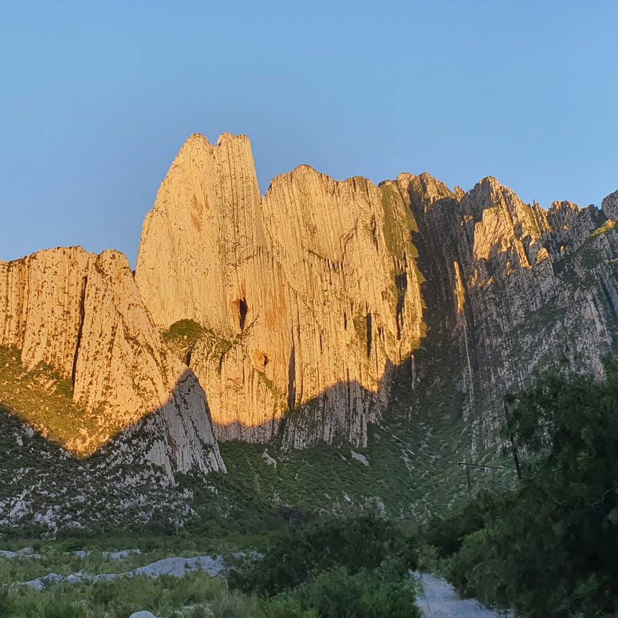
Jogging in Cumbres De Monterrey offers diverse routes through a mountainous landscape characterized by deep canyons, forested slopes, and significant elevation changes. The region, part of the Sierra Madre Oriental, presents a rugged terrain with limestone formations and varied vegetation. Runners can explore areas like Chipinque Ecological Park and La Huasteca Canyon, which feature challenging ascents and rewarding views.
Best jogging routes in Cumbres De Monterrey
- The most popular jogging route is El Aire Pass loop from Reserva Natural Chipinque, a 6.4 miles (10.3 km) trail that takes 1 hour 39 minutes to complete. This difficult route features steady climbs and panoramic views.
- Another top favourite among local runners is Cañada La Piedra Cuadrada – Cañada Las Moras loop from Parque Ecológico Chipinque, a difficult 10.9 miles (17.5 km) path. This route involves challenging ascents through mountainous terrain.
- Local runners also love the El Aire Pass – Cañada Las Moras loop from Reserva Natural Chipinque, a 6.6 miles (10.6 km) trail leading through forested slopes and scenic overlooks, often completed in about 1 hour 35 minutes.
- Jogging in Cumbres De Monterrey is defined by mountainous terrain, deep canyons, and forested areas. The network offers options for various ability levels, from moderate paths to challenging running trails.
- The routes in Cumbres De Monterrey are highly rated by the komoot community with an average score of 5.0 stars from more than 10 reviews. More than 1000 runners have used komoot to explore Cumbres De Monterrey's varied terrain.
Last updated: July 9, 2026
64
runners
10.3km
01:39
460m
460m
Hard run. Very good fitness required. Sure-footedness, sturdy shoes and alpine experience required.
24
runners
Hard run. Very good fitness required. Sure-footedness, sturdy shoes and alpine experience required.

Sign up for free
21
runners
25.2km
02:38
170m
170m
Hard run. Very good fitness required. Mostly paved surfaces. Suitable for all skill levels.
33
runners
17.0km
02:36
800m
790m
Hard run. Very good fitness required. Sure-footedness, sturdy shoes and alpine experience required.
8
runners
6.80km
00:43
70m
70m
Moderate run. Good fitness required. Mostly paved surfaces. Suitable for all skill levels.
Get access to more routes and recommendations from other explorers.
Sign up for free
Already have an account?
Our route recommendations are based on thousands of hikes, rides, and runs completed by other people on komoot.
Start today with a free account
Your next adventure awaits.
Login or Signup
Popular around Cumbres De Monterrey
Tips from the Community

I recommend as early as possible, since at noon there are many people
0
0
Frequently Asked Questions
How many running routes are available in Cumbres De Monterrey?
There are over 30 dedicated running routes in Cumbres De Monterrey, offering a wide range of options for different skill levels and preferences.
What kind of terrain can I expect on running trails in Cumbres De Monterrey?
The region is characterized by a mountainous landscape with deep canyons, forested slopes, and significant elevation changes. You'll encounter rugged terrain, limestone formations, and varied vegetation, providing both challenging ascents and rewarding views.
Are there easy running routes for beginners in Cumbres De Monterrey?
Yes, Cumbres De Monterrey offers 7 easy running routes suitable for beginners or those looking for a less strenuous run. These paths generally have gentler inclines and shorter distances.
Are there challenging running trails for experienced runners in Cumbres De Monterrey?
Absolutely. For experienced runners seeking a challenge, there are 11 difficult routes. Trails like Cañada La Piedra Cuadrada – Cañada Las Moras loop from Parque Ecológico Chipinque, spanning 10.9 miles (17.5 km) with significant elevation gain, offer demanding ascents through mountainous terrain.
What are some options for long-distance running in Cumbres De Monterrey?
For longer runs, consider routes such as La Huasteca Canyon – La Huasteca loop from Miguel Hidalgo, which covers over 15 miles (25 km). These routes provide extensive mileage through scenic landscapes.
Are there any circular running routes in Cumbres De Monterrey?
Yes, many routes in Cumbres De Monterrey are circular, allowing you to start and finish at the same point. Examples include El Aire Pass loop from Reserva Natural Chipinque and El Aire Pass – Cañada Las Moras loop from Reserva Natural Chipinque, both offering scenic loops through forested areas.
Can I find running routes with scenic viewpoints in Cumbres De Monterrey?
Yes, the mountainous nature of Cumbres De Monterrey means many running routes offer spectacular scenic viewpoints. Trails often lead through forested slopes and provide panoramic vistas of the surrounding canyons and peaks. For instance, the View of Monterrey Skyline loop from SONOMA offers great city views.
What do other runners say about the trails in Cumbres De Monterrey?
The running routes in Cumbres De Monterrey are highly rated by the komoot community, with an average score of 5.0 stars from 16 reviews. Runners frequently praise the challenging terrain, rewarding views, and the natural beauty of areas like Chipinque Ecological Park.
Are the running trails in Cumbres De Monterrey suitable for families?
While many routes involve significant elevation, there are moderate and easy options that can be suitable for families looking to enjoy a run together. It's best to check the difficulty and distance of specific routes to ensure they align with your family's fitness levels.
Are dogs allowed on the running trails in Cumbres De Monterrey?
Regulations regarding dogs can vary by specific park or trail section within Cumbres De Monterrey. It's advisable to check the rules for areas like Chipinque Ecological Park or La Huasteca Canyon before heading out with your dog.
Where can I find parking near the running trailheads?
Major ecological parks and popular trail access points, such as those in Chipinque Ecological Park and La Huasteca Canyon, typically offer designated parking areas. It's recommended to arrive early, especially on weekends, as spots can fill up quickly.
What is the best time of year to go running in Cumbres De Monterrey?
The best time to run in Cumbres De Monterrey is generally during the cooler, drier months, typically from autumn through spring (October to April). Summers can be very hot and humid, making early morning or late afternoon runs preferable during that season.
What should I wear for running in Cumbres De Monterrey's climate?
Given the varied terrain and potential for elevation changes, layered clothing is often best. Moisture-wicking fabrics are essential. Depending on the season, you might need a light jacket for cooler mornings or evenings, and always wear appropriate trail running shoes for grip on uneven surfaces.
Most popular routes in Cumbres De Monterrey

Get inspired with the komoot mobile app


Explore more
Browse the best Running Trails & Routes in other regions.
