The best cycling routes in Insurgente Miguel Hidalgo Y Costilla
4.9
(11)
425
riders
8
rides
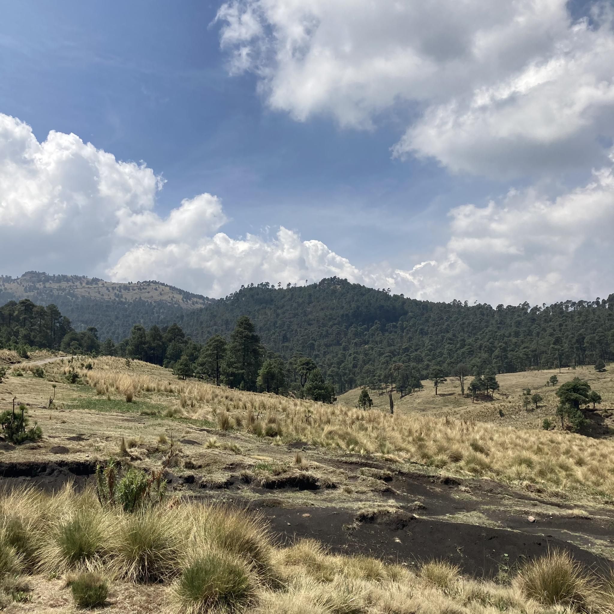
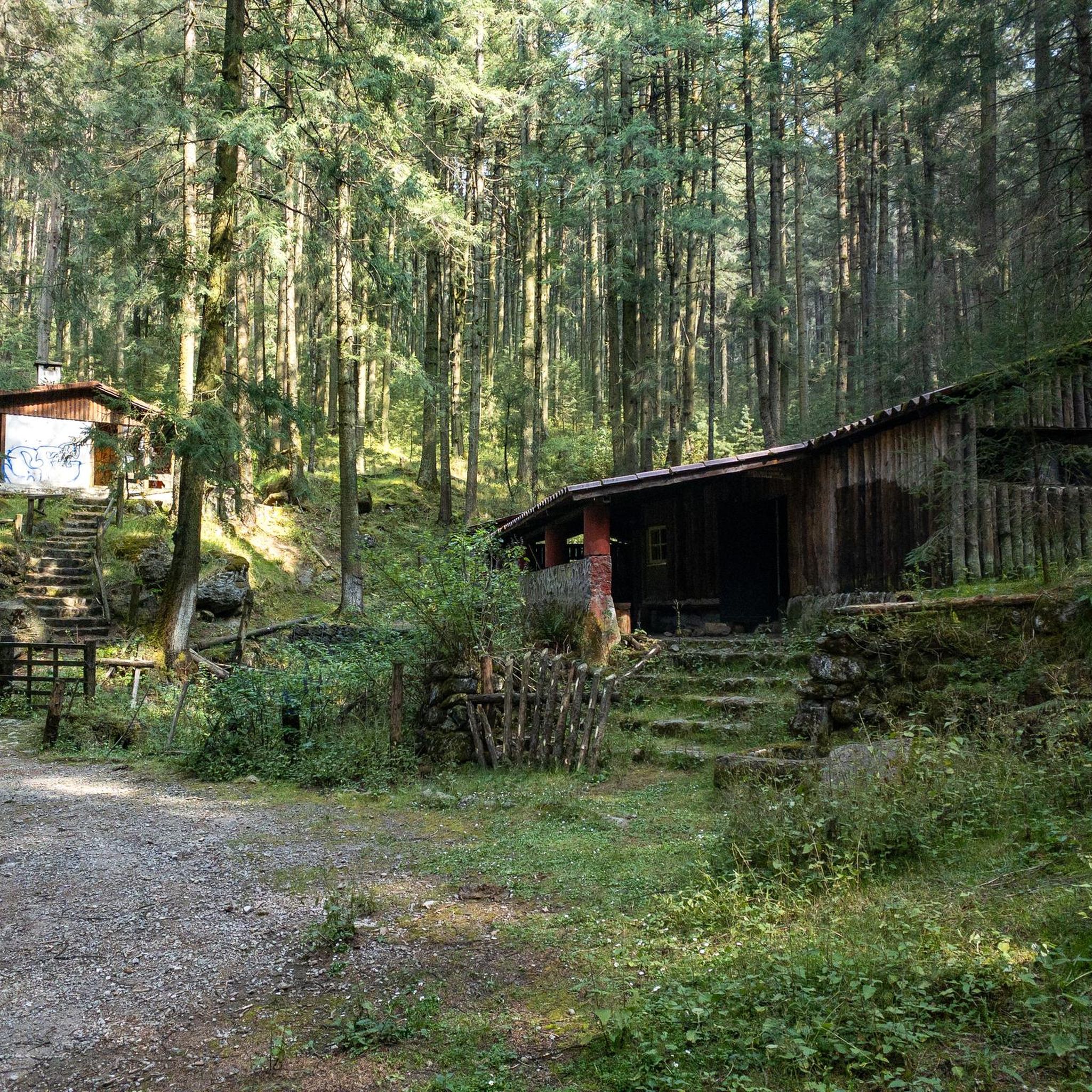
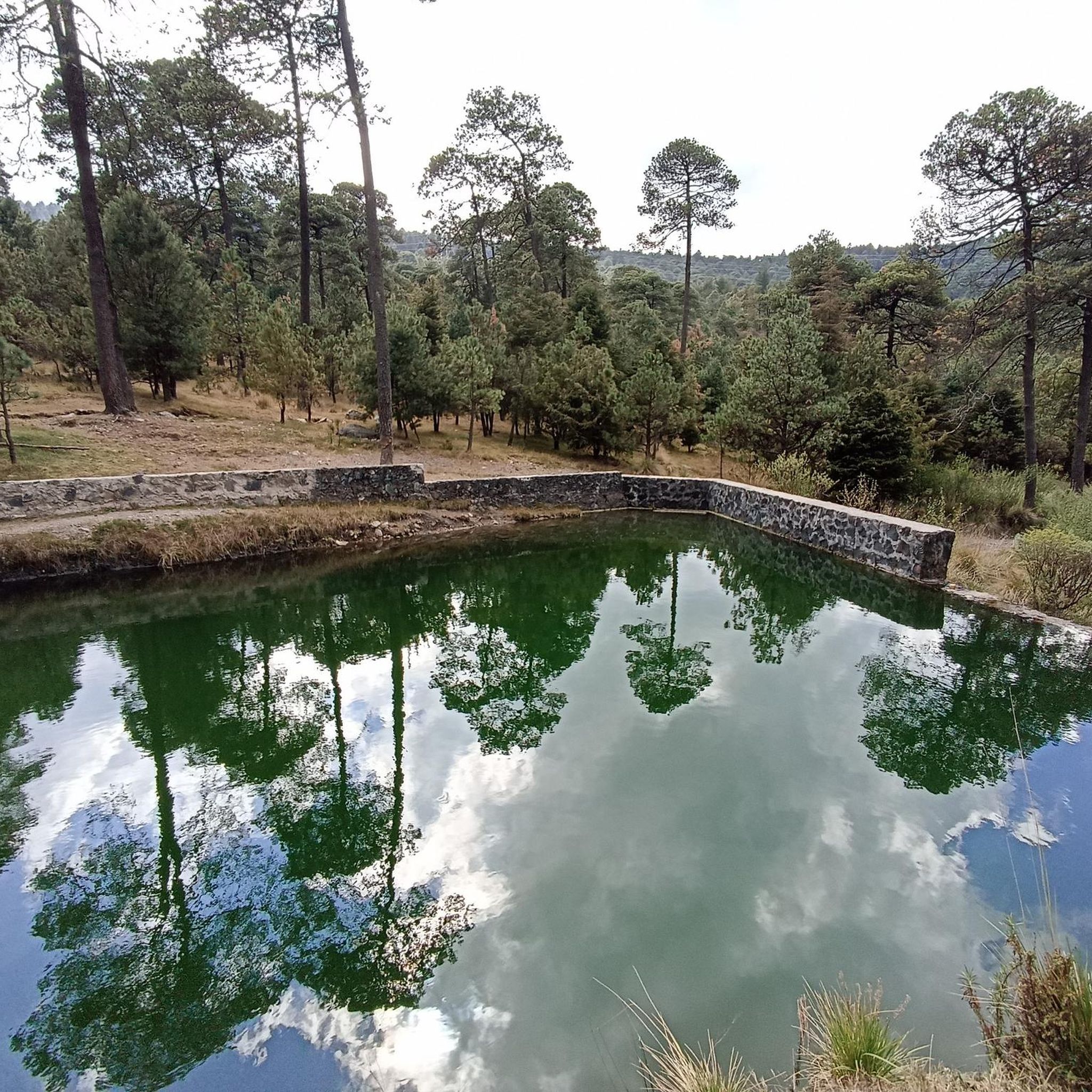
Touring cycling routes in Insurgente Miguel Hidalgo y Costilla National Park traverse a diverse landscape characterized by mountainous terrain, valleys, and dense coniferous forests. Situated at high altitudes, the park offers a unique riding experience with varied topography. Cyclists can explore extensive trails and roads that wind through oyamel, pine, and cedar forests, providing scenic routes and a cooler climate. The region's elevated areas give rise to springs and streams, contributing to the lush environment.
Best touring cycling routes in…
Last updated: October 18, 2026
3
riders
32.9km
02:30
700m
710m
Hard bike ride. Very good fitness required. Mostly paved surfaces. Suitable for all skill levels.
3
riders
Hard bike ride. Very good fitness required. Mostly paved surfaces. Suitable for all skill levels.

6
riders
9.48km
01:05
390m
390m
Moderate bike ride. Good fitness required. Mostly paved surfaces. Suitable for all skill levels.
4
riders
Hard bike ride. Very good fitness required. Mostly paved surfaces. Suitable for all skill levels.
5.0
(2)
72
riders
17.0km
01:22
360m
360m
Moderate bike ride. Good fitness required. Mostly paved surfaces. Suitable for all skill levels.
Get access to more routes and recommendations from other explorers.
Already have an account?
Our route recommendations are based on thousands of hikes, rides, and runs completed by other people on komoot.
Start today with a free account
Your next adventure awaits.
Tips from the Community

It's the perfect place to stop at the end of your adventure, rest for a moment and enjoy a comforting snack after your exertion.
0
0
Beside the road stands a small image of Our Lady of Guadalupe, watched over with devotion by passersby. Many people stop for a few minutes to leave flowers, candles, or other offerings, giving thanks for favors received or asking for protection on their journey. It's a simple spot, but full of faith and meaning.
0
0

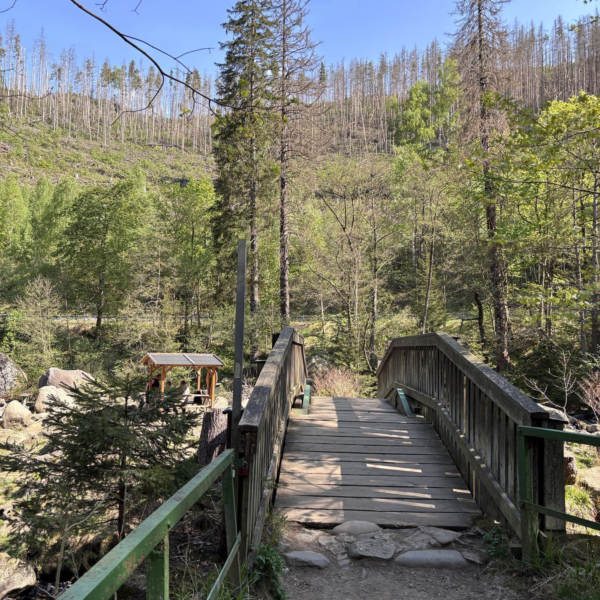
This is a beautiful and iconic covered wooden bridge, very popular with hikers and cyclists. The surroundings are lovely. Be careful if it's very wet, as the ground can sometimes be a bit slippery.
0
0

It's a pleasant route and suitable for all cyclists...
0
0

Fun descent that borders a ravine, which ends in the famous Valle del Conejo. You will arrive next to the stalls where you can recharge your batteries with a delicious pulque and typical snacks from the region.
0
0
Quite a fun segment, it is practically flat, with the occasional swing to add a bit of flavor to the route. The terrain is in very good condition, so you can choose whether to walk through it relaxedly or pedal at full speed zigzagging between huge pine trees that surround you at all times.
0
0
In this segment, you will have to push the bike for a few meters. In addition to its slope, which is not very complicated for a gravel bike, it has large rocks and roots that make it a bit complicated. The good news is that it is short and from here a very fun section begins.
0
0
This quesadilla stand is strategically located at the crossroads of several roads. In addition to a variety of typical snacks, here you can top up on water, have a soft drink or recharge your batteries with their selection of sweets. It is a good meeting point when traveling in a group.
0
0
Frequently Asked Questions
What kind of terrain can I expect when touring cycling in Insurgente Miguel Hidalgo y Costilla National Park?
The park features diverse terrain, including mountainous surfaces, valleys, and extensive plains like the "Llanos de Salazar." You'll cycle through dense coniferous forests of oyamel, pine, and cedar, which offer varied topography and a cooler climate. Routes often involve significant elevation changes, providing a challenging yet rewarding experience.
Are there any easy touring cycling routes for beginners in the park?
While many routes in Insurgente Miguel Hidalgo y Costilla National Park are rated moderate to difficult due to the mountainous terrain and elevation changes, there are options that can be more accessible. For example, the Tres Caminos Dam – Quesadilla stand loop from Colonia Xalpa is a moderate 6.1-mile (9.8 km) route that leads through forested sections and open plains, offering a good balance for those looking for a less strenuous ride.
What are some notable natural features or viewpoints I can see while cycling in the park?
Cyclists can enjoy breathtaking views from various panoramic viewpoints throughout the park, including elevated peaks like Peñas Barrón, El Tepehuisco, Tres Peñas, Las Palmas, and La Torcida. The park is also characterized by dense forests and numerous springs and streams that contribute to its lush environment. The Panoramic view of Mexico City – Valley of Plastic Rabbits loop from Valle del Conejo offers expansive views of the surrounding valleys and distant cityscapes.
What is the best time of year to go touring cycling in Insurgente Miguel Hidalgo y Costilla?
The park is located at high altitudes (around 3,000 meters above sea level), offering cooler temperatures. While pleasant during warmer months, be aware that snow is possible during winter (December, January, and February). For comfortable cycling, spring and autumn generally offer the most stable and pleasant weather conditions.
Are there any circular touring cycling routes available?
Yes, many of the touring cycling routes in Insurgente Miguel Hidalgo y Costilla National Park are designed as loops. Examples include the popular Plaza de las Alas loop from Barbacoa Don Tomas, the Panoramic view of Mexico City – Valley of Plastic Rabbits loop from Valle del Conejo, and the Circular por Desierto de los Leones, allowing you to start and end at the same point.
What do other touring cyclists say about the routes in Insurgente Miguel Hidalgo y Costilla?
The touring cycling routes in Insurgente Miguel Hidalgo y Costilla are highly rated by the komoot community, with an average score of 4.9 stars from over 10 reviews. Cyclists often praise the diverse terrain, the challenging climbs, and the beautiful forested landscapes that provide a refreshing escape from city life.
Are there places to eat or get refreshments near the cycling routes?
Yes, the park is known for its local gastronomy. Visitors can find restaurants and food stands offering typical local dishes such as quesadillas, barbacoa, mixiotes, grilled meat, and trout. The Tres Caminos Dam – Quesadilla stand loop from Colonia Xalpa even highlights a quesadilla stand, indicating food options are available along some routes.
Is it possible to reach the park's cycling routes using public transport?
The park is situated between Mexico City and Toluca, making it accessible. While specific public transport routes directly to trailheads are not detailed, local buses and colectivos typically serve the general area, allowing access to various entry points of the park. It's advisable to research local transport options from Mexico City or Toluca to the park's vicinity.
Are there any historical sites or cultural attractions to explore in the park?
Yes, the park holds historical importance as the site of the Battle of Monte de las Cruces during Mexico's War of Independence. You can visit the Museo de sitio 'Batalla del Monte de las Cruces' (site museum) and explore parts of the historic Royal Road from Toluca to Mexico City, adding a cultural dimension to your cycling trip.
What is the typical elevation gain on touring cycling routes in Insurgente Miguel Hidalgo y Costilla?
Due to the mountainous terrain, touring cycling routes in the park often feature significant elevation gains. For instance, the Plaza de las Alas loop from Barbacoa Don Tomas involves over 700 meters of ascent, while the Panoramic view of Mexico City – Valley of Plastic Rabbits loop from Cola de Pato has an elevation gain of over 450 meters. Be prepared for climbs and descents.
Are there designated picnic or camping areas for cyclists?
Yes, the park provides designated areas for picnicking and camping. These facilities can be convenient for cyclists planning longer tours or looking for a place to rest and refuel amidst their ride, allowing for a more extended stay and exploration of the park's natural beauty.
Most popular routes in Insurgente Miguel Hidalgo Y Costilla

Get inspired with the komoot mobile app


Explore more
Browse the best Cycling routes in other regions.
