The best road cycling routes in Ciénegas Del Lerma
4.9
(14)
108
riders
8
rides
Road cycling routes in Ciénegas Del Lerma are situated within a significant wetland system in the State of Mexico, characterized by extensive freshwater wetlands and surrounding mountainous terrain. The region, part of the Toluca Valley, offers varied landscapes for cycling, from roads skirting the wetland areas to routes ascending into the adjacent mountains. This topography provides opportunities for diverse road cycling experiences, including routes with notable elevation changes.
Best road cycling routes in Ciénegas Del Lerma
- The most popular road cycling route is Calzada Flotante Chapultepec – Petroleum Fountain loop from Lerma, a 90.3 miles (145.4 km) trail that takes 7 hours 42 minutes to complete. This difficult route features significant elevation gain through varied terrain.
- Another top favourite among local road cyclists is Espinazo del Diablo loop from El Insurgente, a difficult 39.7 miles (63.9 km) path. This route includes substantial climbs, offering views of the surrounding landscape.
- Local road cyclists also love the Otomí Ceremonial Center – Valle de las Palomas loop from Villa Cuauhtémoc, a 37.0 miles (59.6 km) trail leading through the region's diverse topography, often completed in about 3 hours 20 minutes.
- Road cycling in Ciénegas Del Lerma is defined by routes traversing the Toluca Valley, passing near wetland systems, and ascending into the surrounding mountains. The network offers options for easy, moderate, and difficult ability levels.
- The routes in Ciénegas Del Lerma are highly rated by the komoot community with an average score of 4.9 stars from more than 10 reviews. More than 100 road cyclists have used komoot to explore Ciénegas Del Lerma's varied terrain.
Last updated: July 16, 2026
5.0
(1)
68
riders
145km
07:41
2,570m
2,570m
Hard road ride. Very good fitness required. Mostly well-paved surfaces and easy to ride.
6
riders
63.9km
05:44
1,450m
1,450m
Hard road ride. Very good fitness required. Some segments of this route may be unpaved and difficult to ride.

Sign up for free
5.0
(5)
13
riders
40.1km
01:46
370m
370m
Moderate road ride. Good fitness required. Mostly well-paved surfaces and easy to ride.
1
riders
78.5km
03:47
800m
790m
Moderate road ride. Good fitness required. Some segments of this route may be unpaved and difficult to ride.
1
riders
60.7km
03:29
1,260m
1,260m
Hard road ride. Very good fitness required. Mostly well-paved surfaces and easy to ride.
Get access to more routes and recommendations from other explorers.
Sign up for free
Already have an account?
Our route recommendations are based on thousands of hikes, rides, and runs completed by other people on komoot.
Start today with a free account
Your next adventure awaits.
Login or Signup
Popular around Ciénegas Del Lerma

Tips from the Community

A cycling classic! Getting here requires effort and enjoyment due to its mountainous landscapes and long, steep climbs. No matter where you arrive, you'll have to climb. There's food outside and even an ancestral spirit (pulque), so there's plenty of supplies for all visitors. The place is wonderful to explore; it has a museum, ceremonies, picnic areas, and just exploring the area is fascinating.
1
0
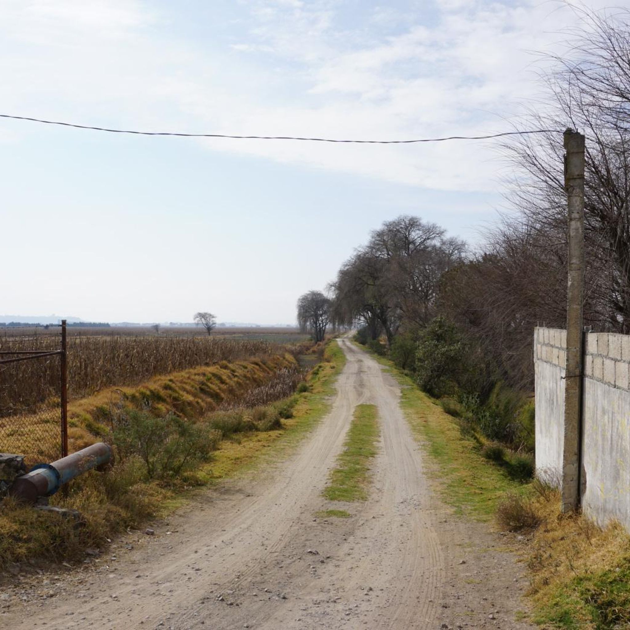
A gentle gravel road for those who are just starting out on their dirt bike, it doesn't require great technique and there are even sections that a road bike can handle without any problems.
3
0


Nice way to cross the highway (periferico) from Chapultepec to Los Pinos
1
0
Just before reaching the famous "Y" of the Ajusco. The most panoramic and close view of the mountain with its well-known Pico del Águila. A path that has changed a lot over the years due to construction and now 2 stops on the road. The only thing that remains beautiful is the mountainous view and the feeling of having managed to reach this point by bike.
5
0
It is the section before the famous "Y" of the Ajusco circuit where you can enjoy a panoramic view of the mountain, the Pico del Águila in the distance, from there you will already have an idea of the weather that awaits you on the road to the heights . Over the years the panorama has changed due to the buildings and bars, but it is still beautiful.
3
0
Excellent area to train within the city, whether you go by bike, rollerblades or running you will find good slopes with enough incline to sweat and suffer when you go in mood training. There are parts with little traffic at some times of the day, as long as it is before or after the departure of people to their destinations. Another advantage is that there are good trees that provide shade and a cooler environment than many roads or paths. Enjoy your effort!
3
0
The Valley of the Pigeons where there are no pigeons, only Cows! Obliged to reach the Otomí Ceremonial Center (CCO) or Jiquipilco. Be prepared for the wind either head or cross. There are almost always puddles of water and it is usually cold. Surrounded by green mountains, an area to eat and rest to continue with the descent or the return. Enjoy your way.
1
0
Frequently Asked Questions
What kind of terrain can I expect when road cycling in Ciénegas Del Lerma?
Road cycling in Ciénegas Del Lerma offers a diverse landscape. While the immediate wetland areas are not suitable for road bikes, routes in the surrounding region traverse the Toluca Valley and ascend into the majestic mountains. This means you can expect varied terrain, from flatter sections near the wetlands to significant climbs with notable elevation changes as you head into the higher areas.
Are there road cycling routes suitable for beginners in Ciénegas Del Lerma?
Yes, Ciénegas Del Lerma offers routes for various skill levels, including options suitable for beginners. For instance, the Maguey Hill – Calvary of Metepec loop from Metepec is an easy 30.6 km (19 miles) route with a manageable elevation gain of around 230 meters, making it a good choice for those new to road cycling in the area.
What are some challenging road cycling routes for experienced riders?
Experienced road cyclists looking for a challenge will find several demanding routes. The Calzada Flotante Chapultepec – Petroleum Fountain loop from Lerma is a difficult 145.4 km (90.3 miles) route featuring over 2,500 meters of elevation gain. Another challenging option is the Espinazo del Diablo loop from El Insurgente, a difficult 63.9 km (39.7 miles) path with substantial climbs.
What natural features or landmarks can I see while cycling in the region?
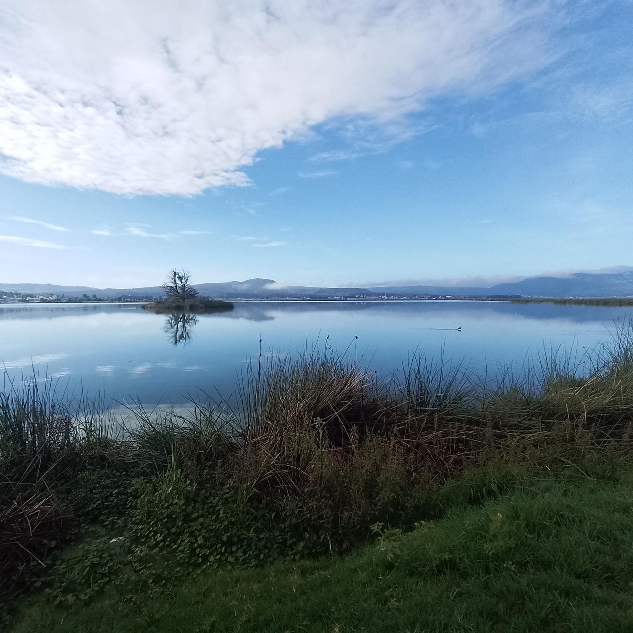
While cycling the roads around Ciénegas Del Lerma, you'll be treated to picturesque backdrops of majestic mountains and views of the Toluca Valley. The region is known for its extensive freshwater wetlands, which are a designated Ramsar site and an Area of Protection of Flora and Fauna. You might catch glimpses of these unique ecosystems, which are critical habitats for various species, including migratory birds.
What is the best time of year for road cycling in Ciénegas Del Lerma?
The Ciénegas Del Lerma region, being a significant wetland system, experiences distinct seasons. While specific cycling weather is not detailed, the area is an internationally recognized sanctuary and an essential stopover for migratory aquatic birds, especially during the autumn and winter months. This suggests cooler, possibly drier conditions during these periods, which could be ideal for cycling, offering comfortable temperatures and unique birdwatching opportunities.
Are there any loop routes available for road cyclists?
Yes, many of the road cycling routes in Ciénegas Del Lerma are designed as loops, allowing you to start and finish at the same point. Examples include the challenging Calzada Flotante Chapultepec – Petroleum Fountain loop from Lerma and the Otomí Ceremonial Center – Valle de las Palomas loop from Villa Cuauhtémoc, which takes you through diverse topography.
What do other road cyclists say about the routes in Ciénegas Del Lerma?
The road cycling routes in Ciénegas Del Lerma are highly regarded by the komoot community, holding an impressive average rating of 4.9 stars from over 10 reviews. Cyclists often praise the varied terrain, which offers both challenging climbs and scenic stretches through the Toluca Valley, providing a rewarding experience for different skill levels.
Are there any family-friendly road cycling options in the area?
While the region offers routes of varying difficulty, including easy options, specific 'family-friendly' designations for road cycling can depend on the age and experience of the family members. Routes like the easy Maguey Hill – Calvary of Metepec loop from Metepec could be suitable for families with some road cycling experience, given its shorter distance and moderate elevation.
Is there parking available for cyclists near the routes?
The region around Ciénegas Del Lerma, being close to urban centers like Toluca, generally offers parking facilities. While specific parking spots for each route are not detailed, starting points for many routes are often accessible by car, allowing cyclists to park and begin their ride. It's advisable to check the specific starting location of your chosen route for the most convenient parking options.
Can I reach the cycling areas by public transport?
The Ciénegas Del Lerma region is situated in the State of Mexico, near the Toluca Valley. Public transport options to and from nearby towns and cities are generally available. However, transporting a road bike on public transport can vary by service and region. It's recommended to research local bus or train services to see if they accommodate bicycles for your specific starting point.
Are there any specific permits required for road cycling in Ciénegas Del Lerma?
There is no indication that specific permits are required for road cycling on public roads in the Ciénegas Del Lerma region. As an Area of Protection of Flora and Fauna, activities directly within the wetland areas might have regulations, but road cycling typically occurs on established roads outside these sensitive zones. Always respect local regulations and protected areas.
What is the longest road cycling route available?
The longest road cycling route currently available in Ciénegas Del Lerma is the Calzada Flotante Chapultepec – Petroleum Fountain loop from Lerma. This challenging route spans 145.4 km (90.3 miles) and involves a significant elevation gain of over 2,500 meters, making it a substantial ride for endurance cyclists.
Most popular routes in Ciénegas Del Lerma

Get inspired with the komoot mobile app


