The best walks and hikes around Korttajärvi
4.3
(14)
414
hikers
40
hikes
Hiking around Korttajärvi, a lake in Central Finland, offers diverse natural landscapes for outdoor activities. The region is characterized by the tranquil Lake Korttajärvi, surrounded by a mix of forests and arable land. Laahanmäki Hill rises from the southern coast, providing varying terrain and potential viewpoints. The area's natural features create a pleasant setting for exploring accessible trails.
Best hiking trails around Korttajärvi
- The most popular hiking route is Asphalt road along the lake loop from Palokka, an 8.5…
Last updated: July 1, 2026
44
hikers
13.5km
03:29
70m
70m
Moderate hike. Good fitness required. Easily-accessible paths. Suitable for all skill levels.
4.0
(1)
27
hikers
8.87km
02:25
130m
130m
Moderate hike. Good fitness required. Easily-accessible paths. Suitable for all skill levels.

Sign up for free
8
hikers
9.48km
02:30
80m
80m
Moderate hike. Good fitness required. Easily-accessible paths. Suitable for all skill levels.
4
hikers
6.37km
01:43
80m
80m
Easy hike. Great for any fitness level. Easily-accessible paths. Suitable for all skill levels.
3
hikers
6.05km
01:36
60m
60m
Easy hike. Great for any fitness level. Easily-accessible paths. Suitable for all skill levels.
Get access to more routes and recommendations from other explorers.
Sign up for free
Already have an account?
Our route recommendations are based on thousands of hikes, rides, and runs completed by other people on komoot.
Start today with a free account
Your next adventure awaits.
Login or Signup


Tips from the Community

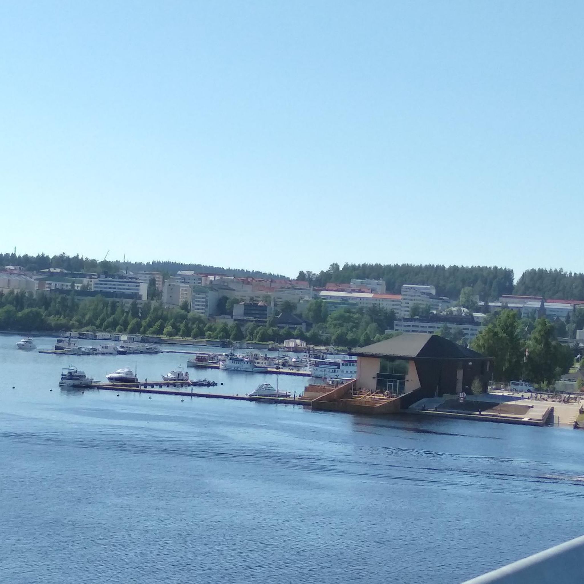
This asphalt road smoothly runs next to the lake.
0
0

the parking lot of the 1970s concrete-style hotel is a good starting point for the cave
2
0
Frequently Asked Questions
What kind of terrain can I expect on hikes around Korttajärvi?
The hiking trails around Korttajärvi offer a diverse landscape. You'll find paths winding through forests, alongside tranquil lake shores, and occasionally ascending gentle slopes like Laahanmäki Hill, which rises 45 meters from the southern coast. This mix provides varied scenery, from wooded areas to open vistas of arable land.
Are there many hiking trails available in the Korttajärvi area?
Yes, there are plenty of options for hikers. The Korttajärvi region features over 45 hiking routes, catering to various preferences and fitness levels. You can find everything from easy strolls to more challenging paths.
What are some natural features or viewpoints to look out for while hiking?
The central natural feature is Lake Korttajärvi itself, offering picturesque water views along its 4.5-kilometer shoreline. Laahanmäki Hill provides an elevation that can offer rewarding panoramic views of the lake and its surroundings. The trails also pass through a pleasant mix of forest and arable land, ensuring diverse natural scenery.
Are there any easy hiking trails suitable for beginners or casual walkers?
Absolutely. The Korttajärvi area has 29 easy hiking routes. An example is the Scandic Laajavuori Hotel – Devil's Cave loop from Myllyjärvi, which is 6.2 kilometers long and offers a pleasant, less strenuous experience.
Are there any loop trails around Korttajärvi?
Yes, many of the trails around Korttajärvi are designed as loops, allowing you to start and end at the same point. A popular moderate loop is the Kirrin EU-uimaranta loop from Palokka, covering 9.1 kilometers through mixed forest and open areas.
What do other hikers say about the trails in Korttajärvi?
The hiking routes in Korttajärvi are highly regarded by the komoot community, with an average rating of 4.2 stars from over 10 reviews. Hikers often praise the tranquil lake views, diverse forest paths, and the gentle hill slopes that make for an enjoyable outdoor experience.
Is Korttajärvi a good destination for family-friendly hikes?
Yes, Korttajärvi is well-suited for families. With 29 easy routes available, there are many options that are manageable for children and offer pleasant, accessible paths through nature. The diverse scenery keeps walks engaging for all ages.
Can I bring my dog on the hiking trails around Korttajärvi?
Generally, dogs are welcome on hiking trails in Finland, provided they are kept on a leash and you clean up after them. The natural setting of Korttajärvi, with its forests and lakeside paths, offers a great environment for walks with your canine companion.
What is the best time of year to go hiking in Korttajärvi?
Korttajärvi offers hiking opportunities throughout the year. Spring and autumn provide vibrant colors and comfortable temperatures, while summer is ideal for enjoying the lake and longer daylight hours. Winter hiking is also possible, offering a serene, snow-covered landscape, though some paths might require appropriate gear.
Are there any longer, more challenging routes for experienced hikers?
While the majority of routes are easy to moderate, there is at least one difficult trail for those seeking a greater challenge. For a moderate, longer option, consider the Asphalt road along the lake loop from Palokka, which is 13.6 kilometers and takes about 3 hours 30 minutes.
Where can I find parking for hiking trails in Korttajärvi?
While specific parking areas are not detailed, hiking areas in Finland typically have designated parking spots near trailheads. Given Korttajärvi's accessibility, it is likely that parking is available at common starting points, such as near the southern beach or other popular access points around the lake.
Are there any cafes or places to eat near the hiking trails?
The region around Korttajärvi is part of the municipality of Jyväskylä. While specific cafes directly on the trails are not mentioned, the nearby village of Puuppola and the wider Jyväskylä area would offer various amenities, including cafes and accommodation, for before or after your hike.
Most popular routes around Korttajärvi

Get inspired with the komoot mobile app


Explore more
Browse the best Hikes in other regions.
