The best road cycling routes around Stilling-Solbjerg Sø
4.5
(71)
4,697
riders
169
rides
Road cycling around Stilling-Solbjerg Sø features routes that navigate the landscape surrounding the lake in Central Denmark. The region is characterized by a mix of open fields, woodlands, and undulating terrain, providing varied gradients for road cyclists. Elevations are generally moderate, with some routes including notable climbs. The area offers a network of paved roads suitable for diverse cycling experiences.
Best road cycling routes around Stilling-Solbjerg Sø
- The most popular road cycling route is Rollercoaster Road loop from Stilling, a 17.5 miles (28.2 km) trail that takes 1 hour 20 minutes to complete. This easy route features varied terrain with gentle ascents and descents.
- Another top favourite among local road cyclists is Winding Road Through Forest loop from Stilling, a moderate 33.5 miles (53.8 km) path. It offers views of the surrounding woodlands and open landscapes.
- Local road cyclists also love the Radar Tower on Hvolbækvej – Stilling Lake loop from Solbjerg, a 19.3 miles (31.1 km) trail leading through Stilling Lake and features a radar tower viewpoint, often completed in about 1 hour 25 minutes.
- Road cycling around Stilling-Solbjerg Sø is defined by lake views, surrounding forests, and undulating terrain. The network offers options for different ability levels, from easy rides to more challenging moderate routes.
- The routes in Stilling-Solbjerg Sø are highly rated by the komoot community with an average score of 4.6 stars from over 60 reviews. More than 4000 road cyclists have used komoot to explore Stilling-Solbjerg Sø's varied terrain.
Last updated: July 1, 2026
5.0
(6)
57
riders
28.2km
01:19
250m
250m
Easy road ride. Great for any fitness level. Mostly well-paved surfaces and easy to ride.
34
riders
52.5km
02:34
450m
450m
Moderate road ride. Good fitness required. Some segments of this route may be unpaved and difficult to ride.

Sign up for free
8
riders
31.1km
01:25
360m
360m
Moderate road ride. Good fitness required. Mostly well-paved surfaces and easy to ride.
5.0
(1)
4
riders
62.8km
02:43
450m
450m
Moderate road ride. Good fitness required. Some segments of this route may be unpaved and difficult to ride.
113
riders
Hard road ride. Very good fitness required. Some segments of this route may be unpaved and difficult to ride.
Get access to more routes and recommendations from other explorers.
Sign up for free
Already have an account?
Our route recommendations are based on thousands of hikes, rides, and runs completed by other people on komoot.
Start today with a free account
Your next adventure awaits.
Login or Signup

Tips from the Community

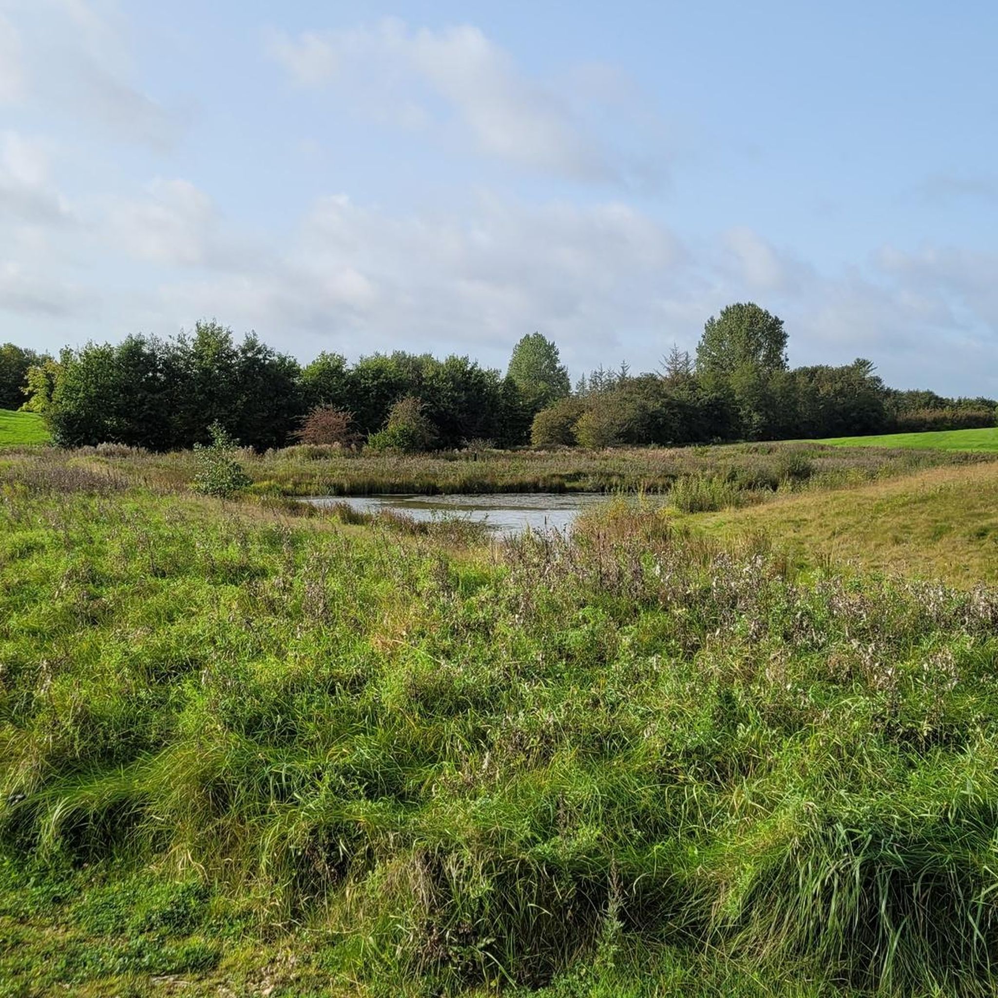
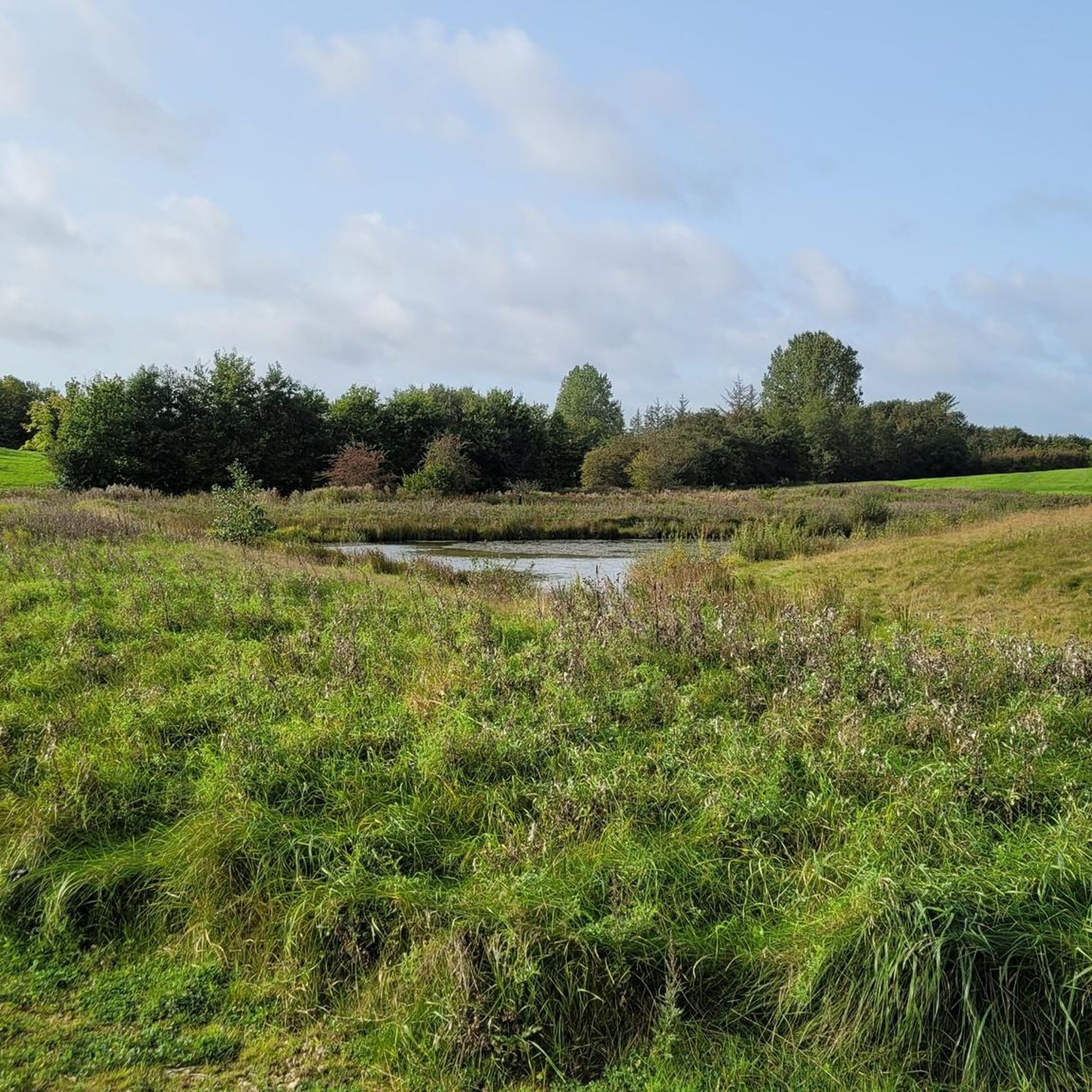
A dense forest that's ideal for a gentle stroll, accompanied by the chorus of birdlife. There's a small wetland area where you can spot local wildfowl and visiting birds.
0
0

The official hiking trail around Horsens Fjord on the Jutland east coast is called Fjordmino. It is a total of 59 kilometers long and is particularly characterized by its varied nature and a ferry crossing (bicycle ferry) between the islands of Alrø and Hjarnø. The most important facts at a glance: Length: 59 km (complete circular route)
0
0

Nice forest south of Odder for hiking or jogging, especially on hot summer days. There is a parking lot in the north where you can start.
1
0
Parts of Vitved Church were built in the Romanesque period. The nave and the porch are from the late Gothic period. Renovations took place in 1963.
1
0

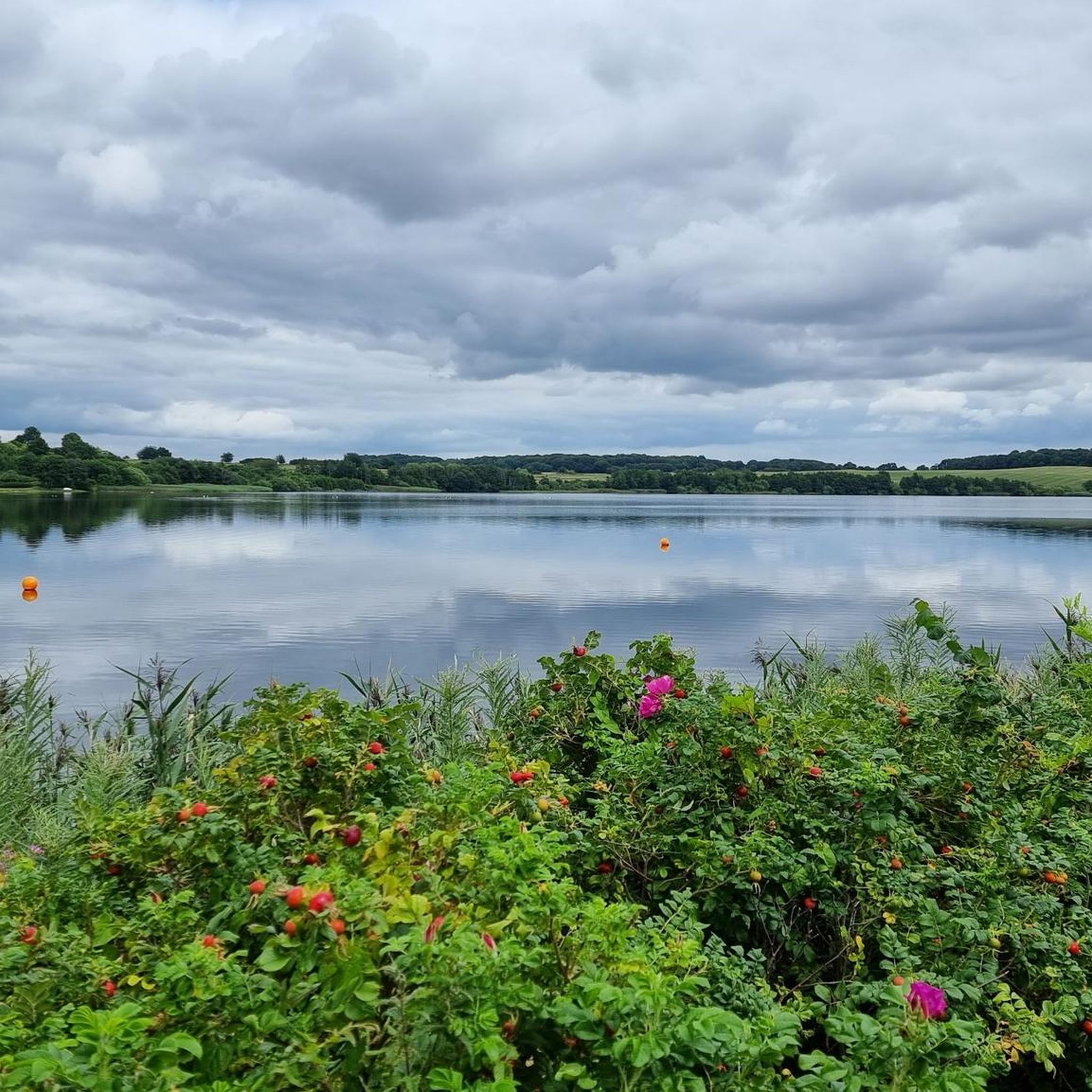
A beautiful way into Denmark's 'lake district', with stunning views over Stilling Sø. Stop here and enjoy the view, or go for a quick swim if the weather is good.
1
0

Almost alpine conditions! But only for a very short time.
0
0

Rye is a charming Danish town surrounded by stunning nature, perfect for outdoor enthusiasts. Located near the beautiful Lake Mossø and Himmelbjerget, one of Denmark's highest points, it offers great cycling, hiking, and kayaking opportunities. Don't miss the cosy cafés and local bakeries for a well-deserved break.
2
0
Frequently Asked Questions
How many road cycling routes are there in Stilling-Solbjerg Sø?
There are over 180 road cycling routes available around Stilling-Solbjerg Sø, catering to various skill levels. This includes 57 easy routes, 116 moderate routes, and 11 more challenging options.
What do other road cyclists enjoy the most about road cycling in Stilling-Solbjerg Sø?
The area is highly rated by the komoot community, with an average score of 4.6 stars from over 60 reviews. Cyclists often praise the varied terrain, which includes a mix of open fields, woodlands, and undulating sections, as well as the scenic lake views.
Are there easy road cycling routes around Stilling-Solbjerg Sø for beginners?
Yes, Stilling-Solbjerg Sø offers a good selection of easy routes suitable for beginners. One popular option is the Rollercoaster Road loop from Stilling, which is 17.5 miles (28.2 km) long and features gentle ascents and descents.
What about more challenging road cycling routes in the area?
While the region is known for its moderate terrain, there are some routes that offer more challenge. The area's undulating landscape provides varied gradients, and some longer moderate routes, such as the Winding Road Through Forest loop from Stilling (33.5 miles / 53.8 km), will test your endurance with more significant elevation changes.
Are there circular road cycling routes available around Stilling-Solbjerg Sø?
Yes, many of the road cycling routes around Stilling-Solbjerg Sø are designed as loops, allowing you to start and finish at the same point. Examples include the Radar Tower on Hvolbækvej – Stilling Lake loop from Solbjerg and the Rollercoaster Road loop from Stilling.
What kind of scenery can I expect on road cycling routes around Stilling-Solbjerg Sø?
Road cycling routes in this region offer diverse scenery, including picturesque lake views, stretches through surrounding woodlands, and open landscapes with fields. The undulating terrain adds to the visual interest of the rides.
Are there any notable landmarks or viewpoints along the routes?
One notable point of interest is the radar tower, which can be seen on routes like the Radar Tower on Hvolbækvej – Stilling Lake loop from Solbjerg. Many routes also offer scenic views of Stilling Lake itself.
Where can I find parking for road cycling routes near Stilling-Solbjerg Sø?
Specific parking information for individual routes is often detailed on their respective komoot tour pages. Generally, you can find parking in towns like Stilling or Solbjerg, which serve as common starting points for many routes around the lake.
Is it possible to reach the road cycling routes by public transport?
Yes, some routes are accessible via public transport. For example, the Malling light rail stop loop from Solbjerg indicates proximity to a public transport hub, making it convenient for cyclists arriving without a car.
Are there cafes or places to stop for refreshments along the road cycling routes?
The towns and villages surrounding Stilling-Solbjerg Sø, such as Stilling and Solbjerg, offer various amenities including cafes and shops where you can stop for refreshments. It's advisable to check the specific route details on komoot for points of interest and services along your chosen path.
When is the best time of year for road cycling around Stilling-Solbjerg Sø?
The spring, summer, and early autumn months generally offer the most pleasant conditions for road cycling in the Stilling-Solbjerg Sø area, with milder temperatures and less chance of adverse weather. Always check the local weather forecast before heading out.
Are there less crowded road cycling routes around Stilling-Solbjerg Sø?
While popular routes can see more traffic, the extensive network of over 180 routes means it's often possible to find quieter roads. Exploring some of the less-known moderate or difficult routes, or cycling during off-peak hours, can help you find a more serene experience.
Are the road cycling routes around Stilling-Solbjerg Sø suitable for families?
Many of the easy-graded routes, particularly those with less traffic and gentler gradients, can be suitable for families. The Rollercoaster Road loop from Stilling is an easy option that might be enjoyable for families looking for a less strenuous ride.
How long do road cycling routes around Stilling-Solbjerg Sø typically take?
Route durations vary significantly based on distance and difficulty. Easy routes like the Rollercoaster Road loop from Stilling can take around 1 hour 20 minutes, while longer moderate routes such as the Winding Road Through Forest loop from Stilling might take over 2 hours 30 minutes.
Most popular routes around Stilling-Solbjerg Sø

Get inspired with the komoot mobile app


Explore more
Browse the best Road cycling routes in other regions.
