The best road cycling routes around Sminge Sø
4.7
(46)
3,306
riders
83
rides
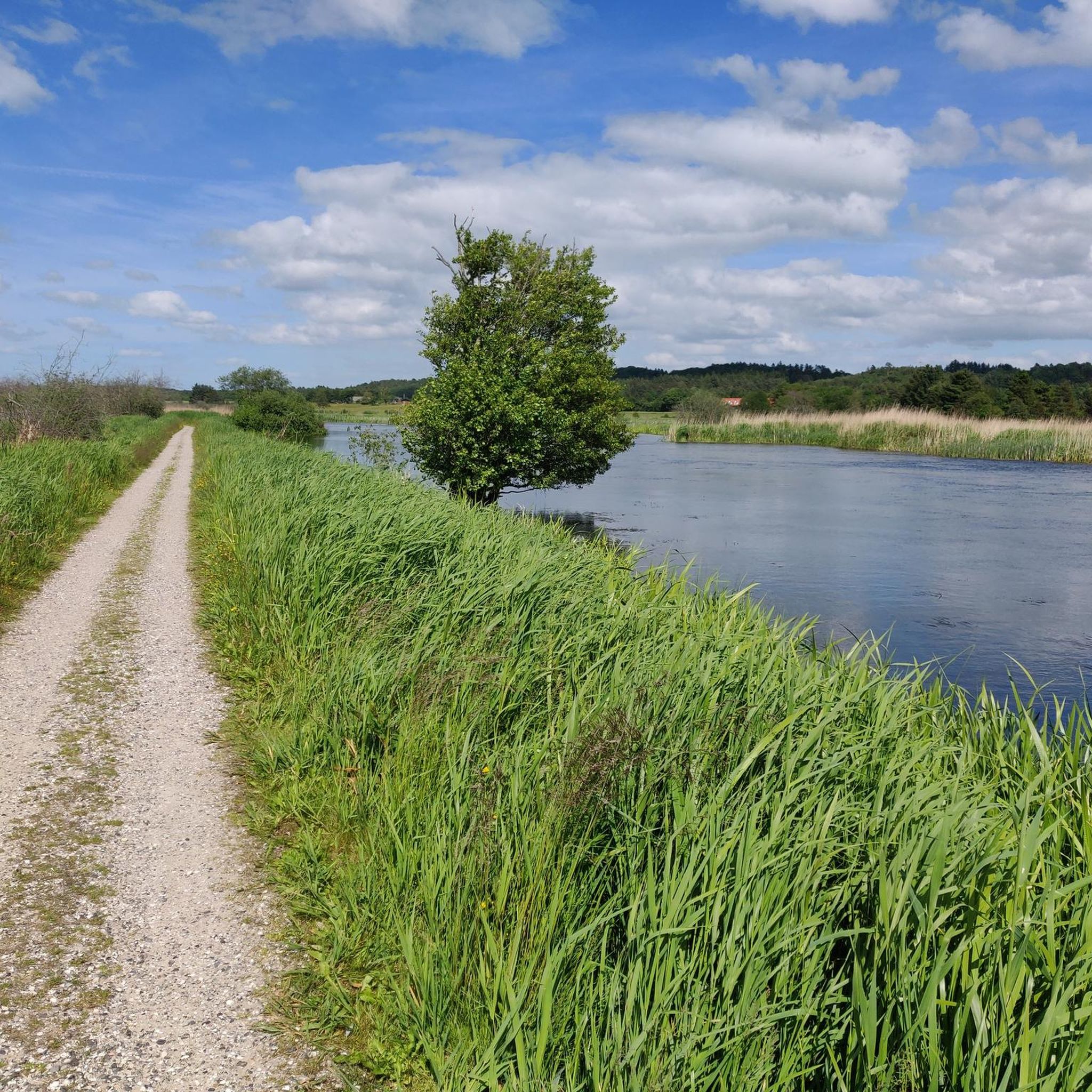
Road cycling around Sminge Sø, located northeast of Silkeborg in Denmark's Lake District Søhøjlandet, offers diverse terrain for cyclists. The region features a mix of rolling hills, deep forests, and marshy reed forests, with the Gudenå River winding through the landscape. Elevated viewpoints like Store Troldhøj provide extensive views over the Gudenå valley and Sminge Sø. This area is known for its well-integrated trail systems and varied topography.
Best road cycling routes around Sminge Sø
- The most popular road cycling…
Last updated: June 26, 2026
8
riders
41.2km
01:51
190m
190m
Moderate road ride. Great for any fitness level. Some segments of this route may be unpaved and difficult to ride.
3
riders
62.5km
02:45
330m
330m
Moderate road ride. Good fitness required. Some segments of this route may be unpaved and difficult to ride.

Sign up for free
5
riders
53.3km
02:19
390m
400m
Moderate road ride. Good fitness required. Some segments of this route may be unpaved and difficult to ride.
5
riders
45.8km
02:04
310m
310m
Moderate road ride. Good fitness required. Mostly well-paved surfaces and easy to ride.
3.0
(1)
3
riders
49.5km
02:10
370m
370m
Moderate road ride. Good fitness required. Some segments of this route may be unpaved and difficult to ride.
Get access to more routes and recommendations from other explorers.
Sign up for free
Already have an account?
Our route recommendations are based on thousands of hikes, rides, and runs completed by other people on komoot.
Start today with a free account
Your next adventure awaits.
Login or Signup
Tips from the Community

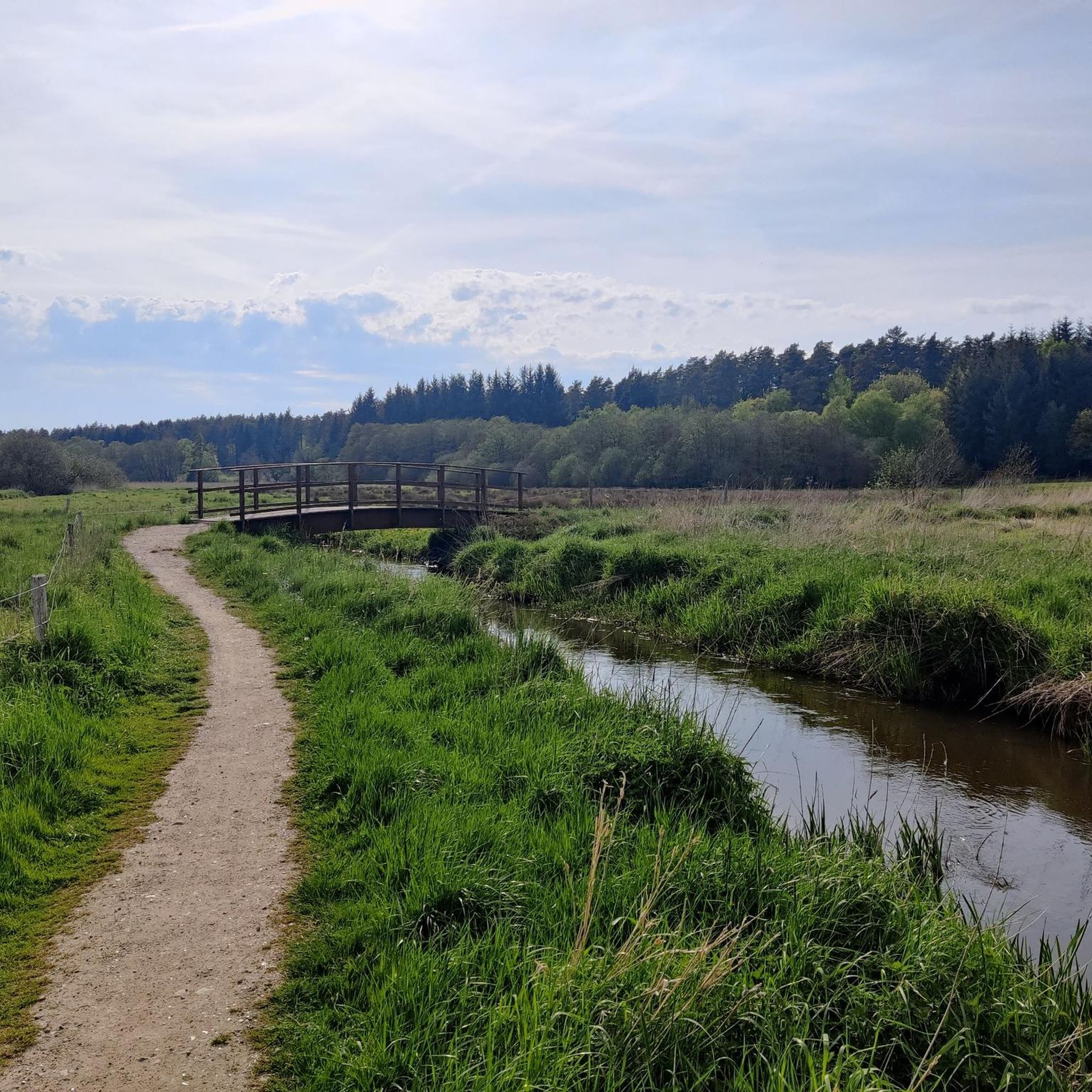
A nice hilly country road in a beautiful area
0
0

Nice break point with supermarket
0
0

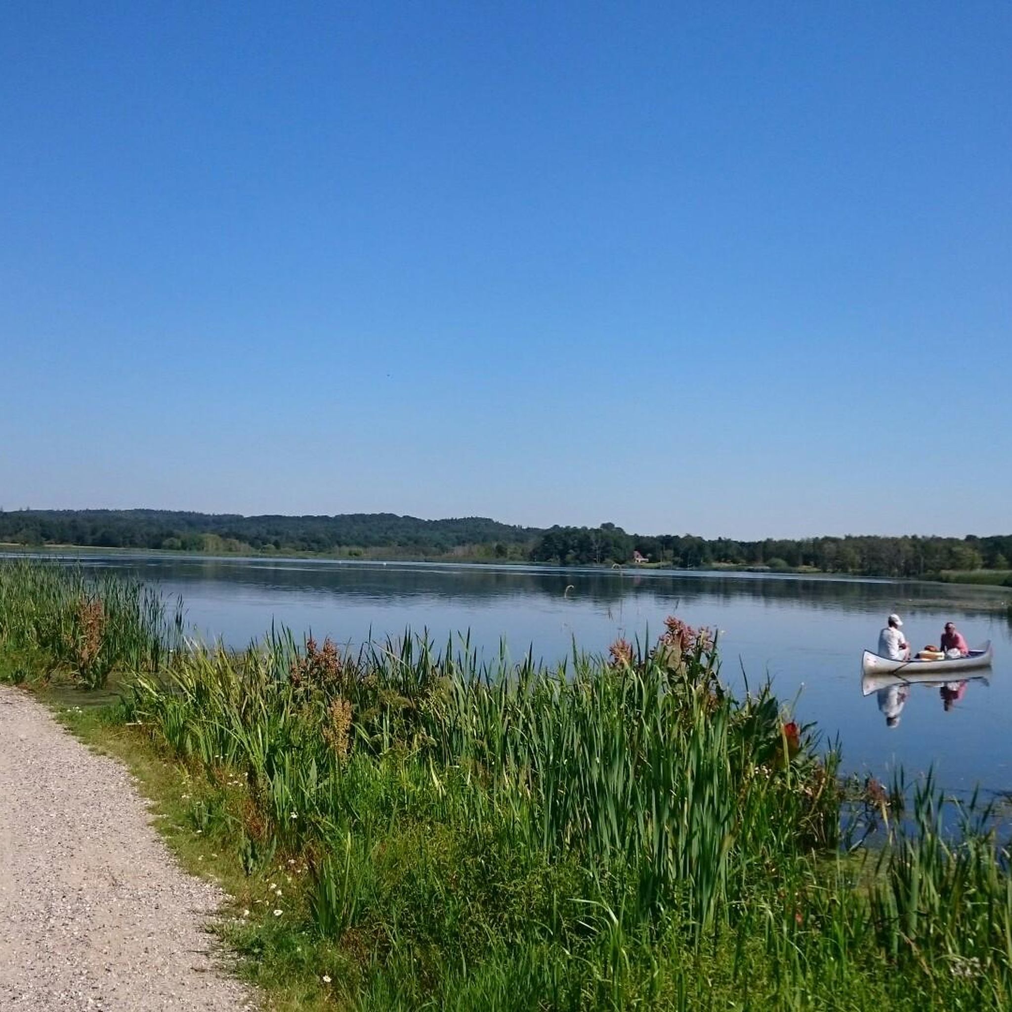
Sminge Lake is a natural and shallow lake that is a key part of the Gudenå River, Denmark's longest river. The river flows directly through the lake, making it a unique stop in the surrounding nature area. With Sminge Forest in the background, the lake is a true haven for birdwatchers, where you might even spot an osprey or a white-tailed eagle fishing. It's an ideal spot to pause and appreciate the undisturbed beauty of this vital Danish wetland.
2
0

With the best bakery far and wide
0
0

North-west of the Funder village, this church has no tower but it's a beautiful building nevertheless. Both the south portal and the north portal are built in Romanesque architecture and the pulpit is in the late Renaissance style.
0
0


Frequently Asked Questions
What kind of terrain can I expect when road cycling around Sminge Sø?
The Sminge Sø area, part of Denmark's Lake District Søhøjlandet, offers a varied road cycling experience. You'll encounter a mix of rolling hills, deep forests, and marshy reed forests. The Gudenå River winds through the landscape, adding to the scenic environment. Routes can range from moderate climbs to more gentle stretches.
Are there routes suitable for beginners or those looking for an easier ride?
Yes, the region offers options for various ability levels. While many routes feature rolling hills, there are 30 easy road cycling routes available around Sminge Sø, providing a gentler experience for beginners or those preferring a less strenuous ride.
What are some notable natural features or viewpoints to look out for on road cycling routes?
Sminge Sø is a natural gem, part of the winding Gudenå River, and is known as a prime bird area where you might spot kingfishers and herons. Elevated viewpoints like Store Troldhøj offer extensive views over the Gudenå valley and Sminge Sø. The area also features the Gjern Bakker (Gjern Hills) and diverse forest landscapes.
How long do road cycling routes typically take around Sminge Sø?
Route durations vary depending on distance and elevation. For example, the popular Nordskoven Forest Path – Silkeborg Nordskov Trailhead loop from P7, which is 41.2 km, typically takes around 1 hour 51 minutes. A longer route like Linå Vesterskovvej Summit – Pier with Riverside Restaurant loop from P7, at 70.5 km, might take closer to 3 hours 20 minutes.
What do other road cyclists say about the routes in Sminge Sø?
The road cycling routes in Sminge Sø are highly regarded by the komoot community, with an average score of 4.7 stars from over 40 reviews. Cyclists often praise the varied terrain, scenic views through forests and along the Gudenå River, and the well-integrated trail systems that make for an enjoyable ride.
Are there any challenging road cycling routes for experienced riders?
Yes, while there are no routes explicitly graded as 'difficult' in the immediate guide data, the region's 'rolling hills' and routes with significant elevation gain, such as the Linå Vesterskovvej Summit – Pier with Riverside Restaurant loop from P7 with over 585 meters of ascent, offer a good challenge for experienced road cyclists.
Is Sminge Sø suitable for family-friendly road cycling?
The broader Gudenåen area, which includes Sminge Sø, features sections of regional cycling routes, including some on disused railways that offer traffic-free cycling. While specific road cycling routes directly around Sminge Sø might have varying traffic, these regional paths can provide safer and more relaxed options suitable for families. Always check individual route details for suitability.
Where can I find parking for road cycling routes around Sminge Sø?
Many routes in the area, such as the Nordskoven Forest Path – Silkeborg Nordskov Trailhead loop from P7 and Pier with Riverside Restaurant – Giant Pink Flower Sculpture loop from P8, indicate starting points from designated parking areas (e.g., P7, P8). It's advisable to check the specific route details on komoot for recommended parking locations.
Are there cafes or places to stop for refreshments along the road cycling routes?
The region around Sminge Sø and Silkeborg is well-developed for outdoor activities. While specific cafes on every route are not detailed, routes like the Linå Vesterskovvej Summit – Pier with Riverside Restaurant loop from P7 mention a 'Pier with Riverside Restaurant', indicating opportunities for refreshments. The wider Silkeborg area also offers various amenities.
What is the best time of year for road cycling in the Sminge Sø area?
While specific seasonal recommendations are not provided, the 'rolling hills, deep forests and sparkling lakes' suggest that spring, summer, and early autumn would offer the most pleasant conditions for road cycling, with milder weather and vibrant natural scenery.
How many road cycling routes are available in the Sminge Sø region?
There are over 80 road cycling routes available in the Sminge Sø region, offering a wide variety of distances and terrains to explore.
Can I reach the Sminge Sø cycling routes using public transport?
The Sminge Sø area is located northeast of Silkeborg. While specific public transport links directly to trailheads are not detailed, Silkeborg itself is accessible by public transport. From there, local bus services or a short ride might connect you closer to the cycling routes. It's best to check local transport schedules for the most up-to-date information.
Most popular routes around Sminge Sø

Get inspired with the komoot mobile app


Explore more
Browse the best Road cycling routes in other regions.
