The best mountain hikes around Čertovo lake
4.8
(70)
441
hikers
30
hikes
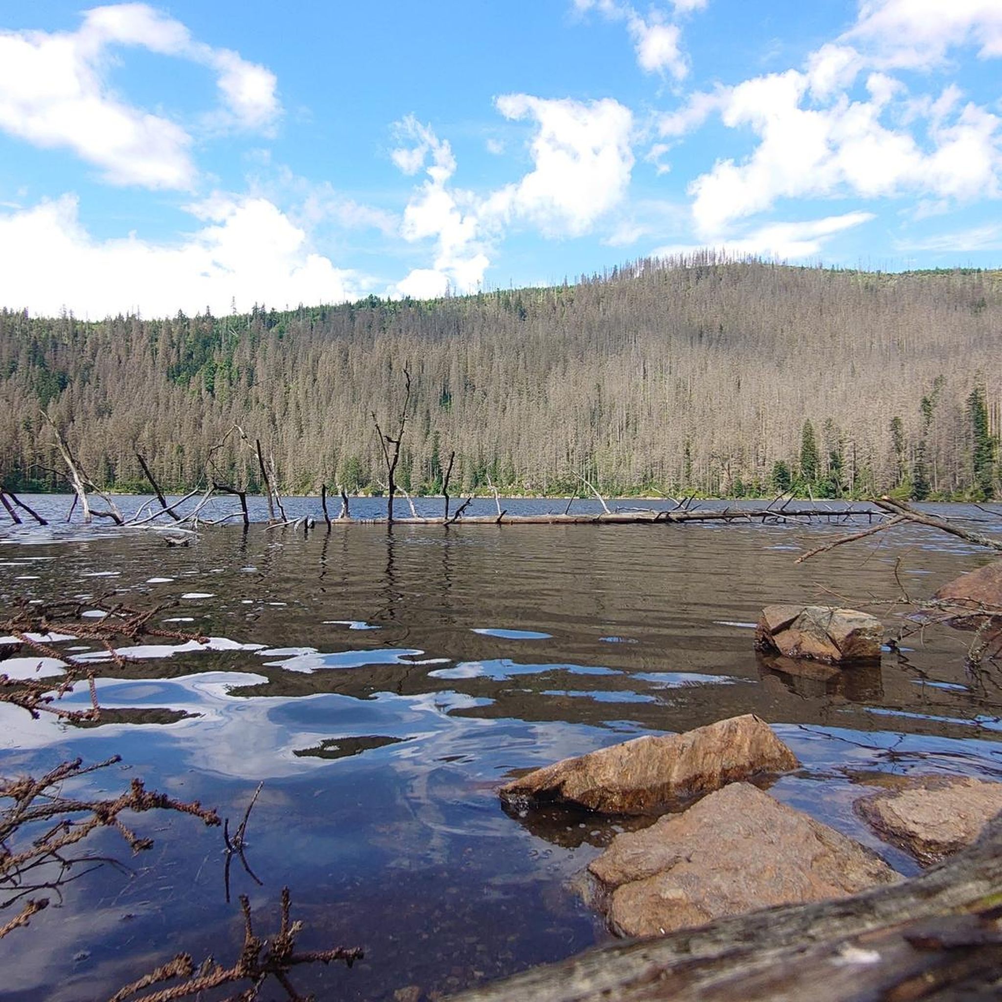
Mountaineering routes around Čertovo lake are situated in a region characterized by mountainous terrain, dense forests, and glacial lakes. The landscape features significant elevation changes, offering varied challenges for mountaineers. Peaks like Svaroh and Jezerní hora provide panoramic views, while the lower slopes are covered in coniferous woodlands. The area's geology contributes to its rugged and diverse mountaineering environment, with some sections exhibiting alpine characteristics.
Best mountaineering routes around Čertovo lake
- The most popular mountaineering route is Svaroh Summit (1334…
Last updated: July 5, 2026
5.0
(1)
9
hikers
5.08km
01:57
270m
270m
Moderate mountaineering route. Great for any fitness level. Mostly accessible paths. Sure-footedness required.
9
hikers
9.96km
03:33
420m
420m
Moderate mountaineering route. Good fitness required. Mostly accessible paths. Sure-footedness required.

Sign up for free
5.0
(2)
4
hikers
22.4km
07:00
770m
770m
Hard mountaineering route. Very good fitness required. Sure-footedness, sturdy shoes and alpine experience required.
4.7
(3)
57
hikers
12.9km
04:28
630m
630m
Moderate mountaineering route. Good fitness required. Mostly accessible paths. Sure-footedness required.
4.0
(8)
62
hikers
8.79km
02:53
400m
400m
Moderate mountaineering route. Good fitness required. Mostly accessible paths. Sure-footedness required.
Get access to more routes and recommendations from other explorers.
Sign up for free
Already have an account?
Our route recommendations are based on thousands of hikes, rides, and runs completed by other people on komoot.
Start today with a free account
Your next adventure awaits.
Login or Signup
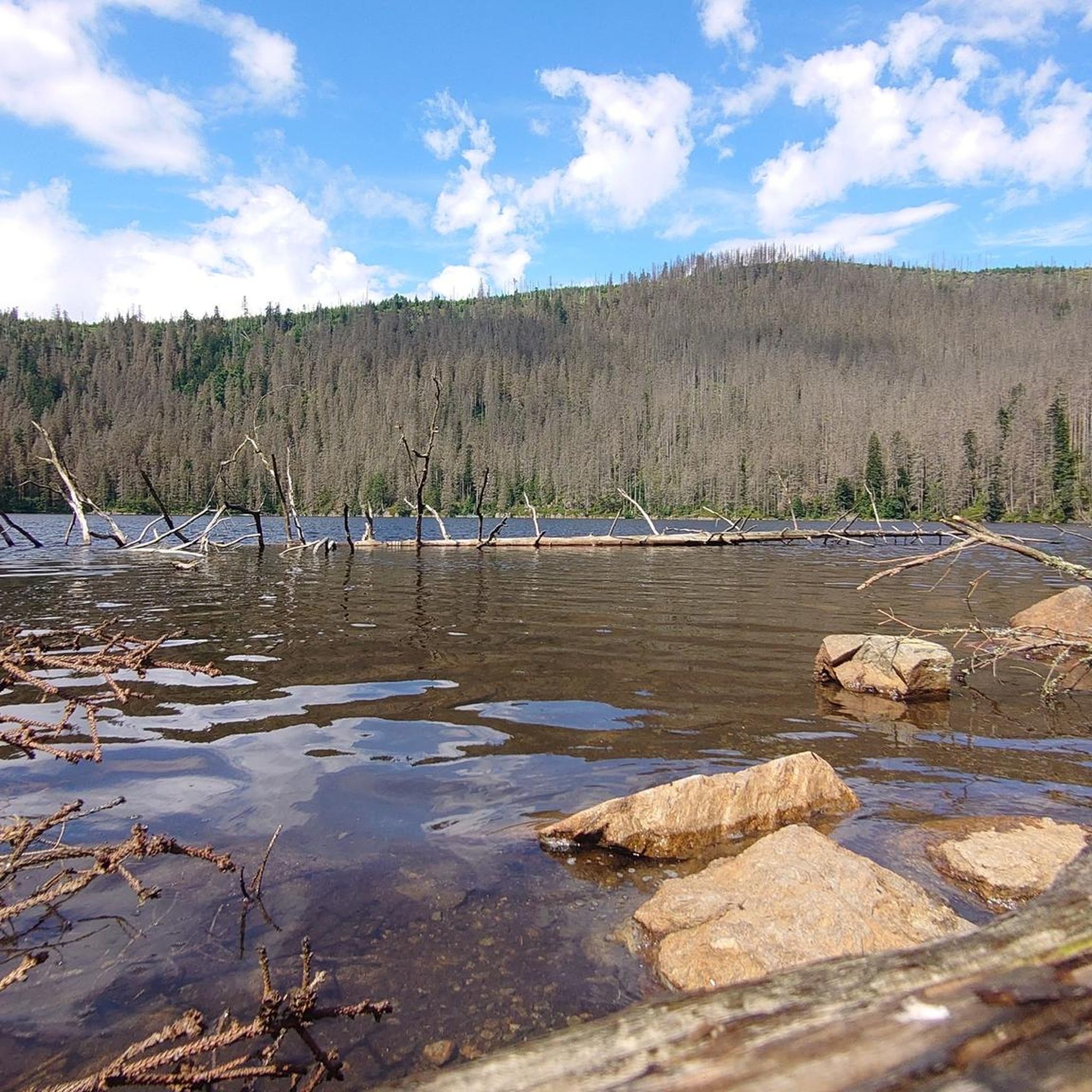
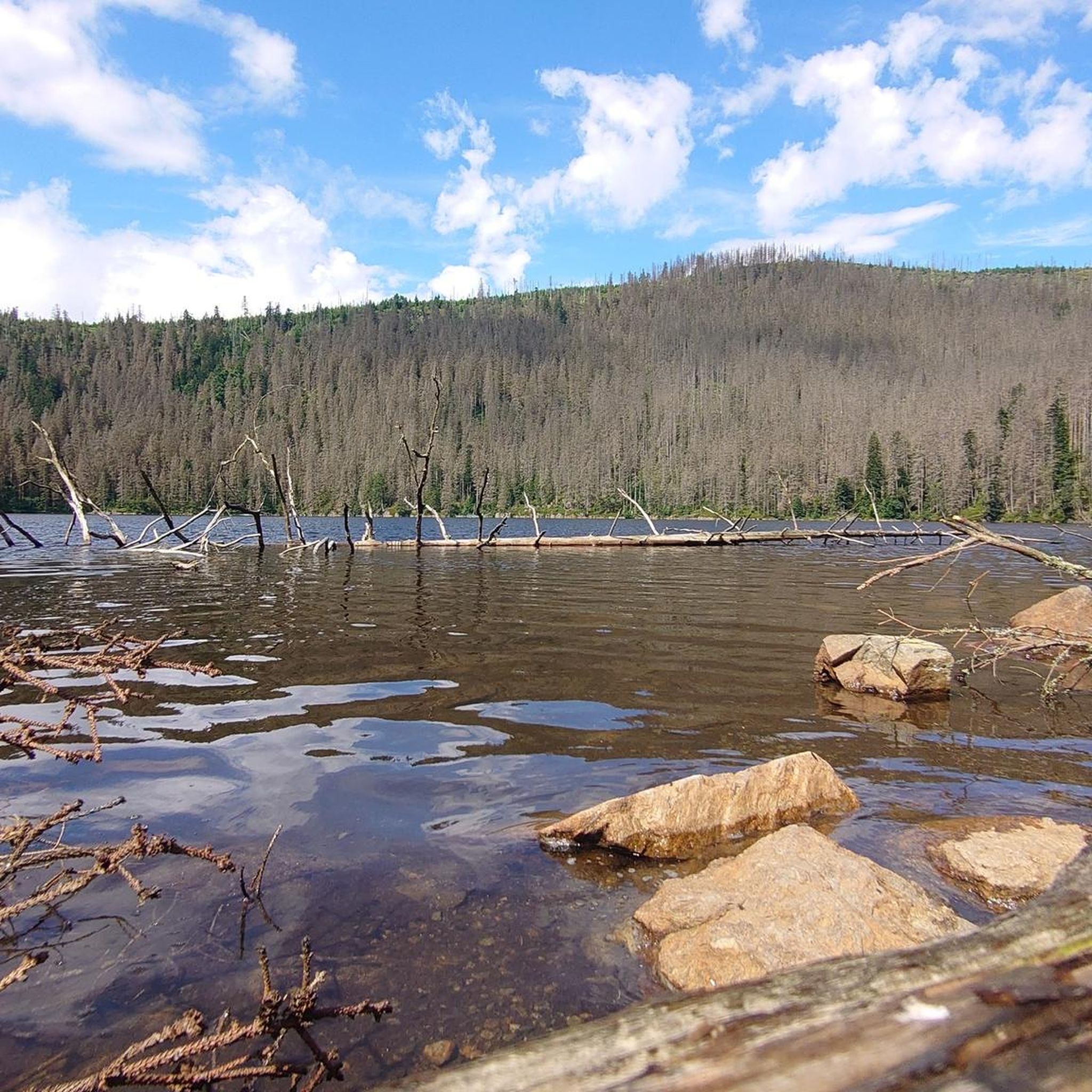
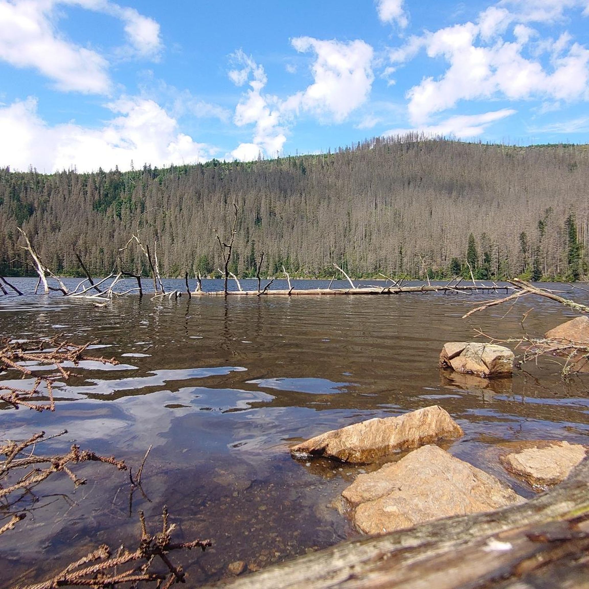
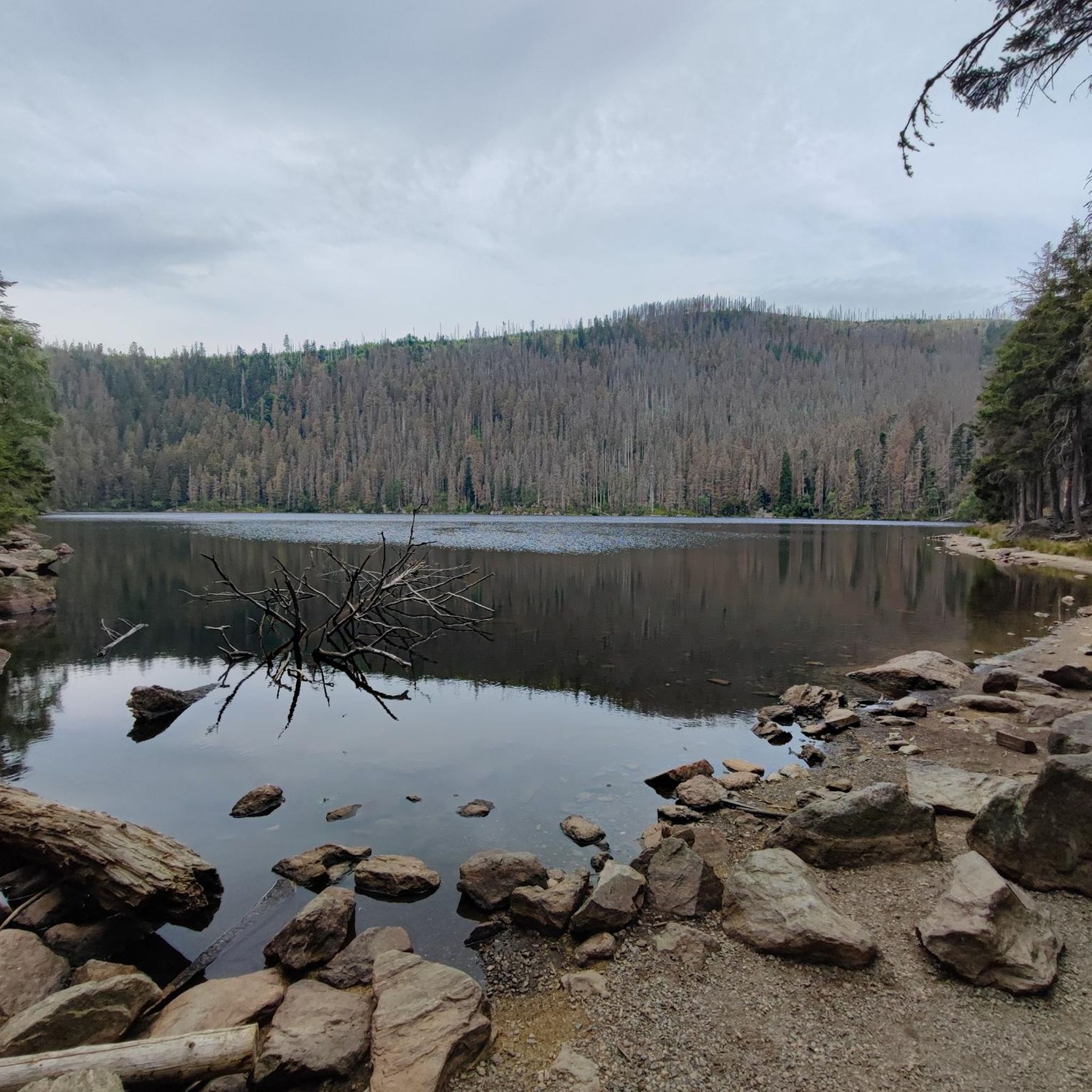
Tips from the Community


The Zwercheck (Czech: Svaroh) is a 1,333-meter-high mountain in the Bohemian Forest (Künische Gebirge), a mountain ridge between Bavaria and Bohemia. The border between Bavaria in Germany and Bohemia in the Czech Republic runs along the ridge. On the broad, open, rounded summit are a meadow and a small rocky outcrop with a summit cross and good views across to the Großer Arber and the Kaitersberg, and down into the Lamer Winkel valley.
5
1

Only pieces of the foundation of the hut are still visible. A plaque tells the history of the hut.
0
0

Another hut directly below the Arberdschutzhaus.
1
0

The border trail is very rocky and every step has to be well placed. Although the terrain is flat, the trail is still strenuous.
0
0
Great summit or rock ridge, beautiful view into the Czech Republic.
0
0
Beautifully painted, the old border guards still had a lot of time. 😂
0
0
Frequently Asked Questions
Are there easy mountaineering routes suitable for beginners around Čertovo lake?
While many routes around Čertovo lake feature significant elevation changes, there are options for those seeking a less strenuous experience. For a moderate introduction, consider the Svaroh Summit (1334 m) – Zwercheck Summit Cross loop from Svaroh, which is 3.2 miles (5.1 km) long and takes about 2 hours. It offers a taste of the region's beauty without extreme difficulty.
Where can I find more challenging mountaineering trails near Čertovo lake?
Čertovo lake is known for its challenging terrain, with 23 difficult routes available. For a demanding expedition, the Great Arber Lake – Arber Chapel loop from Bayerisch Eisenstein is a substantial 14.1 miles (22.7 km) trail with significant elevation gain, typically requiring over 7 hours to complete. This route offers a true test of endurance and stunning views.
Are there family-friendly mountaineering trails suitable for children around Čertovo lake?
For families, routes that are shorter and have less extreme elevation changes are ideal. While specific 'easy' routes are limited, many of the moderate trails can be enjoyed by active families. The Svaroh Summit (1334 m) – Zwercheck Summit Cross loop from Svaroh is a good option, being relatively short at 3.2 miles (5.1 km) and offering rewarding summit views.
Can I bring my dog on mountaineering routes near Čertovo lake?
Yes, dogs are generally welcome on the mountaineering routes around Čertovo lake. However, it's crucial to keep your dog on a leash, especially in forested areas and near wildlife. Always carry enough water for both yourself and your pet, and be mindful of other hikers and local regulations.
Are there circular mountaineering routes available around Čertovo lake?
Many of the mountaineering routes in the Čertovo lake area are designed as loops, allowing you to start and end at the same point. A popular circular option is the Svaroh Summit (1334 m) – Border Trail Osser–Zwercheck loop from Svaroh, which covers 6.2 miles (10.0 km) and offers diverse scenery along border trails.
Is parking available at the trailheads for mountaineering routes?
Yes, for most popular mountaineering routes around Čertovo lake, you will find designated parking areas near the trailheads. It's advisable to arrive early during peak season to secure a spot, especially for routes starting from well-known access points like Svaroh or Neuhütte.
What is the best time of year for mountaineering around Čertovo lake?
The best time for mountaineering around Čertovo lake is typically from late spring (May) through early autumn (October). During these months, the weather is generally more stable, trails are clear of snow, and the forests are vibrant. Summer offers longer daylight hours, while autumn provides stunning foliage.
Are there any less crowded mountaineering routes around Čertovo lake?
To avoid crowds, consider exploring routes during weekdays or outside of peak holiday periods. While the main summits can be popular, longer and more challenging routes, such as the Border Trail Osser–Zwercheck – Stoamandl Stone Sculpture loop from Neuhütte, might offer a more solitary experience due to their length and difficulty.
What should I bring for a mountaineering trip around Čertovo lake?
For mountaineering around Čertovo lake, essential gear includes sturdy hiking boots, weather-appropriate layers (the weather can change quickly in the mountains), a map or GPS device, sufficient water and snacks, a first-aid kit, and sun protection. Poles can be helpful on steeper sections.
Are there any cafes or pubs near the mountaineering routes for refreshments?
While the routes themselves traverse wild mountain terrain, you can often find refreshment options in nearby villages or at specific mountain huts, especially near popular starting points or along well-trafficked trails. It's always a good idea to check opening times in advance.
What do other mountaineers enjoy most about the routes around Čertovo lake?
The mountaineering routes around Čertovo lake are highly rated by the komoot community, with an average score of 4.8 stars from around 80 reviews. Reviewers often praise the challenging summit ascents, the extensive border trails offering panoramic views, and the immersive experience of hiking through dense, ancient forests.
Are there any notable landmarks or points of interest along the mountaineering routes?
The region is rich in natural beauty and unique features. While specific highlights are not detailed for every route, the landscape itself, with its glacial lakes, dense forests, and prominent peaks like Svaroh, offers numerous points of interest. Routes like the Little Arber Lake – Kleiner Arber Summit (1,384 m) loop from Brennes often pass by significant natural formations and offer stunning vistas.
Most popular routes around Čertovo lake

Get inspired with the komoot mobile app


Explore more
Browse the best Mountain Hikes & Routes in other regions.
