The best road cycling routes around Crinitzberg
4.7
(303)
3,086
riders
14
rides
Road cycling around Crinitzberg offers diverse landscapes within the Ore Mountains, characterized by varied terrain and significant elevation changes. The region features routes that follow the Mulde and Zwickauer Mulde rivers, providing both flatter sections and more demanding climbs. This area is known for its natural features, including the Blauenthal Waterfall, and offers a blend of challenging and scenic road cycling routes.
Best road cycling routes around Crinitzberg
- The most popular road cycling route is Wi-Ha-Dukt Pedestrian Bridge – Bockwa…
Last updated: June 26, 2026
4.4
(14)
88
riders
44.5km
01:56
360m
360m
Moderate road ride. Good fitness required. Some segments of this route may be unpaved and difficult to ride.
20
riders
29.6km
01:25
330m
340m
Moderate road ride. Good fitness required. Mostly well-paved surfaces and easy to ride.

Sign up for free
4.0
(2)
9
riders
46.8km
02:11
550m
550m
Moderate road ride. Good fitness required. Mostly well-paved surfaces and easy to ride.
4
riders
57.1km
02:48
760m
760m
Moderate road ride. Good fitness required. Mostly well-paved surfaces and easy to ride.
4
riders
43.7km
02:07
550m
550m
Moderate road ride. Good fitness required. Mostly well-paved surfaces and easy to ride.
Get access to more routes and recommendations from other explorers.
Sign up for free
Already have an account?
Our route recommendations are based on thousands of hikes, rides, and runs completed by other people on komoot.
Start today with a free account
Your next adventure awaits.
Login or Signup
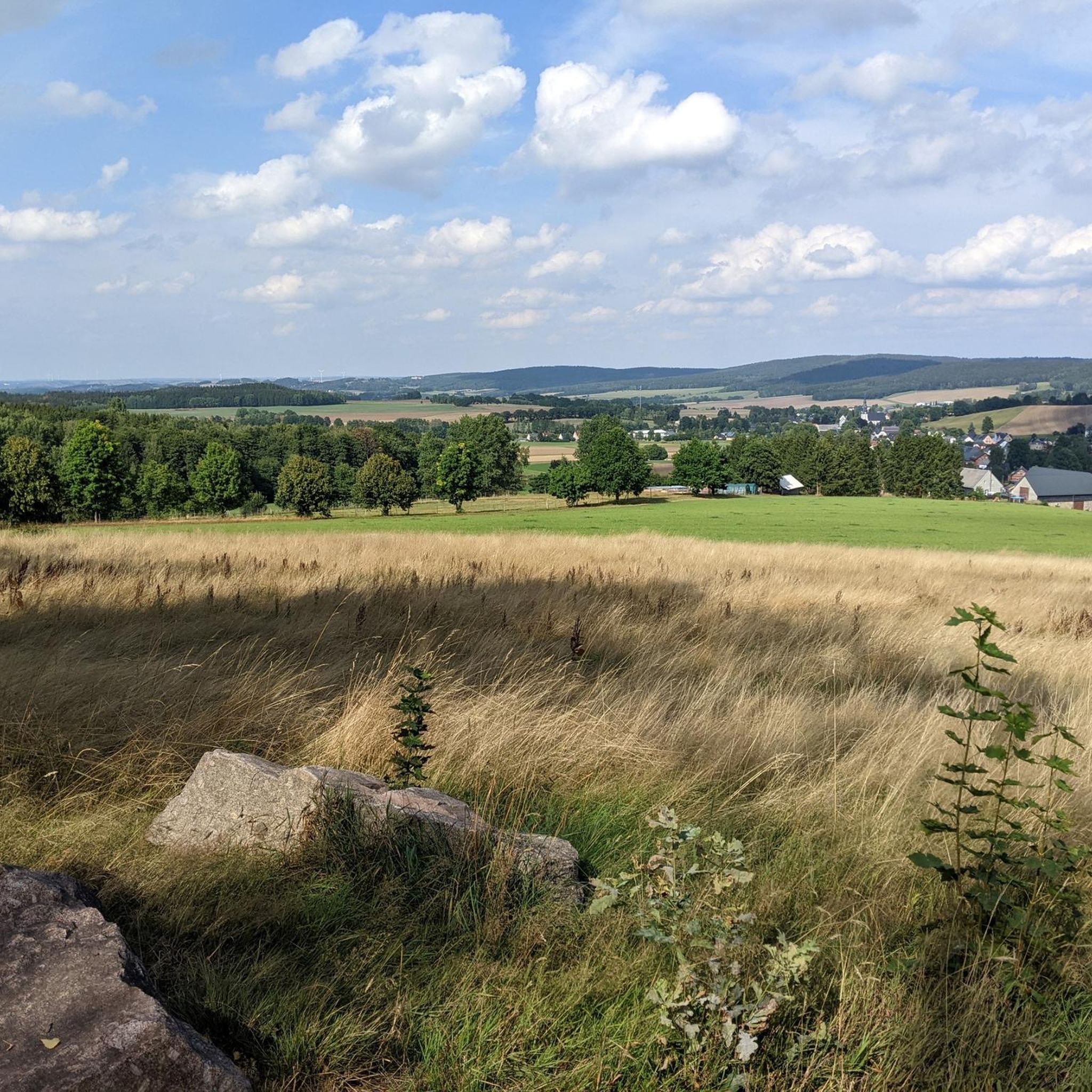
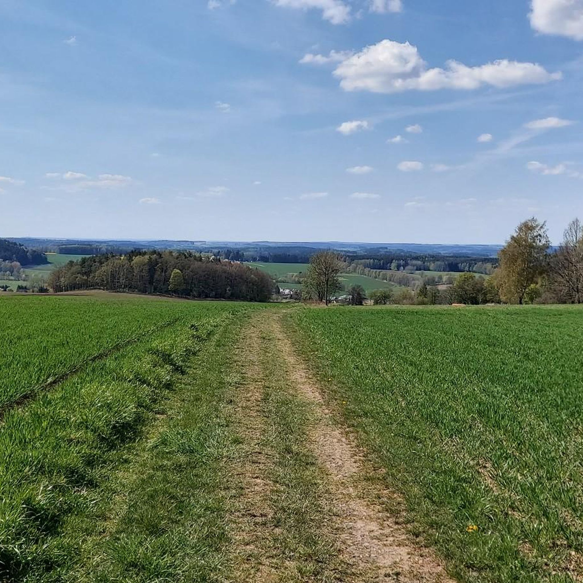
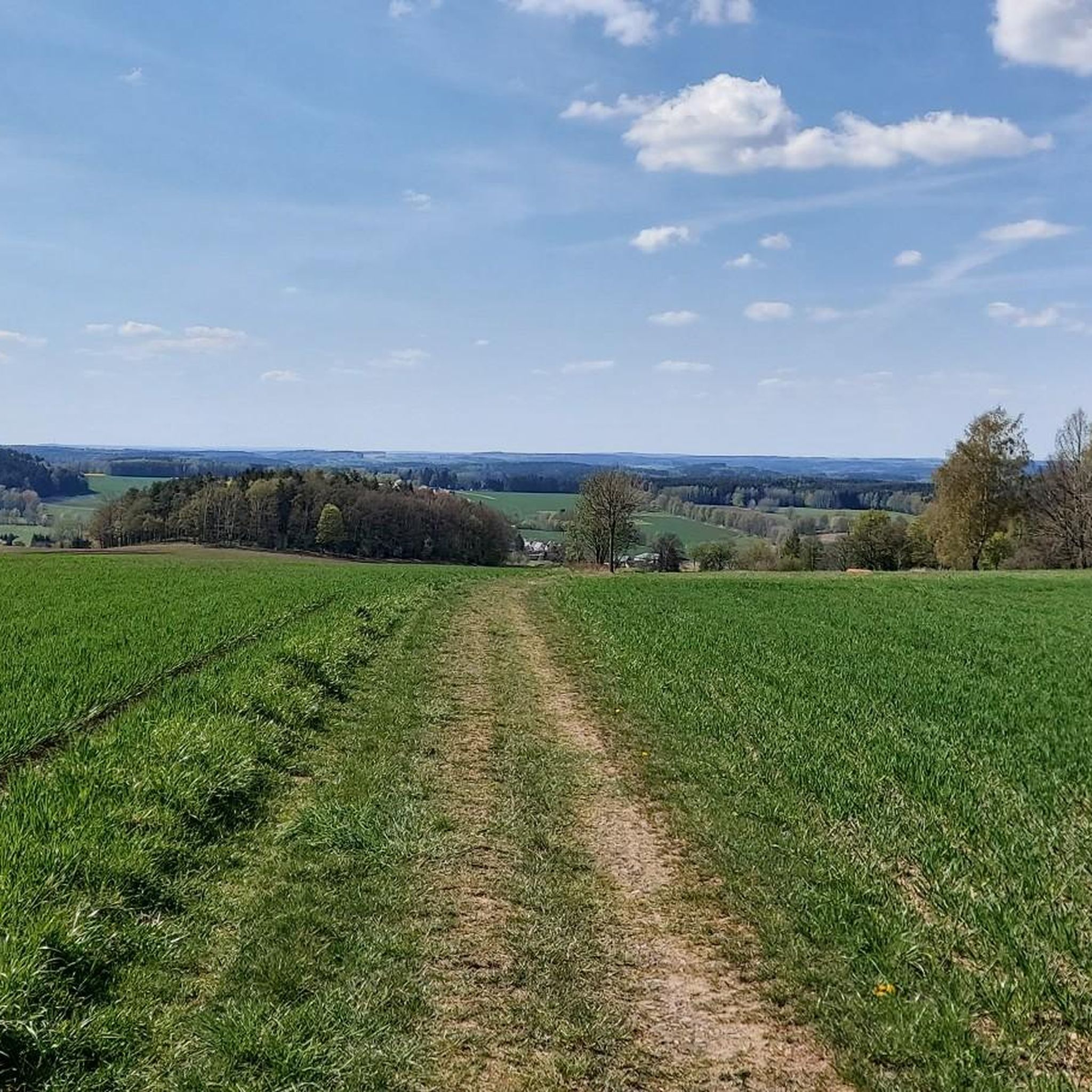
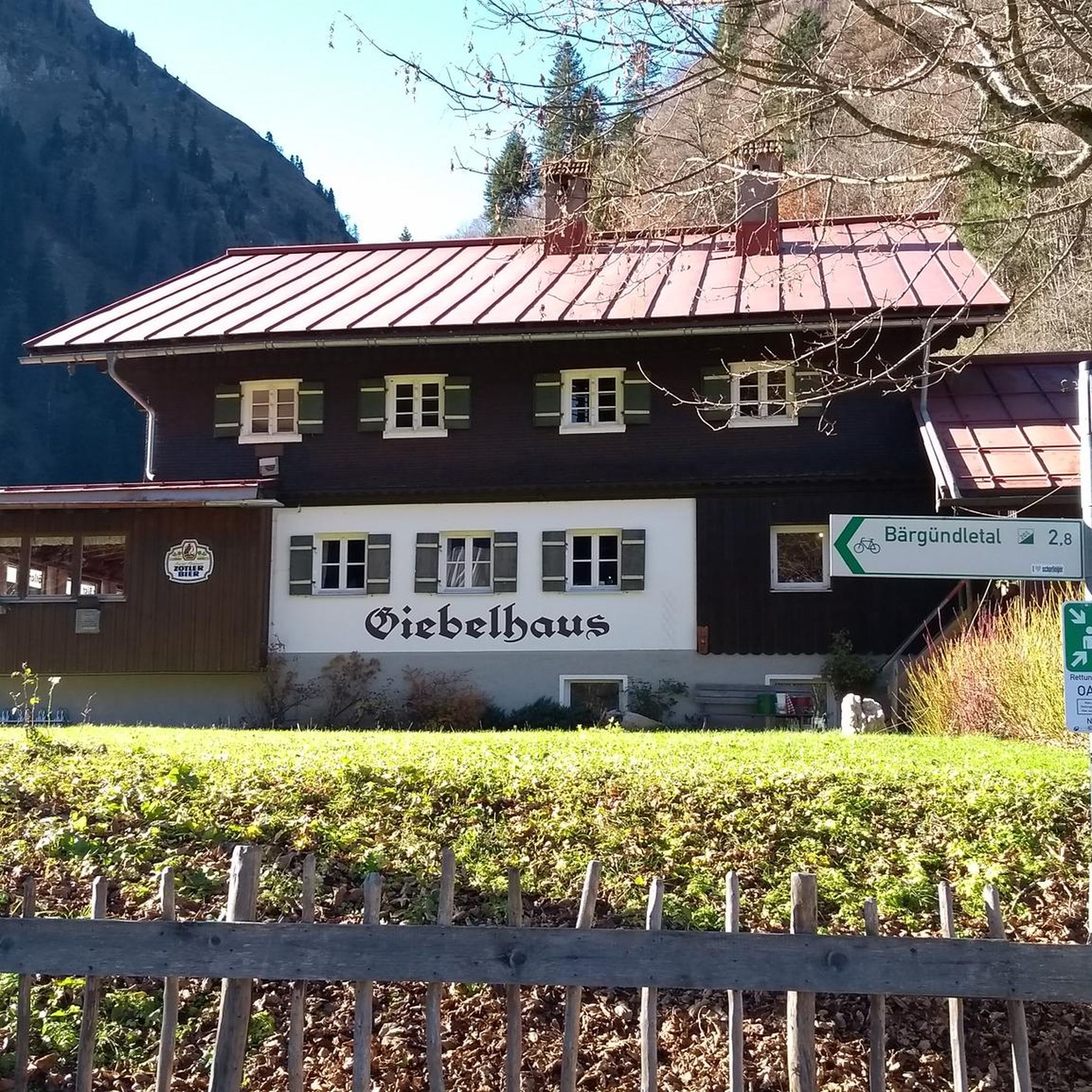
Tips from the Community

It's simply breathtakingly beautiful here 😊.
0
0

Great restaurant with a super beer garden.
0
0

Nice point. Stop, find some peace, light a candle, write in your logbook...
0
0

really delicious ice cream made with real fruits and not with flavors, you can taste it
0
0

I can only confirm @Ralf GLÜCK AUF's recommendation. Here, the guest is still king; greetings and farewells are greeted with a handshake. Very good food and a great atmosphere.
0
0

A hall church from 1716. A turret with a lantern. Inside, a baptismal angel from 1728.
0
0
It's always a beautiful, idyllic destination, especially popular in summer. The ice cream van occasionally stops by. There's a large parking lot, as well as several seating areas and a sandy swimming area. The campsite is located directly behind it.
0
0

Frequently Asked Questions
What kind of road cycling terrain can I expect around Crinitzberg?
Crinitzberg, nestled in the Ore Mountains, offers a diverse range of road cycling terrain. You'll find routes that follow the scenic Mulde and Zwickauer Mulde rivers, providing flatter sections ideal for a more relaxed ride. For those seeking a challenge, the region also features routes with significant elevation changes and demanding climbs, particularly towards areas like Auersberg.
How many road cycling routes are available in the Crinitzberg area?
There are around 15 dedicated road cycling routes in the Crinitzberg area that you can explore. These routes cater to various preferences, from moderate loops to more challenging ascents, all within the beautiful landscape of the Ore Mountains.
Are there any family-friendly road cycling options in Crinitzberg?
While many routes in Crinitzberg feature moderate elevation changes, the region offers sections that are suitable for families. The Mulde Cycle Path, for instance, is built on a former railway line and boasts a moderate gradient, making it a pleasant and shaded option for a less strenuous ride.
What are some notable natural attractions to see while road cycling in Crinitzberg?
The Crinitzberg area is rich in natural beauty. A must-see is the Blauenthal Waterfall, Saxony's highest waterfall, which offers a dramatic spectacle, especially on holidays and Sundays when the water is diverted. The region also features picturesque river valleys and the charming scenery of the Ore Mountains.
Are there any circular road cycling routes around Crinitzberg?
Yes, many of the road cycling routes around Crinitzberg are designed as loops, allowing you to start and finish in the same location. For example, the Wi-Ha-Dukt Pedestrian Bridge – Bockwa Church loop from Crinitzberg is a popular moderate route that brings you back to your starting point.
What do other road cyclists say about the routes in Crinitzberg?
The road cycling routes in Crinitzberg are highly regarded by the komoot community, holding an impressive average rating of 4.7 stars from over 250 reviews. More than 2,900 road cyclists have already explored the varied terrain, often praising the scenic beauty and diverse cycling experiences available.
Can I find routes with significant climbs for advanced road cyclists?
Absolutely. While many routes are moderate, the mountainous terrain of the Ore Mountains around Crinitzberg provides opportunities for more demanding climbs. Areas near Auersberg, for instance, are known for offering significant elevation changes, catering to advanced road cyclists seeking a challenge.
Are there any historical landmarks or points of interest along the road cycling routes?
Yes, the region offers interesting historical points. You might encounter the Old Bockau railroad tunnel, an intriguing architectural feature. Additionally, the Töllescher Graben, which feeds the Blauenthal Waterfall, is a historical ditch originally built to power paper factory turbines.
What is the best time of year for road cycling in Crinitzberg?
The diverse landscapes of Crinitzberg are enjoyable throughout the warmer months. Spring and autumn offer pleasant temperatures and vibrant scenery, while summer provides longer daylight hours. It's always a good idea to check local weather conditions before heading out, especially if planning rides with significant elevation.
Are there any longer road cycling routes for endurance training?
Yes, Crinitzberg offers several longer routes suitable for endurance training. For example, the Thoßfell Forebay – Thossfell Forebay loop from Crinitzberg covers over 56 kilometers, providing a substantial ride with considerable elevation gain.
What is the typical difficulty level of road cycling routes in Crinitzberg?
The majority of road cycling routes in Crinitzberg are classified as moderate, making them accessible to a wide range of cyclists. Out of the 15 available routes, 14 are moderate, with one route offering a more difficult challenge for experienced riders.
Most popular routes around Crinitzberg
Most popular attractions around Crinitzberg

Get inspired with the komoot mobile app


Explore more
Browse the best Road cycling routes in other regions.
