The best cycling routes around Saint-Lambert-de-Lauzon
4.6
(52)
384
riders
15
rides
Touring cycling routes around Saint-Lambert-de-Lauzon traverse the scenic Chaudière-Appalaches region, characterized by the Chaudière River valley and expansive agricultural landscapes. The terrain generally features an average elevation between 120 and 150 meters, offering accessible routes for various fitness levels. Cyclists can experience views of the river, fields, and distant landmarks like Château Frontenac and Quebec City. The area provides a blend of dedicated cycling infrastructure and natural features.
Best touring cycling routes around Saint-Lambert-de-Lauzon
- The most popular touring cycling route…
Last updated: July 1, 2026
4.9
(19)
86
riders
98.8km
05:44
510m
510m
Hard bike ride. Very good fitness required. Mostly paved surfaces. Suitable for all skill levels.
4.3
(3)
32
riders
51.5km
02:58
220m
220m
Moderate bike ride. Good fitness required. Mostly paved surfaces. Suitable for all skill levels.

Sign up for free
5.0
(1)
30
riders
Moderate bike ride. Good fitness required. Mostly paved surfaces. Suitable for all skill levels.
28
riders
Easy bike ride. Great for any fitness level. Mostly paved surfaces. Suitable for all skill levels.
5
riders
57.1km
03:22
300m
300m
Moderate bike ride. Good fitness required. Mostly paved surfaces. Suitable for all skill levels.
Get access to more routes and recommendations from other explorers.
Sign up for free
Already have an account?
Our route recommendations are based on thousands of hikes, rides, and runs completed by other people on komoot.
Start today with a free account
Your next adventure awaits.
Login or Signup
Popular around Saint-Lambert-de-Lauzon
Tips from the Community

It is actually the Etchemin River.
0
0

The Parcours des Anses crosses the Etchemin River on a dedicated pedestrian and cycling bridge just before the river meets the St. Lawrence. It’s a pleasant crossing with views along the river and toward the waterfront. After crossing to the southwest side, you’ll reach Parc Aline-Welsh-Murphy, a convenient stop along the trail with useful facilities including public toilets, a water fountain, and picnic areas.
0
0
This viewpoint along the Parcours des Anses offers one of the best views across the St. Lawrence River toward Quebec City. From here you can clearly see the skyline of Old Québec, including the Château Frontenac rising above the historic fortifications. The wide river in the foreground and ships passing along the channel add to the scene, making this a great place to pause along the trail and take in one of the most iconic views in the region.
0
0

Everything is beautiful except the bridge which makes you dizzy :)
0
0

The view of Quebec City from the south bank of the river is magnificent.
0
0
Safe and beautiful view very pleasant
0
0

Super nice asphalt trail - long and safe. I haven't managed to do it all the way to Armagh Falls from Levis (120 km) yet - maybe one day.
0
0
Frequently Asked Questions
What is the general terrain like for touring cycling around Saint-Lambert-de-Lauzon?
The terrain around Saint-Lambert-de-Lauzon is generally flat, with an average elevation between 120 and 150 meters. This makes it accessible for cyclists of varying fitness levels while still offering engaging rides through the scenic Chaudière River valley and expansive agricultural landscapes.
Are there many touring cycling routes available in Saint-Lambert-de-Lauzon?
Yes, komoot offers 15 touring cycling routes around Saint-Lambert-de-Lauzon. These routes cater to various skill levels, including 4 easy, 10 moderate, and 1 difficult option.
Are there any family-friendly touring cycling routes in the area?
Yes, the generally flat terrain and dedicated cycling paths like sections of the Véloroute de la Chaudière make Saint-Lambert-de-Lauzon suitable for family cycling. You can find several easy and moderate routes that are great for a relaxed outing with children.
What kind of views can I expect on touring cycling routes near Saint-Lambert-de-Lauzon?
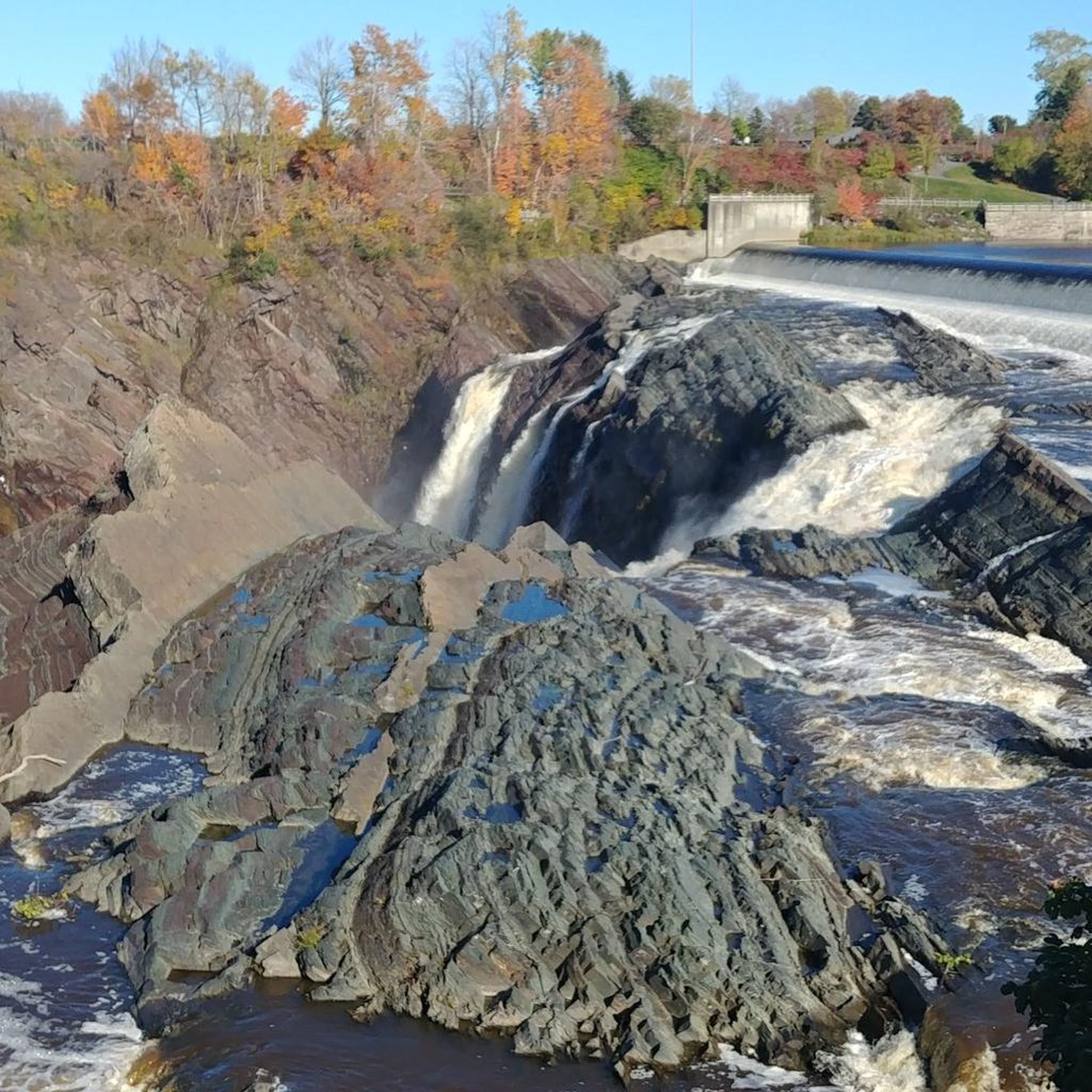
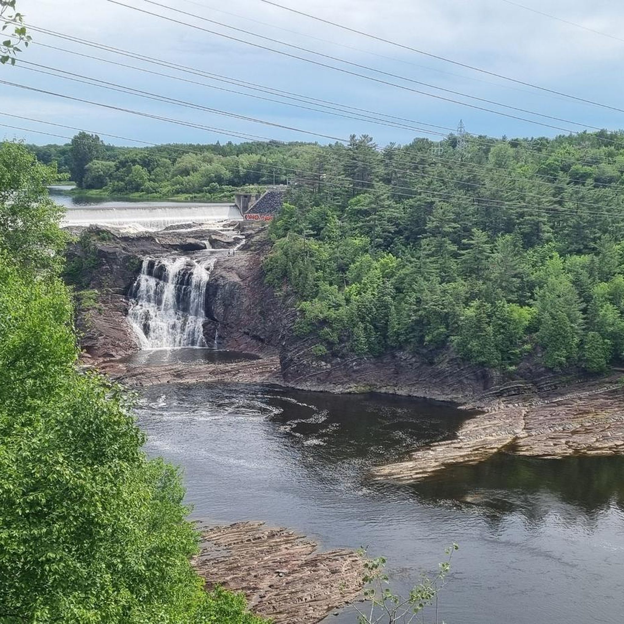
Cyclists can enjoy diverse views, including the picturesque Chaudière River, vast agricultural fields, and woodlands. Some routes even offer impressive distant vistas of iconic landmarks such as the majestic Château Frontenac and Quebec City, as well as the impressive Chaudière Falls.
Are there any circular touring cycling routes available?
Yes, there are several circular routes. For example, the moderate Bike loop from Saint-Bernard offers a 51.5 km ride through the rural scenery of the Beauce region. Another option is the 22 km Route loop from Charny, a moderate 57.1 km tour.
What are some notable natural features or parks to explore along the cycling routes?
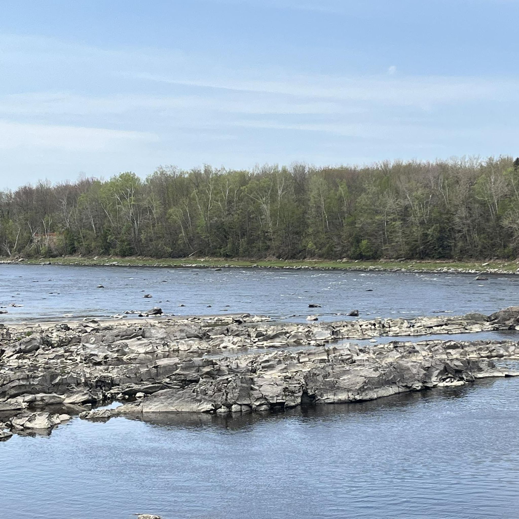
The dominant natural feature is the Chaudière River, which many routes follow. You can also find local parks like Parc du Détroit de la Chaudière and Halte-Nature Belle-Vue, both offering incredible river views, picnic spots, and access for water activities. The agricultural hinterland also provides a peaceful, authentic rural experience.
Can I access touring cycling routes using public transport in Saint-Lambert-de-Lauzon?
While Saint-Lambert-de-Lauzon itself is a smaller municipality, the broader region is served by public transport options like the Société de transport de Lévis (STL). It's advisable to check their specific policies regarding bikes on buses if you plan to use public transport to reach the starting points of routes.
Where can I find parking for touring cycling routes in Saint-Lambert-de-Lauzon?
Many routes start from towns or parks where public parking is available. For instance, areas near Parc du Détroit de la Chaudière or Halte-Nature Belle-Vue often provide convenient parking options for cyclists looking to explore the Véloroute de la Chaudière or other local trails.
What do other touring cyclists say about the routes in Saint-Lambert-de-Lauzon?
The touring cycling routes in Saint-Lambert-de-Lauzon are highly rated by the komoot community, with an average score of 4.6 stars from over 45 reviews. Cyclists often praise the scenic river views, the peaceful agricultural landscapes, and the accessibility of the generally flat terrain.
Are there any longer touring cycling routes for experienced riders?
Yes, for experienced riders seeking a longer challenge, the difficult View of Château Frontenac – Viewpoint of Québec City loop from Charny is a substantial 98.8 km route that offers panoramic views of Quebec City and its iconic landmarks.
Are there routes that offer views of the Quebec Bridge?
Yes, you can find routes that provide views of the historic Quebec Bridge. A moderate option is the Quebec Bridge – View of Château Frontenac loop from Saint-Jean-Chrysostome, which is 36.9 km long and leads through varied landscapes.
Can I find routes that feature the Chaudière Falls?
Absolutely. The View of Chaudière Falls – Quebec Bridge loop from Charny is a moderate 45.6 km route that allows you to experience impressive views of the Chaudière Falls, a significant natural landmark in the region.
Most popular routes around Saint-Lambert-de-Lauzon

Get inspired with the komoot mobile app


Explore more
Browse the best Cycling routes in other regions.
