The best MTB trails around Sainte-Anne-de-Beaupré
5.0
(1)
100
riders
6
rides
Mountain biking around Sainte-Anne-de-Beaupré offers diverse landscapes, from the foothills of the Laurentian Mountains to the Saint Lawrence River. The region is characterized by varied terrain, including extensive trail networks centered around Mont-Sainte-Anne. Riders can expect significant elevation changes and a mix of natural features, providing a dynamic environment for mountain biking. This area is known for its well-established trail systems catering to different skill levels.
Best mountain bike trails around Sainte-Anne-de-Beaupré
- The most popular mountain bike trail is Mont Sainte-Anne – Parc du Mont-Sainte-Anne loop from Mont-Sainte-Anne, a 21.1 miles (33.9 km) trail that takes 3 hours 34 minutes to complete. This difficult route offers varied terrain within the renowned Mont-Sainte-Anne network.
- Another top favourite among local mountain bikers is Mont Sainte-Anne loop from Beaupré, a difficult 34.7 miles (55.9 km) path. This route provides extensive riding through the Laurentian foothills with significant elevation gain.
- Local mountain bikers also love the Canyon Sainte-Anne loop from Restaurant l'Anecdote, a 41.6 miles (67.0 km) trail leading through the area surrounding the impressive Canyon Sainte-Anne, often completed in about 3 hours 51 minutes.
- Mountain biking around Sainte-Anne-de-Beaupré is defined by the Laurentian Mountains, the Saint Lawrence River, and the extensive trail networks of Mont-Sainte-Anne. The region offers options for moderate to difficult routes, accommodating various ability levels.
- The routes in Sainte-Anne-de-Beaupré are highly rated by the komoot community with an average score of 5.0 stars from over 2 reviews. More than 137 mountain bikers have used komoot to explore Sainte-Anne-de-Beaupré's varied terrain.
Last updated: October 7, 2026
65
riders
34.5km
03:37
850m
850m
Hard mountain bike ride. Good fitness required. Advanced riding skills necessary. Some portions of the route may require you to push your bike.
22
riders
56.1km
05:48
1,490m
1,490m
Hard mountain bike ride. Very good fitness required. Advanced riding skills necessary. Some portions of the route may require you to push your bike.

5.0
(1)
6
riders
57.6km
04:58
1,000m
1,000m
Hard mountain bike ride. Very good fitness required. Advanced riding skills necessary. Some portions of the route may require you to push your bike.
3
riders
24.6km
02:34
580m
580m
Hard mountain bike ride. Good fitness required. Advanced riding skills necessary. Some portions of the route may require you to push your bike.
2
riders
19.4km
01:49
480m
480m
Hard mountain bike ride. Good fitness required. Advanced riding skills necessary. Some portions of the route may require you to push your bike.
Our route recommendations are based on thousands of hikes, rides, and runs completed by other people on komoot.
Start today with a free account
Your next adventure awaits.
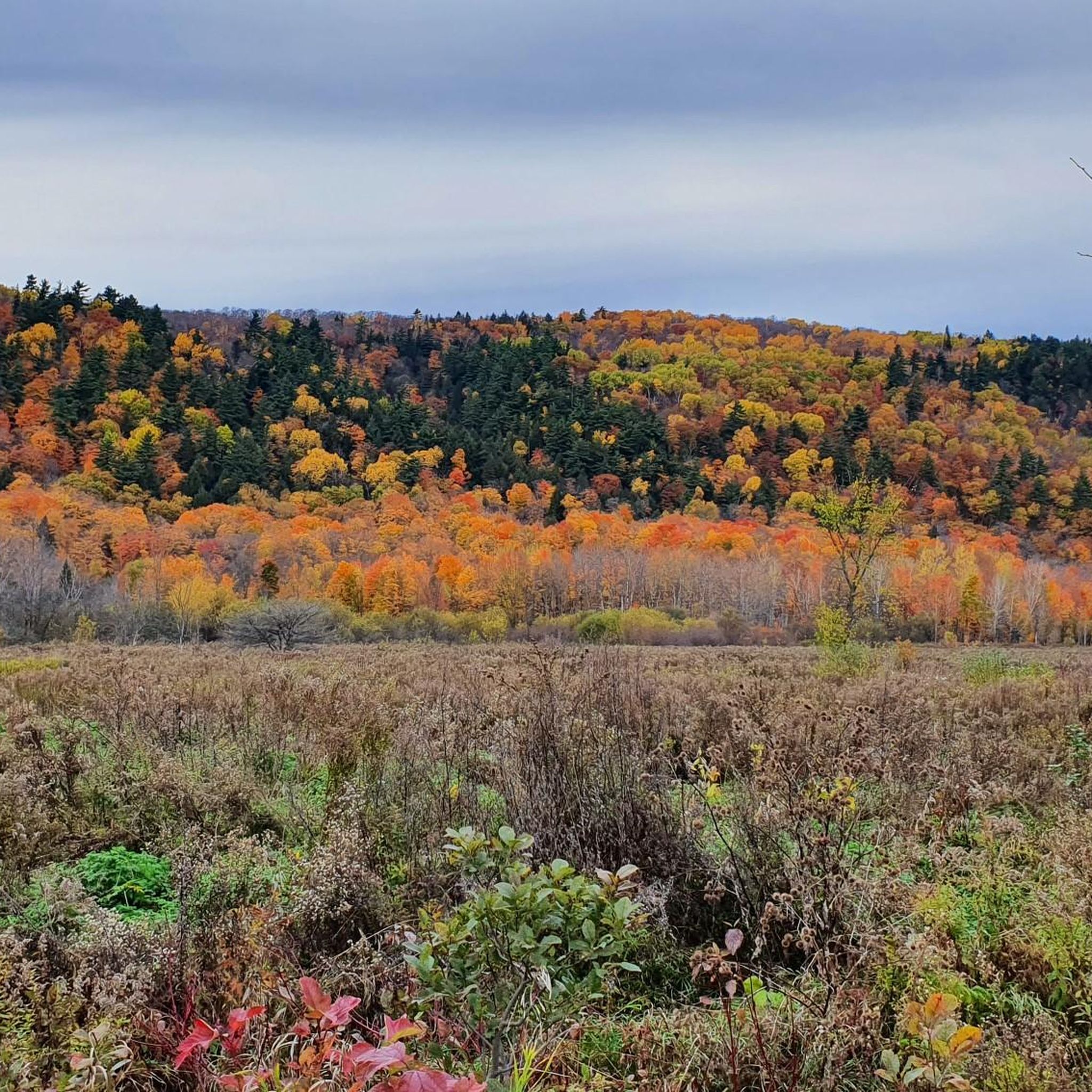
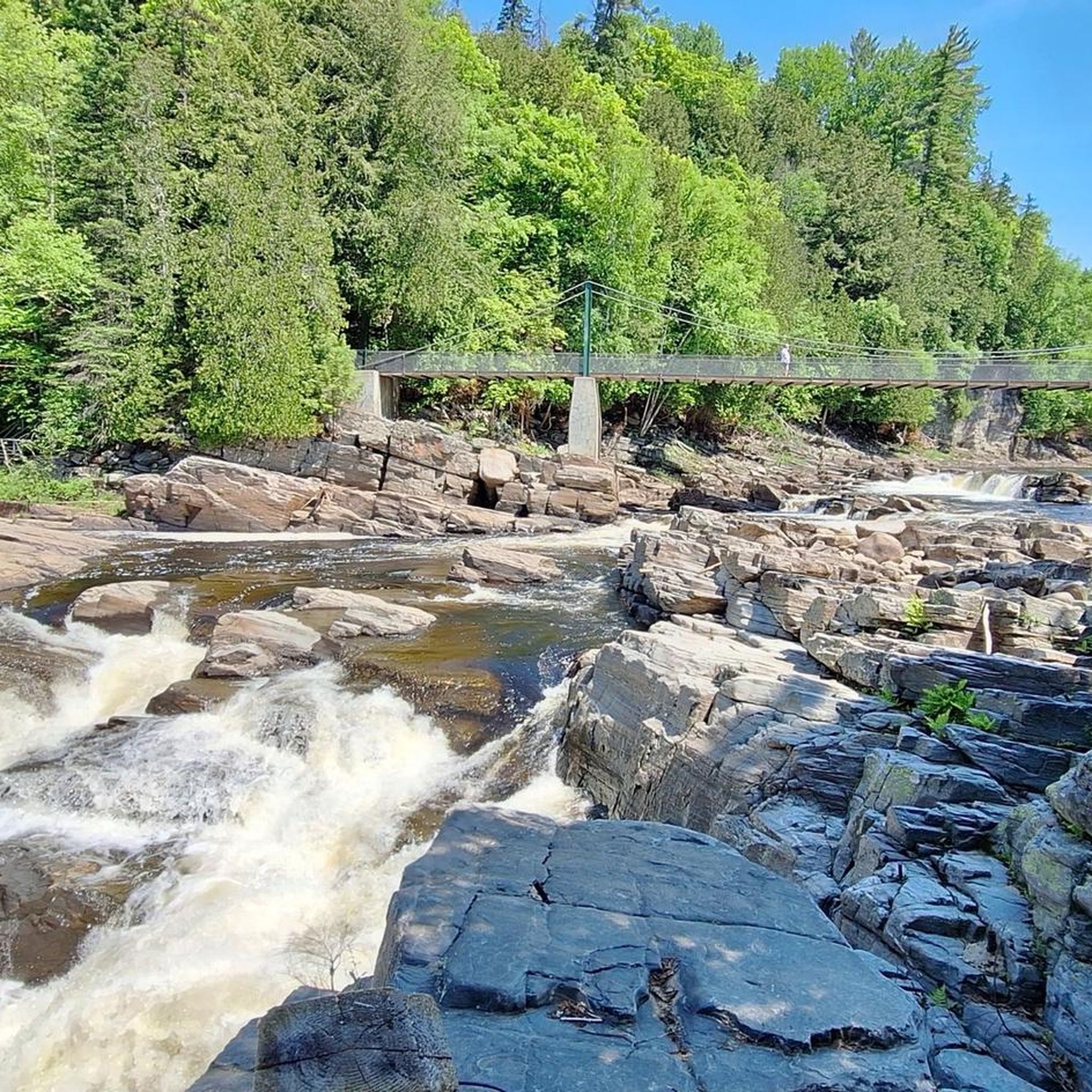
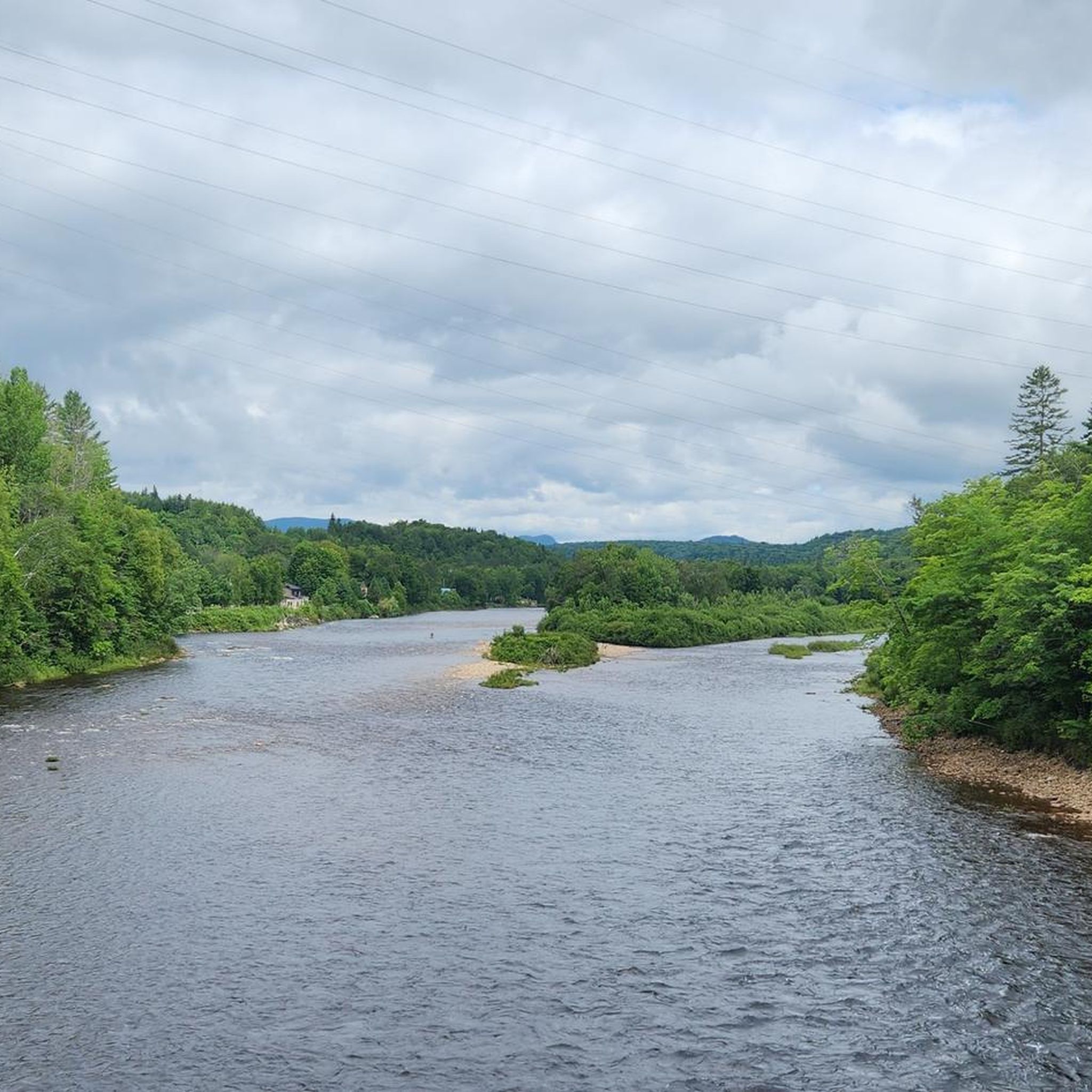
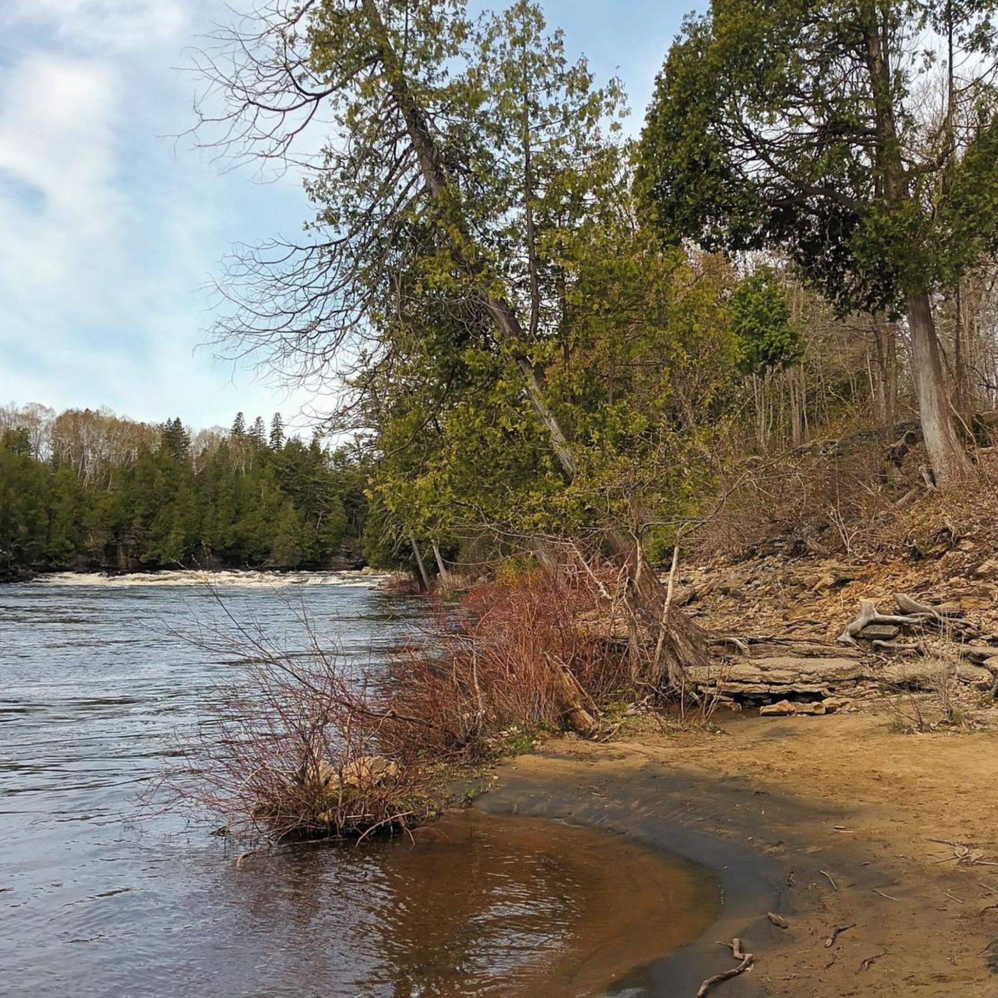
Tips from the Community

Here at the base of Mont-Sainte-Anne you'll find everything you'd expect from a mountain resort. There are plenty of restaurants, bars, and hotels for visitors as well as a golf course, sporting goods store, and plenty of parking.
0
0
Located only 40 kilometres north of Quebec City, Mont-Sainte-Anne is a popular winter and summer destination. In winter skiing and snowboarding dominate the slopes, while summer sees hikers and mountain bikers take over. Standing at just over 800 metres high you'll have a great view any time of year, weather permitting of course.
0
0
Frequently Asked Questions
How many mountain bike trails are available in Sainte-Anne-de-Beaupré?
Sainte-Anne-de-Beaupré offers a selection of 7 mountain bike routes on komoot, ranging from moderate to difficult. These trails are primarily centered around the extensive network of Mont-Sainte-Anne, providing diverse options for riders.
What kind of terrain can I expect on mountain bike trails in Sainte-Anne-de-Beaupré?
The terrain in Sainte-Anne-de-Beaupré is varied, characterized by the foothills of the Laurentian Mountains and proximity to the Saint Lawrence River. Riders can expect significant elevation changes, technical sections, and a mix of natural features, particularly within the Mont-Sainte-Anne trail system. Trails cater to both downhill and cross-country styles.
Are there any family-friendly mountain bike trails in Sainte-Anne-de-Beaupré?
While many trails in the Mont-Sainte-Anne area are geared towards intermediate to advanced riders, some sections and specific trails are designed to be accessible for beginners and families. For instance, the 'Grisante' downhill trail at Mont-Sainte-Anne is noted for being accessible even for beginners and families due to its design for pleasure and safety. It's always best to check specific trail descriptions for suitability.
What are some notable natural features or landmarks I can see while mountain biking in the region?
The region offers several impressive natural features and landmarks. You can explore routes that pass near the spectacular Sainte-Anne Waterfalls within Canyon Sainte-Anne, which plunges 75 meters. The Laurentian Mountains provide dramatic backdrops and panoramic views, especially from higher elevations. You might also encounter the Saint-François Observation Tower, offering expansive views of the St. Lawrence River and archipelago islands.
Are there any circular mountain bike routes available?
Yes, many of the mountain bike routes in Sainte-Anne-de-Beaupré are designed as loops. For example, the Canyon Sainte-Anne loop from Restaurant l'Anecdote is a moderate 67.0 km route, and the Canyon Sainte-Anne loop from Saint-Joachim is a challenging 57.4 km option. These circular routes allow you to start and finish at the same point.
What is the best time of year for mountain biking in Sainte-Anne-de-Beaupré?
The prime season for mountain biking in Sainte-Anne-de-Beaupré typically runs from late spring through early autumn. During these months, the weather is generally favorable, and trails are clear of snow and ice. The region also transforms into a haven for winter activities, including fat biking, but traditional mountain biking is best enjoyed in warmer conditions.
Is there parking available near the mountain bike trails?
Yes, parking facilities are generally available, especially around key access points like Mont-Sainte-Anne, which is a major hub for outdoor activities. Specific parking information for individual trailheads can often be found in the detailed route descriptions or on local park websites.
What do other mountain bikers say about the trails in Sainte-Anne-de-Beaupré?
The mountain bike trails in Sainte-Anne-de-Beaupré are highly regarded by the komoot community, with an average rating of 5.0 stars from over 2 reviews. Riders often praise the diverse terrain, the extensive network at Mont-Sainte-Anne, and the challenging nature of many routes, making it a rewarding destination for mountain biking enthusiasts.
Are there any routes suitable for advanced mountain bikers seeking a challenge?
Absolutely. Sainte-Anne-de-Beaupré, particularly the Mont-Sainte-Anne area, is known for its challenging trails. Routes like the Mont Sainte-Anne loop from Beaupré, a difficult 55.9 km path with significant elevation gain, provide an extensive and demanding experience for advanced riders. The region frequently hosts major competitions like the UCI Mountain Bike World Cup, indicating the presence of world-class technical trails.
Can I access mountain bike trails using public transport?
While specific public transport options directly to all trailheads might be limited, major hubs like Mont-Sainte-Anne are generally more accessible. It's advisable to check local public transport schedules and routes, or consider a combination of public transport and a short taxi ride to reach your desired starting point.
Are there any permits required for mountain biking in Sainte-Anne-de-Beaupré?
Access to certain trail networks, especially those within managed parks or private lands like Mont-Sainte-Anne, may require a day pass or season permit. It's recommended to check the official websites of Mont-Sainte-Anne or other specific trail systems you plan to visit for current permit requirements and fees before your ride.
What is the longest mountain bike route in the area?
Among the routes listed, the Canyon Sainte-Anne loop from Restaurant l'Anecdote is the longest, covering 67.0 km. This moderate route offers an extensive ride through the scenic surroundings of Canyon Sainte-Anne.
Most popular routes around Sainte-Anne-de-Beaupré
Most popular attractions around Sainte-Anne-de-Beaupré

Get inspired with the komoot mobile app


Explore more
Browse the best MTB trails in other regions.
