The best cycling routes around Saint-Charles-sur-Richelieu
4.5
(29)
217
riders
18
rides
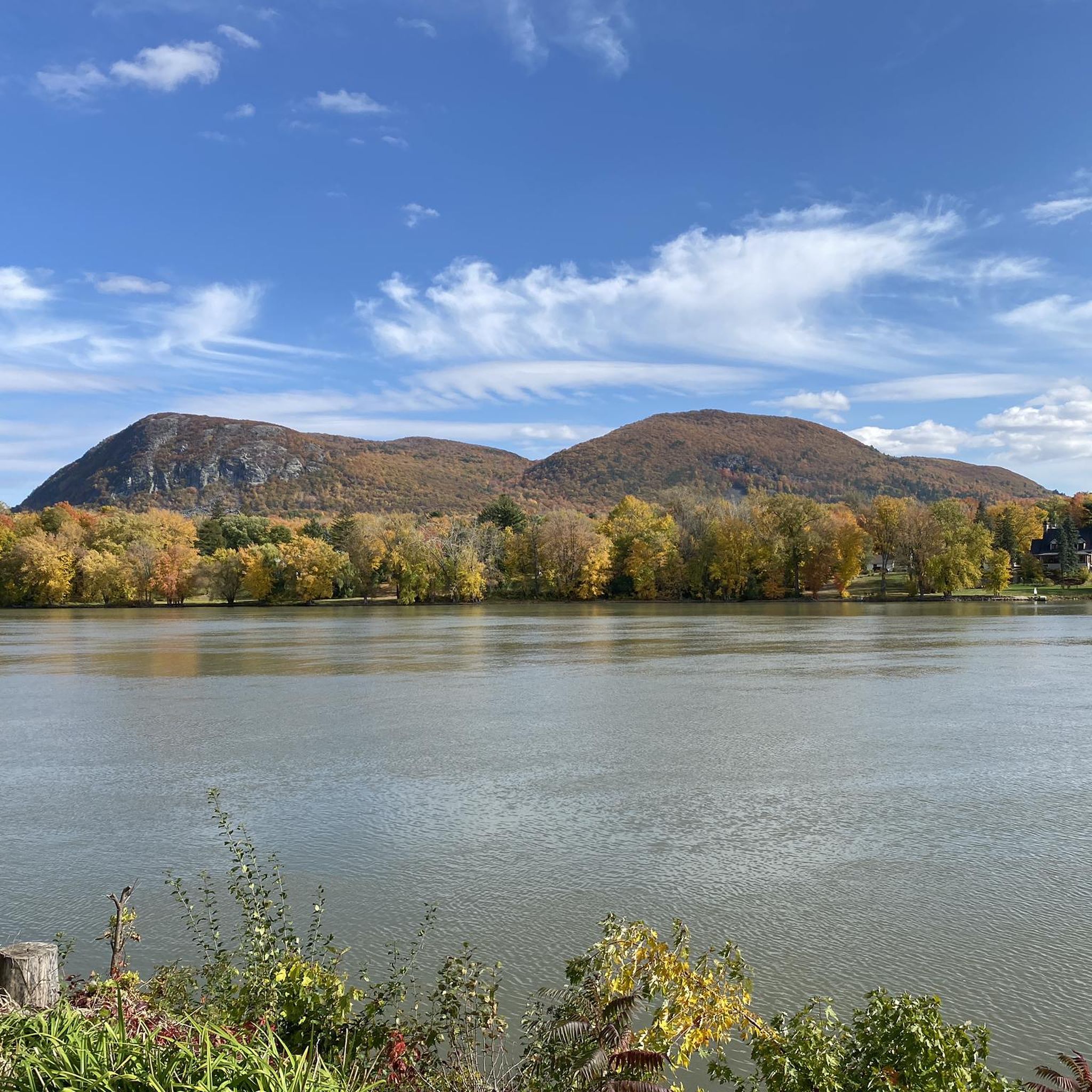
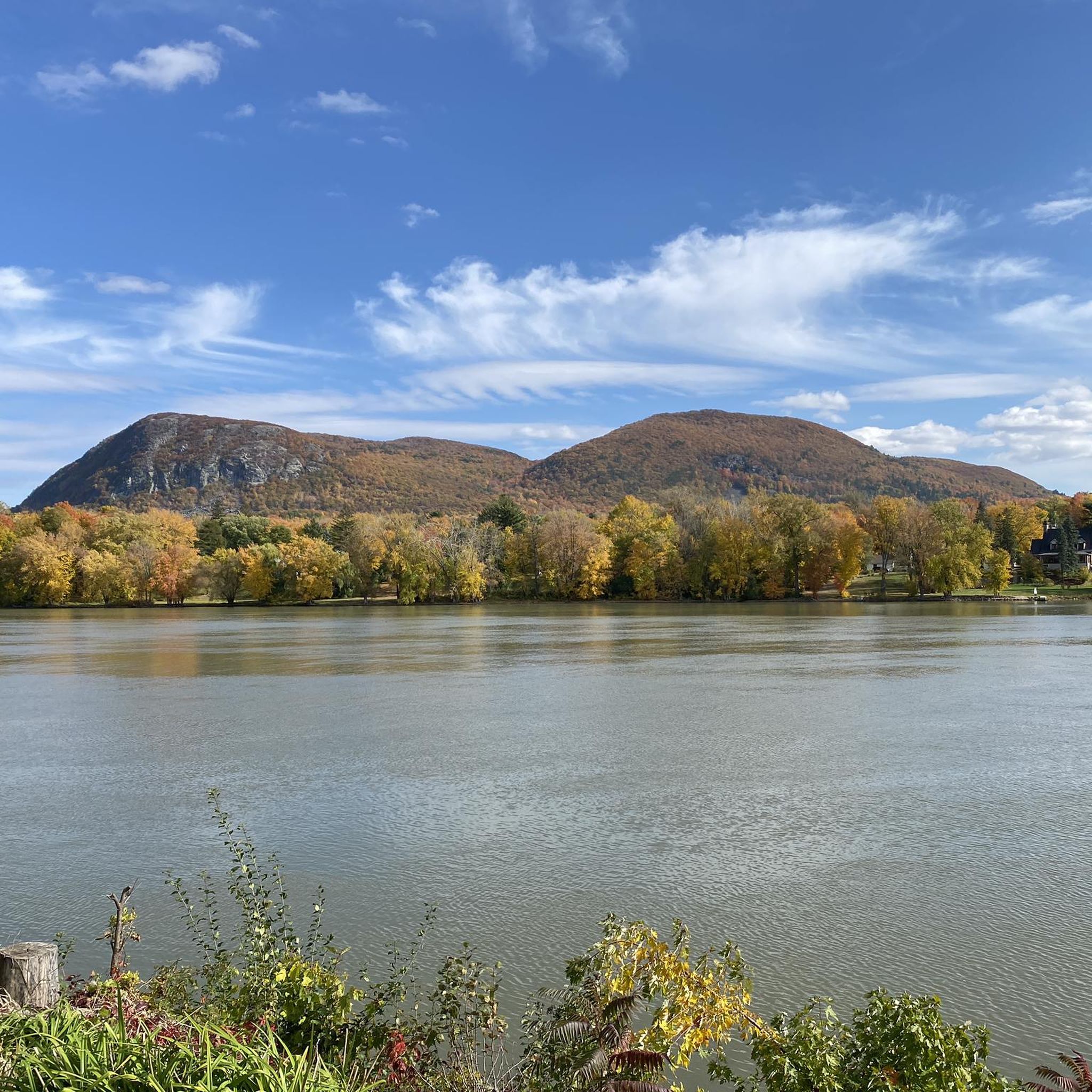
Touring cycling around Saint-Charles-sur-Richelieu offers routes through the St. Lawrence plain, characterized by flat terrain, tranquil waterways, and agricultural fields. The Richelieu River is a dominant natural feature, providing scenic vistas. Distant views of Mont Saint-Hilaire are also present. The area's generally flat topography makes it accessible for various cycling abilities.
Best touring cycling routes around Saint-Charles-sur-Richelieu
- The most popular touring cycling route is Fort Chambly – Chambly Marina loop from Mont-Saint-Hilaire, a 29.2 miles (46.9 km) trail that…
Last updated: July 5, 2026
4.3
(8)
36
riders
47.0km
02:43
170m
170m
Moderate bike ride. Good fitness required. Mostly paved surfaces. Suitable for all skill levels.
4.5
(2)
16
riders
Moderate bike ride. Good fitness required. Mostly paved surfaces. Suitable for all skill levels.

Sign up for free
5.0
(2)
24
riders
41.0km
02:24
160m
160m
Moderate bike ride. Good fitness required. Mostly paved surfaces. Suitable for all skill levels.
4.5
(2)
9
riders
56.4km
03:15
130m
130m
Moderate bike ride. Good fitness required. Mostly paved surfaces. Suitable for all skill levels.
5.0
(1)
12
riders
Easy bike ride. Great for any fitness level. Mostly paved surfaces. Suitable for all skill levels.
Get access to more routes and recommendations from other explorers.
Sign up for free
Already have an account?
Our route recommendations are based on thousands of hikes, rides, and runs completed by other people on komoot.
Start today with a free account
Your next adventure awaits.
Login or Signup
Popular around Saint-Charles-sur-Richelieu

Tips from the Community

This welcoming location offers unique architectural heritage in a magnificent setting on the banks of the Richelieu River. Home to the only fort in the greater Montreal area, the site is a witness to the indigenous settlements, the New France military occupation, and the British strategic positions during the 1812 war.
0
0

A beautiful town on the Chambly canal. There are plenty of bike paths available, giving you a low traffic route through the town. The birthplace of the first microbreweries in Québec, Chambly is still a "must taste" destination for brewers and enthusiastic beer lovers.
0
0

The place is called "Le plateau Michel Brault" in honor of the Quebec director.
0
0

Magnificent rest area along the majestic Richelieu...
0
0

This welcoming location offers a unique architectural heritage in a magnificent setting on the banks of the Richelieu River. Home to the only fort in the greater Montreal area, the site is a witness of a past that no longer exists. Come and discover or rediscover it from a different angle, and enjoy the nearby green spaces.
0
0
Along the Richelieu River, the Chambly Canal stretches nearly 20 kilometres between the municipalities of Chambly and Saint-Jean-sur-Richelieu. A small paradise for cyclists, boaters and hikers, the site offers pure relaxation in an environment carved out by more than a century of history.
0
0

Nice view and nice bike path
0
0

Place to picnic after your circuit on the Chambly canal track
0
0
Frequently Asked Questions
What is the general terrain like for touring cycling around Saint-Charles-sur-Richelieu?
The terrain around Saint-Charles-sur-Richelieu is generally flat, making it accessible and enjoyable for cyclists of all levels. The area is part of the St. Lawrence plain, characterized by tranquil waterways and agricultural fields, with distant views of Mont Saint-Hilaire.
Are there any long-distance cycling routes that pass through or near Saint-Charles-sur-Richelieu?
Yes, Saint-Charles-sur-Richelieu is an integral part of the broader Haut-Richelieu region, which features an extensive network of over 300 kilometers of cycling routes. Notably, the Route du Richelieu, a 260-kilometer tourist route, can be explored by bike, offering a journey through history and diverse landscapes.
What kind of natural features and viewpoints can I expect to see while cycling in the area?
Cyclists can enjoy stunning vistas along the Richelieu River, including magnificent sunsets. Views of the distant Mont Saint-Hilaire are also common. The routes often pass through agricultural fields and offer glimpses of protected natural environments like Île Jeannotte and Île aux Cerfs, which are important habitats for bird species.
Are there any family-friendly cycling options in Saint-Charles-sur-Richelieu?
Given the generally flat terrain and well-developed cycling infrastructure, many routes are suitable for families. The extensive network of bike paths and paved roads, such as the Vallée-des-Forts bike path, provides safe and enjoyable options for cyclists of all ages.
What is the best time of year to go touring cycling in Saint-Charles-sur-Richelieu?
The best time to cycle in Saint-Charles-sur-Richelieu is typically during the warmer months, from spring through fall, when the weather is pleasant and the landscapes are vibrant. This allows for comfortable exploration of the riverside scenery and agricultural fields.
Are there any circular cycling routes available?
Yes, there are several circular routes. For example, the Fort Chambly – Chambly Marina loop from Mont-Saint-Hilaire is a moderate 46.9 km route offering views along the Richelieu River. Another option is the Heritage Park Picnic Area – El Barcelo's loop from Mont-Saint-Hilaire, which covers 41.1 km through agricultural fields and riverside scenery.
Where can I park my car if I want to cycle in Saint-Charles-sur-Richelieu?
While specific parking locations for each route aren't detailed, Saint-Charles-sur-Richelieu, as a municipality supporting cycling, likely offers public parking options. It's advisable to check local municipal websites or maps for designated parking areas near popular trailheads or the town center.
Can I use public transport to reach cycling routes in the area, especially with my bike?
Information on specific public transport options for cyclists with bikes to Saint-Charles-sur-Richelieu is not readily available. However, the region is well-connected by road, and a convenient ferry service connects Saint-Charles-sur-Richelieu to Saint-Marc-sur-Richelieu, allowing cyclists to easily cross the river and link different routes.
What historical landmarks can I see along the cycling routes?
The area is rich in history, particularly its role in the Patriote Rebellion of 1837. Cyclists can observe beautifully preserved historic homes, religious sites, rustic resort buildings, and country houses along the Richelieu River, which add to the charm of the cycling experience.
Are there places to eat or stay overnight for cyclists in Saint-Charles-sur-Richelieu?
Saint-Charles-sur-Richelieu and the broader Haut-Richelieu region are tourist-friendly. While specific cafes, pubs, or accommodations aren't listed, the municipality supports cycling with amenities like a self-service electric bike station near the town hall, suggesting that local services for visitors, including dining and lodging, are available.
How do other touring cyclists rate the routes in Saint-Charles-sur-Richelieu?
The touring cycling routes around Saint-Charles-sur-Richelieu are highly rated by the komoot community, with an average score of 4.6 stars from over 20 reviews. Cyclists often praise the scenic views along the Richelieu River and the accessible, generally flat terrain.
Are there any moderate difficulty routes for touring cyclists looking for a bit more challenge?
Yes, there are several moderate routes. For instance, the Parc du Ruisseau Saint-Bruno – View of Mont Saint-Hilaire loop from Mont-Saint-Hilaire is a moderate 46.9 km path offering views of Mont Saint-Hilaire and rural landscapes. Another is the Chambly Marina – Fort Chambly loop from Mont-Saint-Hilaire, a 56.5 km moderate route.
Is it possible to cross the Richelieu River easily while cycling?
Yes, a convenient ferry service connects Saint-Charles-sur-Richelieu to Saint-Marc-sur-Richelieu. This allows cyclists to easily cross the river and link different routes on either bank, expanding their touring options.
Most popular routes around Saint-Charles-sur-Richelieu
Most popular attractions around Saint-Charles-sur-Richelieu

Get inspired with the komoot mobile app


Explore more
Browse the best Cycling routes in other regions.
