The best mountain hikes around Lunzer Lake
4.9
(31)
482
hikers
13
hikes
Mountaineering routes around Lunzer Lake are set within the Ybbstal Alps in Lower Austria, a region characterized by its diverse mountain landscape and the emerald-green Lunzer Lake. The area features significant peaks like Dürrenstein, known for panoramic views, and Maiszinken, offering varied routes. Dense woods and wilderness areas, including parts of the UNESCO World Heritage Dürrenstein Wilderness Area, contribute to the rugged terrain. The region provides a range of elevations and natural features suitable for mountaineering.
Best mountaineering routes around…
Last updated: July 5, 2026
5.0
(3)
13
hikers
18.3km
07:37
1,150m
1,150m
Hard mountaineering route. Very good fitness required. Mostly accessible paths. Sure-footedness required.
5.0
(1)
11
hikers
16.6km
06:04
840m
840m
Hard mountaineering route. Very good fitness required. Mostly accessible paths. Sure-footedness required.

Sign up for free
8
hikers
11.7km
03:40
440m
440m
Moderate mountaineering route. Good fitness required. Easily-accessible paths. Suitable for all skill levels.
8
hikers
13.9km
04:27
580m
580m
Moderate mountaineering route. Good fitness required. Easily-accessible paths. Suitable for all skill levels.
5.0
(1)
28
hikers
6.15km
04:15
840m
840m
Moderate mountaineering route. Good fitness required. Mostly accessible paths. Sure-footedness required.
Get access to more routes and recommendations from other explorers.
Sign up for free
Already have an account?
Our route recommendations are based on thousands of hikes, rides, and runs completed by other people on komoot.
Start today with a free account
Your next adventure awaits.
Login or Signup
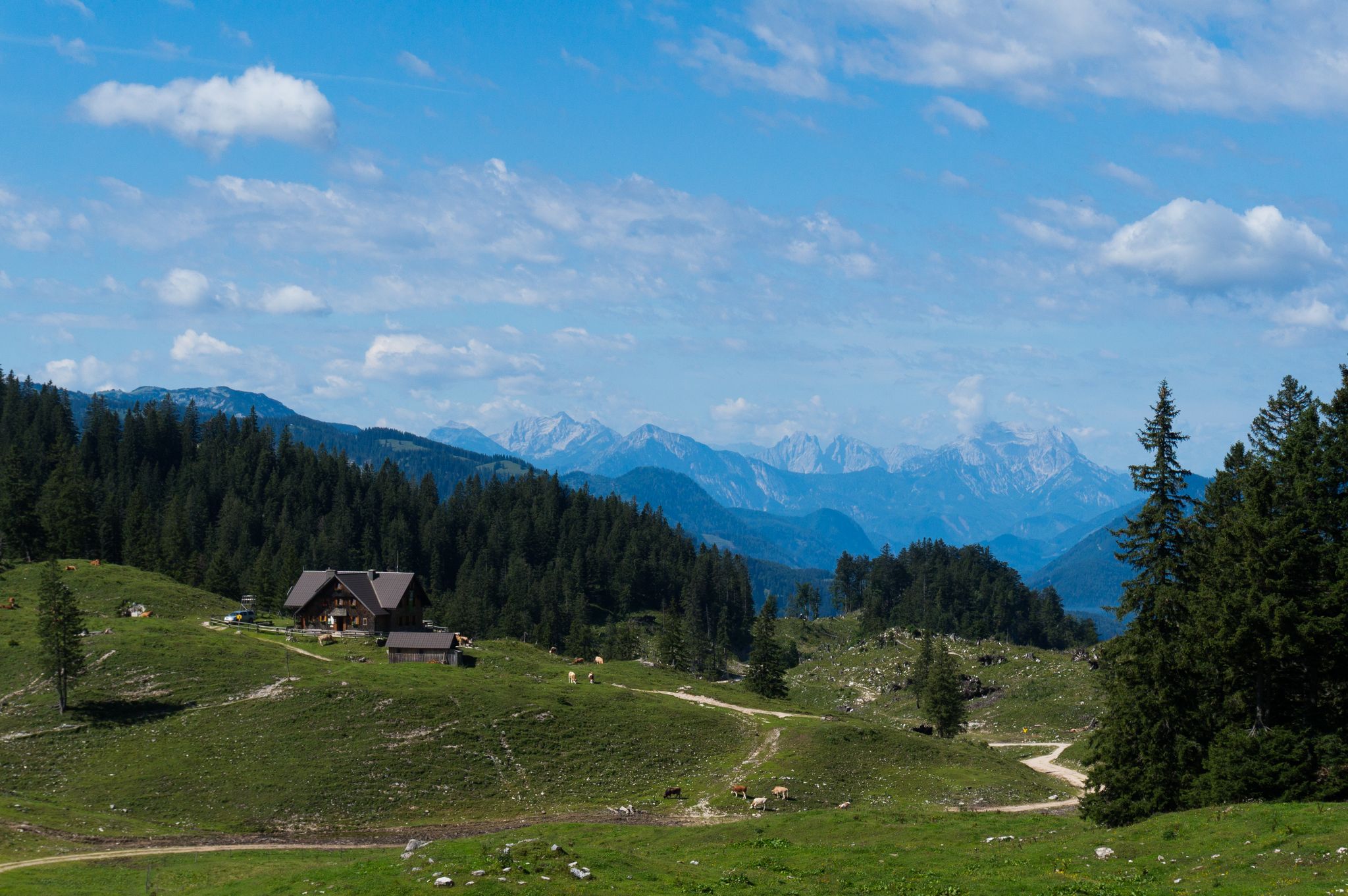
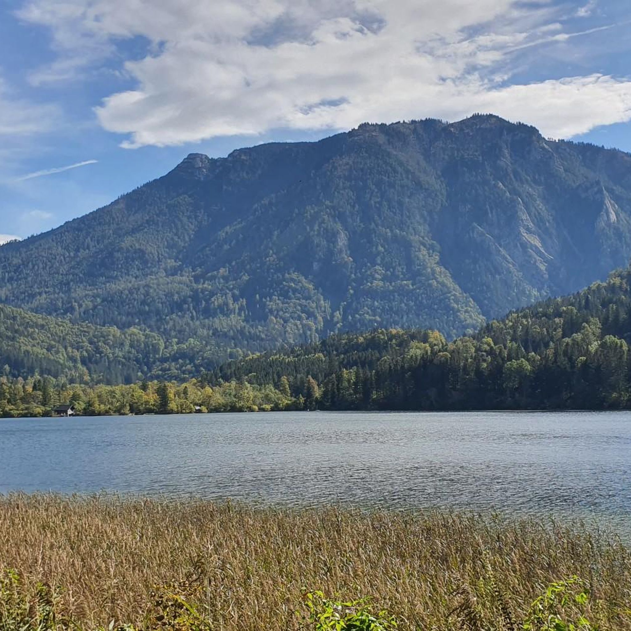
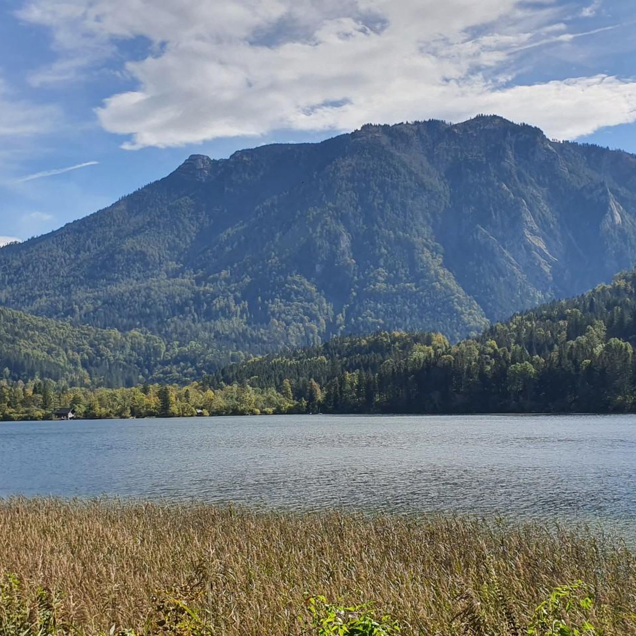
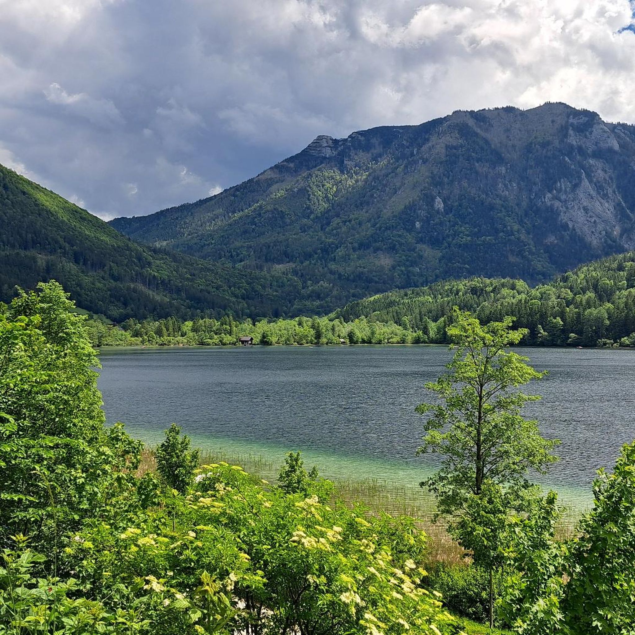
Other adventures around Lunzer Lake

Tips from the Community

For the exciting – and for the vast majority of us, presumably caught unprepared at that moment – question from a third party about one's own faith, which such a small sacred monument as the LEONHARDIKREUZ could prompt, Christiane Völkel has set herself the task of "being better prepared for such questions and also being able to talk about my own experience. These are the moments of awe, in which heaven has allowed me to glimpse beyond the horizon of existence for a moment. Whoever has experienced this will not forget what they felt… Whoever has once in their life begun to suspect what it means to be touched by God, will not want to live without this longing to feel the divine again."
0
0

Due to climate collapse, several meters of water depth are missing
0
0


The history of the castle spans around 700 years. A "farm by the lake" was mentioned as early as 1367. The name "Seehof" first appeared in 1490, and probably served as the farm of the Gaming Charterhouse. Today the castle is privately owned and is run as a forestry business. You can take a break in the neighboring castle tavern and be enchanted by the beautiful surroundings.
1
0

Fantastic view, on nice days as far as the Gesäuse and the Dead Mountains.
0
0

A nice “take-along summit” on the crossing from the Scheibe to Herrenalm.
5
0
A nice place to rest. Also the crossing point of the hiking trails to the Seetal, to the Scheibe, and to the Herrenalm.
5
0
The highest peak on the crossing from the Scheibe to the Herrenalm
4
0
Frequently Asked Questions
What types of mountaineering routes can I find around Lunzer Lake?
The Lunzer Lake region, nestled in the Ybbstal Alps, offers a diverse range of mountaineering routes. You'll find everything from moderate ascents to challenging high-alpine tours. There are approximately 14 mountaineering routes available, catering to various skill levels.
Are there any family-friendly mountaineering options near Lunzer Lake?
While many mountaineering routes are more challenging, the region around Lunzer Lake does offer options suitable for families. For a more leisurely experience, the 3.5 km (2.2 miles) Lake Shore Trail (Seeuferweg) is easy and stroller-friendly. For a moderate mountaineering experience, consider the Lake Lunz – View of Lunzer See loop from Lunz am See, which is about 11.7 km and takes around 3 hours 40 minutes.
What are some challenging mountaineering routes in the Lunzer Lake area?
For experienced mountaineers seeking a challenge, the Lunzer Lake region has several demanding routes. A notable difficult option is the View of Lunzer See – Scheibe (1602 m) loop from Katastralgemeinde Lunzamt, an 18.2 km trail that typically takes over 7 hours to complete and offers expansive views.
Are there any circular mountaineering routes around Lunzer Lake?
Yes, many of the mountaineering routes around Lunzer Lake are designed as loops, allowing you to start and end in the same location. For example, the Leonhard Cross – Obersee loop from Katastralgemeinde Lunzamt is a challenging 16.6 km circular path that leads to the remote Obersee.
What is the best time of year for mountaineering around Lunzer Lake?
The best time for mountaineering around Lunzer Lake is generally from late spring to early autumn (May to October), when the weather is most stable and trails are clear of snow. However, the region also offers winter activities like snowshoeing, and some trails might be accessible for winter hiking depending on conditions.
Are dogs allowed on the mountaineering trails near Lunzer Lake?
Many trails in the Lunzer Lake region are dog-friendly, but it's always recommended to keep your dog on a leash, especially in nature protection areas like the Dürrenstein Wilderness Area or Ötscher-Tormäuer Nature Park. Always check local regulations for specific routes.
What kind of views or natural features can I expect on these routes?
Mountaineering routes around Lunzer Lake offer stunning alpine scenery. You can expect panoramic views from peaks like Dürrenstein and Maiszinken, lush woods, and the emerald-green Lunzer Lake itself. The Maiszinken Summit – Lake Lunz loop from Lunz am See, for instance, provides excellent vistas of the lake and surrounding mountains.
Are there any hidden gems or less-traveled routes in the area?
While popular routes are well-known, the Dürrenstein Wilderness Area, a UNESCO World Heritage Site, offers a chance to experience 'original and untamed' nature on more remote trails. The Three-Lakes Hiking Tour, connecting Lunzer See with Lake Mittersee and Lake Obersee, also provides a scenic experience with fascinating flora away from the busiest spots.
Where can I park for mountaineering trailheads around Lunzer Lake?
Lunz am See, being a recognized 'mountaineering village,' provides various parking options for trailheads. Specific parking areas are usually available near popular starting points, such as those for routes originating from Katastralgemeinde Lunzamt or Lunz am See itself. It's advisable to check local signage upon arrival for designated parking zones.
Can I reach the mountaineering routes using public transport?
Lunz am See is accessible by public transport, which can serve as a starting point for many routes. While direct access to every trailhead might require a short walk or local bus connection, the village itself is well-connected. For detailed public transport information, it's best to consult local schedules.
What do other mountaineers enjoy most about the Lunzer Lake region?
The Lunzer Lake region is highly rated by the komoot community, with an average score of 4.8 stars. Reviewers often praise the diverse mountain landscape, the pristine beauty of the clear mountain lakes, and the varied terrain that offers options for all ability levels. The scenic views, especially from routes like the View of Lunzer See – Scheibe (1602 m) loop from Dagles, are frequently highlighted.
Are there any places to eat or get refreshments near the trails?
Lunz am See and its surroundings offer various cafes and restaurants where you can refuel after your mountaineering adventures. The Seebad (beach area) at Lunzer Lake also has a snack bar. Along some longer routes, you might find mountain huts or alms, especially during peak season, offering traditional refreshments.
Most popular routes around Lunzer Lake

Get inspired with the komoot mobile app


Explore more
Browse the best Mountain Hikes & Routes in other regions.
