The best running trails around Mont-Saint-Grégoire
4.0
(2)
340
runners
18
runs
Jogging routes around Mont-Saint-Grégoire feature a diverse landscape centered around the Mont Saint-Grégoire hill, which rises to 251 meters (823 feet). The region offers varied terrain, including trails that can be steep and rocky, providing a challenging workout. Runners can explore rich forest ecosystems, such as sugar maple and oak forests, which offer shaded paths. The area also provides panoramic views of the surrounding Montérégie region and contrasts with the flat farmlands and orchards below.
Best jogging routes around Mont-Saint-Grégoire
…Last updated: June 29, 2026
75
runners
Moderate run. Good fitness required. Mostly paved surfaces. Suitable for all skill levels.
88
runners
19.4km
02:01
40m
40m
Hard run. Very good fitness required. Mostly paved surfaces. Suitable for all skill levels.

Sign up for free
23
runners
Hard run. Very good fitness required. Mostly paved surfaces. Suitable for all skill levels.
21
runners
29.5km
03:03
80m
80m
Hard run. Very good fitness required. Mostly paved surfaces. Suitable for all skill levels.
11
runners
5.51km
00:34
10m
10m
Moderate run. Good fitness required. Mostly paved surfaces. Suitable for all skill levels.
Get access to more routes and recommendations from other explorers.
Sign up for free
Already have an account?
Our route recommendations are based on thousands of hikes, rides, and runs completed by other people on komoot.
Start today with a free account
Your next adventure awaits.
Login or Signup
Popular around Mont-Saint-Grégoire
Tips from the Community

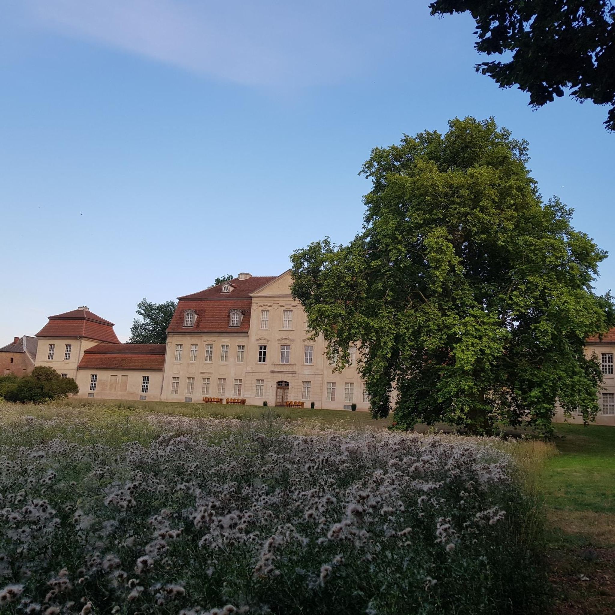
This welcoming location offers unique architectural heritage in a magnificent setting on the banks of the Richelieu River. Home to the only fort in the greater Montreal area, the site is a witness to the indigenous settlements, the New France military occupation, and the British strategic positions during the 1812 war.
0
0

The luminous bench that you find within the park traces the history of the Richelieu River, the confluence of the Saint-Laurent. This park is an ideal place to take a break.
2
0

Charming place next to Fort De Chambly for an observation stop
0
0

Nice park and downtown-ish area with restaurants and such.
0
1
Frequently Asked Questions
How many running routes are available around Mont-Saint-Grégoire?
There are 18 dedicated running routes around Mont-Saint-Grégoire listed on komoot, offering a variety of experiences for all skill levels.
What kind of terrain can I expect on the jogging trails in Mont-Saint-Grégoire?
The running trails around Mont-Saint-Grégoire offer diverse terrain. You'll find paths that can be steep and rocky, especially on Mont Saint-Grégoire itself, providing a challenging workout. Many routes wind through rich forest ecosystems, including sugar maple and oak forests, offering shaded and scenic paths. The area also features routes that contrast with the flat farmlands and orchards below, providing unique visual appeal.
Are there any easy running routes suitable for beginners in Mont-Saint-Grégoire?
Yes, Mont-Saint-Grégoire offers routes for various skill levels. There are 4 easy running routes available, perfect for beginners or those looking for a more relaxed run. These routes typically feature less elevation gain and smoother paths.
What are some notable landmarks or viewpoints I might encounter on a run?
From the summit of Mont Saint-Grégoire, runners are rewarded with remarkable panoramic views of the surrounding Montérégie region, including Montreal on clear days, and even the mountains of Vermont and the Adirondacks. Along some routes, you might also pass by significant points of interest like Fort Chambly or the scenic Éclusiers Park.
Are there any circular running routes in the Mont-Saint-Grégoire area?
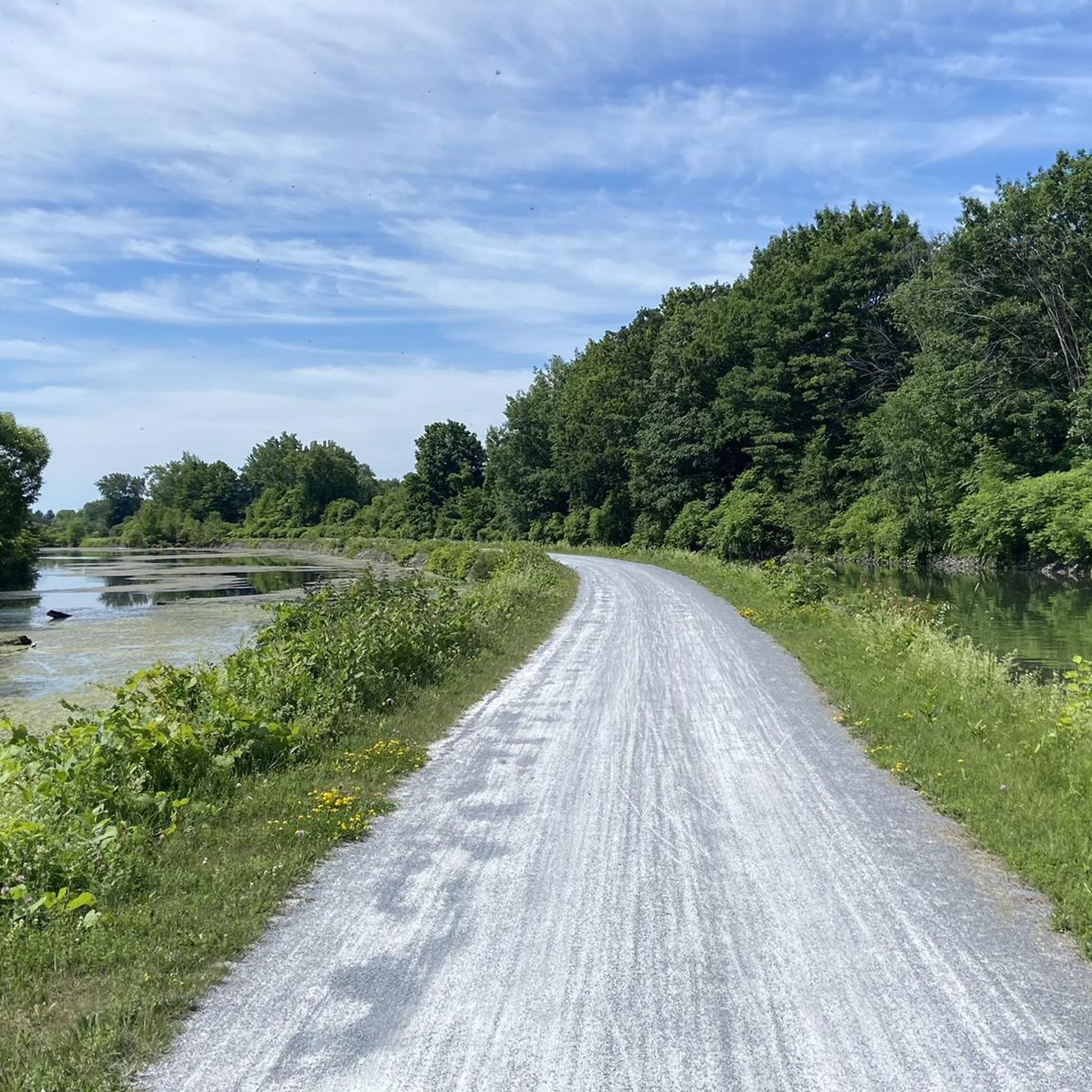
Yes, many of the running paths around Mont-Saint-Grégoire are designed as loops. For example, the popular Éclusiers Park loop from boul. du Séminaire nord / face au CLSC Vallée des is a 10.4 km (6.5 miles) route, and the Déversoir 4, Canal de Chambly loop offers a longer 17.6 km (10.9 miles) experience through the canal area.
What do other runners enjoy most about the trails in Mont-Saint-Grégoire?
The running routes in Mont-Saint-Grégoire are highly rated by the komoot community, with an average score of 4.0 stars from 2 reviews. Runners often praise the diverse landscapes, from challenging mountain trails to scenic paths through forests and farmlands, and the rewarding panoramic views from higher elevations.
Is Mont-Saint-Grégoire a good place for trail running?
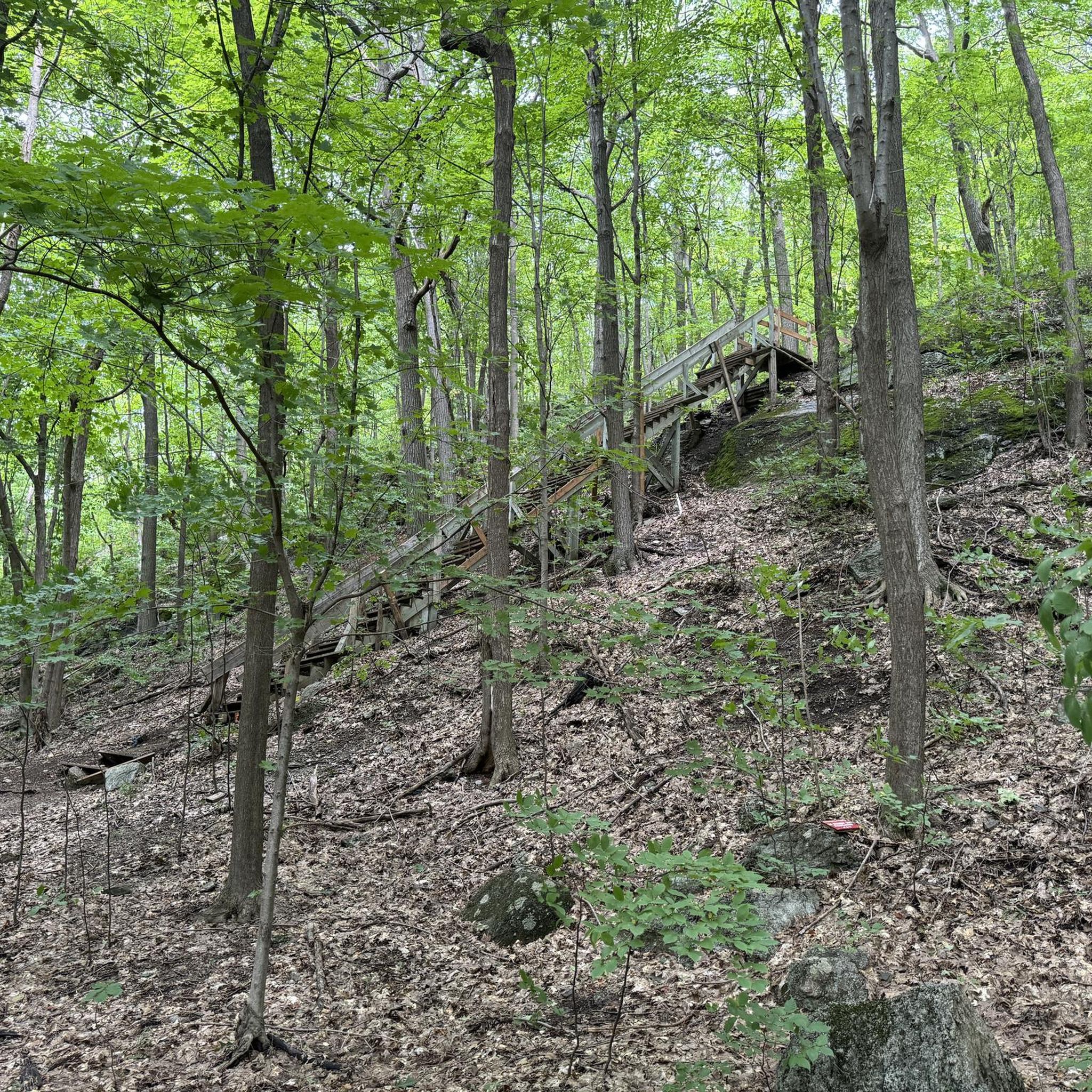
Absolutely. Mont-Saint-Grégoire is known for its varied terrain, including trails that can be quite steep and rocky with stairs, making it an excellent spot for trail running. The forest ecosystems provide a natural and engaging environment for those seeking a more rugged running experience.
What is the best season for running in Mont-Saint-Grégoire?
While trails are open year-round, spring and fall are particularly beautiful for running. The maple forests display magnificent colors during autumn, and spring brings fresh greenery. Winter conditions can be icy without sufficient snow, so runners should check trail conditions and be prepared.
Are there any long-distance running routes available?
Yes, for those looking for a longer running experience, routes like the Éclusiers Park loop from Saint-Jean-sur-Richelieu cover 19.3 km (12.0 miles), and the Chambly Canal – Fort Chambly loop from Île Sainte-Thérèse extends to 29.5 km (18.3 miles), offering an extended challenge through varied scenery.
What kind of natural features can I expect to see while running?
The region is characterized by its central Mont Saint-Grégoire hill, which is largely covered by rich forest ecosystems, including sugar maple and oak forests. You'll also see the mountain rising above flat lands occupied by apple orchards, corn, soya, and other cereal crops, creating a unique 'island in a sea of farmland' aesthetic.
Is there public transport access to the running trails in Mont-Saint-Grégoire?
While specific public transport routes directly to all trailheads might be limited, the region is accessible. For detailed information on public transport options to Mont-Saint-Grégoire, it's best to consult local transit authorities or resources like Tourisme Haut-Richelieu for up-to-date travel advice.
Where can I find information about parking for the running routes?
Many trailheads and attractions in the Mont-Saint-Grégoire area, such as the CIME Haut-Richelieu, offer parking facilities. It's advisable to check the specific route details on komoot or the official website of the CIME Haut-Richelieu for parking availability and any associated fees before your visit.
Most popular routes around Mont-Saint-Grégoire
Most popular attractions around Mont-Saint-Grégoire

Get inspired with the komoot mobile app


Explore more
Browse the best Running Trails & Routes in other regions.
