The best running trails around Kings, Subd. C
4.0
(1)
44
runners
3
runs
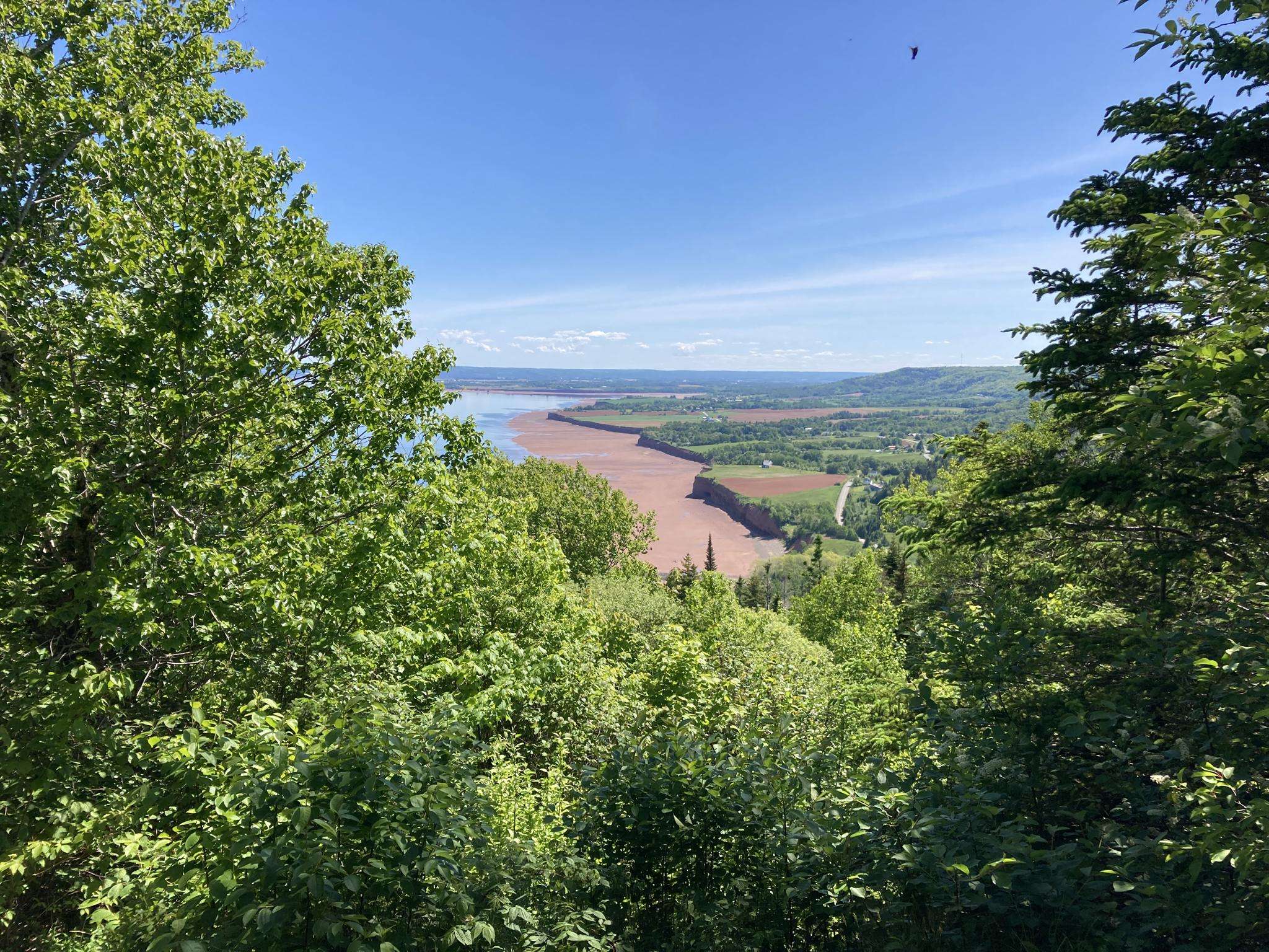
Jogging around Kings, Subd. C offers access to diverse landscapes and extensive trail networks within Nova Scotia's Annapolis Valley. The region features a mix of coastal views, river systems, and woodlands, providing varied terrain for running. Many routes follow former railbeds or wind through natural areas, offering a peaceful environment with low traffic noise. Both paved and natural surface trails are available, catering to different preferences and fitness levels.
Best jogging routes around Kings, Subd. C
- The most popular jogging…
Last updated: June 29, 2026
31
runners
18.1km
01:54
110m
110m
Hard run. Very good fitness required. Mostly paved surfaces. Suitable for all skill levels.
4.0
(1)
9
runners
5.80km
00:42
10m
10m
Moderate run. Good fitness required. Mostly paved surfaces. Suitable for all skill levels.

Sign up for free
4
runners
9.04km
00:57
70m
70m
Moderate run. Good fitness required. Mostly paved surfaces. Suitable for all skill levels.
Our route recommendations are based on thousands of hikes, rides, and runs completed by other people on komoot.
Start today with a free account
Your next adventure awaits.
Login or Signup
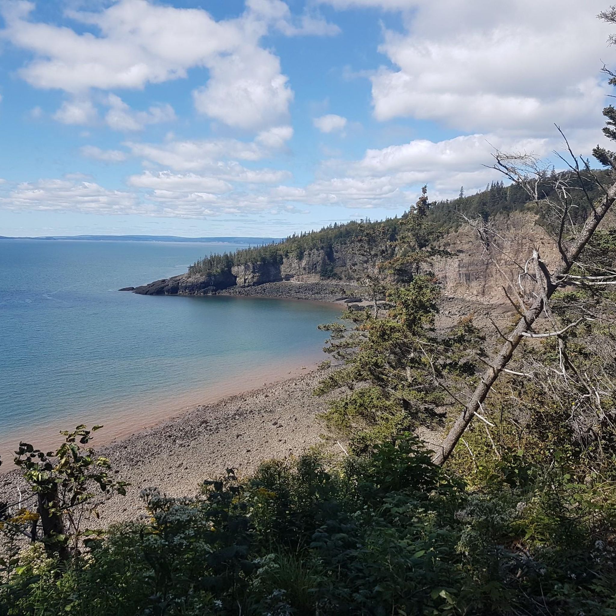
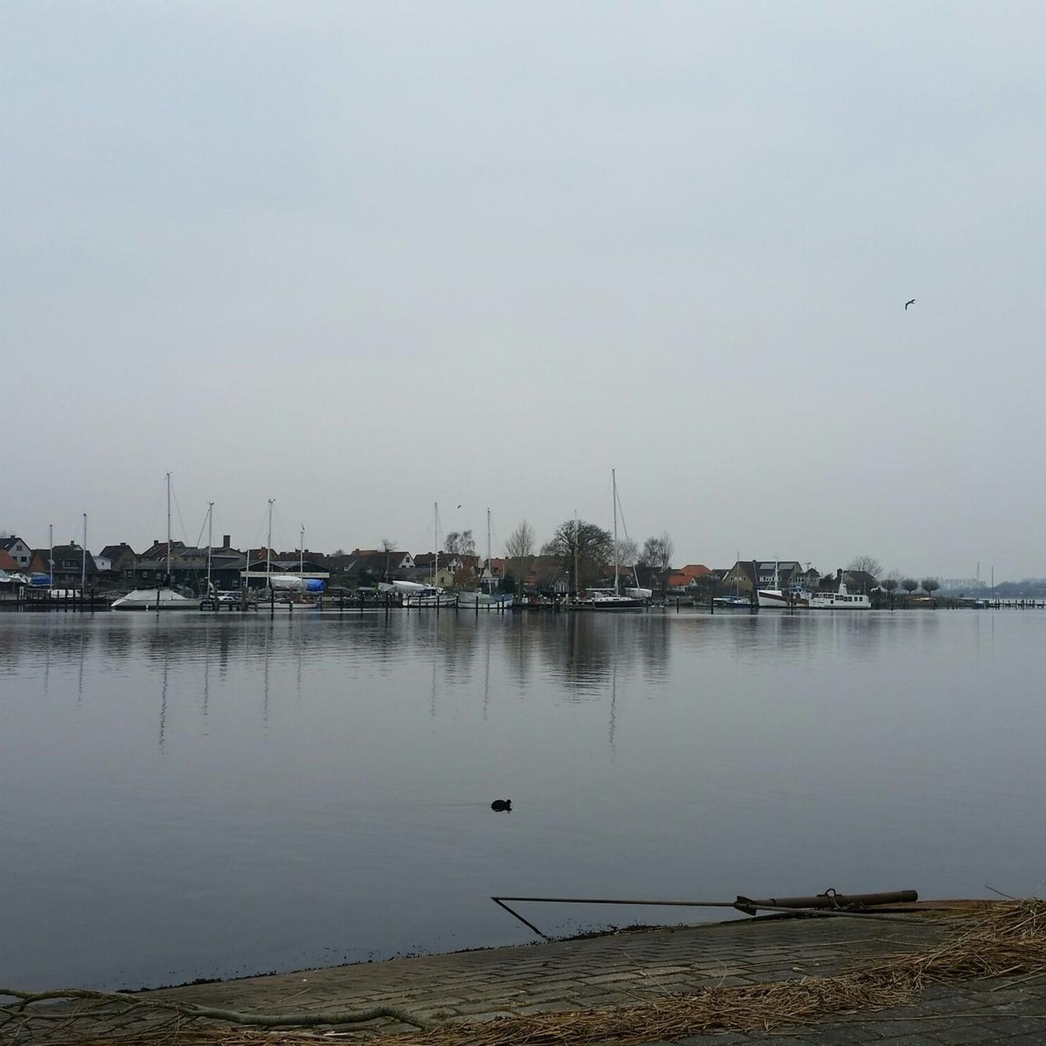
Other adventures around Kings, Subd. C

Frequently Asked Questions
What kind of terrain can I expect on running trails in Kings, Subd. C?
The Kings, Subd. C region offers a diverse range of terrain for runners. You'll find a mix of coastal views, river systems, and woodlands. Many routes follow former railbeds, providing relatively flat and accessible paths, while others wind through natural areas. Both paved and natural surface trails are available, catering to different preferences and fitness levels.
Are there any long-distance running options in the area?
While the routes highlighted in this guide vary in length, the broader Kings County area is home to extensive trail networks. For example, the Harvest Moon Trailway stretches 110 kilometers (68 miles) across the Annapolis Valley, offering significant distance for long runs. The Black Rock Trail System also provides 27.5 km of trails for longer explorations. Among the featured routes, the Van Nostrand's Pond – Elderkin Pond loop from Town of Wolfville is the longest at 18.7 km.
What are some family-friendly running routes in Kings, Subd. C?
For families looking for shorter, more accessible options, trails like the Fred Elderkin Nature Trail (1100 meters) and the Acadia Nature Trail (1.5 km) offer pleasant, leisurely paths through wooded areas. The Running loop from Town of Wolfville is a moderate 5.8 km route that could also be suitable for active families.
Are there any circular or loop running trails available?
Yes, several routes in the area are designed as loops, which are great for runners who prefer not to retrace their steps. This guide features the Van Nostrand's Pond – Elderkin Pond loop from Town of Wolfville (18.7 km), the Running loop from Town of Wolfville (5.8 km), and the Running loop from Port Williams (9.1 km), all of which are circular routes.
What kind of natural features or viewpoints can I expect along the running paths?
The region is rich in natural beauty. You can expect picturesque coastal views, especially along trails like the iconic Cape Split Hiking Trail, which offers breathtaking vistas of the Bay of Fundy. Many routes also follow river systems, such as the Gaspereau Canal Trail and Gaspereau River Trail, or wind through peaceful woodlands. The presence of lakes like Lake Pisiquid and Crooked Lake also adds to the scenic appeal.
Are there any interesting landmarks or attractions near the running routes?
Yes, several points of interest are located near the running routes. You might pass by the Wolfville Sign, enjoy the scenery at Kingsport Beach, or even be close to the Acadia University Campus. These offer opportunities to explore local culture and natural beauty during or after your run.
What do other runners enjoy most about jogging in Kings, Subd. C?
The running routes in Kings, Subd. C are highly rated by the komoot community, with an average score of 4.0 stars. Runners often praise the peaceful environment, diverse landscapes, and the variety of trail surfaces available. The low levels of traffic noise contribute to a relaxed atmosphere, making it an ideal place for outdoor activities like running.
Are there options for beginner runners in Kings, Subd. C?
Absolutely. While some routes are more challenging, there are excellent options for beginners. The Running loop from Town of Wolfville is a moderate 5.8 km path, providing an accessible option for a quicker or less strenuous run. Shorter trails like the Fred Elderkin Nature Trail and Acadia Nature Trail are also great for those just starting out or looking for a leisurely jog.
What is the best time of year for running in Kings, Subd. C?
Kings, Subd. C offers a pleasant environment for running throughout much of the year. The region's diverse landscapes, including coastal areas, river systems, and woodlands, provide varied scenery that changes with the seasons. Spring and fall often offer comfortable temperatures and beautiful foliage, while summer is great for enjoying the longer daylight hours. Even in winter, some trails may be suitable for snowshoeing or cross-country skiing, offering alternative ways to enjoy the outdoors.
Are there any cafes or pubs near the running routes for a post-run refreshment?
Yes, the area around Kings, Subd. C offers options for refreshments. For example, you might find yourself near Luckett Vineyards or the Horton Ridge Malt & Grain Brewery, depending on your chosen route. These spots can be great for a post-run treat or a relaxing break.
How many running routes are featured in this guide for Kings, Subd. C?
This guide highlights 3 distinct running routes around Kings, Subd. C, ranging from moderate to difficult in intensity. These routes have been explored by over 40 runners using komoot, offering a good starting point for your adventures.
Most popular routes around Kings, Subd. C
Most popular attractions around Kings, Subd. C

Get inspired with the komoot mobile app


Explore more
Browse the best Running Trails & Routes in other regions.
