The best walks and hikes around Mont-Élie
4.7
(102)
2,695
hikers
17
hikes
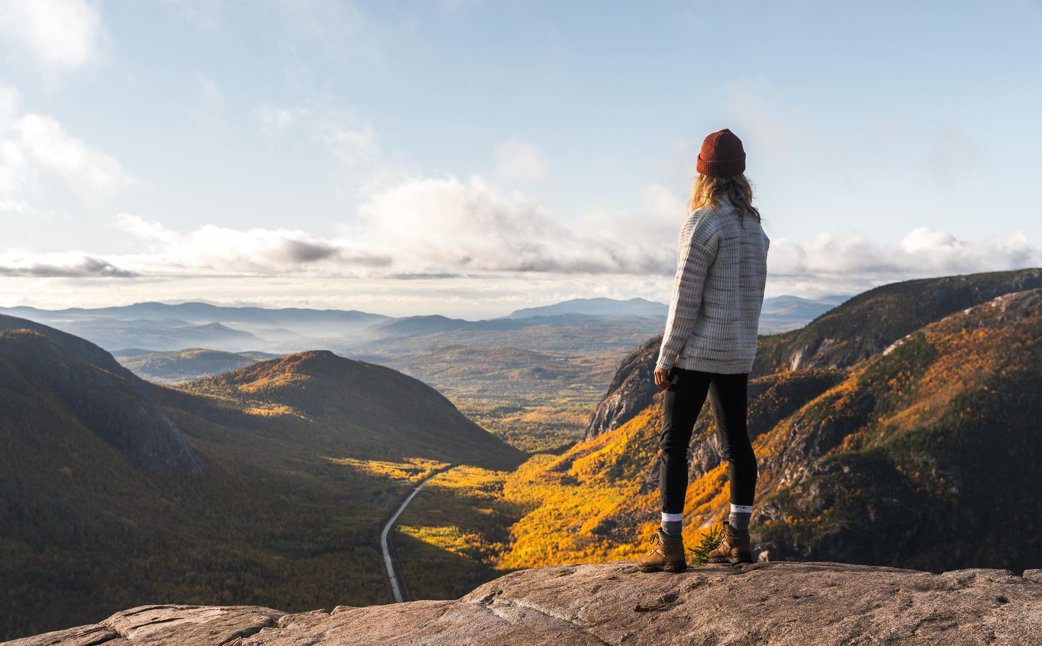
Hiking around Mont-Élie offers diverse landscapes within Quebec's Capitale-Nationale region, characterized by mountainous highland terrain and extensive forest cover. The area features numerous lakes and rivers, including Lac à l'Est and Lac Éclair. The Mont Élie summit, rising to 3,350 feet (1,021 meters), provides expansive 360-degree panoramic views from its treeless peak. This environment supports varied ecosystems, making it suitable for nature observation.
Best hiking trails around Mont-Élie
- The most popular hiking route is Sentier de l'Acropole-des-Draveurs – Hautes-Gorges-de-la-Rivière-Malbaie National Park, a 6.7 miles (10.8 km) trail that takes 4 hours 19 minutes to complete. This moderate route features significant elevation gain within the national park.
- Another top favourite among local hikers is Le Draveur Service Center – View of the Malbaie River loop from Camping le Pin-Blanc, a moderate 9.7 miles (15.6 km) path. This loop offers views of the Malbaie River and takes approximately 4 hours 16 minutes.
- Local hikers also love the View of the Malbaie River – Le Draveur Service Center loop from Centre de découverte et de services Félix-Antoine-Savard, a 12.2 miles (19.7 km) trail leading through varied terrain, often completed in about 5 hours 21 minutes.
- Hiking around Mont-Élie is defined by mountainous terrain, dense forests, and the presence of lakes and rivers, with options available for various ability levels.
- The routes in Mont-Élie are highly rated by the komoot community with an average score of 4.6 stars from over 90 reviews. More than 2500 hikers have used komoot to explore Mont-Élie's varied terrain.
Last updated: June 30, 2026
4.9
(36)
1,020
hikers
Moderate hike. Good fitness required. Easily-accessible paths. Suitable for all skill levels.
4.6
(16)
366
hikers
Moderate hike. Good fitness required. Easily-accessible paths. Suitable for all skill levels.

Sign up for free
4.9
(14)
360
hikers
Hard hike. Very good fitness required. Easily-accessible paths. Suitable for all skill levels.
4.7
(3)
106
hikers
16.9km
04:26
140m
140m
Moderate hike. Good fitness required. Easily-accessible paths. Suitable for all skill levels.
4.5
(2)
119
hikers
Moderate hike. Good fitness required. Easily-accessible paths. Suitable for all skill levels.
Get access to more routes and recommendations from other explorers.
Sign up for free
Already have an account?
Our route recommendations are based on thousands of hikes, rides, and runs completed by other people on komoot.
Start today with a free account
Your next adventure awaits.
Login or Signup
Popular around Mont-Élie
Other adventures around Mont-Élie

Tips from the Community


We did it on October 3, 2024… 40,000 people a year do this hike ;-)
0
0

Luckily, there are three peaks up here, which makes the climb even more worthwhile.
0
0
The water of Lac du Pic Chevelu flashes between the trees.
0
0

Bus runs every 15 min. Back to the parking lot at the beginning of the park
1
0

Take the shuttle bus from the park's parking lot/visitor center to the trailhead. This runs approximately every 10 minutes. Alternatively, you can reach the trailhead on foot, approximately 6 km.
0
0

Wonderful view of the entire area. When the weather is nice. :-)
0
0
Frequently Asked Questions
How many hiking trails are available in Mont-Élie?
Mont-Élie offers a variety of hiking experiences with 17 distinct trails. These include 2 easy routes, 11 moderate options, and 4 challenging trails, catering to different skill levels.
What kind of terrain can I expect on Mont-Élie's hiking trails?
The terrain in Mont-Élie is characterized by mountainous highlands and extensive forest cover. Trails often wind through dense forests, opening up to more intimate mountain landscapes and offering increasing viewpoints at higher elevations. You might encounter muddy sections, especially on trails like the Sentier du Mont Élie, and rocky fields on steeper paths such as the Sentier Menaud.
Are there any family-friendly hiking options in Mont-Élie?
Yes, for an easier outing, the Sentier de la Gamelle is a short, easy trail less than 2 km round trip, perfect for families. It leads to a beautiful waterfall and follows a river. Another accessible option is the View of the Malbaie River loop from Centre de découverte et de services Félix-Antoine-Savard, which is a moderate 12.9 km route with less elevation gain.
Are there any waterfalls to see while hiking in Mont-Élie?
Yes, the Sentier de la Gamelle trail features a beautiful waterfall, providing a scenic highlight for hikers. This short and easy trail is a great option for those looking to enjoy a natural water feature.
What are the best trails for panoramic views in Mont-Élie?
For breathtaking panoramic views, the summit of Mont Élie is unparalleled. Rising to 1,021 meters, its treeless peak offers spectacular 360-degree vistas of the surrounding Charlevoix backcountry. The Sentier de l'Acropole-des-Draveurs, located nearby in Hautes-Gorges-de-la-Rivière-Malbaie National Park, also provides significant elevation gain and rewarding views.
Can I find any circular hiking routes in Mont-Élie?
Yes, Mont-Élie offers several circular routes. A notable option is the Le Draveur Service Center loop from Bloc sanitaire 1, a moderate 16.8 km path. Additionally, hikers can combine the Mont Élie and Menaud trails into a 16 km loop for a more challenging experience.
What are some interesting landmarks or natural features to look out for on the trails?
Beyond the Mont Élie summit, you can explore several natural features and landmarks. Consider visiting Acropole des Draveurs – Third Summit for another high-altitude perspective, or the serene Lac Bazile. The region is also home to the Mont de l'Écluse and diverse ecosystems like the Taiga Between L'Empêche and Dufour.
What do other hikers say about the trails in Mont-Élie?
The trails in Mont-Élie are highly regarded by the komoot community, holding an average rating of 4.6 stars from over 90 reviews. Hikers frequently praise the diverse landscapes, the challenging yet rewarding ascents, and the stunning panoramic views from the summits.
Are there options for camping or accommodation near the hiking trails?
Yes, Mont-Élie supports various outdoor activities including wild camping and traditional camping with designated sites. The Zec Lac-au-Sable, which manages access to many trails, also offers ready-to-camp options like yurts for rent at Lac à l'Est, conveniently located near the start of some popular trails.
Is there an entrance fee to access the hiking trails in Mont-Élie?
Yes, access to many of the hiking trails in Mont-Élie typically requires paying an entrance fee to the Zec Lac-au-Sable, which manages the territory. It's advisable to check their official website for current rates and regulations before your visit.
What is the best time of year to hike in Mont-Élie?
The best time to hike in Mont-Élie is generally during the warmer months, from late spring to early autumn, when trails are clear of snow and ice. This period offers pleasant temperatures and the full beauty of the region's forests and lakes. The treeless summit of Mont Élie can be exposed to strong winds, so be prepared for varying conditions even in summer.
Are there any less crowded trails for a more solitary experience?
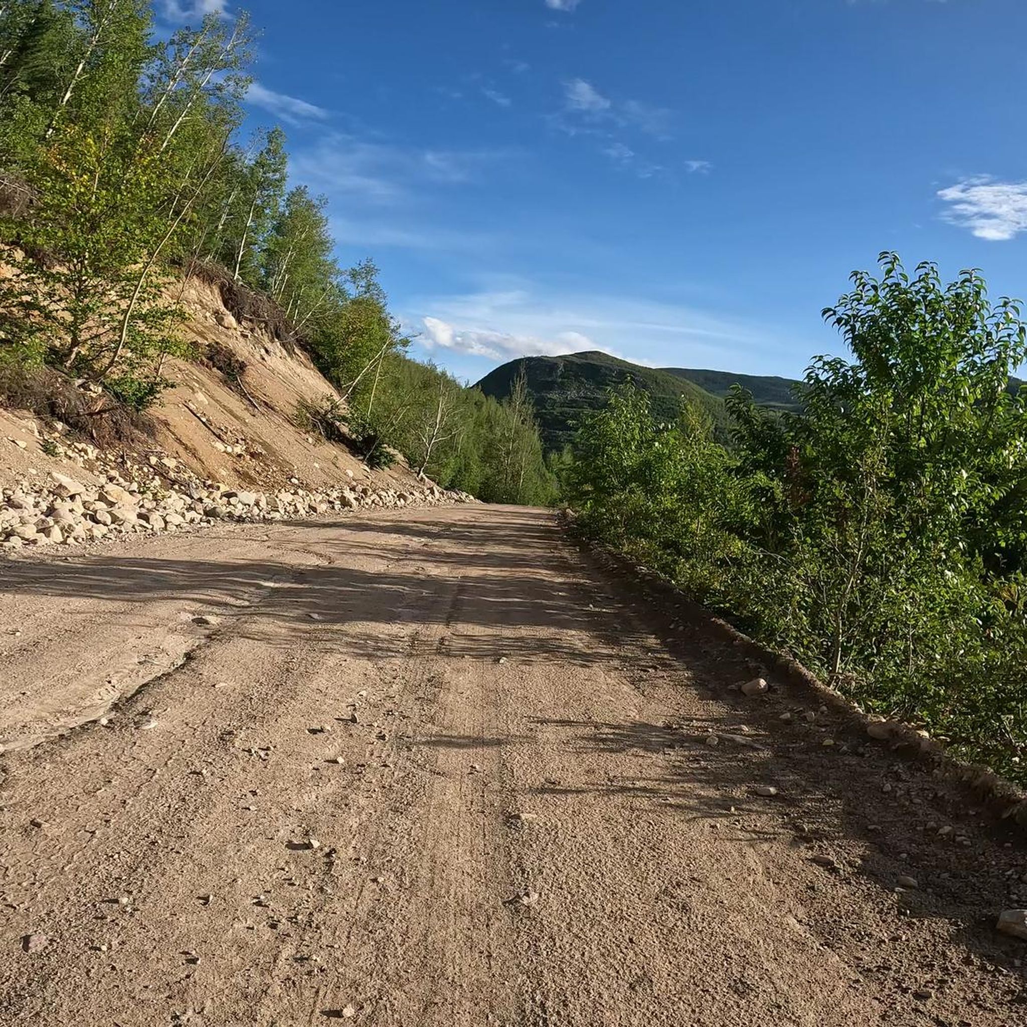
Mont-Élie is generally considered a less frequented area compared to some other popular hiking destinations, making it ideal for those seeking a more solitary and immersive wilderness experience. While specific crowd levels vary, trails like the Sentier du Mont à Peine, which is 3 km one-way and accessible by car on a gravel road, might offer a quieter experience.
Most popular routes around Mont-Élie
Most popular attractions around Mont-Élie

Get inspired with the komoot mobile app


Explore more
Browse the best Hikes in other regions.
