The best running trails around Ausgleichsbecken Rottau
4.3
(7)
255
runners
33
runs
Jogging around Ausgleichsbecken Rottau offers a variety of routes characterized by gentle terrain and scenic paths. The region features routes that often follow river valleys and paths around the basin, providing a mix of open views and some forested sections. Elevation changes are generally modest, with most routes featuring less than 100 meters of ascent, making them suitable for a range of fitness levels. These running routes provide an accessible way to explore the local landscape.
Best jogging routes around…
Last updated: October 11, 2026
16
runners
6.26km
00:41
50m
50m
Moderate run. Good fitness required. Mostly paved surfaces. Suitable for all skill levels.
25
runners
7.90km
00:50
70m
70m
Moderate run. Good fitness required. Mostly paved surfaces. Suitable for all skill levels.

14
runners
6.98km
00:46
60m
60m
Moderate run. Good fitness required. Mostly paved surfaces. Suitable for all skill levels.
15
runners
8.14km
00:51
50m
50m
Moderate run. Good fitness required. Mostly paved surfaces. Suitable for all skill levels.
7
runners
8.53km
00:55
100m
100m
Moderate run. Good fitness required. Mostly paved surfaces. Suitable for all skill levels.
Get access to more routes and recommendations from other explorers.
Already have an account?
Our route recommendations are based on thousands of hikes, rides, and runs completed by other people on komoot.
Start today with a free account
Your next adventure awaits.

Tips from the Community

Cool place for a break
0
0

An interesting bridge. Separate lane for cyclists.
0
0

At this point, a brightly colored bridge crosses the Möll - very, very beautiful, a different and special bridge structure for a change.
1
0

We were out at the end of September, where there were many restaurants, cafes, and bars along the bike paths. On this beautiful route, which runs parallel to the Alpe Adria Trail, this cozy ski hut was open. The goulash soup and Kaiserschmarrn (sweet pancakes) were absolutely delicious.
0
0

...almost on the bike path is this hut with excellent food and attentive staff! 😋
1
0
The bike path from Mallnitz to Spittal is well signposted! Some sections require chunkier tires! 🚵♂️ There's plenty of interesting things to see and some great places to stop for a break!
2
0
The bike path from Mallnitz to Möllbrücke is well signposted! Some sections require chunkier tires! 🚵♂️
2
0
The bike path from Mallnitz to Möllbrücke is well signposted! Some sections require chunkier tires! 🚵♂️
2
0
Frequently Asked Questions
What are the typical distances for running routes around Ausgleichsbecken Rottau?
The running routes in this area generally range from 4.3 to 5.3 miles (7 to 8.5 km). For example, the Mühldorferhütte snack station loop from Mühldorf is about 4.5 miles (7.2 km), while the Vikings in Mühldorf – Parish Church of Mühldorf loop from Mühldorf extends to 5.3 miles (8.5 km).
Is there parking available near the running trails?
Yes, many routes, such as those starting from Mühldorf or Reißeck-Kreuzeck, are typically accessible by car and offer parking facilities nearby. It's advisable to check specific route details on komoot for precise parking information.
How can I reach the jogging routes by public transport?
The routes often start from towns like Mühldorf or Reißeck-Kreuzeck, which are generally served by local public transport. We recommend checking local bus or train schedules to plan your journey to the starting points of the trails.
Are there family-friendly running options in the Ausgleichsbecken Rottau area?
Absolutely. The region is known for its gentle terrain and modest elevation changes, making many routes suitable for families. There is 1 easy route and 30 moderate routes, providing plenty of options for a pleasant family run. The paths around the basin are particularly well-suited for a relaxed outing.
Can I bring my dog on the running trails around Ausgleichsbecken Rottau?
Yes, dogs are generally welcome on the running trails. However, please ensure your dog is kept on a leash, especially in populated areas or near wildlife, and always clean up after your pet to maintain the natural beauty of the area.
What kind of difficulty levels can I expect for running trails here?
The Ausgleichsbecken Rottau area offers a good mix of difficulty levels. You'll find 1 easy route, 30 moderate routes, and 3 more challenging routes. Most trails feature modest elevation gains, typically less than 100 meters, making them accessible for various fitness levels.
What are some interesting landmarks or sights along the running routes?
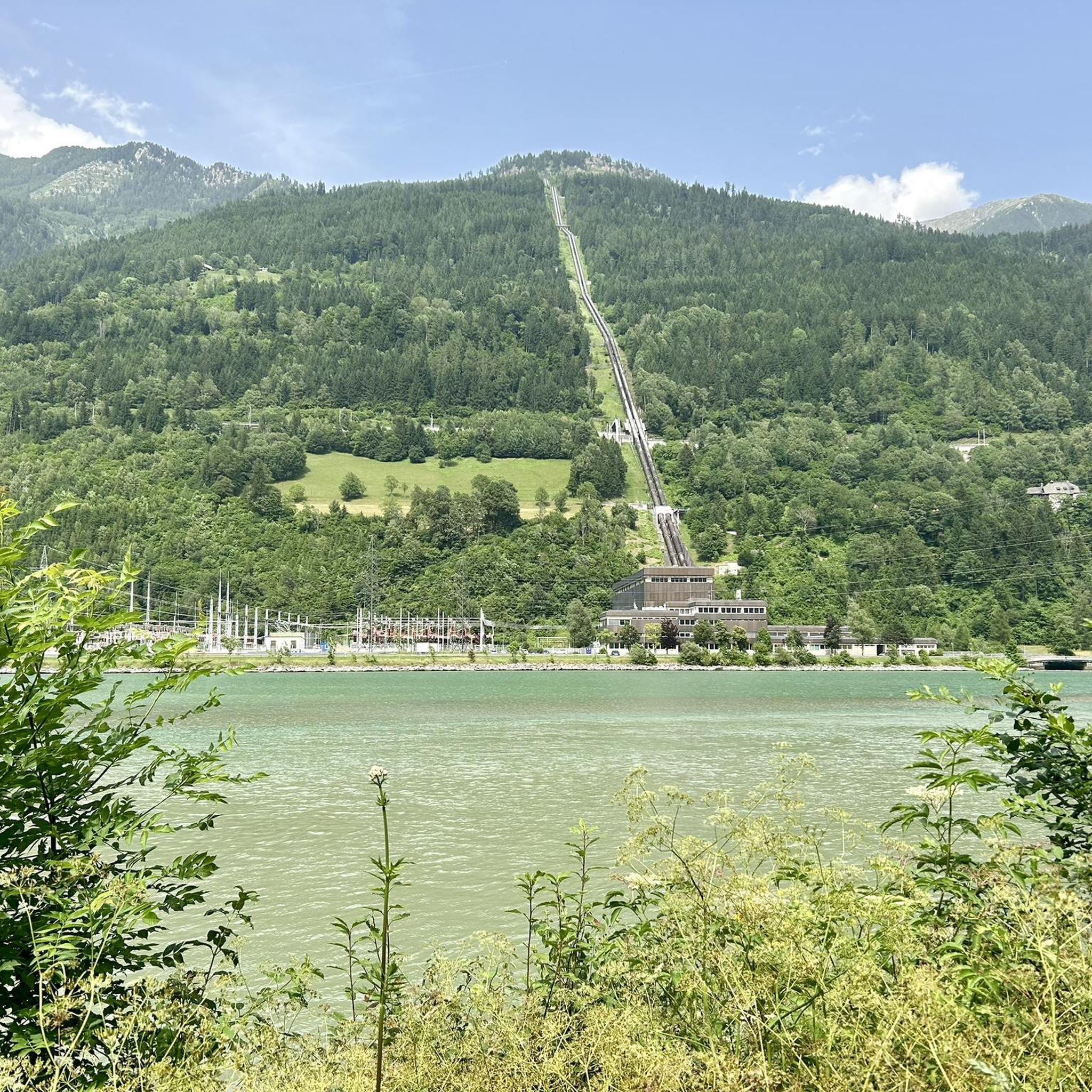
While running, you might encounter several points of interest related to the region's hydroelectric power. These include the Rottau Pumped Storage Power Plant, the Malta-Reisseck Hydroelectric Power Station, and the Wehr Rottau. You'll also pass by natural features like the Möllstaubecken and the Reservoir at the Power Plant.
Are there any circular running routes available?
Yes, many of the running routes in the Ausgleichsbecken Rottau area are circular, offering convenient starting and ending points. Examples include the Vikings in Mühldorf loop from Mühldorf and the Mühldorferhütte snack station loop from Reißeck-Kreuzeck, allowing you to return to your starting point without retracing your steps.
What do other runners enjoy most about jogging in Ausgleichsbecken Rottau?
The area is highly rated by the komoot community, with an average score of 4.25 stars. Runners often praise the gentle river valleys, scenic paths around the basin, and the mix of open views with some forested sections, which provide a varied and enjoyable running experience.
Are there any cafes or snack stations along the running routes?
Yes, some routes, such as the Mühldorferhütte snack station loop from Mühldorf, pass by snack stations like the Mühldorferhütte. These can be great spots for a short break and refreshment during or after your run.
What is the best time of year for running in this region?
The gentle terrain and varied scenery make Ausgleichsbecken Rottau suitable for running throughout much of the year. Spring and autumn offer pleasant temperatures and beautiful natural colors, while summer provides longer daylight hours. Even in winter, with appropriate gear, the paths can be enjoyable, though conditions may vary.
How many running routes are available in the Ausgleichsbecken Rottau area?
There are over 30 dedicated running routes around Ausgleichsbecken Rottau, offering a wide selection for all preferences and fitness levels. This includes 1 easy, 30 moderate, and 3 difficult trails.
Most popular routes around Ausgleichsbecken Rottau
Most popular attractions around Ausgleichsbecken Rottau

Get inspired with the komoot mobile app


Explore more
Browse the best Running Trails & Routes in other regions.
