The best running trails around Unterer Bockhartsee
4.5
(60)
2,702
runners
51
runs
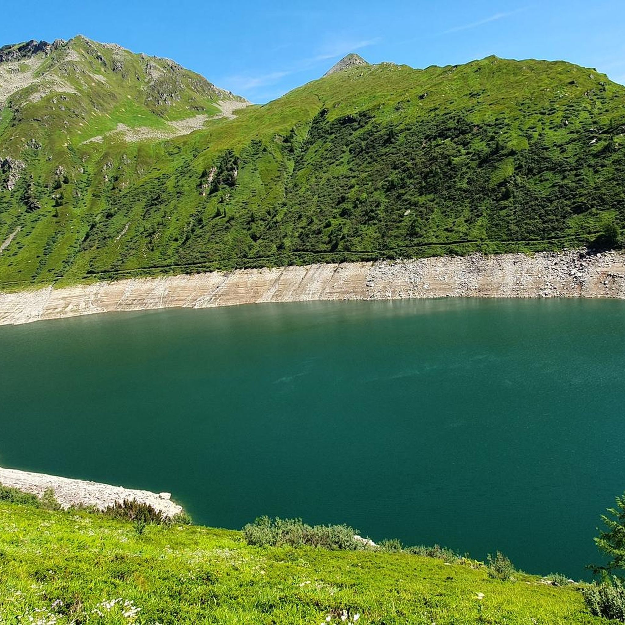
Jogging around Unterer Bockhartsee offers diverse trails within a dramatic alpine landscape. The region features the deep blue hues of the lake itself, situated at an elevation of 1,872 meters, surrounded by alpine pastures and rugged sections. Historical gold mining relics are present along some paths, adding a unique element to the natural setting. This varied terrain provides a range of running experiences for different fitness levels.
Best jogging routes around Unterer Bockhartsee
- The most popular jogging route is Elisabeth…
Last updated: June 26, 2026
8
runners
4.63km
01:02
390m
390m
Hard run. Very good fitness required. Sure-footedness, sturdy shoes and alpine experience required.
5
runners
29.2km
05:29
1,910m
1,920m
Hard run. Very good fitness required. Sure-footedness, sturdy shoes and alpine experience required.

Sign up for free
5.0
(5)
54
runners
7.95km
00:58
210m
210m
Hard run. Good fitness required. Sure-footedness, sturdy shoes and alpine experience required.
5.0
(1)
19
runners
14.6km
02:10
700m
700m
Hard run. Very good fitness required. Sure-footedness, sturdy shoes and alpine experience required.
5.0
(1)
15
runners
17.8km
02:50
800m
800m
Hard run. Very good fitness required. Sure-footedness, sturdy shoes and alpine experience required.
Get access to more routes and recommendations from other explorers.
Sign up for free
Already have an account?
Our route recommendations are based on thousands of hikes, rides, and runs completed by other people on komoot.
Start today with a free account
Your next adventure awaits.
Login or Signup
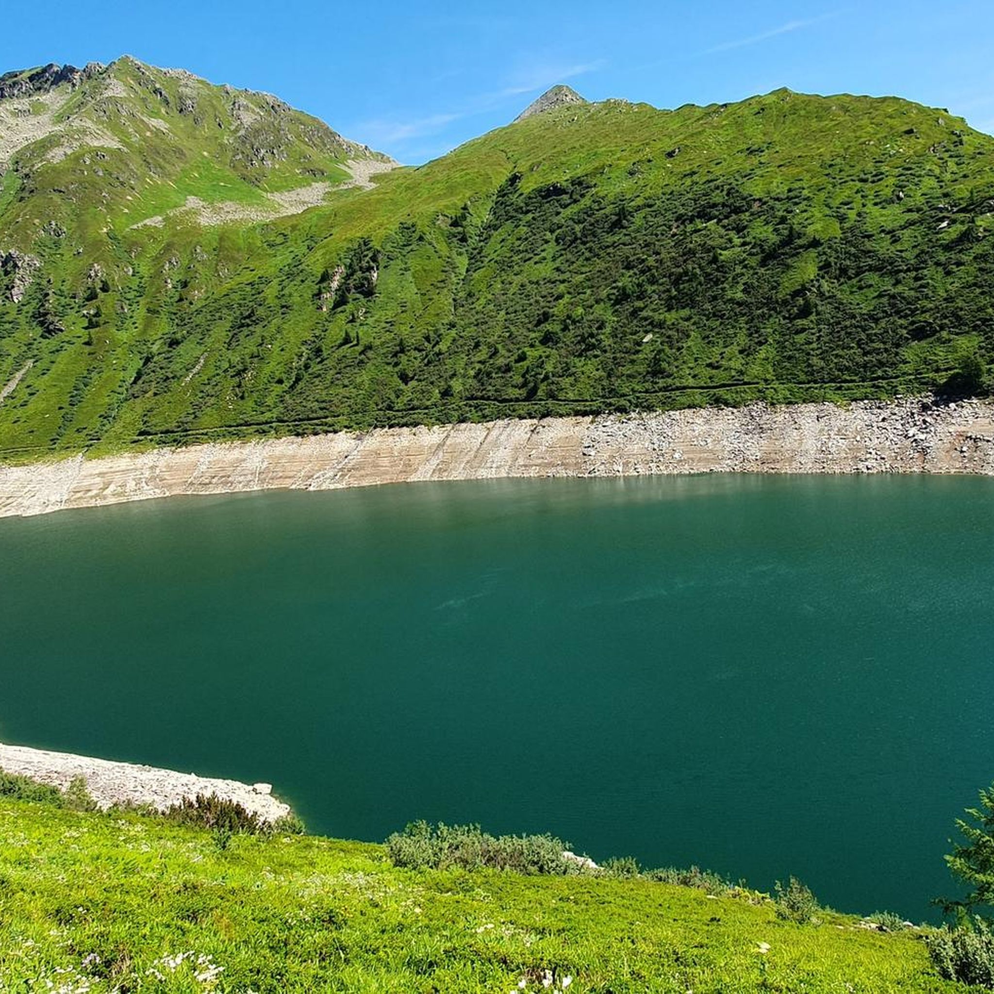
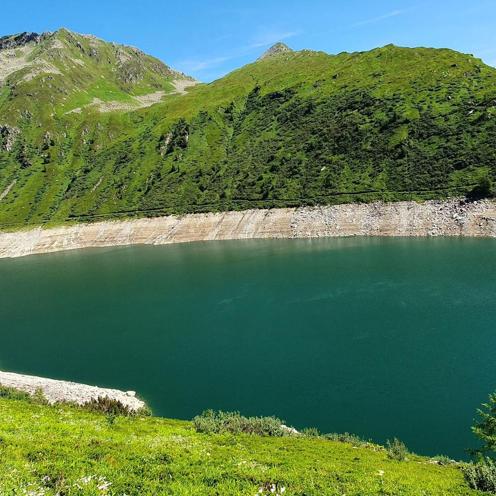
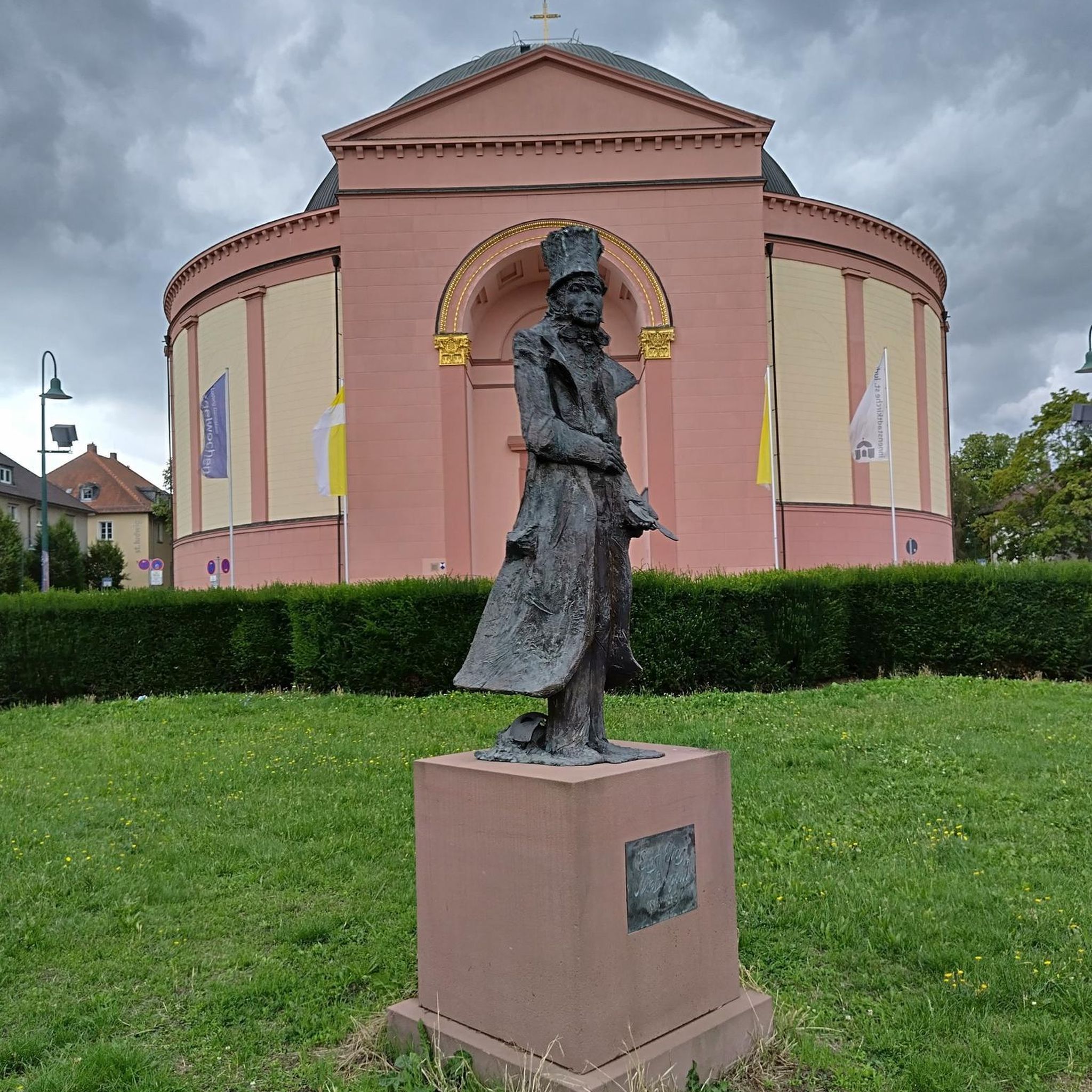
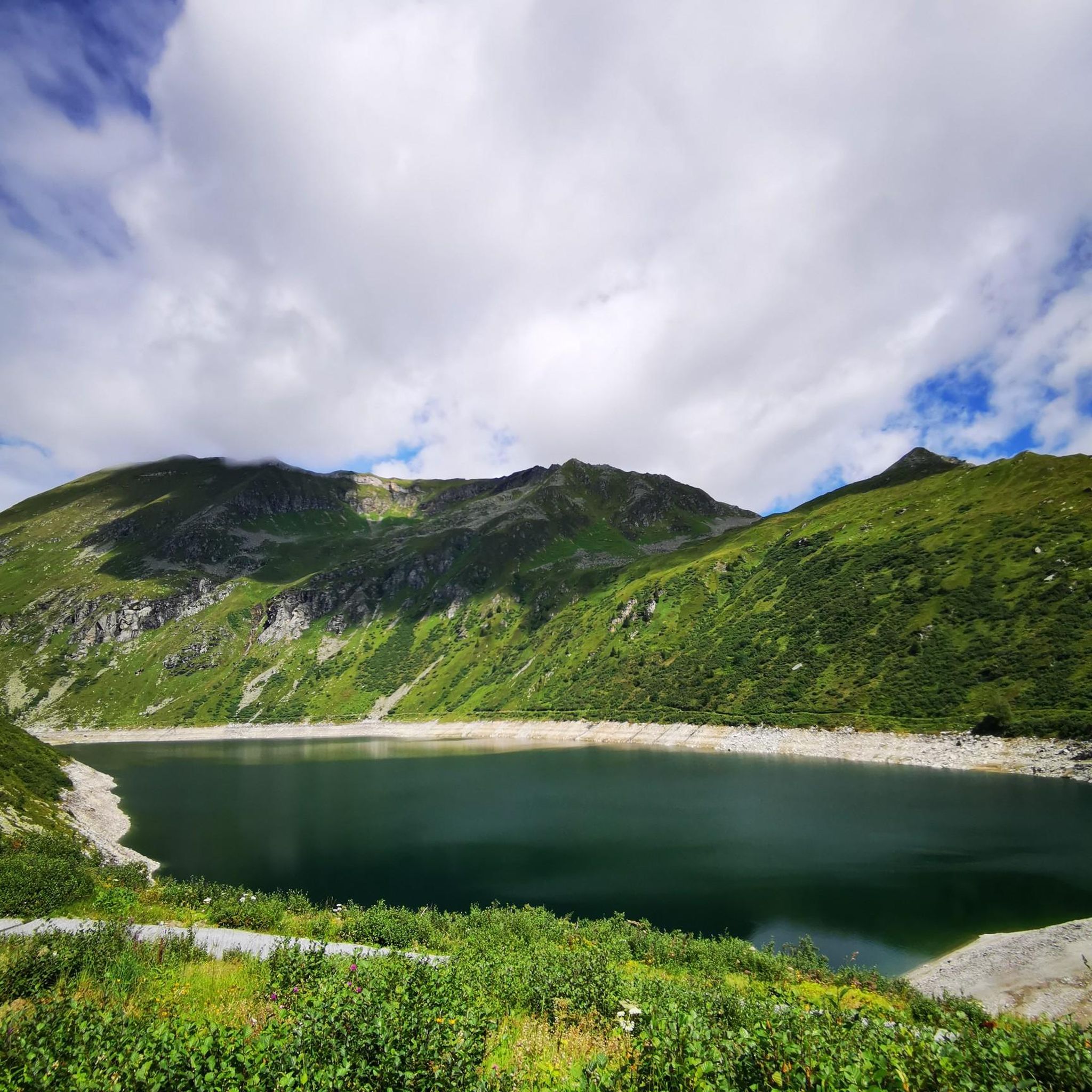
Tips from the Community

beautiful alpine pasture, but unfortunately closed in winter
0
0

We were there 2 days ago, it was very beautiful up there even in autumn.
1
0

Super nice cycle path with great surface
0
0

Rustic hut for a break or as a destination for a short hike from the lift station
0
0

Small mining museum in the historic part of Böckstein. Opening hours: May to September: Tuesday - Sunday: 2:30 p.m. - 5:30 p.m. Admission: €5.00/person (€4.00 with Gastein Card) Guided tours: Tuesdays and Thursdays at 3:00 p.m. "Technology Then and Now" (groups of 5 or more) Price: €9.00/person (€8.00 with Gastein Card)
3
0
Easily accessible from the summit of the Stubnerkogel. Basic fitness, surefootedness, and a head for heights are required. There is an easier route to the summit signposted, but this should not be underestimated due to the truly steep terrain, especially in the last third below the summit.
7
0
The Naßfelder Ache rises on the Naßfelder Alm and flows into the Gasteiner Ache after 8 km in Böckstein.
10
0
The pilgrimage church is already visible from afar due to its domed roof and its location. It is open but is currently undergoing renovation (July 2025). Due to the scaffolding inside, not much is visible except for the ceiling painting.
10
0
Frequently Asked Questions
How many running routes are available around Unterer Bockhartsee?
There are over 50 dedicated running routes around Unterer Bockhartsee, offering a wide range of experiences for different fitness levels. The komoot community has explored these trails over 2600 times, highlighting their popularity.
What are the general difficulty levels of running trails in this area?
The running trails around Unterer Bockhartsee cater to various fitness levels. While many of the 52 routes are classified as difficult (39 routes), there are also 13 moderate options. The terrain can range from initially steep sections with roots and wooden stairs to easier, well-marked paths around the lake itself.
Are there easy running routes suitable for beginners or casual joggers?
Yes, for those seeking a more moderate or easier run, a short circular trail around the Lower Bockhartsee is available. This loop often utilizes a well-marked path over the dam and is described as having mostly accessible paths, suitable for all skill levels. A forest road also provides a longer and easier descent option.
What kind of terrain can I expect on the running trails around Unterer Bockhartsee?
The terrain is diverse, characterized by dramatic alpine scenery. You'll encounter alpine pastures, rugged sections, and paths that can be initially quite steep, involving roots, wooden stairs, and even cable protections, especially on ascents from Sportgastein. Around the lake, paths are generally easier and well-marked.
Are there any family-friendly running options, perhaps suitable for strollers?
While many trails are challenging, a forest road offers a longer and easier descent option that can accommodate strollers for part of the way, despite a 300-meter altitude difference. This allows families to enjoy some sections of the beautiful alpine landscape.
Where can I park when visiting the running trails near Unterer Bockhartsee?
Popular starting points like Sportgastein and Böckstein typically offer parking facilities. From Sportgastein, you can access routes leading towards the lake and the Bockhartseehütte. The Valeriehaus at Sportgastein also serves as a convenient access point with parking nearby.
Are there any circular running trails available?
Yes, circular routes are a great way to experience the area. For example, the Elisabeth Church loop from Böckstein is a popular 4.6 km circular route. Another option is the Nassfelder Ache – Montan Museum Altböckstein loop from Böckstein, which is 8.0 km long and takes you through river valleys and past historical sites.
What interesting sights or landmarks can I see along the running routes?
The routes offer breathtaking alpine scenery, including the deep blue hues of Unterer Bockhartsee itself. You can also spot historical gold mining relics along paths like the Nassfeld Nature Trail. The Nassfelder Ache – Montan Museum Altböckstein loop from Böckstein specifically passes by historical mining sites. Additionally, the Bockhartseehütte is a notable mountain hut often serving as a refreshment stop.
Are there any routes that feature waterfalls?
Yes, waterfalls are a highlight of the region. Cascades like the 'Thundering Waterfall' add to the scenic grandeur, particularly between the Unterer and Oberer Bockhartsee. More challenging routes, such as the 14.6 km 'Thundering Waterfall – Oberer Bockhartsee loop' (a hard hike), specifically incorporate these natural wonders.
What do other runners enjoy the most about jogging in Unterer Bockhartsee?
The area is highly rated by the komoot community, with an average score of 4.5 stars from over 50 reviews. Reviewers often praise the dramatic alpine scenery, the deep blue lake, and the unique historical gold mining relics that add character to the trails. The variety of routes catering to different fitness levels is also frequently appreciated.
Can I find longer, more challenging running routes for experienced trail runners?
Absolutely. For experienced trail runners, there are numerous challenging options. Routes like the Tischkogel – Elisabeth Church loop from Böckstein, a difficult 29.1 km path with significant elevation gain, provide extensive alpine views and a demanding profile. The 8.57 km 'Bockhart Lakes' hike also offers 530m of elevation gain, requiring good fitness.
Are there any mountain huts or places to stop for refreshments along the trails?
Yes, the Bockhartseehütte is a prominent mountain hut located near the lake, often serving as a convenient starting or ending point for various routes, where visitors can stop for refreshments and enjoy the views.
Most popular routes around Unterer Bockhartsee

Get inspired with the komoot mobile app


Explore more
Browse the best Running Trails & Routes in other regions.
