The best road cycling routes around Notre-Dame-du-Mont-Carmel
4.3
(21)
781
riders
19
rides
Road cycling routes around Notre-Dame-du-Mont-Carmel traverse a landscape featuring river valleys, agricultural areas, and small communities. The region's terrain includes gentle ascents and descents, suitable for various road cycling experiences. Routes often pass by local landmarks such as covered bridges and parklands.
Best road cycling routes around Notre-Dame-du-Mont-Carmel
- The most popular road cycling route is Traditional Covered Bridge loop from Shawinigan, a 37.9 miles (61.1 km) trail that takes 2 hours 31 minutes to complete. This route features a…
Last updated: July 8, 2026
4.8
(6)
79
riders
61.1km
02:32
420m
420m
Moderate road ride. Good fitness required. Mostly well-paved surfaces and easy to ride.
3.0
(2)
29
riders
51.6km
02:08
230m
230m
Moderate road ride. Good fitness required. Some segments of this route may be unpaved and difficult to ride.

Sign up for free
23
riders
72.9km
03:07
480m
480m
Moderate road ride. Good fitness required. Mostly well-paved surfaces and easy to ride.
4.5
(2)
16
riders
Moderate road ride. Great for any fitness level. Some segments of this route may be unpaved and difficult to ride.
18
riders
53.8km
02:12
250m
250m
Moderate road ride. Good fitness required. Some segments of this route may be unpaved and difficult to ride.
Get access to more routes and recommendations from other explorers.
Sign up for free
Already have an account?
Our route recommendations are based on thousands of hikes, rides, and runs completed by other people on komoot.
Start today with a free account
Your next adventure awaits.
Login or Signup
Popular around Notre-Dame-du-Mont-Carmel
Tips from the Community

Parc linéaire des Coteaux is a paved 2.8-kilometre multi-use path that follows Boulevard des Chenaux through gently rolling terrain, connecting Rue De Normanville and Rue Papineau. Designed for walking, running, cycling, and inline skating, the route passes parks, landscaped areas, and open green space, providing a safe, traffic-free connection across the neighbourhood. Named after the historic “coteaux” (hillsides) of Trois-Rivières, the park is ideal for commuting and an easy trail for a casual stroll.
0
0
Parc Roland-Leclerc, adjacent to Jacques-Buteux School, is a lovely neighbourhood green space with sports areas, open lawns, and a play area connected to the school grounds. The park is a hub for both residents and students, with plenty of room for outdoor activities and community use in a largely residential setting. Surrounded by mature trees and neighbourhood streets, it’s a great place for a break along the linear path and a convenient spot for families to relax and while children play close to home.
0
0

Somewhat hidden away you can find some beautiful street art paintings.
4
0

From this place, you will have the opportunity to stop for a break on the banks of the Canadian King River. Opposite, you can see the town of Bécancour. Trois-Rivières is an important port activity where you can take a curious look at the huge cargo ships that pass there.
1
0
Saint-Élie-de-Caxton is a town known in Quebec for being the birthplace of Fred Pellerin, storyteller and singer. The city is full of nods to the Quebec poet, such as the "elves' crossings" which cross the road in certain places or even a "paparmane tree", a tree where candy grows.
1
0
Frequently Asked Questions
How many road cycling routes are available in Notre-Dame-du-Mont-Carmel?
There are over 20 road cycling routes around Notre-Dame-du-Mont-Carmel, offering a variety of experiences for different skill levels. You'll find options ranging from easy to difficult, with the majority being moderate.
Are there easy road cycling routes suitable for beginners in Notre-Dame-du-Mont-Carmel?
Yes, Notre-Dame-du-Mont-Carmel offers 5 easy road cycling routes. These routes typically feature gentle terrain, making them ideal for beginners or those looking for a relaxed ride. The region's landscape of river valleys and agricultural areas provides a pleasant, less challenging environment.
What kind of terrain can I expect on road cycling routes in Notre-Dame-du-Mont-Carmel?
Road cycling routes in Notre-Dame-du-Mont-Carmel traverse a diverse landscape, including river valleys, agricultural fields, and small communities. You can expect gentle ascents and descents, with some routes featuring more challenging climbs. The terrain is generally well-suited for road bikes.
Are there any circular road cycling routes in the area?
Many of the road cycling routes in Notre-Dame-du-Mont-Carmel are designed as loops, allowing you to start and finish at the same point. For example, the Traditional Covered Bridge loop from Shawinigan is a popular circular route that takes you through scenic rural roads and past a local landmark.
What are some scenic highlights I can see along the road cycling routes?
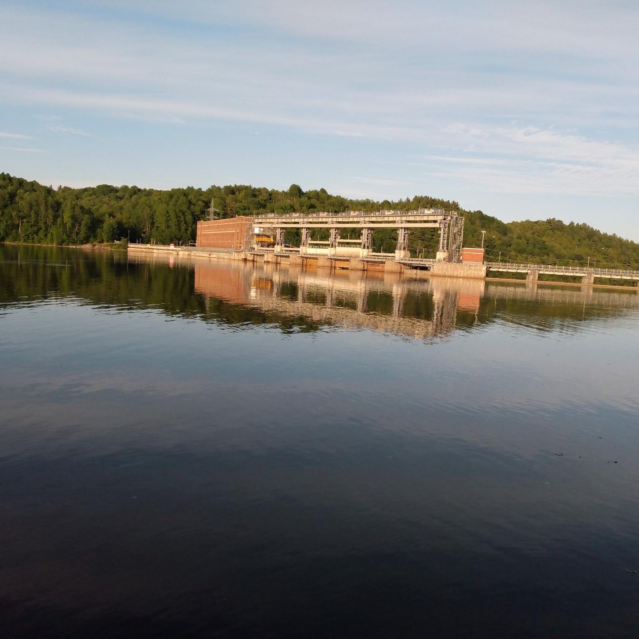
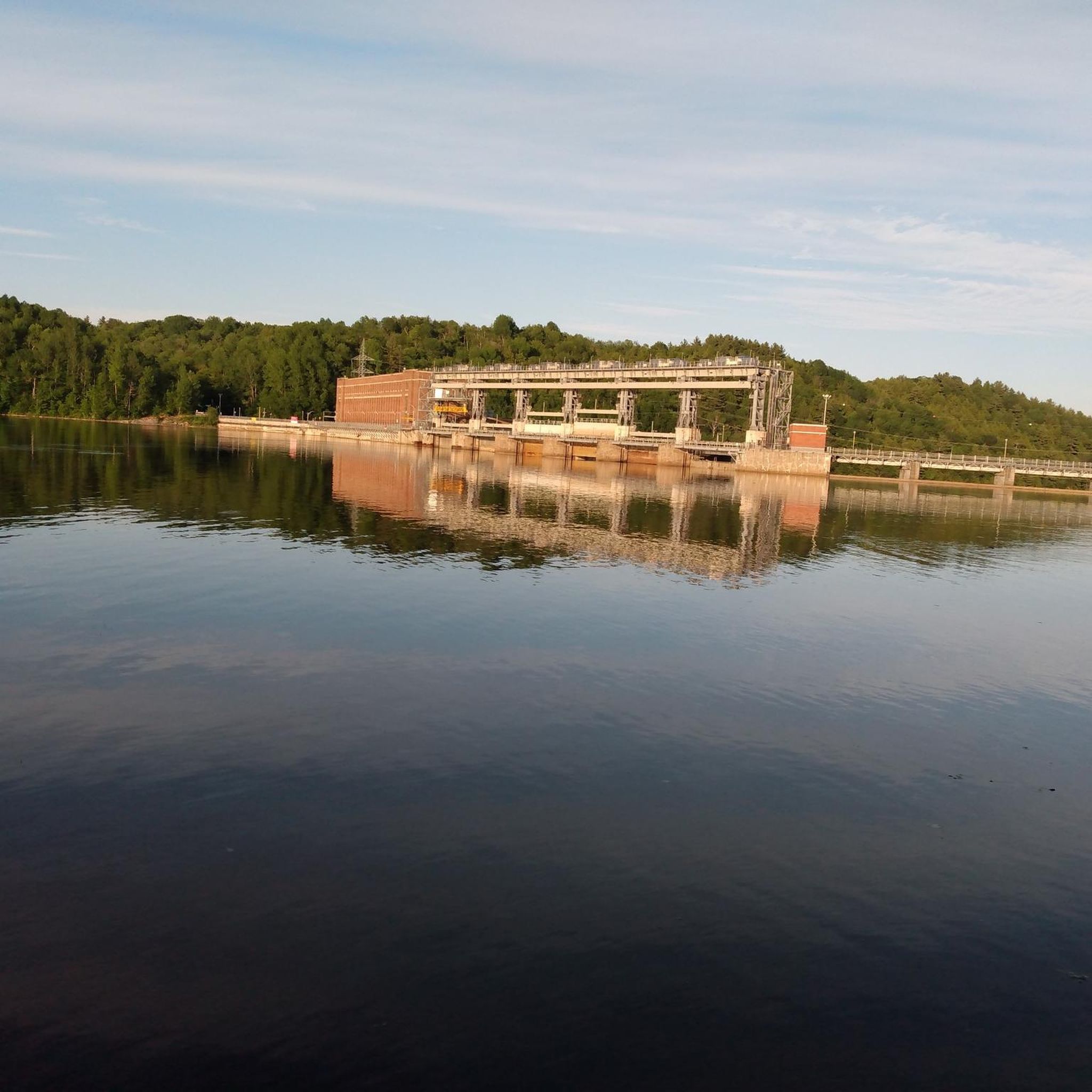
The routes often pass by local landmarks and natural features. You can expect to see traditional covered bridges, such as on the Traditional Covered Bridge loop from Shawinigan. Other routes, like Street Art on Hart Street – La Gabelle Dam loop from CPE, combine urban street art with views of the La Gabelle Dam, while the Étang aux Oies – Étendu du Parc de la Rivière loop from Shawinigan leads through parklands and near ponds.
What do other road cyclists enjoy most about road cycling in Notre-Dame-du-Mont-Carmel?
The area is highly rated by the komoot community, with an average score of 4.4 stars from around 20 reviews. Road cyclists often praise the varied terrain, which includes river paths and rural roads, as well as the local points of interest like covered bridges that make for a unique riding experience.
Are there any advanced or challenging road cycling routes?
Yes, for experienced road cyclists seeking a challenge, there is 1 difficult route available in Notre-Dame-du-Mont-Carmel. Additionally, 15 moderate routes offer varying levels of elevation gain and distance, such as the Saint-Élie-de-Caxton loop from Shawinigan, which features over 500 meters of elevation gain.
What is the typical distance and duration for road cycling routes here?
Route distances vary significantly. For example, the Street Art on Hart Street loop from boulevard Parent/face Tebbutt is a shorter option at about 25 km, taking around 1 hour 40 minutes. Longer routes, like the Saint-Élie-de-Caxton loop from Shawinigan, can be over 77 km and take around 3 hours 17 minutes to complete.
What is the best time of year for road cycling in Notre-Dame-du-Mont-Carmel?
While specific data isn't provided, regions with river valleys and agricultural areas like Notre-Dame-du-Mont-Carmel typically offer excellent road cycling conditions from late spring through early autumn. During these months, the weather is generally mild, and the scenery is vibrant, making for enjoyable rides.
Are there any routes that pass through urban areas or offer cultural sights?
Yes, some routes blend natural scenery with urban elements. The Street Art on Hart Street – La Gabelle Dam loop from CPE is a notable example, combining views of urban street art with the natural and engineered landscape around the dam, offering a unique cultural dimension to your ride.
Where can I find parking for road cycling routes in Notre-Dame-du-Mont-Carmel?
Many routes are loops that start and end in communities like Shawinigan or near specific points of interest, where parking is generally available. For routes originating from urban centers or popular landmarks, look for designated parking areas nearby. Always check local signage for parking regulations.
Most popular routes around Notre-Dame-du-Mont-Carmel
Most popular attractions around Notre-Dame-du-Mont-Carmel

Get inspired with the komoot mobile app


Explore more
Browse the best Road cycling routes in other regions.
