The best road cycling routes around Salzastausee
4.6
(65)
2,349
riders
38
rides
Road cycling around Salzastausee offers routes through a landscape defined by the fjord-like reservoir, surrounded by the Grimming and Kemetgebirge mountains. This region features steep rock faces, the emerald-colored Salza river, and is situated within a nature reserve. While direct road cycling along the L729 lakeside road is restricted due to rockfall, the broader area provides numerous paved paths for exploration.
Best road cycling routes around Salzastausee
- The most popular road cycling route is Grundlsee – Grundlsee Boat Tour loop…
Last updated: July 5, 2026
5.0
(1)
151
riders
143km
07:35
2,580m
2,580m
Hard road ride. Very good fitness required. Some segments of this route may be unpaved and difficult to ride.
4.9
(11)
233
riders
56.9km
02:39
640m
640m
Moderate road ride. Good fitness required. Mostly well-paved surfaces and easy to ride.

Sign up for free
5.0
(2)
97
riders
37.7km
02:43
1,150m
1,150m
Hard road ride. Very good fitness required. Mostly well-paved surfaces and easy to ride.
34
riders
128km
06:23
1,740m
1,740m
Hard road ride. Very good fitness required. Mostly well-paved surfaces and easy to ride.
24
riders
161km
07:43
2,210m
2,210m
Hard road ride. Very good fitness required. Some segments of this route may be unpaved and difficult to ride.
Get access to more routes and recommendations from other explorers.
Sign up for free
Already have an account?
Our route recommendations are based on thousands of hikes, rides, and runs completed by other people on komoot.
Start today with a free account
Your next adventure awaits.
Login or Signup
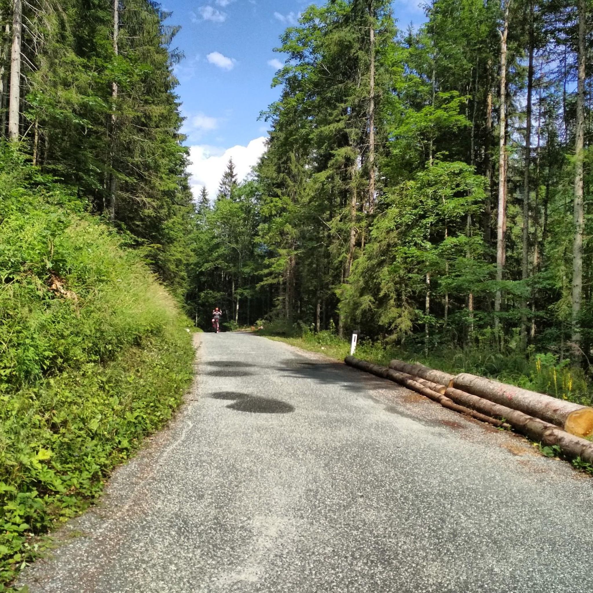
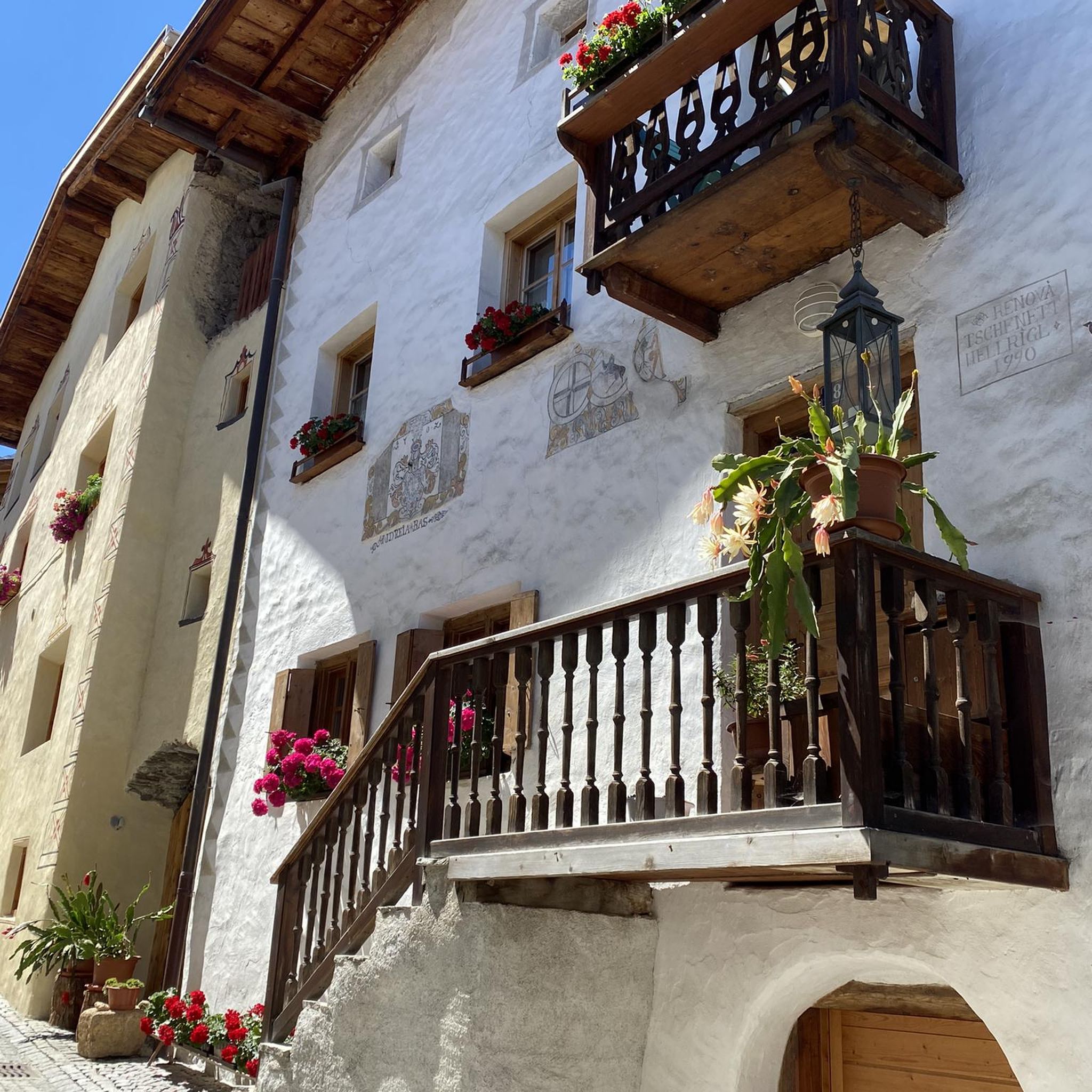
Tips from the Community

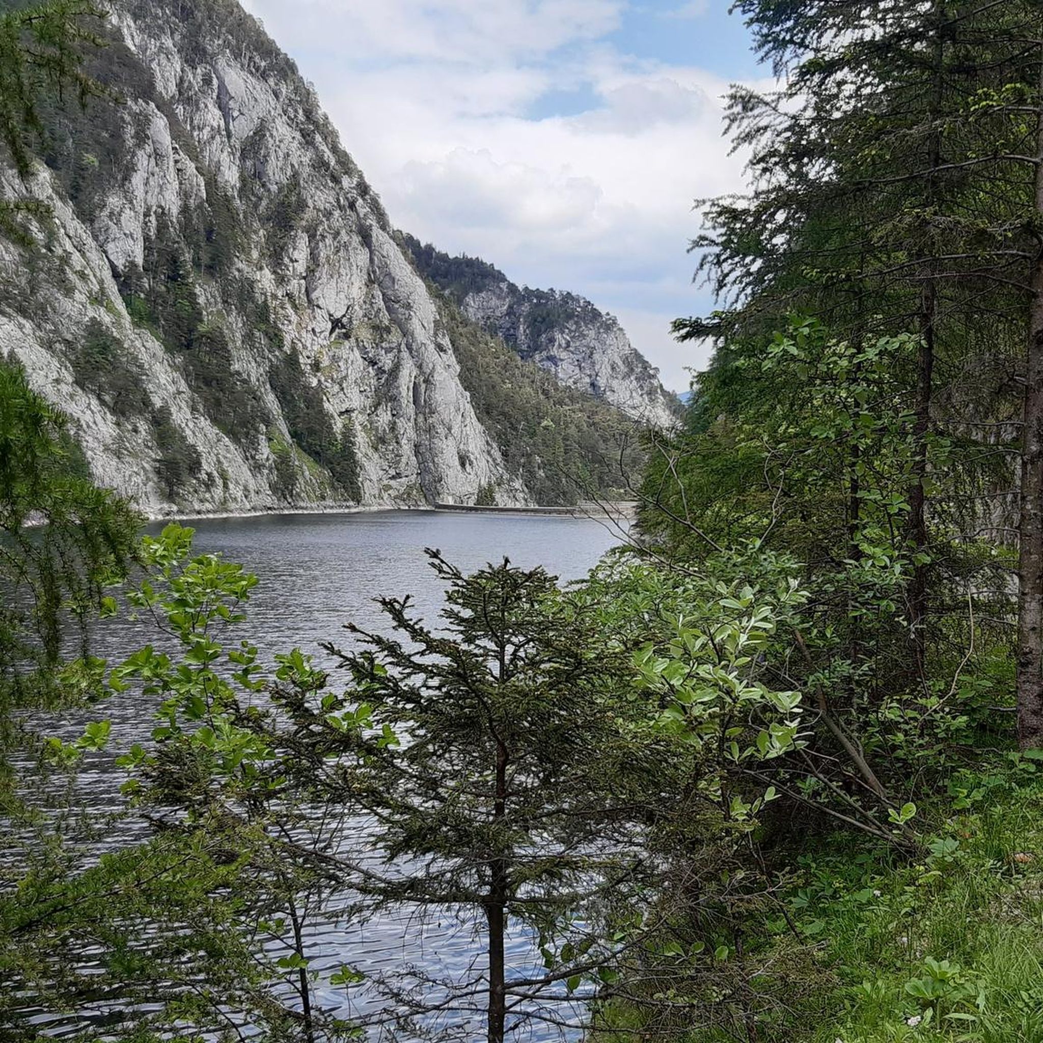
Beautiful view of the lake from the bike path
0
0


The Toidlbach Waterfall is located directly on the Postalm road and is easily visible. The stream cascades over a striking rock face, creating an impressive natural spectacle, especially during rain or snowmelt. For cyclists on the ascent to the Postalm, the waterfall offers a welcome opportunity to pause for a moment and enjoy the natural beauty of the surrounding area.
1
0

Stoderzinken with a visit to the Kicherl is a must in Gröbming
0
0

The Rossfeld parking area on the Stoderzinken mountain is a great starting point for your hikes, located directly on the toll road, the Stoderzinken Panorama Road. If you're coming from Gröbming, it's only about a 13-kilometer drive. The parking area is right next to the popular Rosemi Alm mountain hut, a perfect spot for a break. From here, you can immediately set off on the trail to the Stoderzinken summit, where a magnificent view awaits you! The Friedenskircherl (Peace Chapel) is also nearby and invites you to a moment of quiet reflection. The surrounding area is quite picturesque and full of beautiful hiking trails, ideal for all ages. Don't forget to pack plenty of provisions, as nature has a lot to offer! So, lace up your hiking boots and discover the stunning mountain scenery around the Stoderzinken!
1
0

Frequently Asked Questions
What kind of terrain can I expect when road cycling around Salzastausee?
The Salzastausee region offers a diverse road cycling experience, characterized by its fjord-like reservoir and surrounding Grimming and Kemetgebirge mountains. You'll encounter routes with moderate elevation gains as well as more challenging climbs, often featuring steep rock faces and views of the emerald-colored Salza river. The area is within a nature reserve, providing picturesque natural beauty.
Are there any restrictions for road cyclists directly along the Salzastausee lake?
Yes, it's important to note that the state road (L729) directly along the Salza-Stausee, connecting Bad Mitterndorf and St. Martin, is closed to cyclists and pedestrians due to the risk of rockfall. However, the broader surrounding areas offer numerous paved paths suitable for road biking, allowing you to explore the beautiful Alpine landscape safely.
How many road cycling routes are available in the Salzastausee area?
There are over 40 road cycling routes available around Salzastausee, catering to various fitness levels. This includes 7 easy routes, 25 moderate routes, and 11 difficult routes, ensuring options for everyone from beginners to advanced cyclists.
What are some popular road cycling routes for different difficulty levels?
For a moderate ride, consider the Grundlsee – Grundlsee Boat Tour loop from Bad Mitterndorf-Heilbrunn, which is about 35 miles long. If you're looking for a more challenging experience, the Postalm Panorama Road – Hallstatt loop from Bad Mitterndorf-Heilbrunn offers a difficult 88-mile path with extensive panoramic views. Another difficult option is the Gröbming – Gröbminger Alm loop from Mitterberg-Sankt Martin, leading through alpine pastures.
What do other cyclists say about road cycling in Salzastausee?
The road cycling routes in Salzastausee are highly rated by the komoot community, with an average score of 4.6 stars from over 70 reviews. Cyclists often praise the diverse terrain, the stunning fjord-like scenery, and the well-maintained paths in the surrounding areas.
Are there any notable landmarks or natural features to see along the road cycling routes?
Beyond the stunning fjord-like reservoir itself, you can encounter several points of interest. The impressive 121-meter-long and 53-meter-high dam, constructed between 1947 and 1949, is a significant landmark. The routes also offer views of the majestic Grimming Mountain Range and the Wolfgang Loitzl Ski Jump. The emerald-colored Salza river, flowing through the Styrian Eisenwurzen Nature Park, is another beautiful natural feature.
What is the best time of year for road cycling around Salzastausee?
The best time for road cycling around Salzastausee is typically from spring through autumn when the weather is mild and the paths are clear. While the region is beautiful year-round, winter conditions can bring snow and ice, making some routes less accessible or more challenging for road bikes.
Are there any family-friendly road cycling options in the Salzastausee area?
While the immediate lakeside road has restrictions, the broader region offers numerous paved paths suitable for various fitness levels, including easier routes. With 7 easy routes available, families can find suitable options to enjoy the scenic landscape. It's recommended to check individual route details on komoot for specific difficulty and terrain information to ensure it meets your family's needs.
Can I find loop trails for road cycling in Salzastausee?
Yes, the Salzastausee area features many loop trails, providing diverse experiences without needing to retrace your path. Examples include the Grundlsee – Grundlsee Boat Tour loop and the Postalm Panorama Road – Hallstatt loop, among others.
Are there options for advanced road cyclists seeking a challenge?
Absolutely. The Salzastausee region offers 11 difficult road cycling routes designed for advanced cyclists. These routes often feature significant elevation gains and longer distances, such as the Postalm Panorama Road – Hallstatt loop with over 2,500 meters of elevation gain, or the Tauplitzalm Alpine Road loop, which presents a demanding climb.
Where can I find parking for road cycling routes around Salzastausee?
While specific parking locations are route-dependent, many road cycling routes around Salzastausee originate from towns like Bad Mitterndorf-Heilbrunn or Mitterberg-Sankt Martin. These starting points typically offer designated parking areas suitable for cyclists. It's advisable to check the route details on komoot for specific parking recommendations for your chosen tour.
Are there any cafes or places to stop for refreshments along the road cycling routes?
Yes, the towns and villages surrounding Salzastausee, such as Bad Mitterndorf and areas near Ödensee, offer various cafes, pubs, and accommodations where cyclists can stop for refreshments or a meal. Many routes are designed to pass through or near these amenities, providing convenient breaks during your ride.
Most popular routes around Salzastausee

Get inspired with the komoot mobile app


Explore more
Browse the best Road cycling routes in other regions.
