The best mountain hikes around Lake Pressegg
4.9
(21)
140
hikers
11
hikes
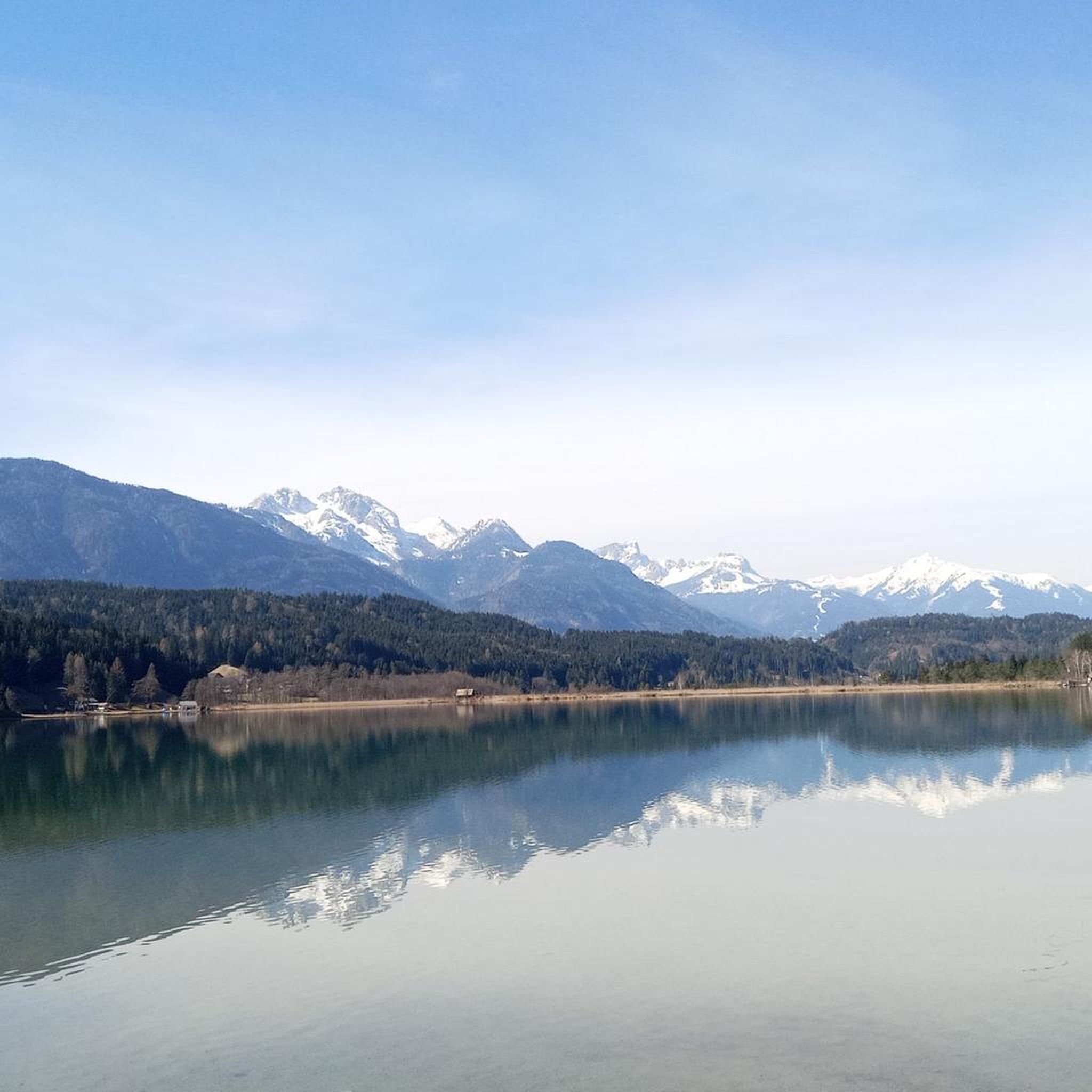
Mountaineering routes around Lake Pressegg are set within the scenic Nassfeld-Pressegger See region, characterized by the dramatic Carnic and Gailtal Alps. The landscape features a unique blend of alpine terrain and the warm waters of Lake Pressegg, which is surrounded by forests and meadows. Elevations for mountaineering activities in the broader region range from approximately 600 m to 2,800 m above sea level, offering diverse challenges from lake-level paths to high mountain ascents. The area also includes geological features of…
Last updated: August 18, 2026
5.0
(1)
4
hikers
6.74km
02:17
340m
330m
Hard mountaineering route. Good fitness required. Sure-footedness, sturdy shoes and alpine experience required.
5.0
(2)
11
hikers
12.4km
07:44
1,410m
1,410m
Hard mountaineering route. Very good fitness required. Sure-footedness, sturdy shoes and alpine experience required.

Sign up for free
4.6
(5)
16
hikers
5.27km
02:28
390m
390m
Hard mountaineering route. Good fitness required. Sure-footedness, sturdy shoes and alpine experience required.
5.0
(1)
6
hikers
3.28km
01:33
270m
260m
Moderate mountaineering route. Great for any fitness level. Mostly accessible paths. Sure-footedness required.
5.0
(1)
6
hikers
18.4km
07:35
1,190m
1,190m
Hard mountaineering route. Very good fitness required. Sure-footedness, sturdy shoes and alpine experience required.
Get access to more routes and recommendations from other explorers.
Sign up for free
Already have an account?
Our route recommendations are based on thousands of hikes, rides, and runs completed by other people on komoot.
Start today with a free account
Your next adventure awaits.
Login or Signup
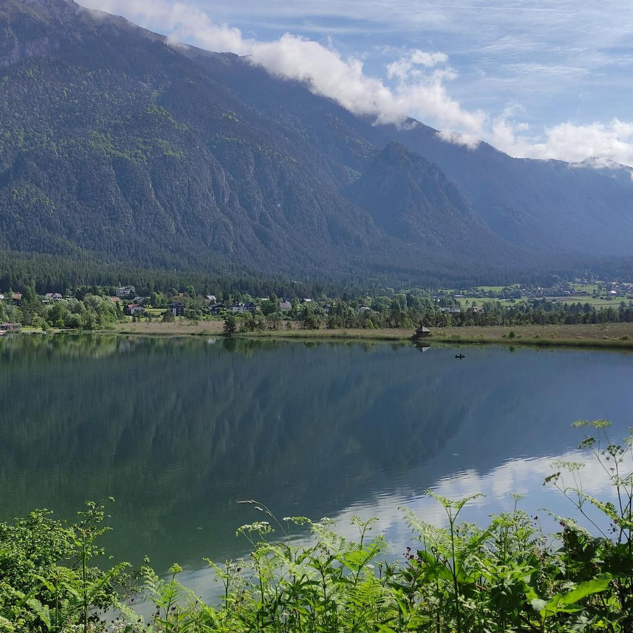
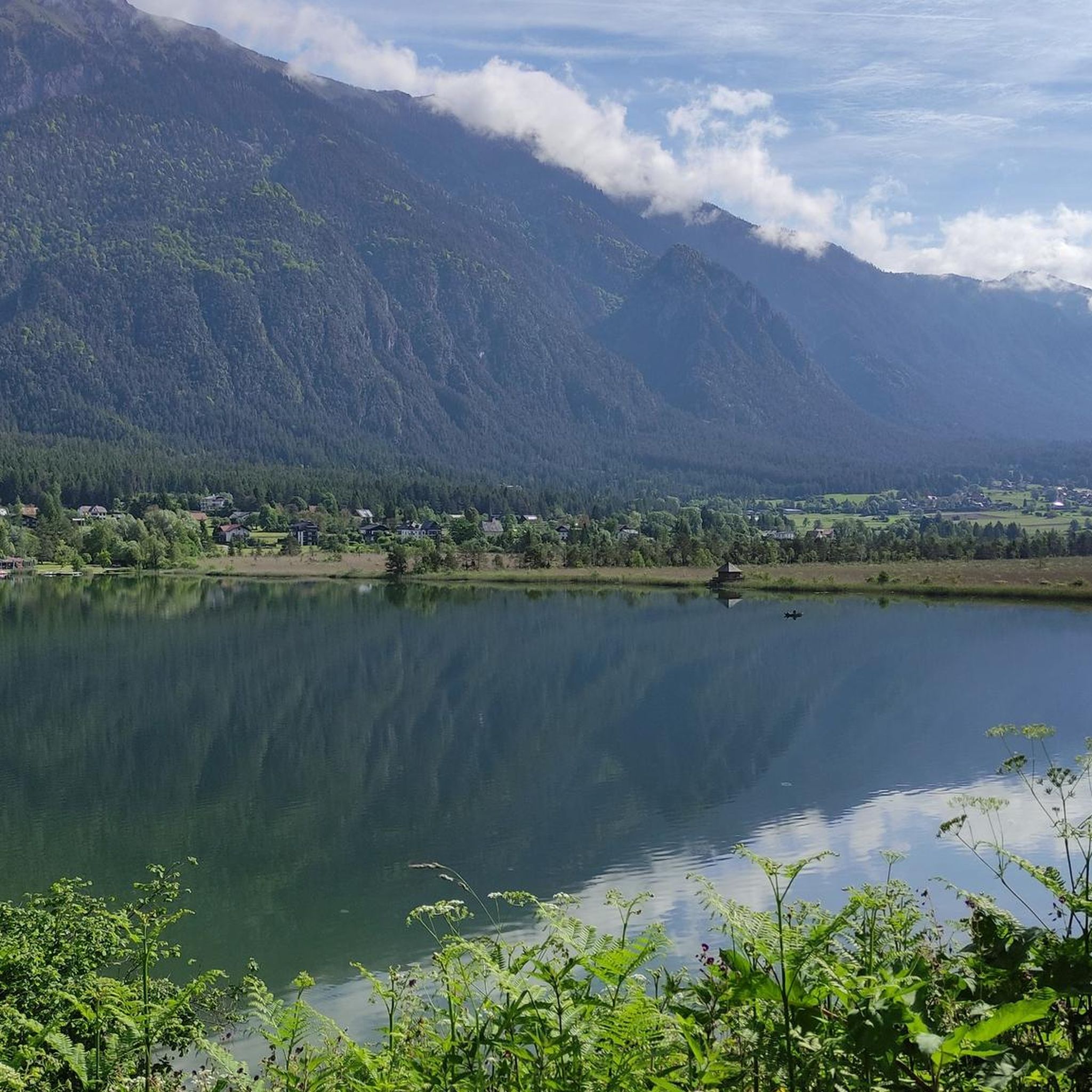
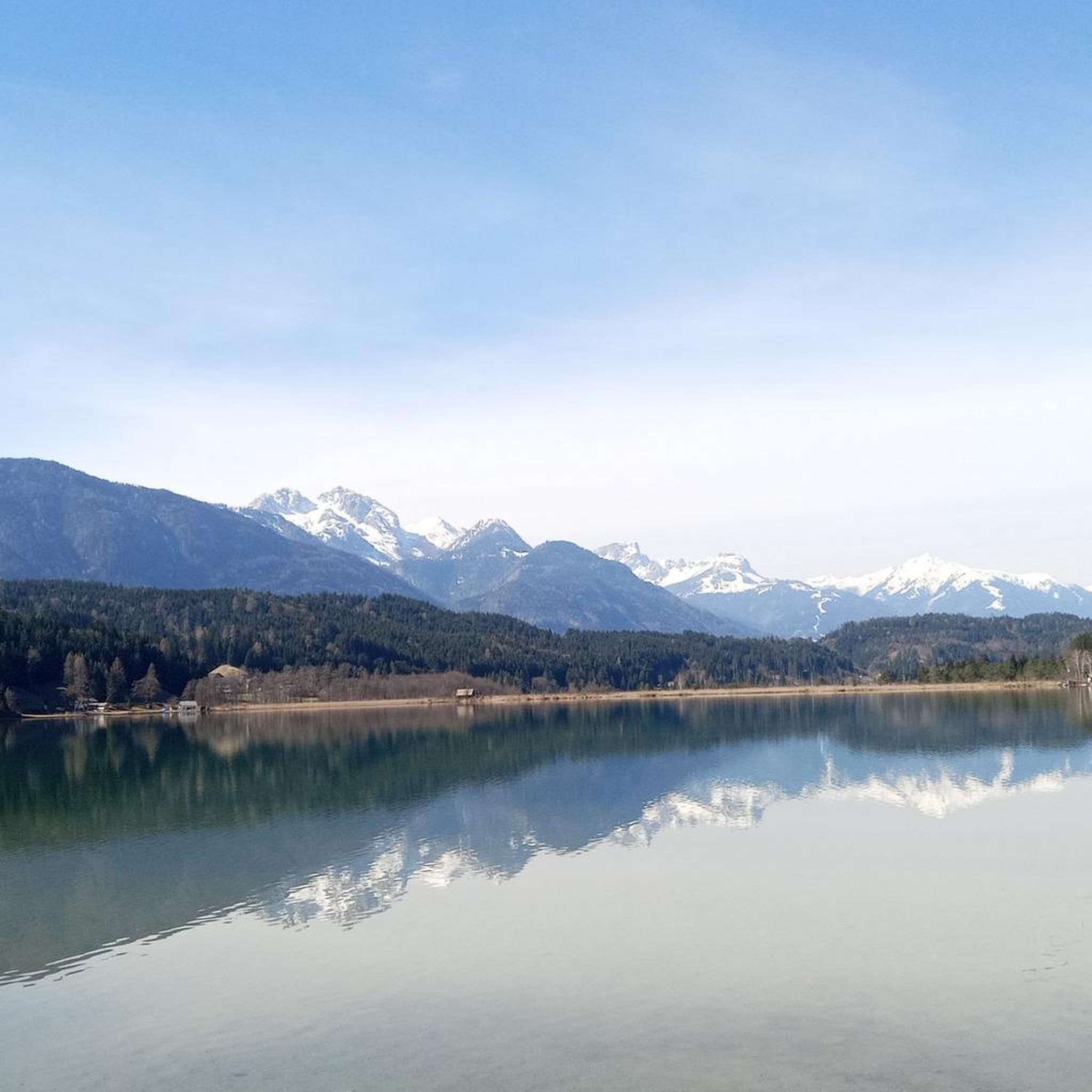
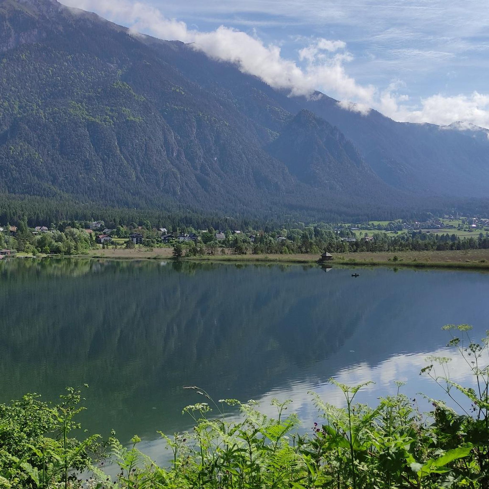
Tips from the Community

From the St. Steben mountain church, you enjoy a sensational view over the Gail valley. Two steep mountain paths lead through magnificent mountain forest and make the tour a perfect circular hike starting from the Siebenbrünner pasture.
0
0

The cycle path is not just any old one… here you can find information about how the forest glassworks used to work and directly opposite is this small and pretty church
1
0

Very scenic section with great views
0
0

Interesting information about the hard life of the people in this valley who made beautiful glass vessels.
0
0

The exhibits and display boards provide an interesting insight into glass production in this remote part of the Gailtal Alps. It is worth seeing even for locals, as very few people know about the glass-making past of the alpine pasture.
0
0

The beautiful Catholic chapel is the last remaining building of the Carinthian glassworks.
0
0

Shortly before the summit you will be rewarded with an amazing view. Definitely enjoy!
0
0
A beautiful view in clear or slightly cloudy weather.
0
0
Frequently Asked Questions
What kind of terrain can I expect on mountaineering routes around Lake Pressegg?
The mountaineering routes around Lake Pressegg are set within the dramatic Carnic and Gailtal Alps, offering a unique blend of alpine terrain and the warm waters of Lake Pressegg. You'll find diverse landscapes, from leisurely paths around the lake, such as the Slow Trail through Austria's second-biggest reed belt, to challenging mountain ascents. The region also features geological formations of the Carnic Alps GeoPark, providing varied terrain for exploration, including opportunities to discover fossils.
Are there routes suitable for beginners or those looking for easier mountaineering experiences?
Yes, while many routes offer significant challenges, the region caters to various skill levels. You can find options for moderate ascents. For example, the Poludnig Summit (1,999 m) loop from Parkplatz Poludnig Alm is a moderate route, offering a rewarding summit experience without extreme difficulty.
What are some of the more challenging mountaineering routes in the Lake Pressegg area?
For experienced mountaineers seeking a challenge, the region offers several difficult routes. The Rest Area – St. Stefan Church loop from Förolach is a difficult 7.7-mile (12.4 km) path with significant elevation gain. Another demanding option is the Spitzegel Summit loop from Weißenbach, covering 18.4 km with substantial ascent and descent.
Can I find circular mountaineering routes around Lake Pressegg?
Yes, many of the mountaineering routes in the region are designed as loops, allowing you to start and end at the same point. A popular option is the Bench loop from Lake Pressegg, which offers beautiful views of the lake and surrounding hills. Another circular route is the Mountaineering loop from Evangelische Kirche Hermagor.
What is the best time of year for mountaineering around Lake Pressegg?
The best time for mountaineering around Lake Pressegg is generally from late spring to early autumn (May to October), when the weather is most stable and trails are clear of snow. The region's unique blend of alpine and Mediterranean influences means pleasant temperatures. However, some higher altitude routes might still have snow earlier in the season, so always check local conditions.
Are there any family-friendly mountaineering options near Lake Pressegg?
While many mountaineering routes involve significant elevation, the broader Nassfeld-Pressegger See region offers a wide network of trails, including easier walks suitable for families. For specific mountaineering routes, consider options with lower elevation gain and shorter distances, or explore the extensive hiking network which includes themed trails and leisurely walks around Lake Pressegg itself.
What are some notable landmarks or viewpoints I can expect to see on these routes?
The region is rich in natural beauty and offers breathtaking scenic views from numerous summits in the Carnic and Gailtal Alps. You'll encounter the warm waters of Lake Pressegg, Austria's second-largest reed belt, and geological formations within the Carnic Alps GeoPark. Many routes lead to stunning viewpoints, allowing you to appreciate the dramatic mountain backdrops and the charming contrasts of the landscape.
What do other mountaineers say about the routes in Lake Pressegg?
The mountaineering routes in Lake Pressegg are highly rated by the komoot community, with an impressive average score of 4.9 stars from more than 30 reviews. Mountaineers often praise the varied terrain, the stunning views of the Carnic and Gailtal Alps, and the unique blend of alpine and lake scenery.
Are there opportunities for multi-day mountaineering adventures in the region?
Yes, for those seeking multi-day adventures, the broader region offers multi-stage hikes such as the Carnic Peace Trail and the Gailtal Valley High Route. These longer routes allow for deeper exploration of the Carnic and Gailtal Alps, often including stays in the numerous alpine pastures and mountain huts found in the area.
Are there any via ferratas or climbing opportunities near Lake Pressegg?
The Nassfeld region, close to Lake Pressegg, is a significant climbing hotspot. It offers a variety of via ferratas (Klettersteige) with difficulties ranging from A to D/E, including the 'Däumling' via ferrata known for its stunning views. There are also practice climbing rocks for beginners and guided climbing options available, with prominent peaks like Trogkofel and Rosskofel providing numerous routes.
What are the elevation ranges for mountaineering in the Lake Pressegg area?
Mountaineering activities in the broader Nassfeld-Pressegger See region span a significant elevation range, from approximately 600 meters to 2,800 meters above sea level. This diversity allows for everything from lower-altitude paths around the lake to challenging high mountain ascents in the Carnic and Gailtal Alps.
Most popular routes around Lake Pressegg

Get inspired with the komoot mobile app


Explore more
Browse the best Mountain Hikes & Routes in other regions.
