The best walks and hikes around Höllerersee
4.4
(673)
4,034
hikers
311
hikes
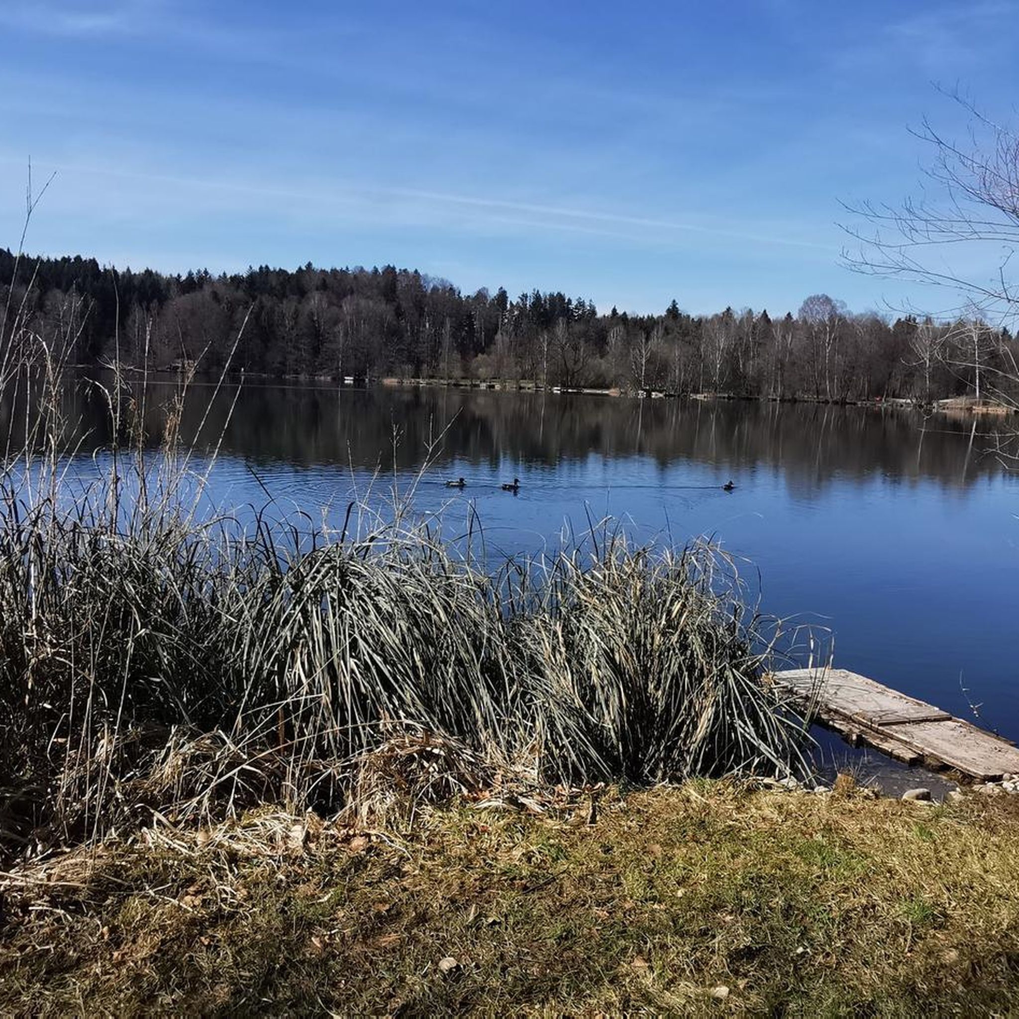
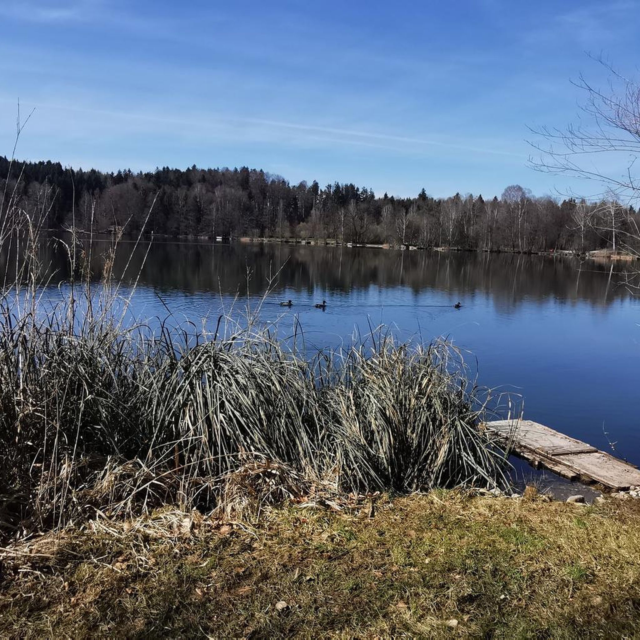
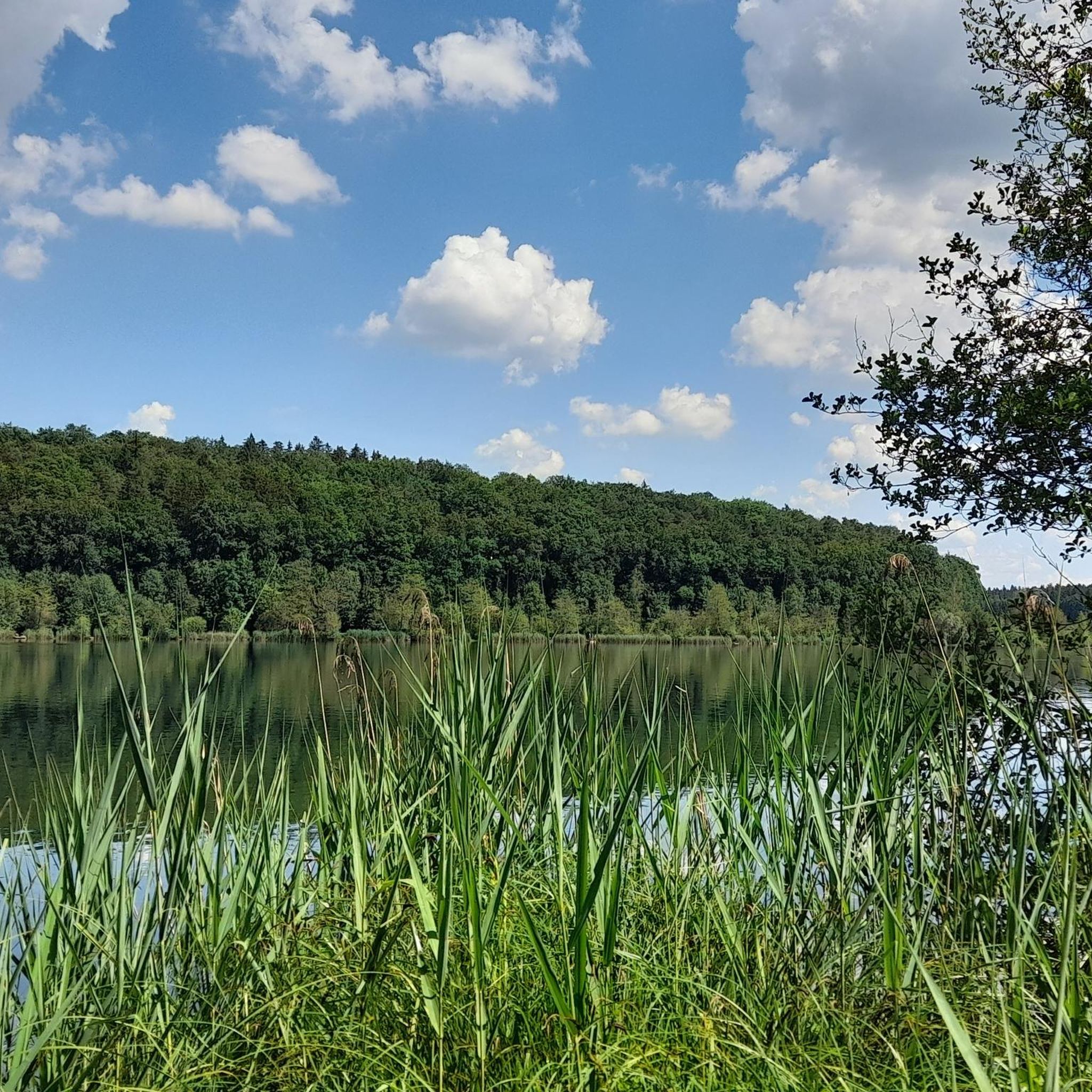
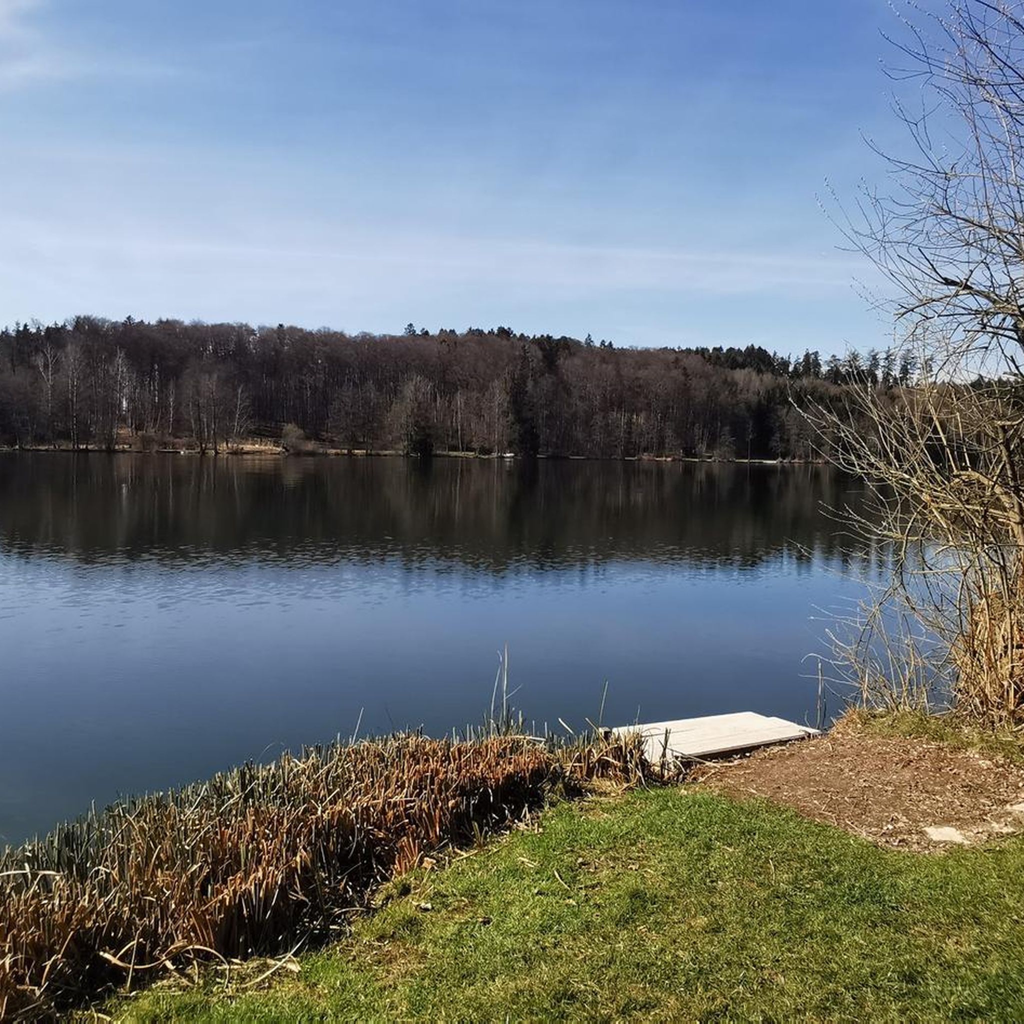
Hiking around Höllerersee offers trails through a tranquil natural setting in the district of Braunau, Upper Austria. The region is characterized by the kidney-shaped Höllerersee, surrounded by diverse woodlands and moraine hills formed after the last ice age. These features provide varied terrain for outdoor activities, with paths often protected from wind by the surrounding forests.
Best hiking trails around Höllerersee
- The most popular hiking route is Höllerer See – Höllerersee loop from Höllerersee, an easy 3.8 miles (6.2…
Last updated: July 1, 2026
5.0
(2)
14
hikers
6.19km
01:41
90m
90m
Easy hike. Great for any fitness level. Easily-accessible paths. Suitable for all skill levels.
4.5
(2)
12
hikers
6.71km
01:48
80m
80m
Easy hike. Great for any fitness level. Easily-accessible paths. Suitable for all skill levels.

Sign up for free
5.0
(1)
15
hikers
7.34km
01:57
70m
70m
Easy hike. Great for any fitness level. Easily-accessible paths. Suitable for all skill levels.
5.0
(4)
11
hikers
5.70km
01:31
60m
60m
Easy hike. Great for any fitness level. Easily-accessible paths. Suitable for all skill levels.
5
hikers
9.50km
02:30
80m
80m
Moderate hike. Good fitness required. Easily-accessible paths. Suitable for all skill levels.
Get access to more routes and recommendations from other explorers.
Sign up for free
Already have an account?
Our route recommendations are based on thousands of hikes, rides, and runs completed by other people on komoot.
Start today with a free account
Your next adventure awaits.
Login or Signup
Tips from the Community


Quietly located small lake with nice refreshment stops.
2
0

Clean lake, free swimming and well-kept meadow: see also: https://www.meinbezirk.at/tag/hoellerersee
3
0

Beautiful lake and nature reserve in the state of Upper Austria, municipality 5120 Sankt Pantaleon, a detour there is always worthwhile if necessary from the Inn Salzach Cycle Path. For paddle enthusiasts, a tip to the Canoe Club Wildshut www.kcw.at! At sea training on Thursday or by appointment, everyone who can swim can go kayaking and try it!
3
0
Frequently Asked Questions
How many hiking trails are available around Höllerersee?
The Höllerersee region offers a comprehensive network of over 300 hiking trails. These routes cater to various fitness levels, with a significant number of easy and moderate options available for exploration.
Are there easy hiking options suitable for beginners or families around Höllerersee?
Yes, the area around Höllerersee is well-suited for beginners and families, with over 230 easy trails. Many routes feature easily walkable paths that don't require special skills. An excellent option is the Höllerersee loop from St. Pantaleon, which is an easy 5.7 km route.
Can I find circular hiking routes around Höllerersee?
Absolutely. Circular routes are a popular feature of the Höllerersee area. A well-known option is the Höllerer See – Höllerersee loop from Höllerersee, which is an easy 6.2 km trail offering continuous views of the lake.
What natural features or landmarks can I expect to see while hiking around Höllerersee?
Hikers can enjoy the tranquil, kidney-shaped Höllerersee itself, known for its clean, clear water. The trails are flanked by diverse forests, including silver willows, black alders, and birch. The landscape is also shaped by moraine hills, remnants of the last ice age, offering gentle elevation changes and scenic views.
Is Höllerersee a good destination for hiking with dogs?
While the guide does not explicitly state dog-friendly policies, the natural setting with extensive forests and trails around the lake generally provides good opportunities for walks with dogs. It's always advisable to keep dogs on a leash and respect local regulations, especially near bathing areas or protected zones.
Are there any places to eat or refresh myself near the trails?
Yes, the region around Höllerersee offers "nice refreshment stops" (netter Einkehrmöglichkeit) where you can take a break and enjoy local hospitality. These establishments are typically found in the vicinity of the lake and nearby villages.
What is the best time of year to go hiking around Höllerersee?
Höllerersee is appealing throughout the warmer months. Its wooded location protects it from wind, allowing the lake to warm up quickly in spring, making it pleasant for early-season visits. The diverse tree species also suggest beautiful autumn colors. In winter, when conditions allow, the frozen lake can be used for ice skating, offering a different kind of outdoor experience.
How can I get to Höllerersee using public transport, and is there parking available?
The region is accessible, and while specific public transport routes are not detailed in the guide, St. Pantaleon is a key starting point for many trails. Parking facilities are generally available near popular access points to the lake and trails, such as those mentioned for starting routes like the Sane Stube – Höllerer See loop from Haigermoos.
What makes Höllerersee unique compared to other lakes in the region?
Höllerersee is unique due to its geological origin as a remnant of the large Salzburg Lake from the last ice age. It's fed solely by groundwater and has no surface outflows, contributing to its exceptionally clean and clear water. A limnological phenomenon means water below ten meters doesn't mix with upper layers, and its wooded, wind-protected location allows it to warm up quickly in spring.
What do other hikers say about their experience in Höllerersee?
The hiking experiences in Höllerersee are highly regarded by the komoot community, with an average rating of 4.4 stars from over 650 reviews. Hikers often praise the tranquil natural setting, the clear waters of the lake, and the well-maintained paths through the surrounding forests.
Can I swim in Höllerersee after a hike?
Yes, Höllerersee is a popular bathing lake known for its clean, clear, and warm water. It's an excellent spot for swimming, paddling, or canoeing, making it a perfect way to cool down and relax after a hike.
Are there any longer or more challenging routes for experienced hikers?
While many routes are easy, the Höllerersee area also offers moderate trails for those seeking a bit more challenge. For example, the Forest Path loop from St. Pantaleon is a moderate 9.5 km route, providing a longer and more engaging experience through the woodlands.
Are there any permits required for hiking or other activities at Höllerersee?
The guide data and region research do not indicate any specific permits required for general hiking around Höllerersee. However, if you plan to engage in activities like fishing, specific permits or licenses would likely be necessary. Always check local regulations for any specialized activities.
Most popular routes around Höllerersee

Get inspired with the komoot mobile app


Explore more
Browse the best Hikes in other regions.
