The best mountain hikes around Kleiner Plansee
4.7
(824)
5,022
hikers
108
hikes
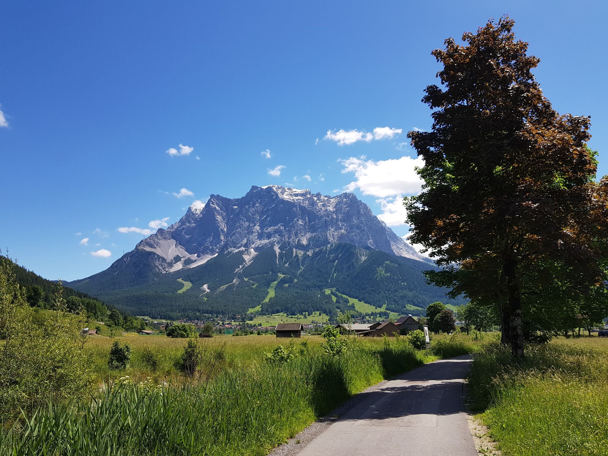
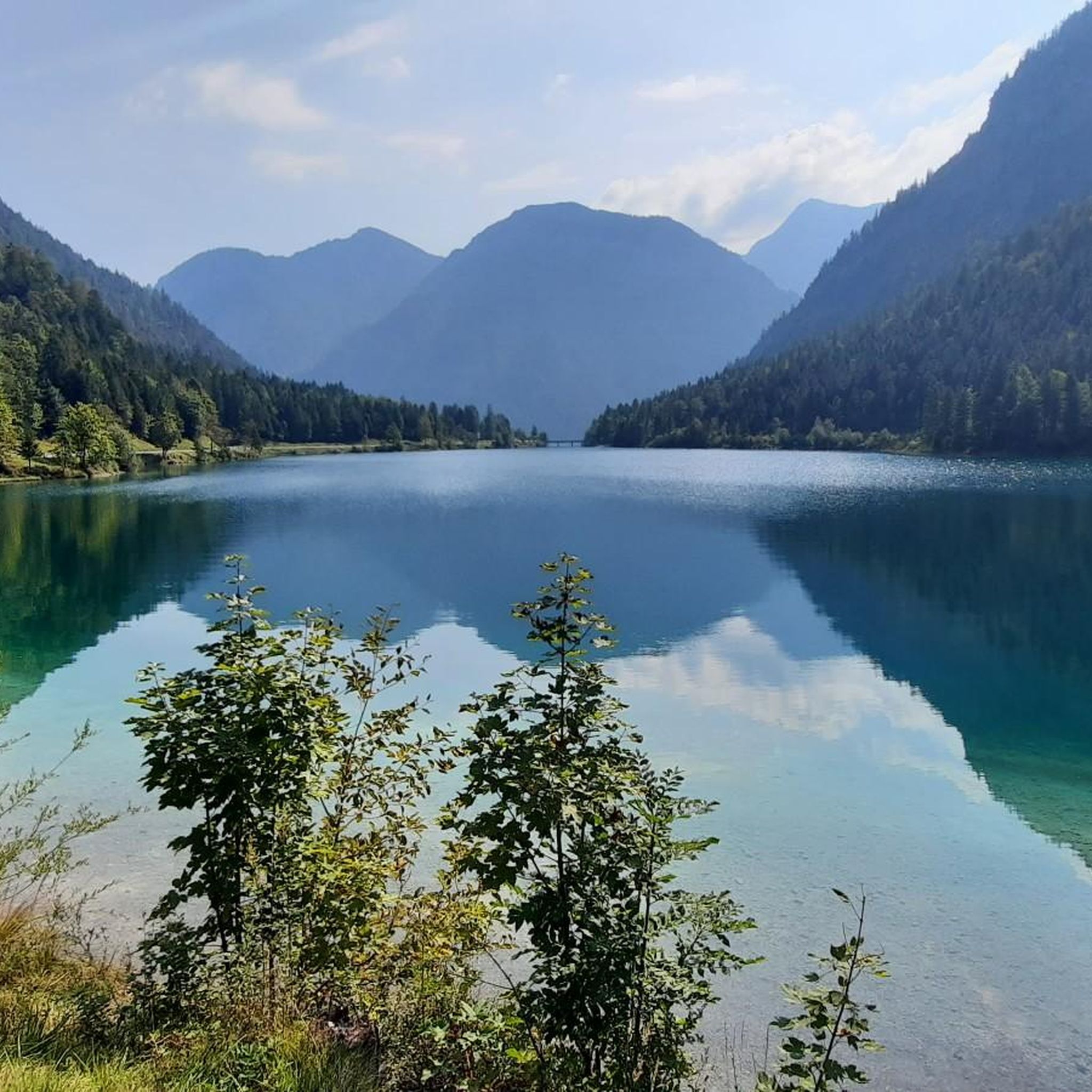
Mountaineering routes around Kleiner Plansee are characterized by the surrounding peaks and the lake itself, offering diverse terrain for exploration. The region features a mix of forested slopes, rocky ascents, and elevated viewpoints overlooking the Plansee. Elevations vary, providing options from moderate climbs to more challenging summit attempts.
Best mountaineering routes around Kleiner Plansee
- The most popular mountaineering route is View of Plansee – Zunterkopf (1,811 m) loop from Kleiner Plansee, a 6.6 miles (10.6 km) trail that takes…
Last updated: October 11, 2026
4.9
(93)
322
hikers
Hard mountaineering route. Very good fitness required. Sure-footedness, sturdy shoes and alpine experience required.
4.1
(7)
26
hikers
18.4km
07:25
930m
930m
Hard mountaineering route. Very good fitness required. Sure-footedness, sturdy shoes and alpine experience required.

4.5
(4)
25
hikers
8.54km
04:59
780m
780m
Hard mountaineering route. Good fitness required. Sure-footedness, sturdy shoes and alpine experience required.
5.0
(5)
37
hikers
3.79km
01:47
270m
270m
Hard mountaineering route. Great for any fitness level. Sure-footedness, sturdy shoes and alpine experience required.
4.5
(4)
18
hikers
Moderate mountaineering route. Good fitness required. Easily-accessible paths. Suitable for all skill levels.
Get access to more routes and recommendations from other explorers.
Already have an account?
Our route recommendations are based on thousands of hikes, rides, and runs completed by other people on komoot.
Start today with a free account
Your next adventure awaits.
Other adventures around Kleiner Plansee

Tips from the Community

A small taste of what's to come. You should also not neglect the Stuibenfälle on this occasion. So many charming possibilities in this region.
0
0

Not entirely easy to reach, but absolutely worth it. Great views!
6
0
The summit of the Tauern, at 1,841 m, is the highest point of the Tauern massif. The views are, of course, fantastic. A wonderful place to pause.
5
0
From the hunting lodge, there is also a great view.
7
0
The Grätle is a bit exposed, but the view is simply stunning (not to be taken literally here!).
6
0
Very strenuous, but dreamlike beautiful views. The effort is definitely worth it.
6
0
A very elegant bridge spans the narrow point between Plansee and Kleiner Plansee here.
3
0

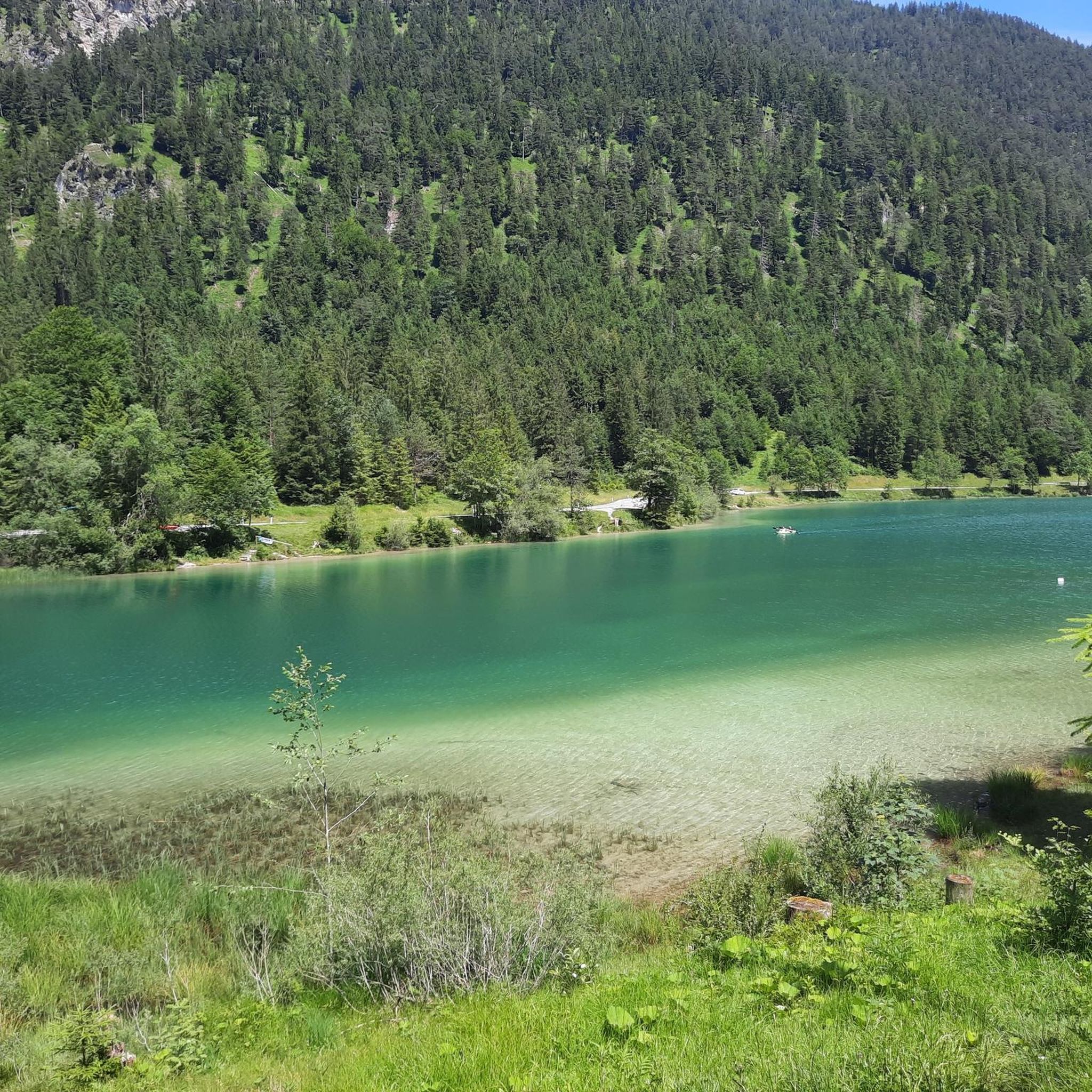
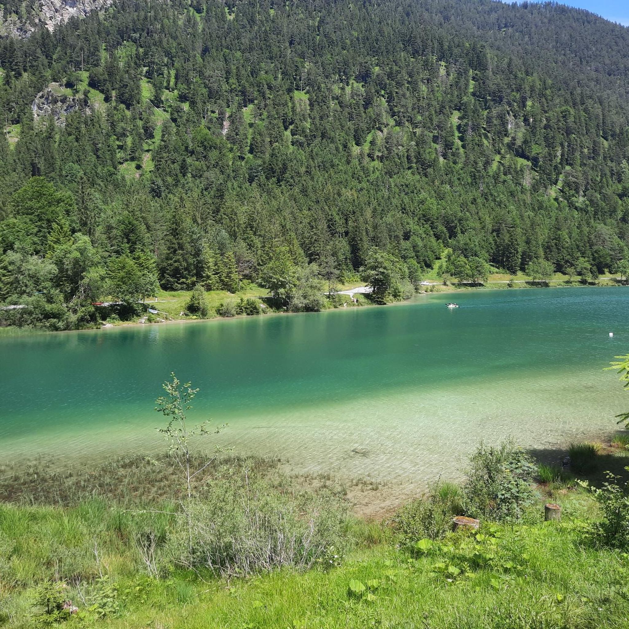
The turquoise blue practically knocks you over, a beautiful single trail for biking, but you have to be considerate of pedestrians, as there is sometimes not much space.
0
0
Frequently Asked Questions
How many mountaineering routes are available around Kleiner Plansee?
There are over 110 mountaineering routes around Kleiner Plansee, offering a wide range of options for different skill levels. This includes 7 easy, 33 moderate, and 72 difficult routes.
Are there any easy mountaineering routes suitable for beginners around Kleiner Plansee?
Yes, Kleiner Plansee offers several easier mountaineering routes. For a moderate option that provides lake views without extreme elevation, consider the Pebble Beach on Plansee loop from Kleiner Plansee, which is about 3.3 km long.
What are some challenging mountaineering routes in the Kleiner Plansee area?
For experienced mountaineers seeking a challenge, the region has many difficult routes. The Frauenbrünnle and Chapel – Swing with a View of Plansee loop from Kleiner Plansee is a demanding 18.5 km path with extensive views, typically taking over 7 hours to complete. Another challenging option is the View of Plansee – Schrofennas Peak loop from Kleiner Plansee, which is 8.9 km long and features mountain forests and open ridges.
Are there any circular mountaineering routes around Kleiner Plansee?
Many mountaineering routes in the area are circular, allowing you to start and end at the same point. For example, the popular View of Plansee – Zunterkopf (1,811 m) loop from Kleiner Plansee is a 10.6 km circular trail offering panoramic views. Another option is the Plansee Seespitz – Plansee Boathouses loop from Kleiner Plansee, a moderate 10 km circular route.
What is the best time of year for mountaineering around Kleiner Plansee?
The best time for mountaineering around Kleiner Plansee is typically from late spring to early autumn (May to October). During these months, trails are generally snow-free at lower elevations, and weather conditions are more stable. Higher routes may still have snow patches in early spring. Always check local weather and trail conditions before heading out.
What kind of views can I expect on mountaineering routes near Kleiner Plansee?
Mountaineering routes around Kleiner Plansee offer diverse and stunning views. You can expect panoramic vistas of the Plansee and surrounding peaks like the Zunterkopf, as well as views over forested slopes and open ridges. Many routes provide elevated perspectives of the lake and the picturesque Alpine landscape.
Are there any interesting landmarks or attractions along the mountaineering routes?
Yes, the area around Kleiner Plansee is rich with natural beauty and interesting points. You might encounter highlights such as the Seespitz Bridge Between Plansee and Heiterwanger See, offering unique views of the two lakes, or the tranquil Plansee itself. The Kleiner Plansee is also a beautiful spot to explore.
What do other mountaineers enjoy most about the routes in Kleiner Plansee?
The mountaineering routes in Kleiner Plansee are highly rated by the komoot community, with an average score of 4.7 stars from over 750 reviews. Reviewers often praise the diverse terrain, the stunning lake views, and the well-maintained paths that lead to impressive peaks and scenic viewpoints.
Is Kleiner Plansee suitable for family-friendly mountaineering?
While many routes are challenging, there are options for families. Look for the 'easy' or 'moderate' graded routes, which typically have less elevation gain and shorter distances. These routes often stick to lower elevations or offer gentle ascents, providing a pleasant experience for families with children.
Are dogs allowed on the mountaineering trails around Kleiner Plansee?
Generally, dogs are welcome on most hiking and mountaineering trails in the Kleiner Plansee region, provided they are kept on a leash, especially in nature protection areas or near livestock. Always ensure your dog is well-behaved and that you clean up after them. Some specific routes might have restrictions, so it's always good to check local signage.
Are there any less crowded mountaineering options in Kleiner Plansee?
To avoid crowds, especially during peak season, consider starting your hike early in the morning or exploring routes that are not explicitly mentioned as 'most popular'. While specific less crowded routes vary, generally, longer or more challenging trails tend to have fewer people. Exploring during weekdays or outside of main holiday periods can also help.
Where can I find parking for mountaineering routes around Kleiner Plansee?
Parking is available at various trailheads around Kleiner Plansee. Specific parking areas are often marked near popular starting points for routes. It's advisable to arrive early, especially on weekends or during peak season, as spaces can fill up quickly. Some parking areas may require a small fee.
Most popular routes around Kleiner Plansee
Most popular attractions around Kleiner Plansee

Get inspired with the komoot mobile app


Explore more
Browse the best Mountain Hikes & Routes in other regions.
