The best road cycling routes around Seguin Township
5.0
(2)
324
riders
15
rides
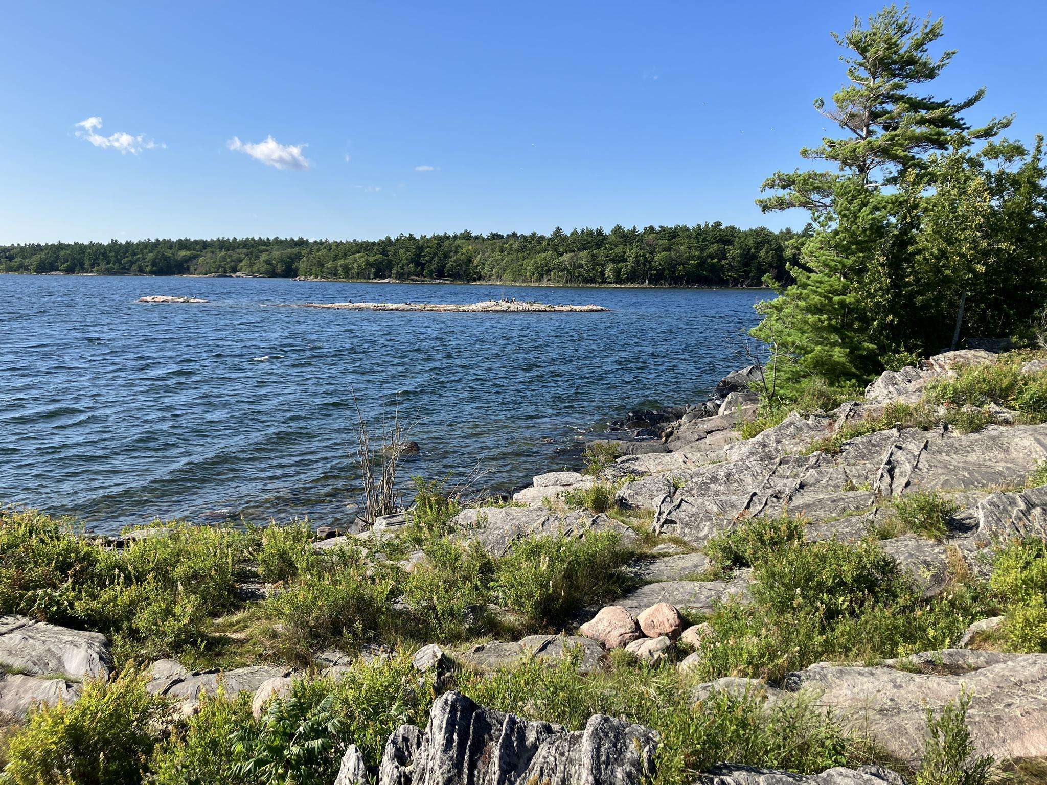
Road cycling routes around Seguin Township traverse diverse landscapes characterized by lush boreal forests, numerous lakes, and meandering rivers. The region features the distinctive rocky terrain of the Canadian Shield and offers quieter roads that wind through rolling hills. This area, part of the UNESCO-designated Georgian Bay Biosphere Reserve, provides a scenic backdrop for road cyclists. The township's commitment to active transportation enhances connectivity across its natural environment.
Best road cycling routes around Seguin Township
- The most popular road cycling…
Last updated: July 12, 2026
81
riders
95.4km
04:15
1,010m
1,010m
Hard road ride. Very good fitness required. Mostly well-paved surfaces and easy to ride.
27
riders
80.8km
03:33
640m
640m
Moderate road ride. Good fitness required. Mostly well-paved surfaces and easy to ride.

Sign up for free
14
riders
45.4km
02:14
490m
490m
Moderate road ride. Good fitness required. Mostly well-paved surfaces and easy to ride.
14
riders
90.7km
04:08
770m
770m
Moderate road ride. Good fitness required. Mostly well-paved surfaces and easy to ride.
17
riders
37.8km
01:37
210m
210m
Moderate road ride. Great for any fitness level. Some segments of this route may be unpaved and difficult to ride.
Get access to more routes and recommendations from other explorers.
Sign up for free
Already have an account?
Our route recommendations are based on thousands of hikes, rides, and runs completed by other people on komoot.
Start today with a free account
Your next adventure awaits.
Login or Signup
Frequently Asked Questions
What kind of terrain can I expect on road cycling routes in Seguin Township?
Road cycling routes in Seguin Township traverse diverse landscapes, characterized by lush boreal forests, numerous lakes, and meandering rivers. You'll encounter the distinctive rocky terrain of the Canadian Shield, along with quieter roads that wind through rolling hills. The region is part of the UNESCO-designated Georgian Bay Biosphere Reserve, offering a scenic backdrop for your rides.
Are there road cycling routes suitable for beginners in Seguin Township?
While the guide primarily features moderate to difficult routes, the broader Parry Sound District, which includes Seguin, offers a range of paved routes from 3km to 77km suitable for adult riders. The township is also developing its cycling infrastructure, aiming to connect various trail networks. For a moderate challenge, consider the Baby Lake loop from Humphrey, which is 80.8 km long.
What are some notable natural features or landmarks I might see while cycling in Seguin Township?
As you cycle through Seguin Township, you'll experience the natural beauty of the Canadian Shield, with its unique rocky formations, and pass by numerous picturesque lakes and rivers. The region is rich in boreal forests. While not exclusively road cycling, the Humphrey Nature Trails, accessible from the Village of Humphrey, offer 8 kilometers of exploration featuring creeks, wetlands, and waterfalls, and are suitable for biking.
How many road cycling routes are available in Seguin Township?
There are 17 road cycling routes documented in Seguin Township, offering a variety of distances and challenges for cyclists to explore the region's diverse landscapes.
What is the best time of year for road cycling in Seguin Township?
The best time for road cycling in Seguin Township is generally during the warmer months, from late spring through early autumn. During this period, the weather is most favorable, and the natural scenery, including the boreal forests and lakes, is at its most vibrant. Always check local weather conditions before heading out.
Are there any family-friendly cycling options in Seguin Township?
Seguin Township is actively enhancing its cycling infrastructure, including multi-use trails that can be suitable for families. The Seguin Trail and Rose Point Recreation Trail, both part of the larger Park-to-Park Trail system, follow former railway beds and offer relatively flat, scenic routes that can be enjoyed by cyclists of varying skill levels, including families. These trails are multi-use, so be mindful of other users.
What do other road cyclists think about the routes in Seguin Township?
The road cycling routes in Seguin Township are highly rated by the komoot community, with an average score of 5.0 stars from 2 reviews. Cyclists often praise the scenic beauty of the boreal forests, the quiet roads, and the unique Canadian Shield landscape that defines the region.
Are there any long-distance road cycling routes in Seguin Township?
Yes, Seguin Township offers several longer road cycling routes. For example, the Port Carling Large Locks loop from Humphrey is a challenging 95.4 km route with significant elevation gain. Another substantial option is the Port Carling Large Locks – Baby Lake loop from Humphrey, covering 90.7 km.
Where can I find parking or access points for road cycling routes in Seguin Township?
Specific parking details vary by route. However, many routes, such as the Hellangone Lake – La Force Lake loop, start from locations like the Parry Sound Area Municipal Airport, which typically offers parking. For multi-use trails like the Seguin Trail, access points are available along its 75 km stretch from Highway 11 to Highway 400/69. It's always recommended to check the specific route details on komoot for precise starting points and parking information.
Are there any permits required for road cycling on trails in Seguin Township?
For road cycling on public roads in Seguin Township, permits are generally not required. However, if you plan to use multi-use trails like the Seguin Trail or Park-to-Park Trail, it's advisable to check with the respective trail authorities for any specific usage fees or regulations that might apply, especially for motorized vehicles, though cycling typically has fewer restrictions.
What kind of elevation changes can I expect on road cycling routes in Seguin Township?
Road cycling routes in Seguin Township often feature rolling hills and can include significant elevation changes, characteristic of the Canadian Shield landscape. For instance, the Port Carling Large Locks loop from Humphrey involves over 1000 meters of elevation gain, making it a challenging ride.
Are there any loop routes for road cycling in Seguin Township?
Yes, many road cycling routes in Seguin Township are designed as loops, allowing you to start and end at the same point. Examples include the popular Port Carling Large Locks loop from Humphrey and the Baby Lake loop from Humphrey, both offering circular journeys through the region's scenic landscapes.
Most popular attractions around Seguin Township

Get inspired with the komoot mobile app


Explore more
Browse the best Road cycling routes in other regions.
