The best MTB trails around Puslinch
4.3
(27)
112
riders
10
rides
Mountain biking around Puslinch offers a diverse landscape characterized by mixed forests, rolling hills, and proximity to the Grand River. The area features a network of trails, including sections with rooty downhill descents and scenic paths near water bodies. Riders can expect varied terrain suitable for different skill levels, from gentle forest paths to more challenging singletrack.
Best mountain bike trails around Puslinch
- The most popular mountain bike trail is Kelley Flow Corner and Hill – Rooty Downhill Trail loop…
Last updated: August 14, 2026
5.0
(1)
48
riders
Hard mountain bike ride. Good fitness required. Advanced riding skills necessary. Some portions of the route may require you to push your bike.
5.0
(1)
26
riders
20.8km
01:26
120m
120m
Hard mountain bike ride. Great for any fitness level. Advanced riding skills necessary. Some portions of the route may require you to push your bike.

Sign up for free
7
riders
7.12km
00:34
30m
30m
Easy mountain bike ride. Great for any fitness level. Suitable for all skill levels.
6
riders
13.0km
01:46
60m
60m
Hard mountain bike ride. Great for any fitness level. Advanced riding skills necessary. Some portions of the route may require you to push your bike.
3.7
(3)
3
riders
23.3km
01:34
130m
130m
Hard mountain bike ride. Great for any fitness level. Advanced riding skills necessary. Some portions of the route may require you to push your bike.
Get access to more routes and recommendations from other explorers.
Sign up for free
Already have an account?
Our route recommendations are based on thousands of hikes, rides, and runs completed by other people on komoot.
Start today with a free account
Your next adventure awaits.
Login or Signup

Tips from the Community

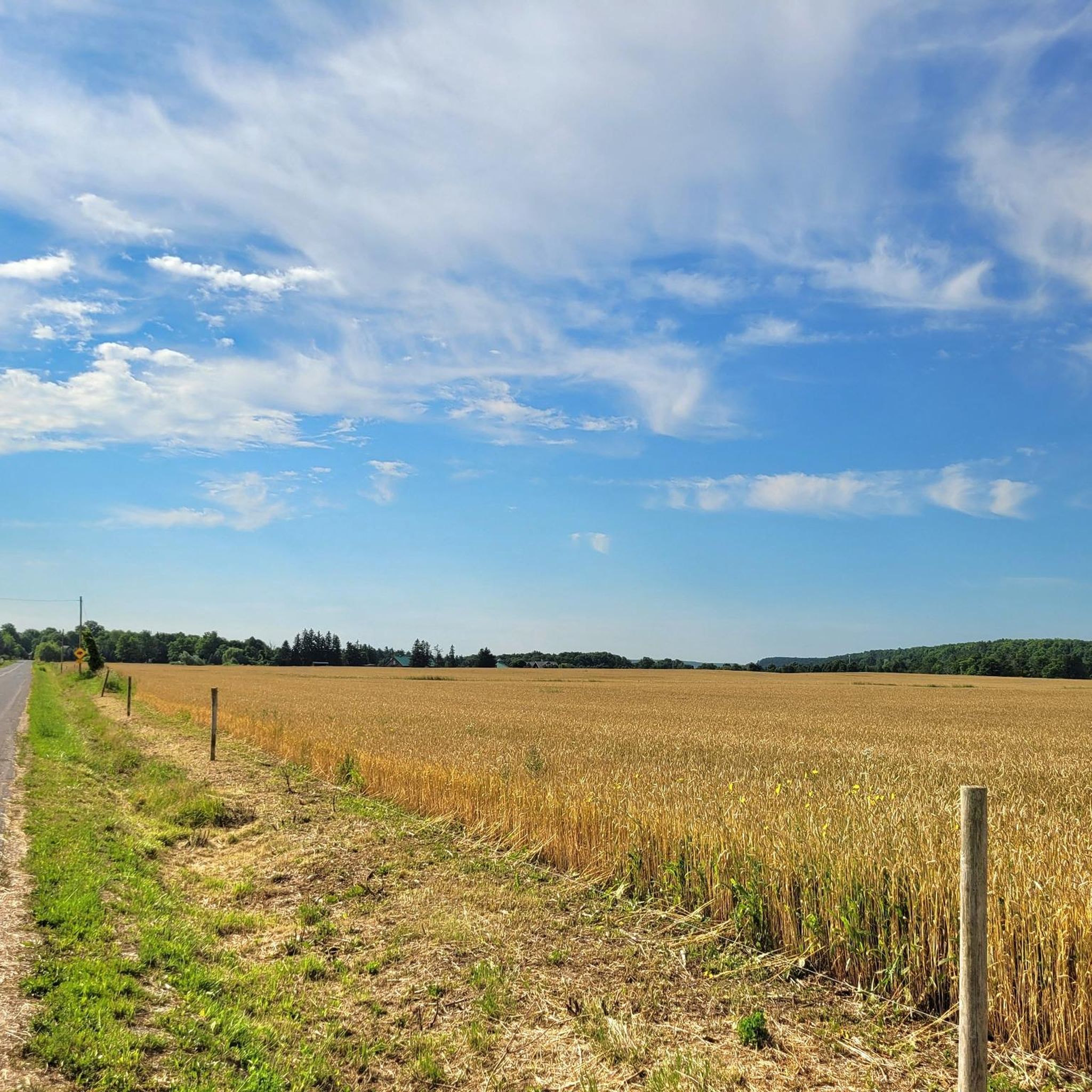
Flowing through southern Ontario’s Waterloo Region, the Speed River winds its way from its source in Orton through scenic countryside and urban green spaces before joining the Grand River at Cambridge. Along its route, the river passes parks, trails, and small tributaries, making it a favourite for walkers, paddlers, and nature lovers looking for accessible outdoor escapes.
0
0

Puslinch Tract for hikers can be a choose your own adventure thanks to the Main Doubletrack that extends along the entire park. Main Doubletrack is large enough for bikers to pass hikers with ease, while the single track full of twists and turns require bikers and hikers to be super alert coming around turns. If you would like more of a straight shot, stick to Main Doubletrack, if you want to weave through the forests on other routes, there are plenty to choose from in Puslinch Tract!
0
0
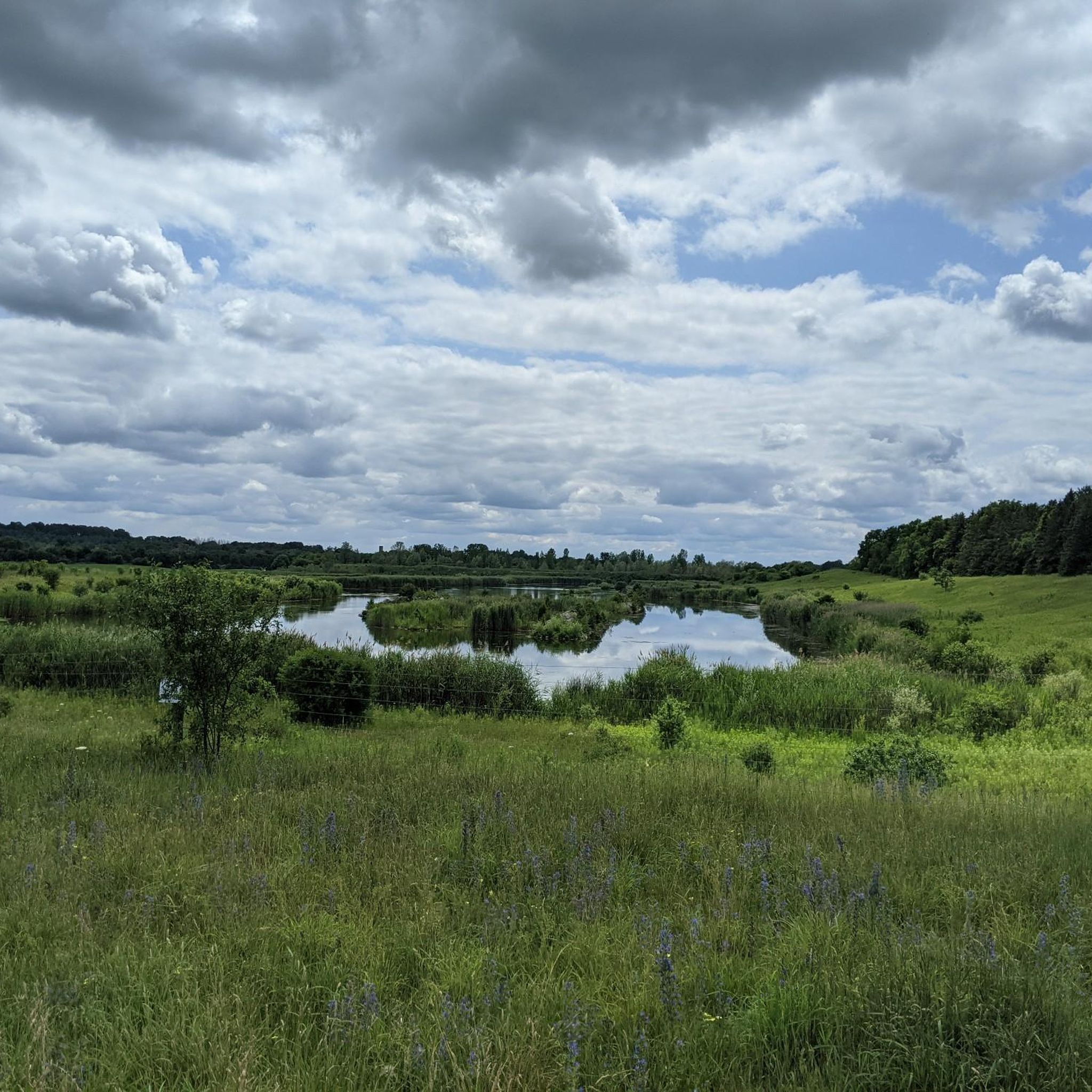
Backtract Lake is one of two large lakes in the Puslinch Tract Conservation Area, also known as Twin Ponds. The other lake is Foretract Lake to the west, right beside the official parking area. These calm lakes attract families, kids, dogs and adults int the summer, and with clean water and surrounded by sandy beaches and trees, it's a nice getaway spot just off Highway 401.
0
0
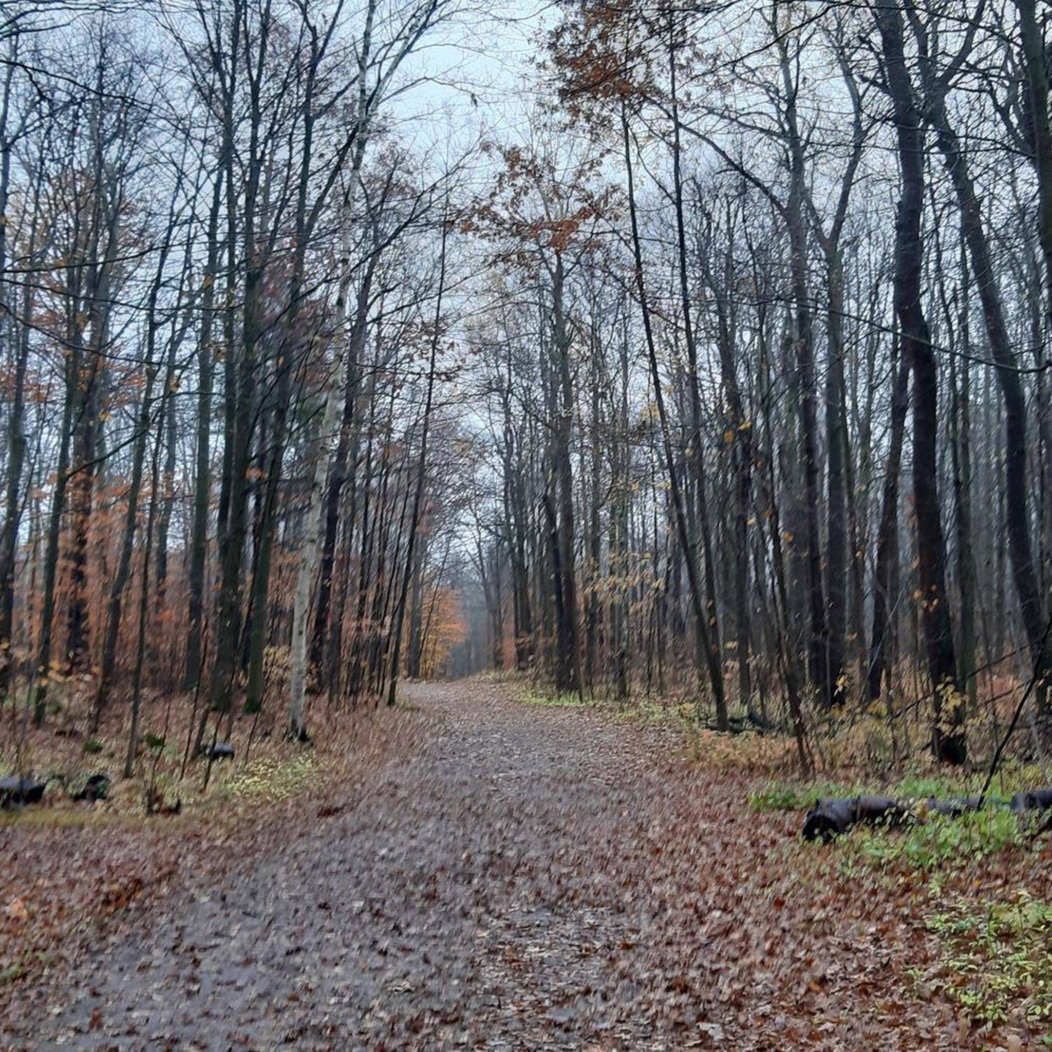
Fight Club is a trail that can only be ridden one way (east) and is rated as a blue track for mountain bikers. This trail winds through the woods, which create a lot of shade. If hiking this trail, keep headphones out of your ears to listen for approaching bikes.
0
0

Just past the dam here, the road ends and there are some very nice views of Guelph Lake. There is a trail that connects down to the beach directly to the north from here, and the path to the south connects to the Guelph Lake Trails.
0
0

Here the crushed gravel trail runs right along the river's edge, with views across to Riverside Park. The Speed River Trail and Royal Recreation Trail overlap here as you enter Guelph from the north, but the two paths diverge on their way out of the city.
0
0
The path is shady and paved with fine crushed gravel. You can often find bikers and walkers enjoying the woods alongside the river.
0
0
Guelph has a large Dutch population, and to commemorate the 150th anniversary of the town in 2024, the Dutch community funded this small picturesque windmill by the riverside.
0
0
Frequently Asked Questions
How many mountain bike trails are available in Puslinch?
There are over 10 mountain bike trails around Puslinch, offering a variety of experiences from easy forest paths to challenging singletrack. The komoot community has recorded 13 tours in the area.
Are there easy mountain bike trails suitable for beginners in Puslinch?
Yes, Puslinch offers several easy mountain bike trails. For a gentle introduction, consider the Rooty Downhill Trail – Kelley Flow Corner and Hill loop from Little Lake, which is about 7 km long and takes around 34 minutes to complete. Another easy option is the Kelley Flow Corner and Hill – Rooty Downhill Trail loop from Puslinch Lake Irish Creek Research Area, which is 16 km.
Where can I find challenging mountain biking routes in the Puslinch area?
For more advanced mountain biking, Puslinch has several difficult trails. The Gnome Rock loop from Milton is a challenging 18.7 km path with significant elevation changes. Another demanding option is the Forest Bike Trail loop from Guelph Central Station, a 20.6 km trail through dense forest.
What kind of terrain can I expect on mountain bike trails in Puslinch?
Mountain biking around Puslinch is characterized by diverse terrain, including mixed forests, rolling hills, and paths near river systems like the Grand River. You'll encounter sections with rooty downhill descents, scenic water views, and varied singletrack.
Are there any mountain bike trails in Puslinch that offer scenic views?
Many trails in Puslinch offer scenic views, particularly those near Puslinch Lake and the Grand River. The Kelley Flow Corner and Hill – Rooty Downhill Trail loop from Puslinch Lake Irish Creek Research Area provides engaging rooty downhill sections and scenic views near the lake.
What are some notable natural attractions or landmarks near the mountain bike trails?
While mountain biking, you can explore several natural attractions nearby. Consider visiting Crawford Lake or the impressive Hilton Falls. The Rattlesnake Point Conservation Area also offers stunning viewpoints.
Are there any loop trails for mountain biking in Puslinch?
Yes, many mountain bike trails in Puslinch are designed as loops. Examples include the Kelley Flow Corner and Hill – Rooty Downhill Trail loop from Puslinch Lake Irish Creek Research Area and the Gnome Rock loop from Milton, providing convenient circular routes.
What do other mountain bikers say about the trails in Puslinch?
The mountain bike routes in Puslinch are highly rated by the komoot community, with an average score of 4.1 stars from over 40 reviews. Riders often praise the varied terrain, from gentle forest paths to challenging singletrack, and the scenic beauty of the area.
What is the typical duration for mountain bike rides in Puslinch?
Ride durations vary significantly depending on the trail and your pace. Shorter, easier loops like the Rooty Downhill Trail – Kelley Flow Corner and Hill loop from Little Lake can take around 30-40 minutes, while longer, more difficult routes such as the Grand River – Germans Woolen Mill loop from Monsignor Doyle Catholic Secondary School can take over 3 hours.
Can I find mountain bike trails that follow river systems in Puslinch?
Yes, the Puslinch area is known for its proximity to the Grand River, and some mountain bike routes incorporate sections along its banks. The Grand River – Germans Woolen Mill loop from Monsignor Doyle Catholic Secondary School is a moderate 38.8 km trail that follows the Grand River.
Are there any specific highlights or points of interest along the trails?
Beyond the natural landscapes, you might encounter interesting features like the Wooden Bridge and Boardwalk, which can be part of a scenic ride. Many trails offer views of the diverse flora and fauna of the region.
What is the best time of year for mountain biking in Puslinch?
The best time for mountain biking in Puslinch is typically from spring through fall, when the weather is mild and trails are dry. Autumn offers particularly beautiful scenery with changing foliage. Winter riding can be possible but requires checking trail conditions for snow and ice.
Most popular attractions around Puslinch

Get inspired with the komoot mobile app


Explore more
Browse the best MTB trails in other regions.
