The best road cycling routes around McDougall Township
5.0
(1)
46
riders
5
rides
Road cycling routes around McDougall Township traverse a landscape shaped by the Canadian Shield, featuring bedrock-based geography, numerous freshwater lakes, and dense forests. The terrain includes rolling hills and winding roads, offering varied backdrops for cyclists. This region is characterized by its natural beauty, with mixed forests and abundant waterways like Mill Lake. The area provides a network of municipal roads suitable for exploring its diverse natural features.
Best road cycling routes around McDougall Township
- The most popular road cycling…
Last updated: July 12, 2026
10
riders
51.3km
02:29
330m
330m
Moderate road ride. Good fitness required. Mostly well-paved surfaces and easy to ride.
9
riders
39.1km
01:55
270m
270m
Moderate road ride. Great for any fitness level. Some segments of this route may be unpaved and difficult to ride.

Sign up for free
5.0
(1)
10
riders
Moderate road ride. Good fitness required. Some segments of this route may be unpaved and difficult to ride.
8
riders
40.3km
01:54
200m
200m
Moderate road ride. Great for any fitness level. Some segments of this route may be unpaved and difficult to ride.
4
riders
62.1km
02:55
320m
320m
Moderate road ride. Good fitness required. Some segments of this route may be unpaved and difficult to ride.
Our route recommendations are based on thousands of hikes, rides, and runs completed by other people on komoot.
Start today with a free account
Your next adventure awaits.
Login or Signup
Popular around McDougall Township
Tips from the Community

The Killbear Lighthouse is one of the park’s most recognizable landmarks. The short walk out to it follows exposed rock and wind-shaped pines, opening to wide water views in every direction. It’s a popular sunset spot, with the light silhouetted against the bay and waves moving across the shoreline below.
0
0
Set on the eastern shore of Georgian Bay, Killbear Provincial Park is known for its smooth pink granite, windswept pines, sandy beaches, and clear freshwater swimming. One of the standout features is the historic lighthouse, perched on the rocks with wide views over the bay. A daily vehicle permit is required to visit and costs $18 per car. You can reserve your vehicle spot and purchase your permit online in advance: https://reservations.ontarioparks.ca/create-booking/ The pass is valid only for Killbear, not other Ontario parks. Frequent visitors can opt for an annual permit for $99.
0
0

The first light was built in 1904. http://www.friendsofkillbear.com/its-history Lighthouse Point Trail 800 m loop (25 minutes) easy to moderate This short trail takes you to the tip of Killbear Point and offers superb views of Georgian Bay and interesting rockscapes.
0
0

Short trail with remarkable view at the end. Section along the water is pretty rough, rooted and rocky so if you are not in shape use the other leg to reach the point and light house.
0
0
Just one of many beautiful small marinas in the area. Local shop and restaurant for refreshment. Decent roads with no traffic. Look for the wild life along the way. Happy riding
0
0
Frequently Asked Questions
What types of road cycling routes are available in McDougall Township?
McDougall Township offers a diverse range of road cycling routes, primarily featuring moderate to difficult terrain. You'll find routes that traverse the Canadian Shield, characterized by rolling hills, winding roads, and scenic views of freshwater lakes and dense forests. There are currently over 9 routes available, catering to different fitness levels.
Are there any easy or beginner-friendly paved cycling options in McDougall Township?
Yes, for those seeking an easier ride or a family-friendly option, McDougall Township provides a freshly paved 5 km walking/cycling path alongside Nobel Road (formerly Highway 69). This path is accessible from the McDougall Township office or Nobel School, offering a safe and scenic option for casual rides away from vehicle traffic.
What are some notable natural features or landmarks I might see while cycling in McDougall Township?
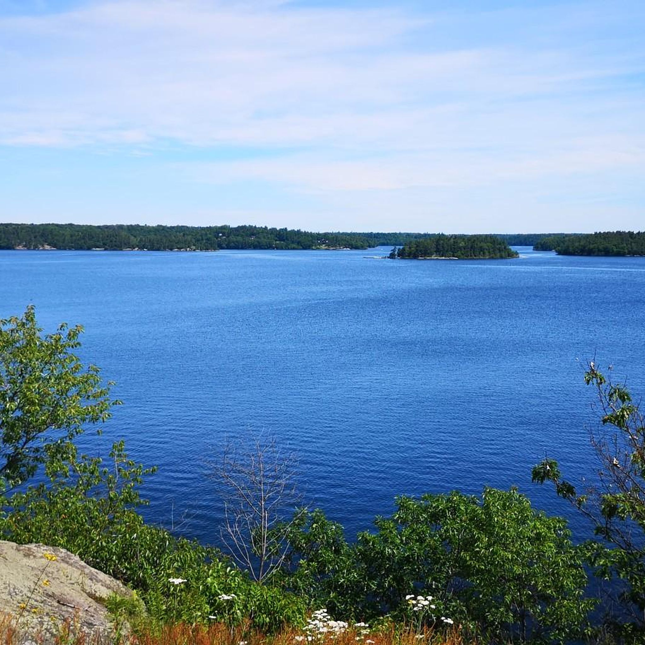
The routes in McDougall Township are rich with natural beauty. You'll encounter numerous freshwater lakes, such as Mill Lake, Bard Lake, and Nine Mile Lake, often surrounded by mature trees and natural rock formations. The Canadian Shield environment provides a varied backdrop of rocky outcroppings, mixed forests, and wetlands, offering stunning vistas throughout your ride.
Are there any loop routes for road cyclists in the area?
Yes, many of the road cycling routes in McDougall Township are designed as loops, allowing you to start and end in the same location. For example, the Parry Sound Bikes loop from Simmes Lake offers a moderate 64.2 km ride, and the Roadbike loop from Lorimer Lake is another moderate option covering 51.3 km.
What is the best time of year to go road cycling in McDougall Township?
The best time for road cycling in McDougall Township is typically from late spring through early autumn. During these months, the weather is generally pleasant, and the natural landscapes are at their most vibrant, with lush forests and sparkling lakes. Always check local weather forecasts before heading out.
How challenging are the road cycling routes in McDougall Township?
The routes vary in difficulty, with most falling into the moderate to difficult categories. For instance, the Parry Sound Bikes loop from Parry Sound is a difficult 113.5 km route with significant elevation changes, while the Killbear Point Lighthouse – Killbear Provincial Park loop from Parry Sound is a moderate 75.8 km path.
Can I find cafes, pubs, or accommodation near the cycling routes?
While McDougall Township itself is more rural, its proximity to Parry Sound offers additional amenities. You can find cafes, pubs, and various accommodation options in Parry Sound, which serves as a hub for the 'cottage country' experience and is often a starting point for regional cycling routes.
What are the elevation changes like on McDougall Township's road cycling routes?
Given its location on the Canadian Shield, McDougall Township's road cycling routes feature rolling hills and varied elevation changes. For example, the Parry Sound Bikes loop from Simmes Lake includes over 560 meters of elevation gain, providing a good workout for cyclists.
Are there any routes that offer views of provincial parks?
Yes, some regional routes extend into or offer views of nearby provincial parks. The Killbear Point Lighthouse – Killbear Provincial Park loop from Parry Sound is a moderate route that provides scenic views of Killbear Provincial Park and its surroundings.
What do other cyclists say about road cycling in McDougall Township?
The road cycling experience in McDougall Township is highly regarded by the komoot community, with an average score of 5.0 stars from reviews. Cyclists often praise the region's diverse natural features, including its freshwater lakes, dense forests, and the engaging terrain provided by the Canadian Shield.
Is there a shorter, moderate road cycling route available?
For a shorter, moderate option, consider the Roadbike loop from Manitouwabing River. This route is approximately 39.1 km long and features around 267 meters of elevation gain, making it a good choice for a less strenuous but still scenic ride.
Most popular routes around McDougall Township
Most popular attractions around McDougall Township

Get inspired with the komoot mobile app


Explore more
Browse the best Road cycling routes in other regions.
