The best walks and hikes around Рибничко језеро
4.5
(38)
319
hikers
31
hikes
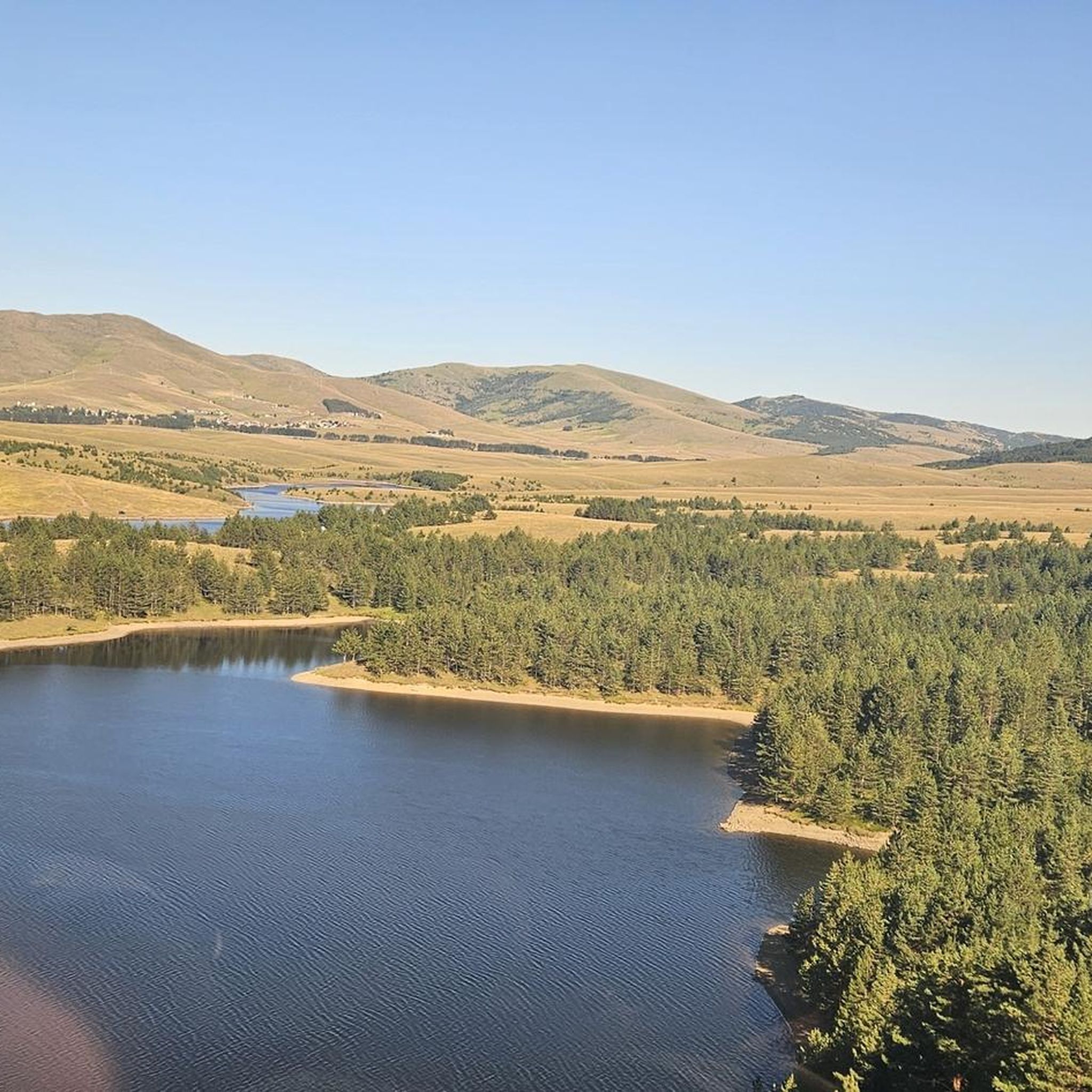
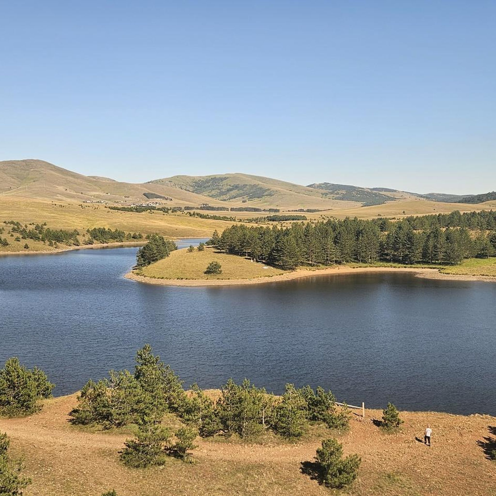
Hiking around Рибничко језеро offers exploration of an artificial lake created by damming the Crni Rzav river, nestled within the Zlatibor region of Serbia. The area is characterized by dense coniferous forests that provide shaded paths and scenic views. Situated on the route to Mount Tornik, the terrain often includes varied elevations, making it suitable for different hiking experiences. The clear waters of the lake, despite its dark bottom stones, contribute to the tranquil natural setting.
Best hiking trails around Рибничко језеро
- The most popular hiking route is Кобиља глава – Лађевина loop from Планинарски дом Торник, a 8.1 miles (13.1 km) trail that takes 3 hours 59 minutes to complete. This moderate route offers views of the surrounding mountainous landscape near Tornik.
- Another top favourite among local hikers is Бандера – Планинарски дом Торник loop from Zlatibor, a difficult 10.2 miles (16.4 km) path. This route features significant elevation changes and expansive views of the Zlatibor region.
- Local hikers also love the Крнево пландиште – Бандера loop from 3 Krnevo plandište, a 5.9 miles (9.5 km) trail leading through forested areas and open terrain, often completed in about 3 hours 1 minute.
- Hiking around Рибничко језеро is defined by an artificial lake, dense coniferous forests, and mountainous terrain near Tornik. The network offers options for different ability levels, from easy walks to more challenging ascents.
- The routes in Рибничко језеро are highly rated by the komoot community with an average score of 4.6 stars from over 30 reviews. More than 290 hikers have used komoot to explore Рибничко језеро's varied terrain.
Last updated: June 30, 2026
4
hikers
13.1km
03:59
450m
450m
Moderate hike. Good fitness required. Easily-accessible paths. Suitable for all skill levels.
2
hikers
16.4km
05:12
660m
660m
Hard hike. Very good fitness required. Easily-accessible paths. Suitable for all skill levels.

Sign up for free
4.0
(1)
10
hikers
9.45km
03:02
400m
400m
Moderate hike. Good fitness required. Easily-accessible paths. Suitable for all skill levels.
5.0
(12)
56
hikers
Moderate hike. Good fitness required. Easily-accessible paths. Suitable for all skill levels.
4.8
(4)
73
hikers
6.07km
01:43
130m
130m
Easy hike. Great for any fitness level. Easily-accessible paths. Suitable for all skill levels.
Get access to more routes and recommendations from other explorers.
Sign up for free
Already have an account?
Our route recommendations are based on thousands of hikes, rides, and runs completed by other people on komoot.
Start today with a free account
Your next adventure awaits.
Login or Signup
Popular around Рибничко језеро
Tips from the Community


Frequently Asked Questions
What types of hiking trails can I find around Ribničko jezero?
The Ribničko jezero area offers a diverse range of hiking experiences, from easy walks through dense coniferous forests to more challenging ascents with significant elevation changes. You'll find paths suitable for various fitness levels, often providing scenic views of the lake and the surrounding mountainous landscape near Mount Tornik.
How many hiking trails are available in the Ribničko jezero area?
There are over 25 hiking trails available around Ribničko jezero, catering to different preferences. These include 11 easy routes, 16 moderate trails, and 2 more difficult paths for experienced hikers.
What natural features can I expect to see while hiking near Ribničko jezero?
Hikers around Ribničko jezero will encounter the clear waters of the artificial lake itself, surrounded by dense coniferous forests that offer shaded paths and tranquil environments. The region's proximity to Mount Tornik also means you'll experience mountainous terrain and expansive views of the Zlatibor region.
Are there family-friendly hiking options around Ribničko jezero?
Yes, there are several family-friendly hiking options. Many of the 11 easy routes are suitable for families, offering pleasant walks through the forests and along the lake. For example, the Čigota – Fountain at Zlatibor Lake loop from Cajetina Municipality is an easy 6.1 km trail that is generally well-suited for a family outing.
Can I bring my dog on the hiking trails near Ribničko jezero?
Generally, dogs are welcome on hiking trails in natural areas like Ribničko jezero. However, it's always recommended to keep your dog on a leash, especially in areas with wildlife or near other hikers, and to clean up after them. There are no specific restrictions mentioned for this region, but always be mindful of local regulations and other visitors.
Is parking available for hikers at Ribničko jezero?
While specific parking areas are not detailed, given Ribničko jezero's location on the route to Mount Tornik and its popularity as an outdoor destination, parking facilities are generally available near trailheads or popular access points. It's advisable to check local signage upon arrival.
What is the best time of year to go hiking around Ribničko jezero?
The best time for hiking around Ribničko jezero is typically from spring through autumn, when the weather is mild and the trails are clear. The coniferous forests provide pleasant shade during warmer months. While winter hiking is possible, be prepared for snow and ice, especially on higher elevations near Tornik.
Are there any circular hiking routes available?
Yes, many of the trails around Ribničko jezero are designed as circular routes, allowing you to start and end at the same point. Examples include the moderate Кобиља глава – Лађевина loop from Планинарски дом Торник and the more challenging Бандера – Планинарски дом Торник loop from Zlatibor.
What do other hikers enjoy the most about hiking in Ribničko jezero?
The area is highly rated by the komoot community, with an average score of 4.6 stars from over 30 reviews. Hikers often praise the tranquil natural setting, the clear waters of the lake, and the scenic paths through the dense coniferous forests. The varied terrain and options for different skill levels are also frequently highlighted.
Can I swim in Ribničko jezero?
While Ribničko jezero boasts incredibly clean and clear water, swimming is officially prohibited as it serves as a drinking water reservoir. However, during summer months, some visitors do cool off in the lake. Fishing is permitted with a valid license.
Are there any cafes or places to eat near the hiking trails?
Ribničko jezero is located approximately 8 kilometers from Zlatibor, a popular tourist settlement, and is also on the route to the Tornik ski center. While specific cafes directly on the trails are not detailed, you can expect to find dining options and accommodation in the nearby towns and at the ski center.
What is the longest hiking trail around Ribničko jezero?
One of the longer and more challenging routes is the Бандера – Планинарски дом Торник loop from Zlatibor, which spans 16.4 kilometers and features significant elevation changes, making it a difficult path suitable for experienced hikers.
Most popular routes around Рибничко језеро

Get inspired with the komoot mobile app


Explore more
Browse the best Hikes in other regions.
