The best road cycling routes around Val-des-Monts
4.7
(13)
621
riders
16
rides
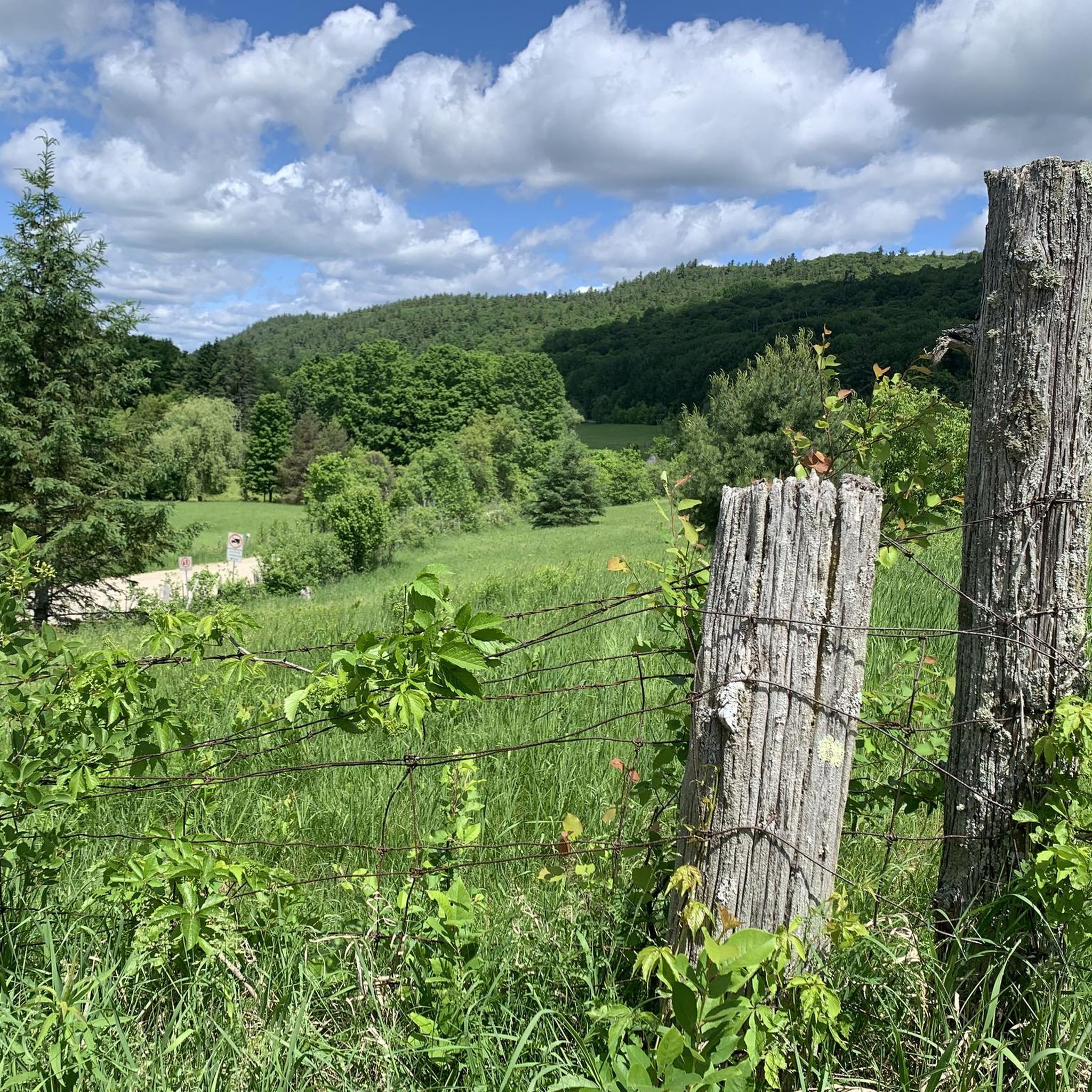
Road cycling around Val-des-Monts features a landscape characterized by rolling terrain, river valleys, and a network of roads connecting various bridges and natural landmarks. The region offers routes with varied elevation gains, from gentle undulations to more sustained climbs. Road cyclists can expect to encounter a mix of open stretches and areas with tree cover, providing diverse riding conditions.
Best road cycling routes around Val-des-Monts
- The most popular road cycling route is Chief William Commanda Bridge – Chaudière Falls loop from Gréber/De La Côte-Des-Neiges, a 25.4 miles (40.8 km) trail that takes 1 hour 44 minutes to complete. This easy route features views of prominent bridges and waterfalls.
- Another top favourite among local road cyclists is Maple Island Bridge – Rideau Falls loop from Cimitere Patrimonias, a moderate 32.6 miles (52.5 km) path. This route offers a mix of open roads and scenic points along the water.
- Local road cyclists also love the Dépanneur Bowman loop from Stationnement Nakkertok Nord, a 80.0 miles (128.8 km) trail leading through varied rural landscapes, often completed in about 6 hours 0 minutes.
- Road cycling around Val-des-Monts is defined by routes featuring bridges, river views, and rolling hills. The network offers options for different ability levels, from easy loops to more challenging long-distance rides.
- The routes in Val-des-Monts are highly rated by the komoot community with an average score of 4.9 stars from over 10 reviews. More than 600 road cyclists have used komoot to explore Val-des-Monts's varied terrain.
Last updated: August 25, 2026
4.8
(5)
47
riders
40.9km
01:44
180m
180m
Easy road ride. Great for any fitness level. Mostly well-paved surfaces and easy to ride.
18
riders
Moderate road ride. Good fitness required. Mostly well-paved surfaces and easy to ride.

Sign up for free
12
riders
37.4km
01:36
140m
140m
Easy road ride. Great for any fitness level. Mostly well-paved surfaces and easy to ride.
11
riders
Moderate road ride. Good fitness required. Mostly well-paved surfaces and easy to ride.
15
riders
129km
06:01
1,070m
1,070m
Hard road ride. Very good fitness required. Mostly well-paved surfaces and easy to ride.
Get access to more routes and recommendations from other explorers.
Sign up for free
Already have an account?
Our route recommendations are based on thousands of hikes, rides, and runs completed by other people on komoot.
Start today with a free account
Your next adventure awaits.
Login or Signup

Tips from the Community

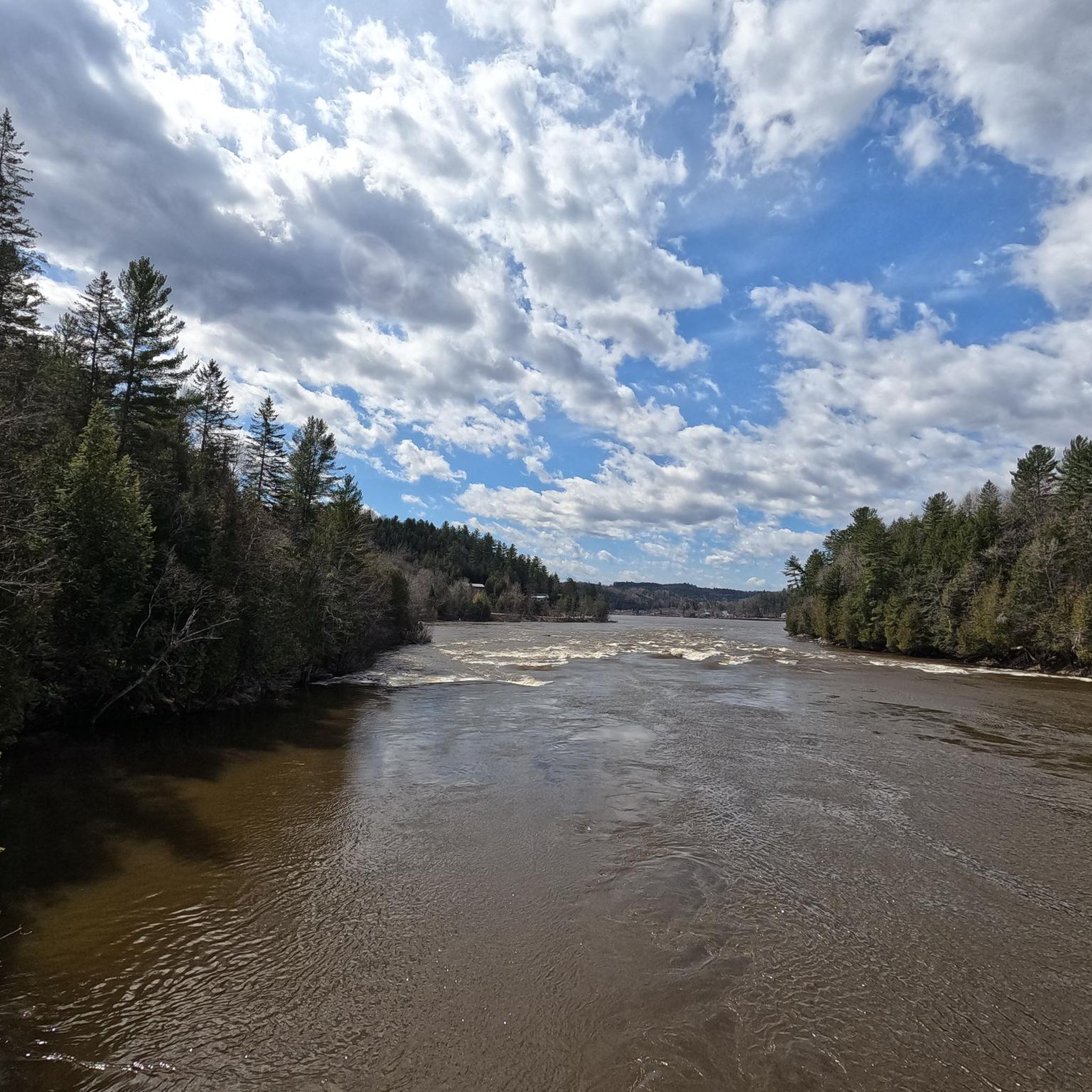
This is the end of the Gatineau River, which flows for 386 kilometres through Quebec to join with the Ottawa River at this point. The Gatineau is around 200 metres across at its confluence, which you can see from a little beach here by the path.
0
0
The Trans-Canada Trail is the largest multi-use trail system in the world, stretching for over 28,000 kilometres from coast to coast. This section along the Gatineau River is paved and offers views of the water through the trees as you walk. Near the canal to Lac Leamy you can step down to the water's edge and look out to Dinelle Twins Island.
0
0

Following the south shore of the Ottawa River, the Ottawa River Pathway is one of the National Capital Commission's signature multi-use trails. Stretching for more than 30 kilometres, it links beaches, parks, lookouts, and historic sites while offering continuous views across the river toward Gatineau. Whether you're walking or cycling, it's an easy way to experience one of Canada's most iconic waterways without leaving the city.
0
0
Spanning the Ottawa River between Ottawa and Gatineau, the Champlain Bridge provides wide views across one of Canada's most important waterways. From here you can watch boats navigating the river, spot waterbirds along the shoreline, and take in views of wooded islands and the surrounding riverbanks. Opened in 1928 and rebuilt in the early 1970s, the bridge remains a key link between Ontario and Quebec while offering a unique perspective over the Ottawa River's broad channel.
0
0

Managed by the National Capital Commission the Voyageurs Trail follows a path that has been travelled by First Nations people since time immemorial. Today it serves as a scenic route along the Ottawa River with great views of Parliament Hill passing through parks and under bridges along its 30-kilometre course.
0
0

The beautiful sandy beach acts as the perfect starting point or resting spot for a day on your feet. You can explore an extensive network of flat, paved, and dirt pathways that wind around the lake.
0
0
A short spur leads onto this restored former railway bridge, now open to walkers and cyclists. Built in 1880, the steel truss structure crosses the Ottawa River via Lemieux Island and provides wide views towards Ottawa, Gatineau, and the surrounding waterways.
0
0
This mostly level, paved multi-use pathway follows the Ottawa River towards the city centre, with frequent water views and glimpses across to Gatineau. It is shared by walkers, runners, and cyclists, while the riverside section is groomed for winter hiking, skiing, snowshoeing, and fat biking as part of the Kìchì Sìbì Winter Trail.
0
0
Frequently Asked Questions
What is the overall difficulty level of road cycling routes in Val-des-Monts?
Val-des-Monts offers a diverse range of road cycling routes. You'll find options from easy, relatively flat rides to more challenging routes with significant elevation gains. There are 5 easy routes, 13 moderate routes, and 1 difficult route available, catering to various skill levels.
What are the typical distances for road cycling routes in Val-des-Monts?
The routes in Val-des-Monts vary considerably in length. You can find shorter loops, such as the Théâtre de l'Île – Chief William Commanda Bridge loop at about 37 km, up to much longer rides like the Dépanneur Bowman loop, which covers approximately 129 km.
Are there easy road cycling routes suitable for beginners in Val-des-Monts?
Yes, Val-des-Monts has several easy road cycling routes perfect for beginners or those looking for a relaxed ride. An excellent option is the Chief William Commanda Bridge – Chaudière Falls loop, which is 40.8 km long and features minimal elevation changes.
What kind of terrain can I expect on road cycling routes in Val-des-Monts?
Road cycling in Val-des-Monts is characterized by rolling terrain, river valleys, and a network of roads connecting various bridges and natural landmarks. You'll encounter a mix of open stretches and areas with tree cover, offering diverse riding conditions and varied elevation gains.
What are some common starting points for road cycling routes in Val-des-Monts?
Many routes start from accessible locations. For example, the Chief William Commanda Bridge – Chaudière Falls loop begins from Gréber/De La Côte-Des-Neiges, while the challenging Dépanneur Bowman loop starts from Stationnement Nakkertok Nord. These points often offer convenient parking.
What can I see along the road cycling routes in Val-des-Monts?
The region offers scenic views and interesting landmarks. You might pass by the Paugan Dam, enjoy a View of the Ottawa River, or explore areas like Bay Park. Many routes also feature prominent bridges and river views.
Are there any circular road cycling routes in Val-des-Monts?
Yes, many of the road cycling routes in Val-des-Monts are designed as loops, allowing you to start and finish at the same point. Examples include the Maple Island Bridge – Rideau Falls loop and the Wakefield Covered Bridge loop.
What do other road cyclists enjoy most about road cycling in Val-des-Monts?
The area is highly rated by the komoot community, with an average score of 4.9 stars from over 10 reviews. Reviewers often praise the varied terrain, the scenic river views, and the network of roads that connect natural landmarks and bridges, offering diverse and engaging rides.
Are there any challenging road cycling routes for experienced riders in Val-des-Monts?
Yes, experienced riders seeking a challenge will find suitable routes. The Dépanneur Bowman loop is classified as difficult, covering nearly 129 km with significant elevation gain, making it a demanding ride for seasoned cyclists.
What is the best season for road biking in Val-des-Monts?
While specific seasonal conditions can vary, the spring, summer, and fall months generally offer the most pleasant conditions for road cycling in Val-des-Monts. Spring brings fresh greenery, summer offers warmth, and fall provides beautiful foliage, though it's always wise to check local weather and road conditions before heading out.
How many road cycling routes are available in Val-des-Monts?
There are 19 road cycling routes available in Val-des-Monts, offering a wide variety of distances and difficulty levels to explore the region's diverse landscape.
Most popular attractions around Val-des-Monts

Get inspired with the komoot mobile app


Explore more
Browse the best Road cycling routes in other regions.
