The best cycling routes around Albufeira de Santa Clara
4.3
(27)
79
riders
11
rides
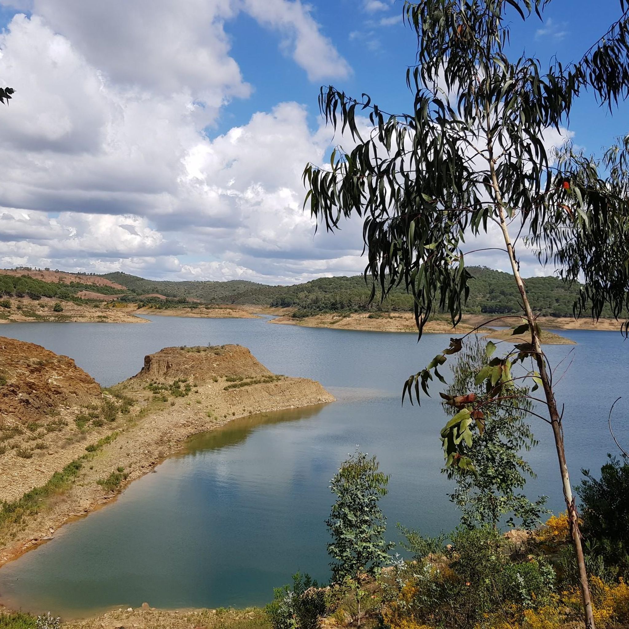
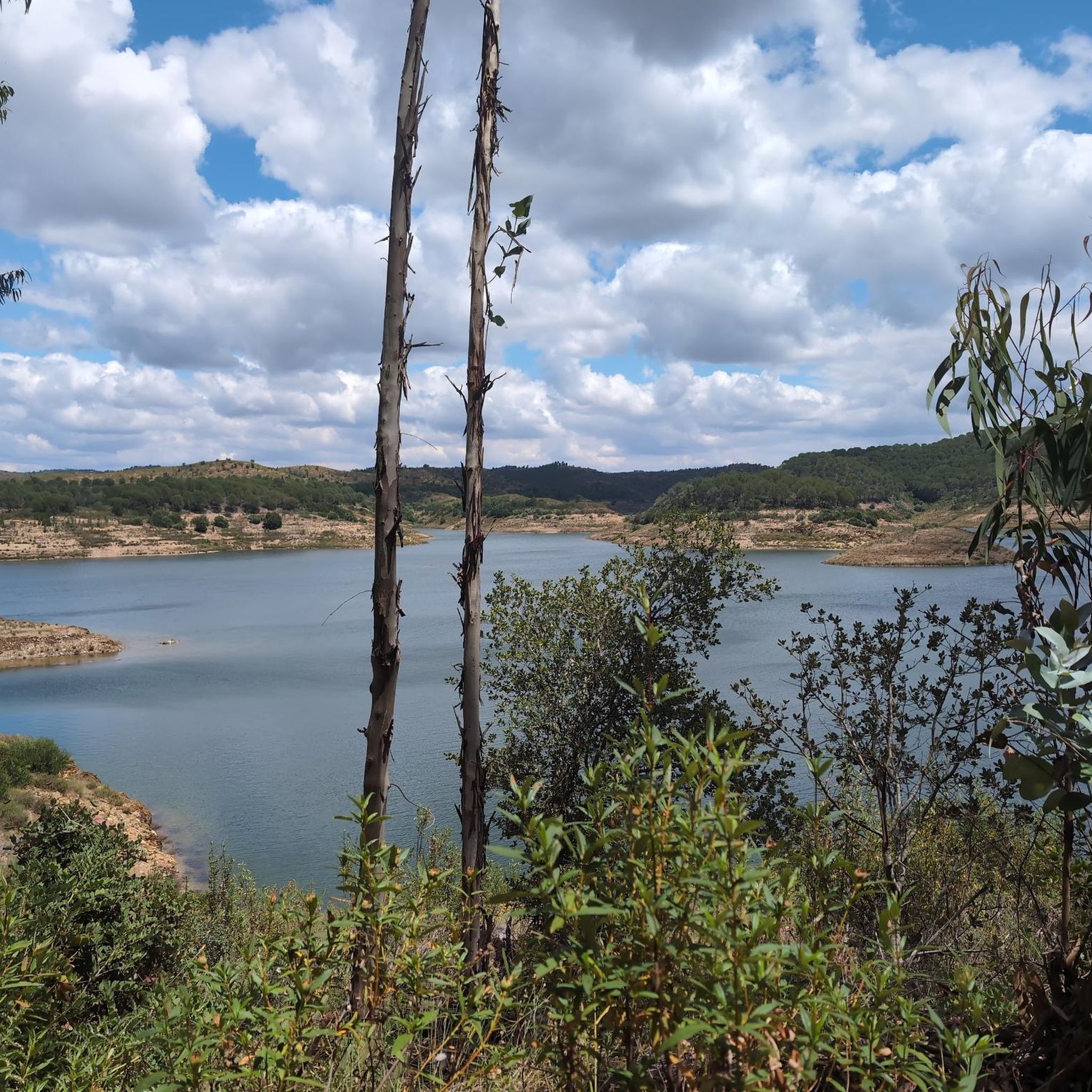
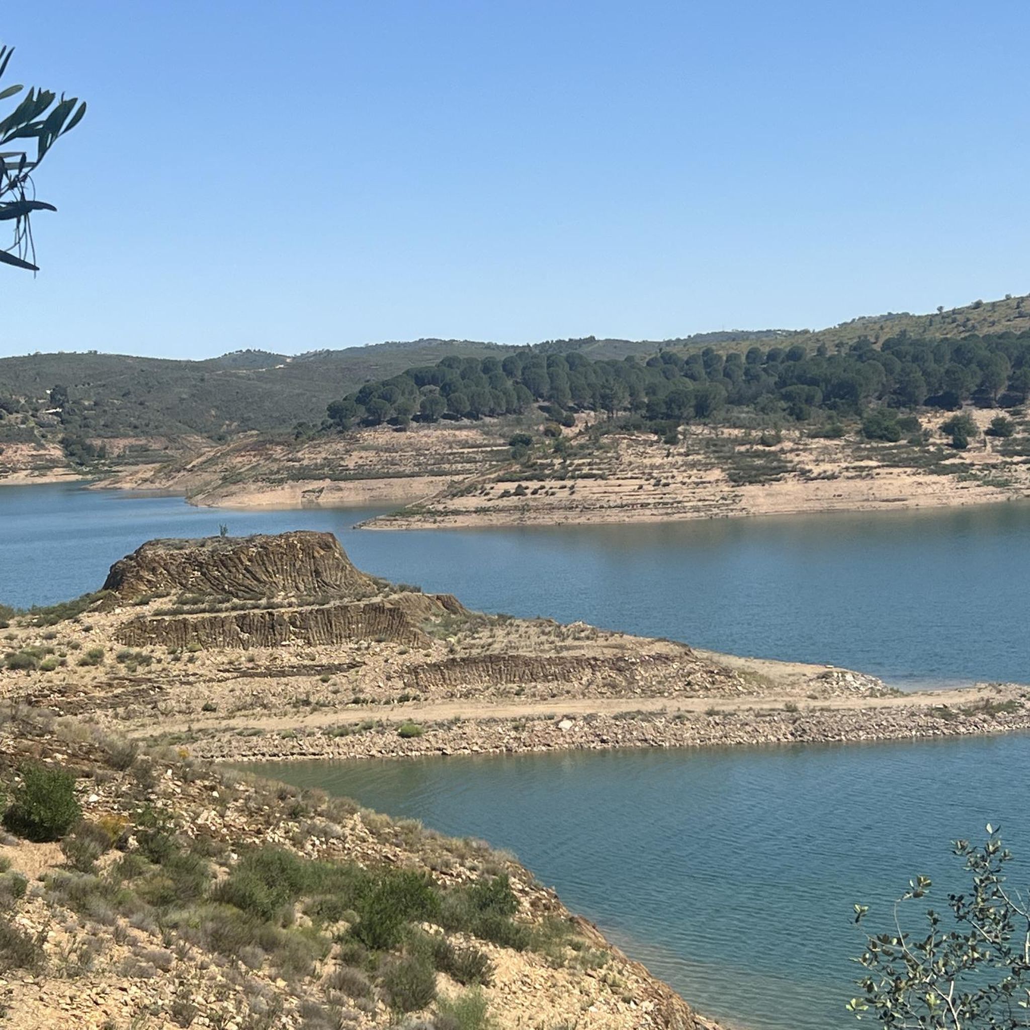
Touring cycling routes around Albufeira de Santa Clara traverse a landscape centered on the Santa Clara Dam and its expansive reservoir, impounding the Mira River. The terrain features green areas with diverse vegetation, including orange groves and fig trees, contrasting with the bright blue waters of the reservoir. Routes often include continuous ups and downs, particularly towards the Serra do Caldeirão mountain range, offering varied elevation profiles. Roads are typically well-maintained tarmac, providing a mix of accessible paths and more…
Last updated: June 27, 2026
4.8
(15)
29
riders
35.1km
02:38
280m
280m
Moderate bike ride. Good fitness required. Mostly paved surfaces. Suitable for all skill levels.
4.9
(8)
26
riders
39.4km
02:42
400m
400m
Moderate bike ride. Good fitness required. Mostly paved surfaces. Suitable for all skill levels.

Sign up for free
5.0
(2)
9
riders
Moderate bike ride. Good fitness required. Mostly paved surfaces. Suitable for all skill levels.
2.5
(2)
5
riders
21.7km
01:47
250m
250m
Moderate bike ride. Good fitness required. Mostly paved surfaces. Suitable for all skill levels.
5
riders
Moderate bike ride. Good fitness required. Mostly paved surfaces. Suitable for all skill levels.
Get access to more routes and recommendations from other explorers.
Sign up for free
Already have an account?
Our route recommendations are based on thousands of hikes, rides, and runs completed by other people on komoot.
Start today with a free account
Your next adventure awaits.
Login or Signup
Popular around Albufeira de Santa Clara
Tips from the Community

After the construction of the Santa Clara dam, the Mira River began to have little water as it passed through Santa Clara. In my youth, I often crossed the river over those cement blocks, with the water almost wetting my boots, and other times, it wouldn't allow crossing the river at that point; we had to go around using the bridge on the road. Different times. 😂🚲
0
0

The Castle of Cola is an Iron Age hillfort that was later reinforced as an Islamic fortress in Portugal’s Alentejo region, now classified as a National Monument. It forms the centre of the Castro da Cola archaeological park, which features Megalithic, Chalcolithic, Bronze, and Iron Age remains. The polygonal fortification, with thick walls, a towered entrance, and a rock-hewn cistern, was strategically positioned to guard a key route into the Algarve.
1
0

Cola Castle is a significant archaeological site. Classified as a National Monument, it was an ancient residence from the Iron Age. The larger Archaeological Park of Castro da Cola also includes other interesting prehistoric monuments including megalithic and chalcolithic ones and several necropolises dating back to the Bronze and Iron Ages. The defensive structure of the castro, dating back to the Iron Age, has a polygonal plan with reinforced blocks. The entrance was strategically controlled by a tower. The rest of the defensive structure was surrounded by walls, which are still visible today on the surrounding pastures and continue to protect the ancient castle.
1
0


Small ford (at normal water levels) that is easy to cross. If it is too deep and you don't want to take your shoes off, you can also cross on the posts. Fantastic gravel road.
1
0

Coming from Almodovar hills, this waters will go to Barragem (dam) of Santa Clara-a-Velha, Sabóia, crossing Odemira and finally get the Atlantic Ocean at Vila Nova de Milfontes.
2
0
So close and so far. Like an old Soviet nuclear submarine, here you are in deep water. Beware of the arbutus! If you drink, promise not to walk on the tarmac for the next 12 hours.
2
0

Here the Mira River is just a trickle of water most of the year.
1
0
Frequently Asked Questions
What kind of terrain can I expect on touring cycling routes around Albufeira de Santa Clara?
The terrain around Albufeira de Santa Clara offers a varied experience. You'll find well-maintained tarmac roads with relatively low traffic, making for a pleasant touring experience. Routes often feature continuous ups and downs, especially as you approach the Serra do Caldeirão mountain range, providing diverse elevation profiles. The landscape is rich in vegetation, with green areas, orange groves, fig, and olive trees, contrasting beautifully with the bright blue waters of the reservoir.
Are there any easy or beginner-friendly touring cycling routes in the area?
While many routes feature rolling hills, there are options suitable for various fitness levels. For a moderate ride with less extreme elevation, consider the Alento Ford on the Mira River – Taberna Cabrita loop from Camping Serra da Bica. This route covers 14.6 km with an elevation gain of around 180 meters, offering a good introduction to the region's beauty.
What are the best times of year to go touring cycling in Albufeira de Santa Clara?
The region is generally pleasant for cycling outside of the peak summer heat. Spring (March to May) and Autumn (September to November) offer mild temperatures and beautiful scenery, with the landscape often lush and vibrant. During these seasons, you can enjoy comfortable riding conditions and avoid the higher temperatures of mid-summer.
What natural features or landmarks can I see along the cycling routes?
Cycling routes often provide views of the tranquil Santa Clara Dam and its expansive reservoir. You'll also traverse areas along the Mira River, known for its diverse flora and fauna. Nearby villages like Santa Clara-a-Velha offer cultural landmarks such as a Roman bridge, the Chapel of Our Lady of Cola, and traditional houses with distinctive colorful stripes.
Are there any circular touring cycling routes available?
Yes, many of the touring cycling routes in Albufeira de Santa Clara are designed as loops, allowing you to start and finish at the same point. For example, the Castro da Cola – View of the Alentejo Landscape loop from Castro de Cola is a popular circular route offering panoramic views.
How many touring cycling routes are there in Albufeira de Santa Clara?
There are over 10 touring cycling routes available around Albufeira de Santa Clara, offering a range of distances and difficulty levels to explore the region's diverse landscapes.
What do other touring cyclists enjoy most about cycling in Albufeira de Santa Clara?
The area is highly rated by the komoot community, with an average score of 4.3 stars from over 20 reviews. Cyclists often praise the tranquil environment, the picturesque views of the reservoir and Alentejo landscape, and the well-maintained roads that make for an enjoyable touring experience.
Are there any challenging touring cycling routes for experienced riders?
Yes, while many routes are moderate, the region does offer more demanding trails, particularly those that venture further into or around the Serra do Caldeirão mountain range. These routes will feature more significant elevation gains and continuous ups and downs, providing a good challenge for experienced touring cyclists.
Can I find places to eat or drink along the cycling routes?
While specific cafes or restaurants directly on every route may vary, the nearby villages such as Santa Clara-a-Velha and Sabóia offer options for refreshments and meals. It's advisable to plan your route with these villages in mind for breaks.
What are the options for parking if I bring my own bike?
For cyclists arriving by car, parking is generally available in and around the villages such as Santa Clara-a-Velha or near popular starting points for routes. For instance, routes often start from locations like Castro de Cola or Camping Serra da Bica, where parking facilities are typically accessible.
Are there any routes that offer extensive views of the Alentejo landscape?
Absolutely. Many routes are designed to showcase the expansive Alentejo landscape. The Ourique Cycling Center – View of the Alentejo Landscape loop from Castro de Cola is a prime example, providing extensive panoramic views across the region during its 33.9 km journey.
Are the cycling routes suitable for families?
While some routes have continuous ups and downs, there are paths that can be enjoyed by families, especially those with some cycling experience. Look for routes with lower elevation gains and shorter distances, or consider cycling along the quieter, flatter sections near the reservoir for a more relaxed family outing.
What kind of vegetation and natural beauty can I expect to see?
The region is characterized by a rich variety of vegetation. You'll cycle through areas with orange groves, fig, and olive trees, as well as mimosas and willows, especially along the Mira River. The bright blue waters of the reservoir provide a stunning contrast to the surrounding greenery, and you might even spot various bird species, including the azure-winged magpie.
Most popular routes around Albufeira de Santa Clara

Get inspired with the komoot mobile app


Explore more
Browse the best Cycling routes in other regions.
