The best road cycling routes around Albufeira da Aguieira
4.7
(20)
736
riders
72
rides
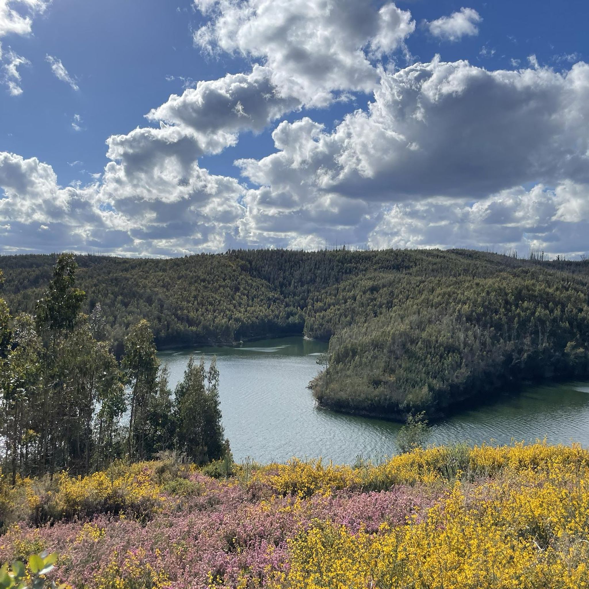
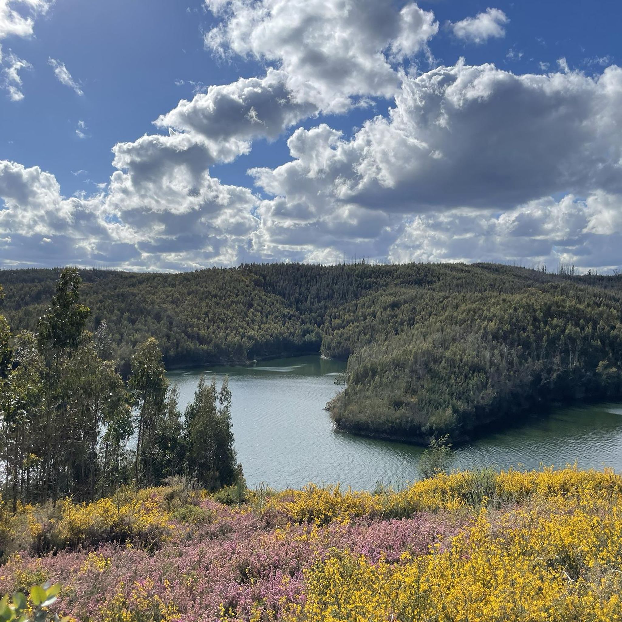
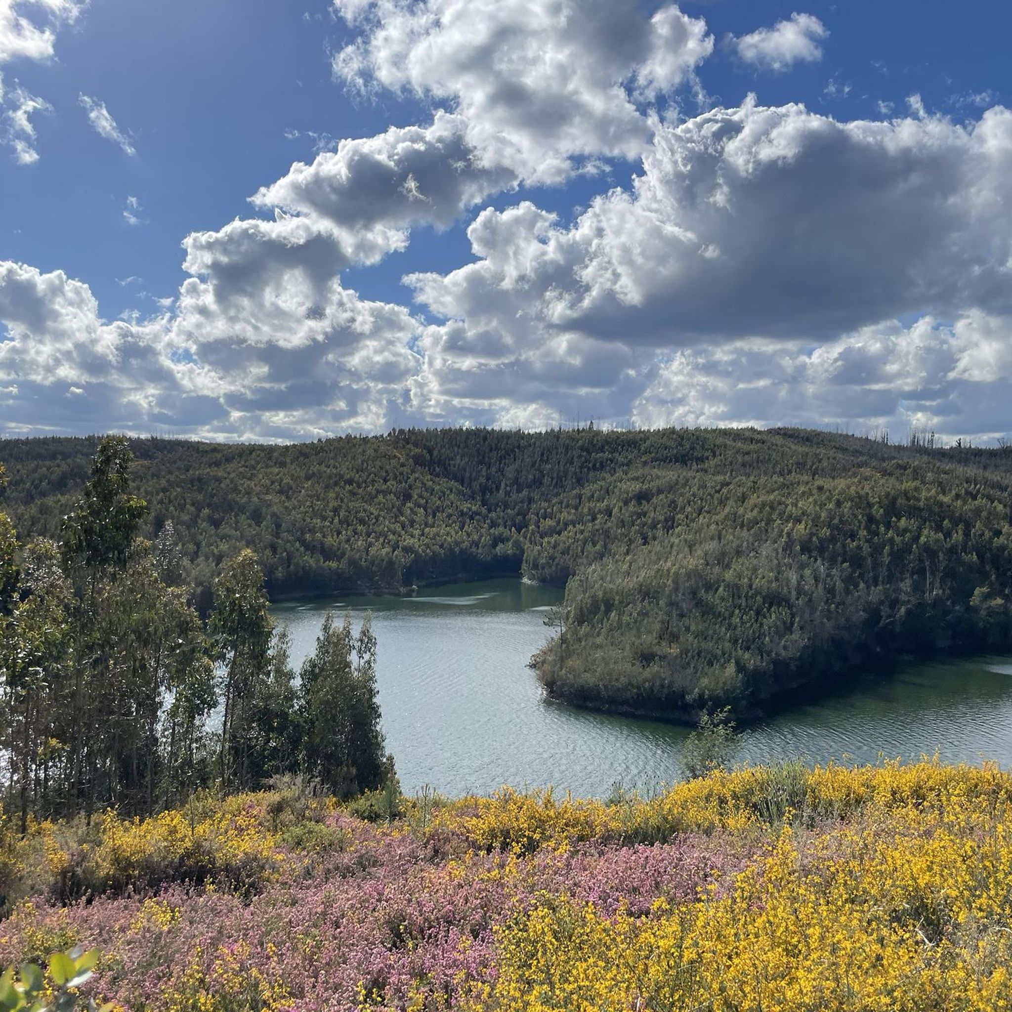
Road cycling around Albufeira da Aguieira offers a diverse landscape for cyclists. The region is characterized by the large reservoir, surrounded by rolling hills and forested areas, providing varied terrain for road bike routes. Elevations are generally moderate, with some longer climbs present in the more difficult routes. The area features a network of paved roads suitable for road cycling, connecting small villages and offering scenic views of the water and surrounding nature.
Best road cycling routes around Albufeira da…
Last updated: July 8, 2026
14
riders
83.6km
04:32
1,650m
1,650m
Hard road ride. Very good fitness required. Mostly well-paved surfaces and easy to ride.
13
riders
56.4km
02:44
790m
790m
Moderate road ride. Good fitness required. Mostly well-paved surfaces and easy to ride.

Sign up for free
12
riders
105km
05:13
1,620m
1,620m
Hard road ride. Very good fitness required. Some segments of this route may be unpaved and difficult to ride.
12
riders
36.8km
01:49
500m
500m
Moderate road ride. Good fitness required. Mostly well-paved surfaces and easy to ride.
6
riders
65.3km
03:09
920m
920m
Hard road ride. Very good fitness required. Mostly well-paved surfaces and easy to ride.
Get access to more routes and recommendations from other explorers.
Sign up for free
Already have an account?
Our route recommendations are based on thousands of hikes, rides, and runs completed by other people on komoot.
Start today with a free account
Your next adventure awaits.
Login or Signup
Tips from the Community

The Ponte Real (or Ponte Velha) over the Ceira River is located in the village of Góis, being one of the historical ex-libris of the region. This medieval-style bridge, later reformed, is an important tourist attraction, crossing the Ceira River, a left-bank tributary of the Mondego River, which originates in the Serra do Açor. Location: Center of the village of Góis, facilitating pedestrian access. Characteristics: Imposing structure with stone arches, typical of crossing constructions from the monarchical period. Surroundings: The Ceira River, near this area, offers river beaches highly sought after during the summer, standing out for the quality of the water and tranquility. History: It is part of the built heritage from the Manueline/medieval period of the region.
1
0

The Santa Comba Dão Viewpoint Route is an invitation to discover the town center and an entire territory dominated by a landscape of forest and river. Outeirinho, Pedra Talhada, and Santo Estêvão are the three viewpoints along the route and the connecting points of this georeferenced pedestrian route, which leads the visitor through a pleasant and cultural journey in the heart of the historic center. A route composed of narrow streets and squares, cobblestone paths and walkways, revealing the changing riverbanks and showcasing authentic architectural and historical treasures that capture the eye and awaken the senses.
1
0

Nestled along the banks of the Alva River, Côja is immersed in a green environment, surrounded by mountains and forests. The village is characterized by traditional architecture, a charming Roman bridge and a peaceful atmosphere.
1
0

Very good cafe, opens early, always fresh home-made pastries, delicious coffee. Prices are pleasing, staff is friendly.
0
0

A place of passage, for other tours, a very beautiful hike along the river just at Mortágua (parque verde)
0
0

Ribeira de Montágua begins in the village of the same name, Montágua, and flows into the Mondego River. Next to the bridge is a small river beach.
0
0
The Aguieira Dam, also known as the Foz do Dão Dam, located on the Mondego River between Penacova and Mortágua, was started in 1973 and inaugurated in 1981. At 89 meters high, it is a multiple arch dam used for hydroelectric production, irrigation , flood control and recreation. Its reservoir has submerged local villages and supplies water to Coimbra and neighboring municipalities.
0
0
The Aguieira Dam, also known as the Foz do Dão Dam, located on the Mondego River between Penacova and Mortágua, was started in 1973 and inaugurated in 1981. At 89 meters high, it is a multiple arch dam used for hydroelectric production, irrigation , flood control and recreation. Its reservoir has submerged local villages and supplies water to Coimbra and neighboring municipalities.
0
0
Frequently Asked Questions
What kind of terrain can I expect on road cycling routes around Albufeira da Aguieira?
The region offers diverse terrain, characterized by the large reservoir, rolling hills, and forested areas. You'll find a network of paved roads connecting small villages, providing varied landscapes and scenic views of the water and surrounding nature. Elevations are generally moderate, though some routes feature longer, more challenging climbs.
Are there road cycling routes suitable for beginners in Albufeira da Aguieira?
Yes, while many routes are moderate to difficult, there are options for beginners. The area features 2 easy routes and 43 moderate routes, which can be a good starting point for those new to road cycling in the region. These routes typically have less elevation gain and shorter distances.
What are some challenging road cycling routes for experienced riders?
For experienced riders seeking a challenge, Albufeira da Aguieira offers 31 difficult routes. Notable options include Castelo de Avô – Côja loop from Tábua, a 52.2-mile route with significant elevation gain, and the 56.6-mile Royal Bridge over the Ceira River – Secarias River Beach loop from Tábua, known for its challenging climbs and descents.
Are there any circular road cycling routes in the area?
Many of the road cycling routes around Albufeira da Aguieira are designed as loops, offering circular journeys. For example, the Côja – Fonte de Amandos loop from Tábua is a 35.1-mile route through forested hills and villages, and the Ribeira de Mortágua loop from Mortágua offers a moderate 22.9-mile ride.
What is the best season for road biking around Albufeira da Aguieira?
While specific seasonal data isn't provided, regions with reservoirs and rolling hills like Albufeira da Aguieira are generally pleasant for road cycling during spring and autumn. These seasons typically offer milder temperatures and less rainfall, making for more comfortable rides. Summer can be warm, especially at midday, while winter might bring cooler, wetter conditions.
What do other road cyclists say about the routes in Albufeira da Aguieira?
The road cycling routes in Albufeira da Aguieira are highly rated by the komoot community, with an average score of 4.7 stars from over 10 reviews. Cyclists often praise the scenic views of the reservoir, the varied terrain, and the well-maintained paved roads that connect charming small villages.
Are there any family-friendly road cycling options?
While many routes are moderate to difficult, families looking for easier rides can explore the 2 easy routes available. These shorter, less strenuous options are ideal for a more relaxed cycling experience with children, allowing enjoyment of the scenic surroundings without significant climbs.
What are some scenic viewpoints or attractions along the road cycling routes?
The routes often feature scenic views of the Albufeira da Aguieira reservoir and pass through forested areas and small villages. Some routes, like the Royal Bridge over the Ceira River – Secarias River Beach loop from Tábua, include historical bridges and river beaches, offering picturesque stops. The intro also mentions Castelo de Avô, suggesting historical points of interest.
How long do road cycling routes typically take to complete in this region?
The duration of road cycling routes varies significantly based on distance and difficulty. For example, the moderate Côja – Fonte de Amandos loop from Tábua typically takes about 2 hours 45 minutes, while the more challenging Castelo de Avô – Côja loop from Tábua can take around 4 hours 36 minutes.
Are there many road cycling routes available around Albufeira da Aguieira?
Yes, there are over 70 road cycling routes available around Albufeira da Aguieira. This extensive network provides a wide range of options for cyclists of all abilities, from easy rides to challenging, long-distance tours.
Can I find routes that pass through small villages or offer cafe stops?
Many routes in the region connect small villages, which often provide opportunities for cafe stops and to experience local culture. The network of paved roads is designed to link these communities, making it convenient to find refreshments along your ride.
What are the typical weather conditions for road cycling in Albufeira da Aguieira?
The region generally experiences a Mediterranean climate. Summers are typically warm and dry, while winters are mild and can be rainy. Spring and autumn offer pleasant temperatures, making them ideal for road cycling. Always check the local forecast before heading out, especially for potential winds around the open reservoir areas.
Most popular routes around Albufeira da Aguieira

Get inspired with the komoot mobile app


Explore more
Browse the best Road cycling routes in other regions.
