The best running trails around Blandford-Blenheim
5.0
(1)
40
runners
13
runs
Jogging around Blandford-Blenheim offers a tranquil experience through Southwestern Ontario's rural landscape. The region is characterized by its network of scenic backroads, passing by farms and forests, and the winding Nith River valley. Natural areas like the Chesney Wilderness Area provide varied terrain, including hard earth surfaces and boardwalks. This diverse environment makes it suitable for a range of running experiences.
Best jogging routes around Blandford-Blenheim
- The most popular jogging route is Sunfish Pond – Board of Education Pond loop…
Last updated: July 1, 2026
8
runners
Moderate run. Good fitness required. Mostly paved surfaces. Suitable for all skill levels.
3
runners
8.27km
00:54
70m
70m
Moderate run. Good fitness required. Mostly paved surfaces. Suitable for all skill levels.

Sign up for free
3
runners
Moderate run. Good fitness required. Mostly paved surfaces. Suitable for all skill levels.
5.0
(1)
2
runners
6.50km
00:40
40m
40m
Moderate run. Good fitness required. Mostly paved surfaces. Suitable for all skill levels.
2
runners
7.00km
00:48
60m
60m
Moderate run. Good fitness required. Mostly paved surfaces. Suitable for all skill levels.
Get access to more routes and recommendations from other explorers.
Sign up for free
Already have an account?
Our route recommendations are based on thousands of hikes, rides, and runs completed by other people on komoot.
Start today with a free account
Your next adventure awaits.
Login or Signup
Popular around Blandford-Blenheim
Tips from the Community

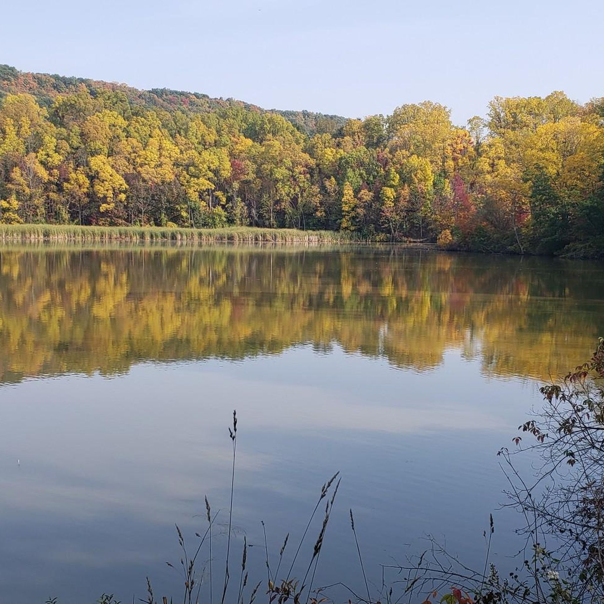
This section of the trail crosses a long wooden boardwalk suspended above dense wetland vegetation, offering wide views of willows, reeds, and the slow-moving, Doon Creek, hidden just beyond the greenery. The even planks make it easy for walking and running. In summer, the boardwalk feels almost enclosed by lush green growth on both sides, with open wetland pockets visible through breaks in the foliage.
0
0
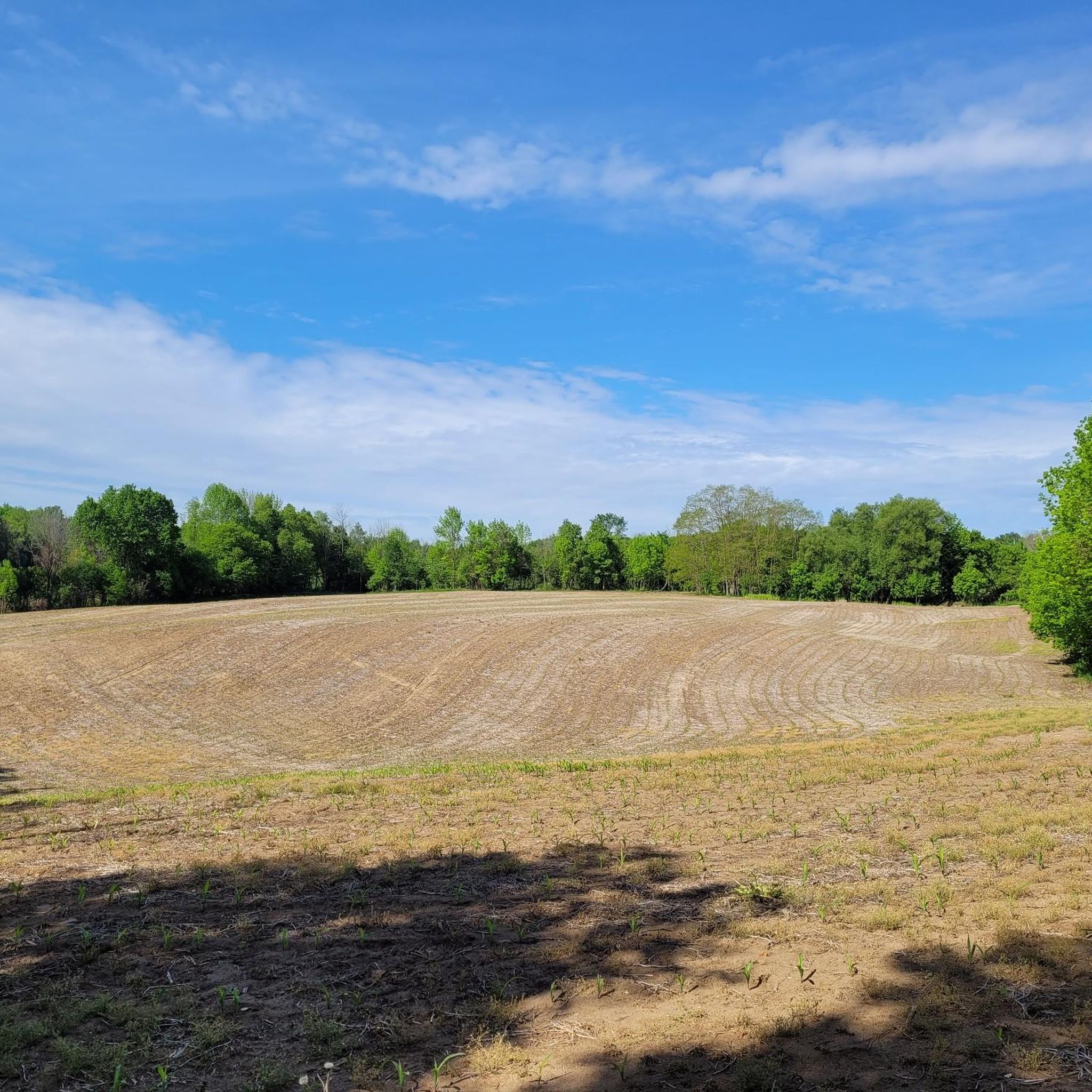
This stretch of Tilts Trail opens into a wide, grassy clearing before curving back toward the woodland, offering a bright break from the shaded forest on either side. The hard-packed surface is easy to follow whether you’re walking, running, or cycling, but it can turn muddy after rain or during spring melt, so runners should take extra care with footing.
0
0
Running behind the homes off Woodfield Court, this short neighbourhood woodland corridor forms one of the most sheltered sections of Tilts Trail. Here, the path winds through a mix of mature deciduous trees and understory shrubs, creating a cool, shaded stretch ideal for walking, running, or cycling.
0
0

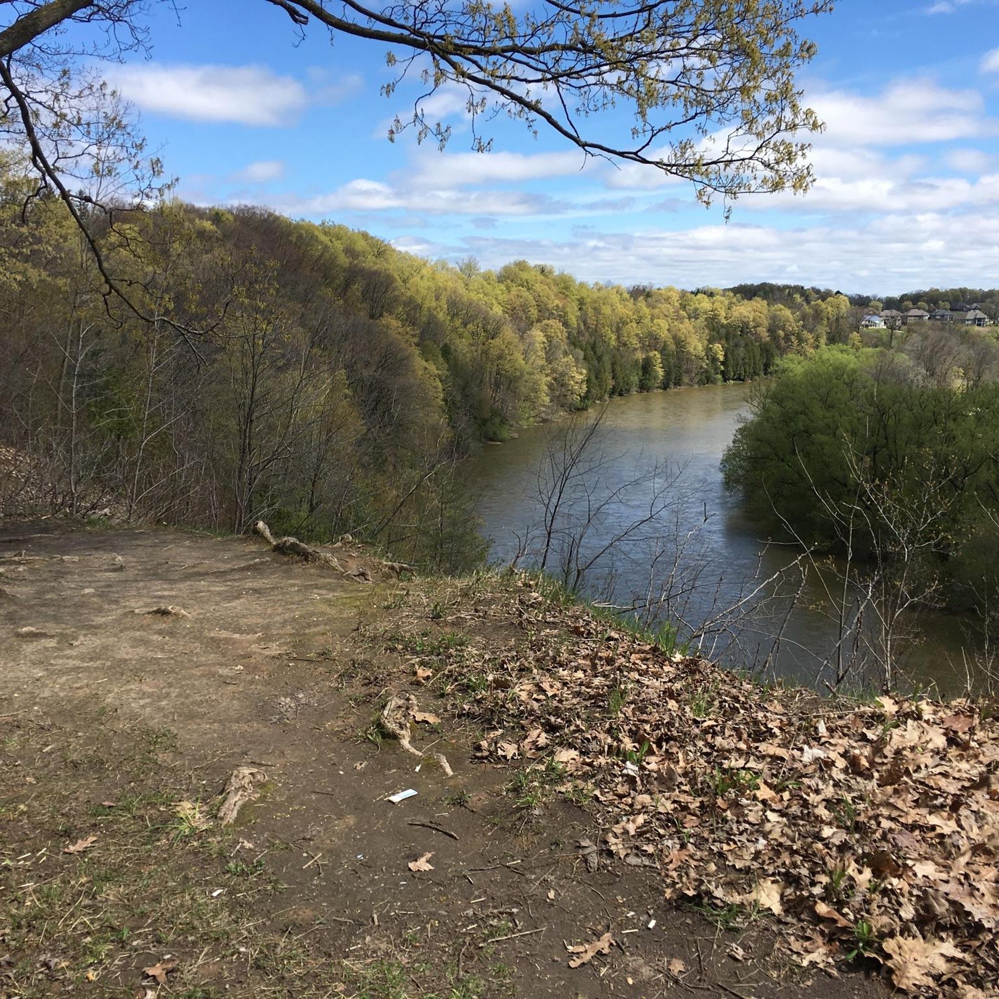
The Grand River is a major waterway that stretches nearly 280 kilometers through the southern part of Ontario. It winds past farmland, forests, and historic towns before flowing into the Lake Erie. There are multiple ways to enjoy what the river has to offer such as hiking long-distance routes like the Grand Valley Trail, or paddling peaceful river stretches with access from several points. Wildlife is also abundant along its banks, making it a great pick for a nature-focused outing.
0
0
Frequently Asked Questions
How many running routes are available in Blandford-Blenheim?
There are over 15 dedicated running routes around Blandford-Blenheim listed on komoot, offering a variety of experiences for different fitness levels. These include 1 easy route, 9 moderate routes, and 5 difficult routes.
Are there any easy or beginner-friendly jogging routes in Blandford-Blenheim?
Yes, Blandford-Blenheim offers at least one easy jogging route. Additionally, many of the rural backroads and paths within areas like the Chesney Wilderness Area provide gentler terrain suitable for beginners or those looking for a less strenuous run. The Maple and Hemlock Trails within Chesney are known for being gentle.
What kind of terrain can I expect on the running trails in Blandford-Blenheim?
The running trails in Blandford-Blenheim offer diverse terrain. You can expect hard earth surfaces, occasional tree roots, and even sections of boardwalk in natural areas like the Chesney Wilderness Area. Many routes also follow scenic rural roads, passing by farms and forests, providing a mix of paved and unpaved surfaces.
Are there any circular running routes in Blandford-Blenheim?
Yes, many of the popular running routes in the area are circular. For example, the Sunfish Pond – Board of Education Pond loop from Williamsburg is a moderate 9.8 km circular trail, and the Upper Canada Park loop from Doon is an 8.3 km moderate loop.
What are some scenic viewpoints or attractions I can see while running in Blandford-Blenheim?
While running in Blandford-Blenheim, you can enjoy picturesque views of the Nith River Valley, which winds through 55 kilometers of countryside, offering glimpses of old settlements and iron bridges. You might also encounter natural areas like the Chesney Wilderness Area or the Downey Tract. For specific landmarks, consider exploring near the SC Johnson Rail Trail Along the Nith River or Homer Watson Park.
Are there family-friendly running options in Blandford-Blenheim?
Yes, the region's diverse trails include options suitable for families. The Chesney Wilderness Area, with its gentle Maple and Hemlock Trails, offers a pleasant environment for a family run or walk. The rural roads also provide safe, scenic paths away from heavy traffic, ideal for a family outing.
Can I bring my dog on the running trails in Blandford-Blenheim?
Many natural areas and rural paths in Blandford-Blenheim are generally dog-friendly, but it's always best to check specific trail regulations. When running with your dog, ensure they are on a leash and that you clean up after them to maintain the natural beauty of the area for all users.
What do other runners say about jogging in Blandford-Blenheim?
The running routes in Blandford-Blenheim are highly rated by the komoot community, with an average score of 5.0 stars. Runners often praise the tranquil experience through Southwestern Ontario's rural landscape, the varied terrain, and the opportunity to connect with nature.
Are there any running routes that follow a river or have water features?
Yes, the Nith River Valley is a prominent natural feature in Blandford-Blenheim. While primarily known for canoeing, the river valley itself provides picturesque views and potential for riverside jogging routes. The SC Johnson Rail Trail Along the Nith River is a specific highlight that offers water views.
Where can I find parking for running routes in Blandford-Blenheim?
Parking availability varies by route. For trails within designated natural areas like the Chesney Wilderness Area, there are often small parking lots. When exploring rural roads, look for safe pull-offs or designated parking areas near trailheads or community parks in villages like Bright, Plattsville, Drumbo, and Princeton.
What is a good moderate running route to try in Blandford-Blenheim?
A great moderate option is the Doon Creek Natural Area loop from Doon. This 7.0 km route offers varied terrain and can typically be completed in under an hour, providing a rewarding experience through a natural setting.
Are there any longer running routes for experienced runners?
For experienced runners looking for a longer challenge, the Woodfield Court Woodland – Rembrandt Pinnacle Woods loop from Doon is a good option. This moderate route spans approximately 9.6 km and takes about an hour to complete, offering a substantial workout through wooded areas.
Most popular attractions around Blandford-Blenheim

Get inspired with the komoot mobile app


Explore more
Browse the best Running Trails & Routes in other regions.
