The best walks and hikes around Unorganized South Nipissing
4.7
(935)
6,343
hikers
44
hikes
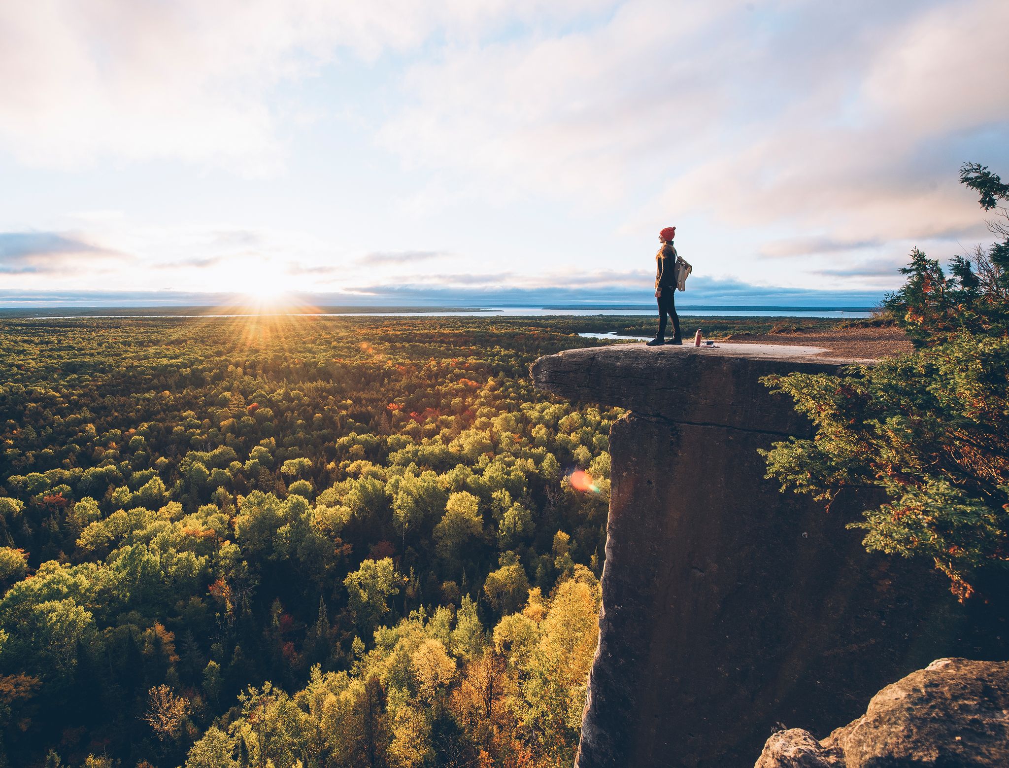
Hiking around Unorganized South Nipissing offers access to the vast wilderness of the Canadian Shield, characterized by expansive maple hills, rocky ridges, and thousands of interconnected lakes and forests. The region's terrain includes geological features like the Grenville Province, with unique rock formations, alongside marshlands and sand dunes. This diverse landscape provides varied environments for outdoor exploration.
Best hiking trails around Unorganized South Nipissing
- The most popular hiking route is Track and Tower Trail, a 4.9 miles (7.9 km)…
Last updated: August 24, 2026
4.7
(160)
976
hikers
7.91km
02:16
180m
180m
Moderate hike. Good fitness required. Easily-accessible paths. Suitable for all skill levels.
4.4
(33)
199
hikers
2.31km
00:37
30m
30m
Easy hike. Great for any fitness level. Easily-accessible paths. Suitable for all skill levels.

Sign up for free
29
hikers
25.5km
06:56
380m
380m
Hard hike. Very good fitness required. Easily-accessible paths. Suitable for all skill levels.
5.0
(1)
11
hikers
3.38km
00:58
80m
80m
Easy hike. Great for any fitness level. Easily-accessible paths. Suitable for all skill levels.
8
hikers
32.3km
09:05
640m
630m
Hard hike. Very good fitness required. Easily-accessible paths. Suitable for all skill levels.
Get access to more routes and recommendations from other explorers.
Sign up for free
Already have an account?
Our route recommendations are based on thousands of hikes, rides, and runs completed by other people on komoot.
Start today with a free account
Your next adventure awaits.
Login or Signup
Other adventures around Unorganized South Nipissing

Tips from the Community

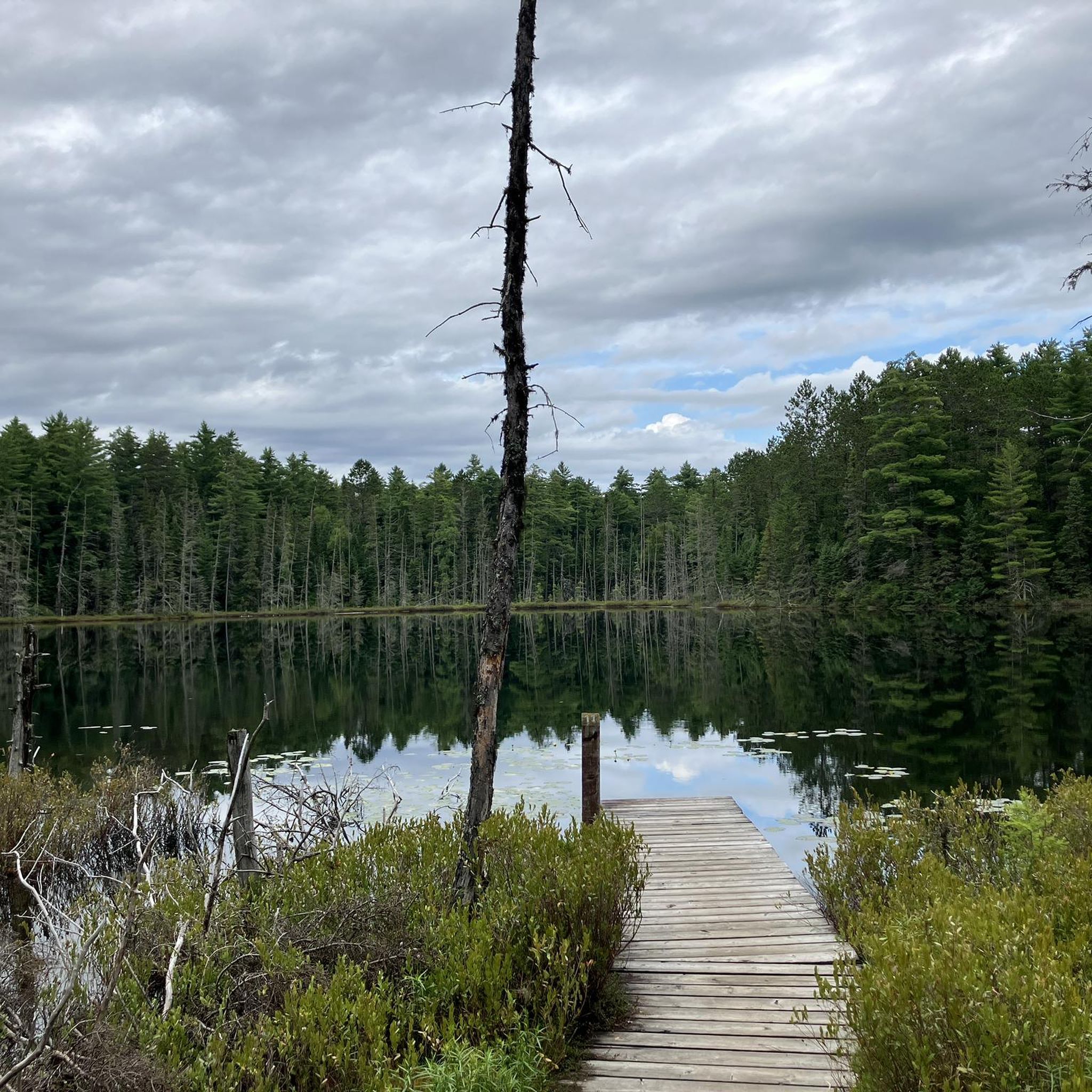
Guskewau Lake is a peaceful backcountry lake nestled right along the Western Uplands Backpacking Trail. Located roughly four kilometres from the main trailhead, it’s a picturesque and popular spot with day hikers and a first overnight stop for backpackers heading out on a longer trek. The lake water is clear, and the surrounding forest is dense, with secluded backcountry campsites complete with tent spaces and fire pits.
0
0

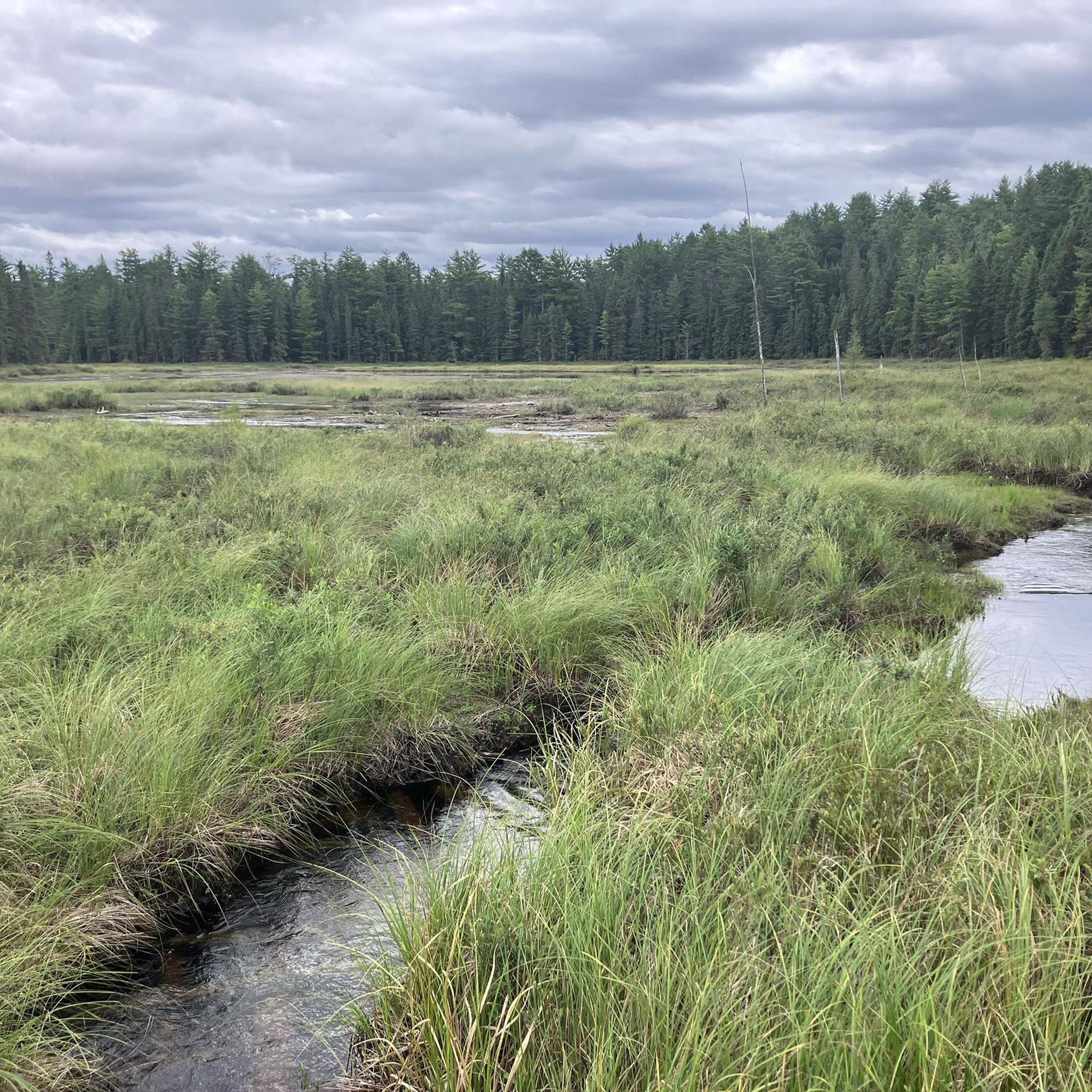
This stream joins with Maple Leaf Creek (which you cross just west of here along the trail) and empties into the Oxtongue River. If you were to float three kilometres downstream, you'd end up at some backcountry campsites along the Oxtongue that are only accessible via waterway.
0
0
You can hike all around the coast of Maggie Lake, and there are at least 13 different backcountry camping sites to choose from. Here at the end of the peninsula the trail splits and you can venture out to camp or explore the water's edge.
0
0

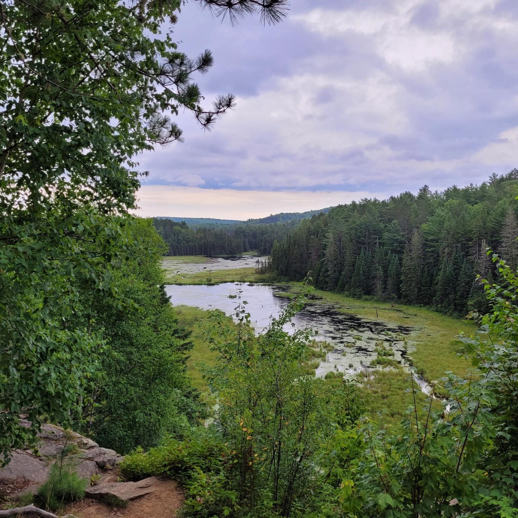
One of Algonquin Provincial Park's premier backpacking routes, the Western Uplands Trail leads through a rugged landscape of forests, lakes, wetlands, and rocky ridges. The trail network offers several loop options ranging from overnight trips to multi-day adventures, with backcountry campsites scattered along remote lakes. Expect a more challenging experience than Algonquin's day-hiking trails, with frequent elevation changes and long stretches of true wilderness between access points.
0
0

Tecumseh Lake is a pristine and remote lake with clear water and is surrounded by forest. The shore has small inlets and rocky sections and can only be accessed by hiking. There are a few remote campsites dotting its beaches, and it's almost sure to be a secluded visit.
0
0
The Brent Crater Trail leads to the ancient rim of a meteorite impact site estimated to be hundreds of millions of years old. There are lookout points over the round depression that was once the strike zone. The site is not immediately apparent from ground level, but there are interpretive signs that help explain the geology and what to look for to see remnants of the huge crater.
0
0
Maskwa Lake is a remote lake surrounded by forest with an undeveloped and rocky shoreline. Though the lake is accessible by Brent Road, it still feels remote and quiet, with no amenities.
0
0

First established in 1893, Algonquin Provincial Park is the oldest provincial park in Canada, and at 635 square kilometers (4,744 sq mi), it is also one of the largest. Due to its proximity to Toronto it can get very busy but it's large enough that those seeking solitude can still find it. Visitors have a wide array of outdoor activities to engage in from hiking and mountain biking to camping, kayaking, and fishing. The park is open year round making cross-country skiing and snowshoeing popular winter activities.
1
0
Frequently Asked Questions
How many hiking trails are available in Unorganized South Nipissing?
There are over 40 hiking routes in Unorganized South Nipissing, catering to various skill levels. This includes 24 easy trails, 12 moderate routes, and 4 more challenging options, all set within the diverse landscapes of the Canadian Shield.
What kind of terrain can I expect on hikes in Unorganized South Nipissing?
The region's terrain is characterized by the Canadian Shield, featuring expansive maple hills, rocky ridges, and thousands of interconnected lakes and forests. You'll encounter geological formations like those in the Grenville Province, along with marshlands and sand dunes, offering a varied hiking experience.
Are there any family-friendly hiking trails in Unorganized South Nipissing?
Yes, there are many family-friendly options. The Two Rivers Trail is an easy 2.3 km loop through woodlands and along the North Madawaska River, perfect for a shorter outing. The Beaver Pond Trail is also known for its serene and beautiful walk, suitable for families.
Which trails offer the best scenic views in Unorganized South Nipissing?
For outstanding views, consider the Track and Tower Trail, which leads to an old fire tower location with panoramic vistas over Cache Lake. Another excellent choice is the Centennial Ridges Lookout loop, offering scenic vistas, especially towards Cloud Lake.
Can I spot wildlife while hiking in Unorganized South Nipissing?
Absolutely. The region, particularly within Algonquin Provincial Park, is excellent for wildlife viewing. The Mizzy Lake Trail is renowned for opportunities to spot moose, bear, wolf, beaver, and white-tailed deer as it winds through nine ponds and small lakes.
Are there any circular hiking routes available?
Yes, many trails in the region are designed as loops. The Centennial Ridges Lookout – Cloud Lake loop is a popular moderate option. The Two Rivers Trail is also an easy loop, providing a complete circuit through woodlands.
What do other hikers enjoy most about hiking in Unorganized South Nipissing?
The area is highly rated by the komoot community, with an average score of 4.6 stars from nearly 800 reviews. Hikers frequently praise the pristine wilderness, diverse landscapes, and the excellent opportunities for wildlife spotting, especially within Algonquin Provincial Park.
Are there any less crowded hiking trails in the region?
While Algonquin Provincial Park trails can be popular, exploring areas like South Bay Provincial Park offers opportunities for quieter hikes along its sheltered bays and scenic shoreline. Mashkinonje Provincial Park, though slightly west, also provides extensive trails where you can experience diverse terrain with fewer crowds.
What are some notable natural attractions or landmarks to see along the trails?
Beyond the trails themselves, you can explore several natural highlights. The Beaver Pond Trail is a beautiful natural area. You can also visit Jack Lake or various viewpoints like Lookout Viewpoint in Algonquin Provincial Park and Rocky Top Viewpoint for stunning vistas.
What is the best season for hiking in Unorganized South Nipissing?
The region offers hiking opportunities throughout the year. Spring and fall provide vibrant foliage and cooler temperatures, ideal for longer hikes. Summer is popular for combining hiking with water activities on the many lakes. Winter offers unique experiences for snowshoeing and cross-country skiing on some trails.
Are there any trails that follow old railway lines?
Yes, the Old Railway Trail in Algonquin Provincial Park is a popular route that follows an abandoned railway bed, offering a unique historical perspective alongside natural beauty. Sections of the old railway bed can also be found on the Track and Tower Trail.
Are there any trails with waterfalls or rapids?
While not explicitly listed in the guide data, the region's extensive river systems, particularly within Algonquin Provincial Park, suggest opportunities for rapids. The High Falls Trail, for example, follows the York River and provides views of rapids and High Falls, offering a chance to experience dynamic water features.
Most popular attractions around Unorganized South Nipissing

Get inspired with the komoot mobile app


Explore more
Browse the best Hikes in other regions.
