The best walks and hikes around Fort Erie
3.7
(6)
75
hikers
23
hikes
Hiking around Fort Erie offers diverse landscapes, from the flat terrain along Lake Erie's shoreline to low sand hills and a limestone ridge. The region is characterized by extensive trail networks, including paved paths and more rugged routes through wooded areas and wetlands. Its location where Lake Erie meets the Niagara River provides waterfront views and connects to broader trail systems. These natural features create varied opportunities for outdoor activities.
Best hiking trails around Fort Erie
- The most popular hiking…
Last updated: October 8, 2026
6
hikers
2.25km
00:35
10m
10m
The Hoyt Lake loop offers a delightful urban escape, tracing a 1.4-mile (2.3 km) path around the tranquil waters of Hoyt Lake in Buffalo's historic Delaware Park. This easy hike,…
6.23km
01:35
20m
10m
The Fuhrmann Boulevard Sidepath offers a delightful and easy escape along Buffalo's Outer Harbor, perfect for a relaxed outing. This paved, multi-use trail provides continuous, sweeping views of Lake Erie,…

4.34km
01:07
10m
20m
If you're seeking an easy, scenic outing in Buffalo, the Jesse Kregal Pathway is a fantastic choice. This easy 2.7-mile (4.3 km) hike features a gentle 48 feet (15 metres)…
15.0km
03:48
40m
50m
The Tonawanda to Buffalo via Shoreline Trail Riverwalk offers a unique opportunity to experience the Niagara River's beauty on a flat, paved path. As you traverse this 9.3-mile (15.0 km)…
586km
148:39
1,250m
1,440m
The Erie Canalway Trail offers an immersive journey across New York, tracing the historic canal from Buffalo to Albany. This truly difficult route spans 364.3 miles (586.3 km) with 4109…
Get access to more routes and recommendations from other explorers.
Already have an account?
Our route recommendations are based on thousands of hikes, rides, and runs completed by other people on komoot.
Tips from the Community

Nice walk. Current opening hours can be found on the Facebook page. Volunteers work very hard. Many volunteers are out and about and enjoy chatting.
3
0
The perfect place to spend a sunny Sunday afternoon with the family or watch a beautiful sunset that seems to easily last an hour or more. There are so many small beaches along the Lake Erie shoreline between Maumee Bay and Catawba Island that you won't be disappointed.
3
0
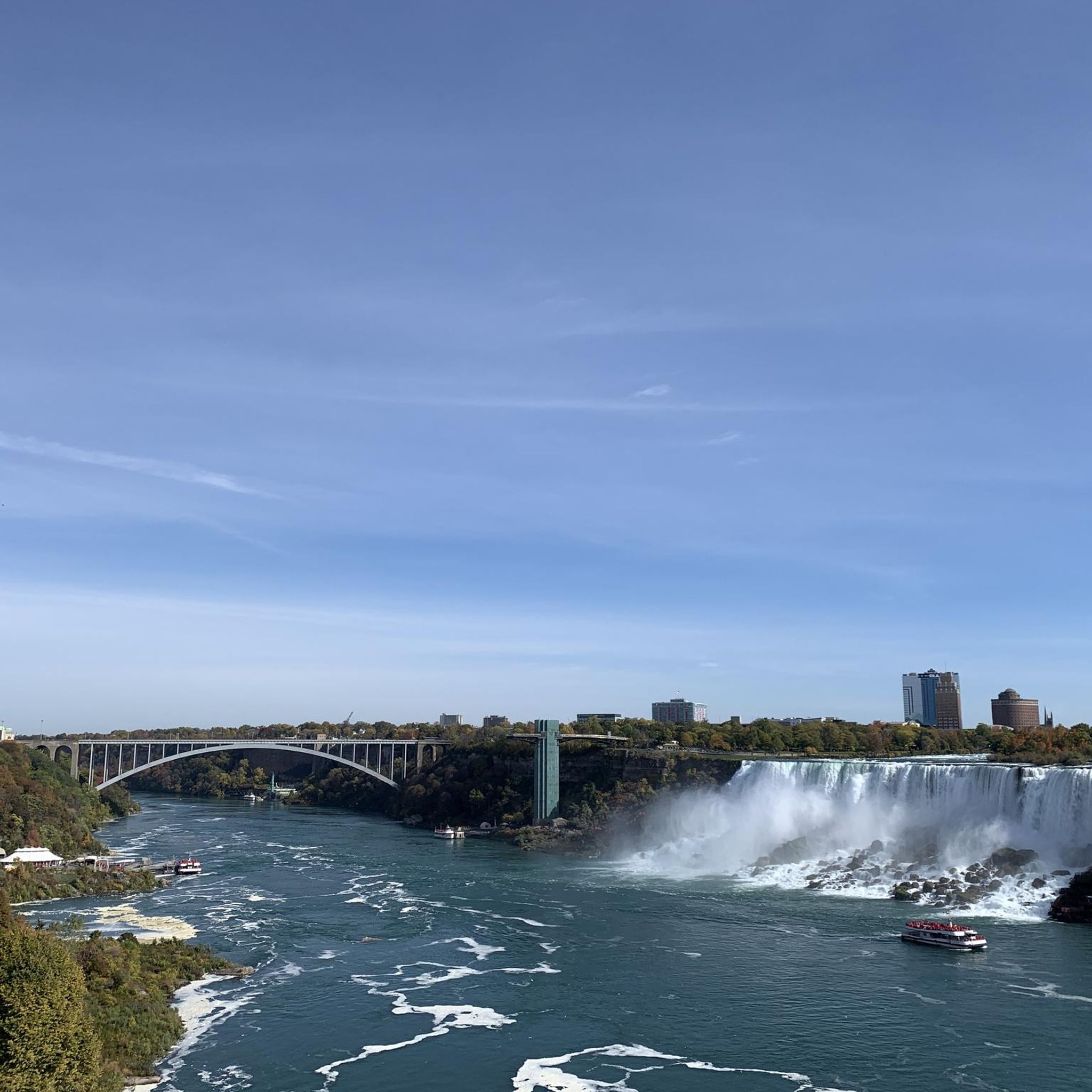
Beautiful old bridge, usually very crowded with border crossers. This is where the US ends and Canada begins!
2
0
Nice marina with small snack bars and seating areas.
0
0
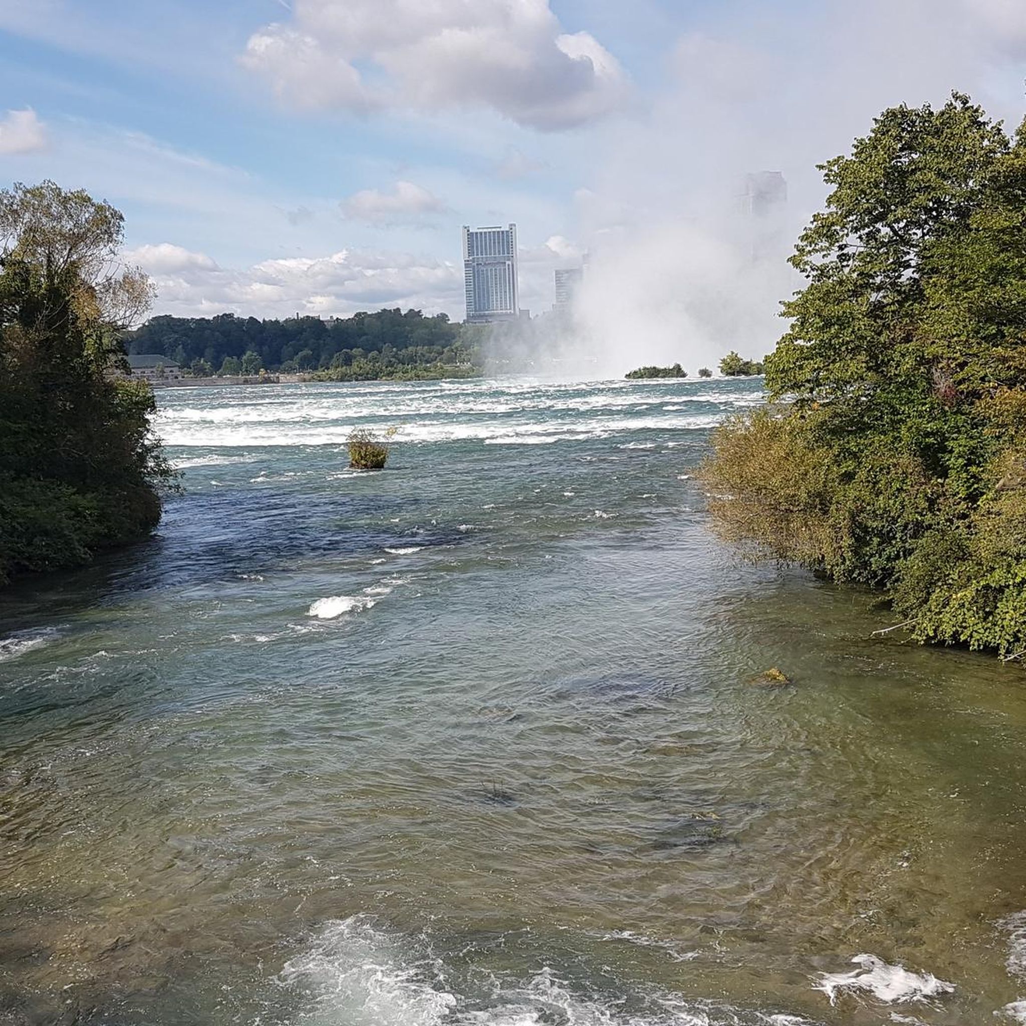
A breathtaking view of the lake...
3
0
Buffalo is a city in the U.S. state of New York on the shores of Lake Erie. Its past as an industrial center in the early 20th century is still evident in its magnificent Neo-Classical, Beaux-Arts, and Art Deco architecture. Buffalo's notable landmarks include the 121-meter-tall City Hall, the Darwin D. Martin House designed by Frank Lloyd Wright, and the Greek Revival-style Albright-Knox Art Gallery, which houses works by Picasso and Warhol.
3
0

This day use parking lot is a great place to jump on the Mohawk Hudson Trail. There's usually plenty of parking available & offers picnic tables with a view of the Hudson River.
0
0

Has parking there and a good view of people boating during the spring and summer.
0
0
Frequently Asked Questions
How many hiking trails are available in Fort Erie?
Fort Erie offers a diverse network of over 20 hiking routes. These range from easy, paved paths to more rugged trails through natural areas, catering to various preferences and skill levels.
What kind of terrain can I expect on Fort Erie's hiking trails?
The terrain in Fort Erie is quite varied. You'll find mostly flat paths along the Lake Erie shoreline, low sand hills, and a limestone ridge. Many trails wind through wooded areas, wetlands, and open meadows, with some built on abandoned rail lines offering smooth, level surfaces.
Are there easy hiking trails suitable for beginners or casual walkers in Fort Erie?
Yes, Fort Erie has many easy trails. Out of the 24 available routes, 15 are classified as easy. For instance, the Jesse Kregal Pathway offers a pleasant, accessible walk. The Fuhrmann Boulevard Sidepath is another easy option providing waterfront views.
Are Fort Erie's hiking trails suitable for families with children?
Absolutely. Many trails in Fort Erie are well-suited for families. The Friendship Recreation Trail, for example, is a multi-use path that is largely level and smooth, making it accessible for all ages. Similarly, the Shagbark Nature Trail is described as level and well-maintained, perfect for family outings.
Can I bring my dog on the hiking trails in Fort Erie?
While specific regulations can vary by trail, many multi-use paths and natural areas in Fort Erie are generally dog-friendly, provided dogs are kept on a leash and owners clean up after them. Always check local signage or conservation area rules for specific restrictions.
Are there any circular hiking routes in Fort Erie?
Yes, you can find circular routes in Fort Erie. The Hoyt Lake loop is a popular example, offering a peaceful experience around the lake. Many trails also connect to form larger loops within the extensive Greater Niagara Circle Route system.
What natural features or landmarks can I see along the hiking trails?
Fort Erie's trails offer access to diverse natural features and landmarks. You can explore the shores of Lake Erie, the Niagara River, and various wetlands. Notable attractions include the historic Old Fort Erie, accessible via the Friendship Trail, and the architectural marvel of the Point Abino Lighthouse. You might also encounter highlights like Wilkeson Point or Hoyt Lake.
What is the best time of year to hike in Fort Erie?
Fort Erie is a great destination for hiking year-round. While spring and fall offer pleasant temperatures and vibrant scenery, the multi-use paths like the Friendship Trail are also suitable for activities like cross-country skiing in winter. Summer provides opportunities to combine hikes with visits to the beautiful freshwater beaches.
Are there any challenging hikes in Fort Erie for experienced hikers?
While many trails are easy to moderate, Fort Erie does offer some longer, more challenging options. For instance, the Erie Canalway Trail: Buffalo to Albany, though a very long-distance route, has sections that can be hiked for a more demanding experience. There are 2 routes classified as difficult within the region.
What do other hikers enjoy most about hiking in Fort Erie?
The area is highly rated by the komoot community, with an average score of 3.75 stars from over 7 reviews. Hikers often praise the diverse landscapes, from serene lake loops to scenic waterfront paths, and the accessibility of many trails for various activity levels.
Are there opportunities for long-distance hiking or connecting to larger trail networks?
Yes, Fort Erie is a key part of larger trail systems. The Friendship Trail serves as a southerly link of the Greater Niagara Circle Route, which encompasses over 140 kilometers of trails. It also connects to the Lake Ontario Waterfront Trail and, ultimately, the Trans-Canada Trail, offering extensive long-distance possibilities.
Are there any trails that offer interpretive signage about local nature or history?
Yes, the Shagbark Nature Trail in Shagbark Nature Park features interpretive signage. These signs highlight the diverse character of the park, its geology, and the local wildlife, including various woodland birds and butterflies, enhancing the educational aspect of your hike.
Most popular routes around Fort Erie
Most popular attractions around Fort Erie

Get inspired with the komoot mobile app


Explore more
Browse the best Hikes in other regions.
