The best MTB trails around Lakea do Fogo
3.6
(5)
31
riders
8
rides
Mountain bike trails around Lakea do Fogo are set within a volcanic caldera on São Miguel Island in the Azores, offering a challenging and scenic environment. The region features a crater lake, lush endemic vegetation, and dramatic volcanic walls. Mountain biking routes here often include steep ascents and technical descents, traversing diverse landscapes from forested areas to panoramic viewpoints.
Best mountain bike trails around Lakea do Fogo
- The most popular mountain bike trail is Historic Water Pipeline Trail – Grota Tunnel loop from Água de Pau, a 11.0 miles (17.7 km) difficult trail that takes 2 hours 15 minutes to complete. This route features significant elevation gain and technical sections through varied terrain.
- Another top favourite among local mountain bikers is Ribeira Grande Beachfront – Miradouro da Costa Norte loop from Ribeira Grande, a moderate 13.0 miles (20.9 km) path. This route offers coastal views and diverse landscapes, often ridden in about 1 hour 47 minutes.
- Local mountain bikers also love the Castle Viewpoint – Ribeira Grande Beachfront loop from Ribeira Grande, a 26.5 miles (42.6 km) trail leading through coastal areas and varied terrain, often completed in about 3 hours 24 minutes.
- Mountain biking around Lakea do Fogo is defined by volcanic caldera landscapes, lush endemic vegetation, and panoramic ocean views. The network offers options for different ability levels, including moderate and difficult routes.
- The routes in Lakea do Fogo are highly rated by the komoot community with an average score of 3.8 stars from a few reviews. More than dozens of mountain bikers have used komoot to explore Lakea do Fogo's varied terrain.
Last updated: October 8, 2026
22.8km
01:39
370m
370m
Moderate mountain bike ride. Good fitness required. Suitable for all skill levels.
17.7km
02:15
880m
880m
Hard mountain bike ride. Good fitness required. Advanced riding skills necessary. Some portions of the route may require you to push your bike.

1
riders
15.6km
01:45
710m
710m
Moderate mountain bike ride. Good fitness required. Advanced riding skills necessary.
4.0
(1)
11
riders
Moderate mountain bike ride. Good fitness required. Suitable for all skill levels.
4.7
(3)
12
riders
43.1km
03:27
760m
760m
Moderate mountain bike ride. Good fitness required. Suitable for all skill levels.
Get access to more routes and recommendations from other explorers.
Already have an account?
Our route recommendations are based on thousands of hikes, rides, and runs completed by other people on komoot.
Start today with a free account
Your next adventure awaits.
Tips from the Community

The Dos Remédios picnic area is idyllically situated in the hilly hinterland of the Azores and offers a wonderfully peaceful atmosphere. Between tall trees and lush greenery, you will find covered tables, barbecue areas, and plenty of space to relax. An ideal spot for a break in the middle of nature – perfect for switching off for a while and enjoying the typical Azores landscape.
0
0

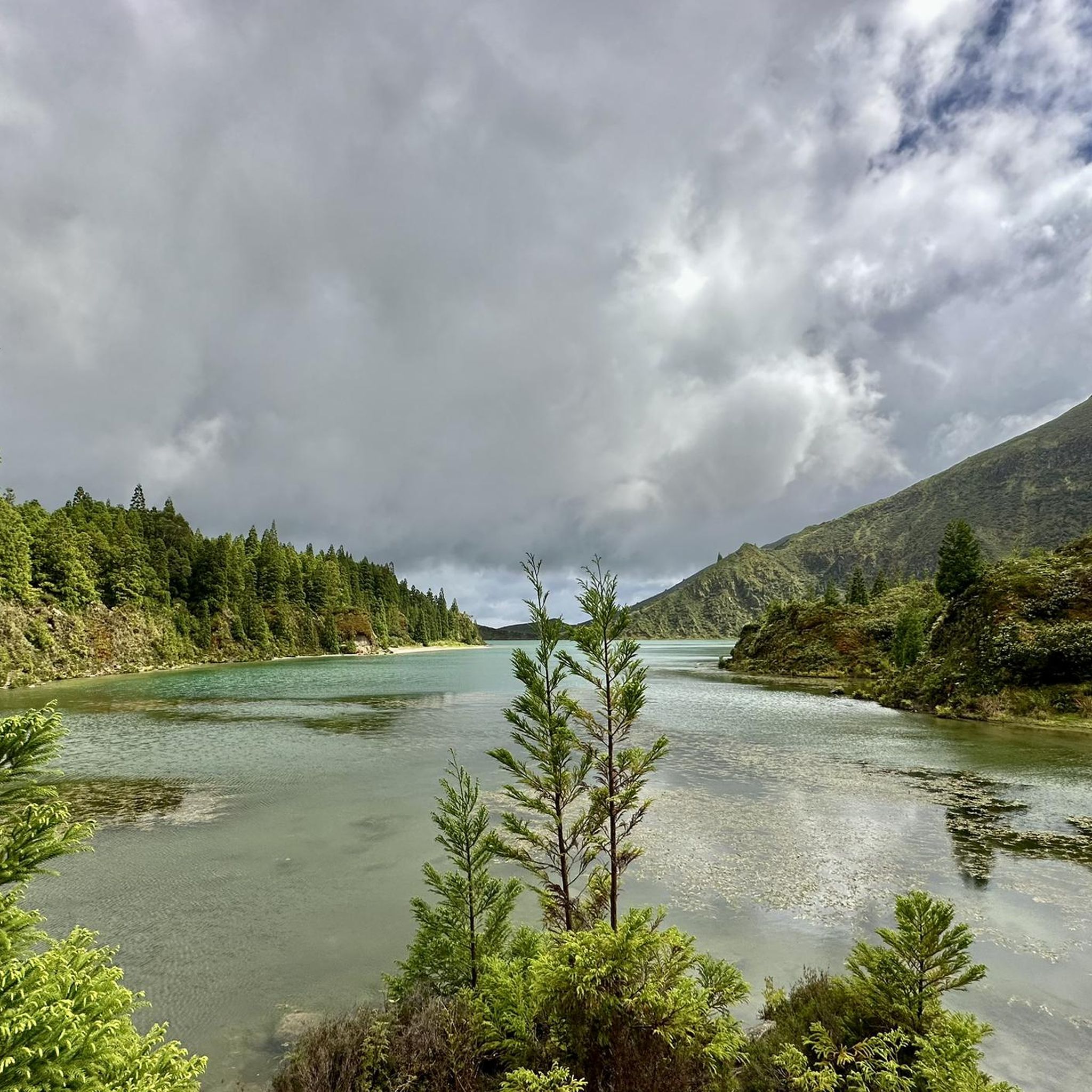
From Pico do Barrosa, you'll have arguably one of the most beautiful views. Not only of Lagoa do Fogo, but also of much of the island. The short, steep climb is well worth it. The road is only partially accessible during peak travel season. So either leave early or use the shuttle bus system.
2
0


I don't really believe the 150 cm. The tunnel is very low in the middle. But you can go through it even if you're 190 cm tall.
1
0
The pipes clearly indicate that the water was used to generate energy.
1
0

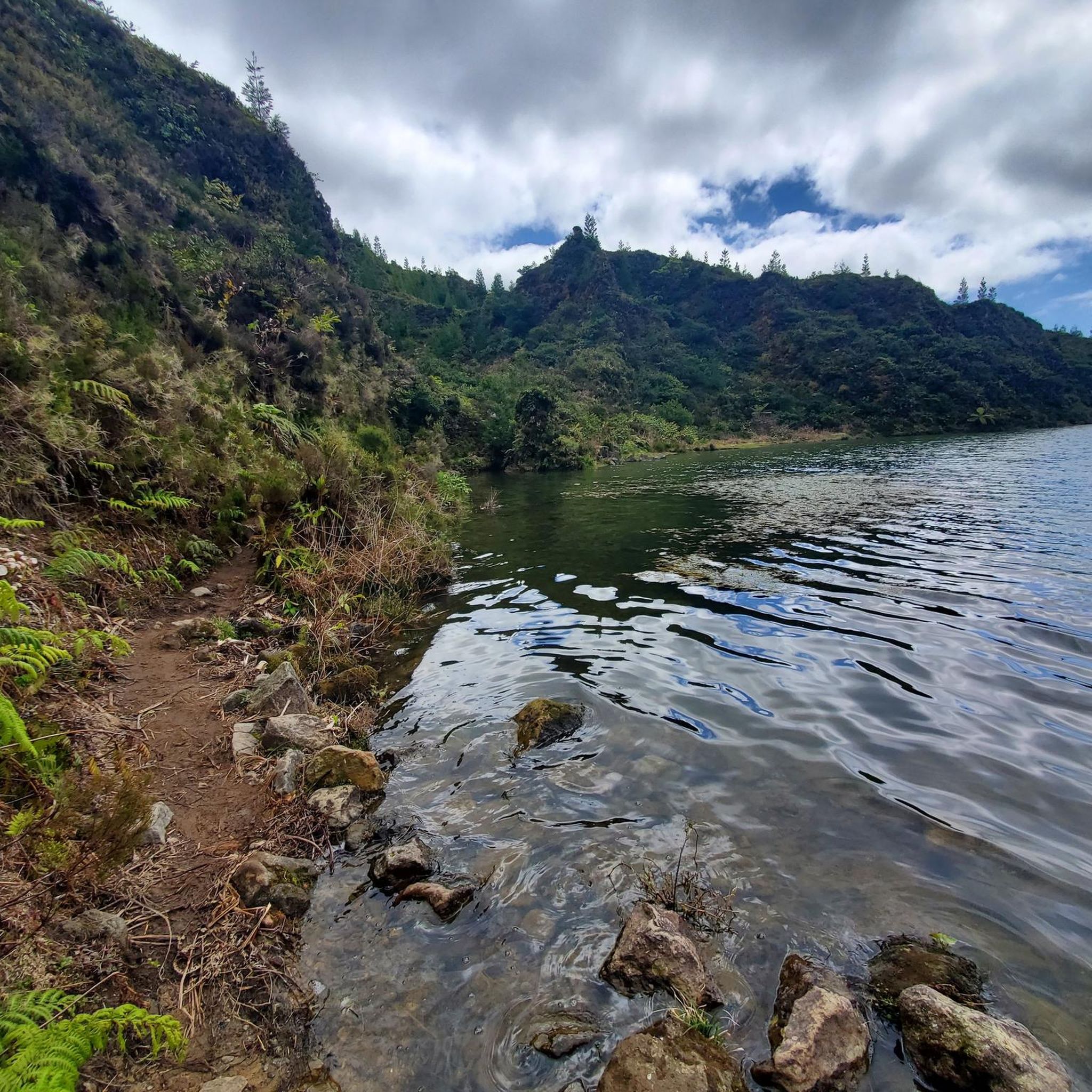
It is very beautiful here.
0
0
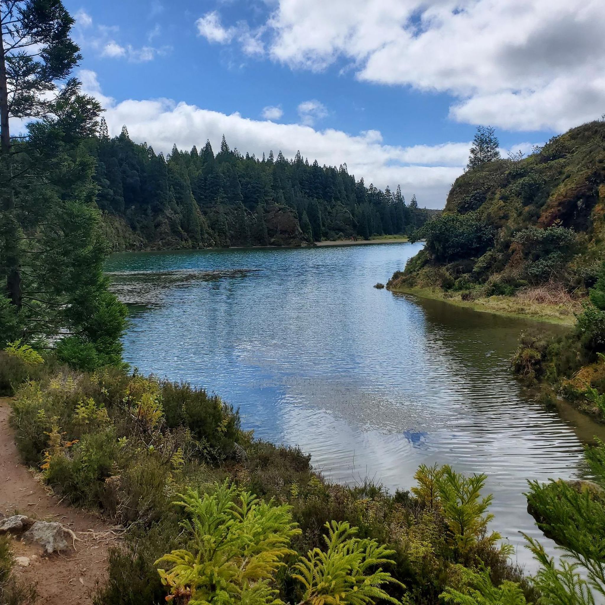
It is very beautiful here.
0
0
Frequently Asked Questions
What kind of terrain can I expect on mountain bike trails around Lagoa do Fogo?
The terrain around Lagoa do Fogo is characterized by its unique volcanic landscape. You'll encounter diverse surfaces, including soft but rocky climbs, technical descents, and sections through lush natural woodland. Trails often feature steep ascents, with some reaching an average of 9% grade, and even steeper hairpin bends, demanding good physical condition and appropriate mountain gearing.
Are there mountain bike trails suitable for beginners or families in Lagoa do Fogo?
While many trails around Lagoa do Fogo are moderate to difficult, offering challenging experiences, there are no specifically designated easy trails for beginners or families listed in the guide data. The region's volcanic terrain generally presents a more demanding environment for mountain biking.
What are the typical difficulty levels for mountain bike routes in the Lagoa do Fogo area?
Mountain bike routes around Lagoa do Fogo are primarily categorized as moderate or difficult. The guide data indicates 6 moderate and 2 difficult routes. These trails often involve significant elevation changes and technical sections, making them suitable for experienced riders.
What are some notable viewpoints or natural features to see while mountain biking near Lagoa do Fogo?
The Lagoa do Fogo area offers breathtaking panoramic views. Viewpoints such as Miradouro da Barrosa and Miradouro da Lagoa do Fogo provide stunning vistas of the lake, the surrounding greenery, and the Atlantic Ocean. The lake itself, nestled within a volcanic caldera, features crystal-clear waters and a unique pumice beach. The area is also a protected nature reserve with rich endemic flora, including ancient Laurel Forest representatives.
Are there any circular mountain bike routes available around Lagoa do Fogo?
Yes, several routes in the area are circular. For example, the Historic Water Pipeline Trail – Grota Tunnel loop from Água de Pau is a difficult 11.0-mile (17.7 km) loop. Another option is the moderate Ribeira Grande Beachfront – Miradouro da Costa Norte loop from Ribeira Grande, covering 13.0 miles (20.9 km).
What is the best time of year to go mountain biking in Lagoa do Fogo?
The Azores generally have a mild climate year-round, but for mountain biking, it's advisable to consider the weather conditions. While specific seasonal recommendations aren't provided, the region's trails can be challenging, and clear weather will enhance the experience and safety, especially on technical descents. Always check local forecasts before heading out.
Are there any access restrictions or permits required for mountain biking in the Lagoa do Fogo nature reserve?
Lagoa do Fogo is a protected nature reserve, classified as a Ramsar Site and a Special Area of Conservation. While mountain biking is permitted on designated trails, it's always wise to check for any specific access restrictions or permit requirements, especially for certain areas within the reserve. For detailed information on protected areas, you can consult the official Azores government website: azores.gov.pt.
What do other mountain bikers say about the trails around Lagoa do Fogo?
The mountain bike routes in the Lagoa do Fogo area are highly rated by the komoot community, with an average score of 3.8 stars from several reviews. Riders often praise the incredible views of the island and the Atlantic Ocean, the beautiful green landscapes, and the challenging yet rewarding nature of the trails.
How long do mountain bike trails typically take to complete in Lagoa do Fogo?
The duration varies significantly depending on the trail's length and difficulty. For instance, the difficult Historic Water Pipeline Trail – Grota Tunnel loop from Água de Pau, which is 11.0 miles (17.7 km), typically takes around 2 hours 15 minutes. A longer moderate route like the Castle Viewpoint – Ribeira Grande Beachfront loop from Ribeira Grande, at 26.5 miles (42.6 km), can take about 3 hours 24 minutes.
Can I find amenities like cafes or restaurants near the mountain bike trails in Lagoa do Fogo?
While Lagoa do Fogo itself is a pristine nature reserve, towns and villages surrounding the area, such as Água de Pau and Ribeira Grande, offer various amenities including cafes and restaurants. Many trails start or pass near these settlements, providing opportunities for refreshments before or after your ride.
Are there any specific challenging routes for advanced mountain bikers in Lagoa do Fogo?
Yes, advanced mountain bikers will find challenging routes. The area features trails with steep ascents, technical descents, and significant elevation gains. The Historic Water Pipeline Trail – Grota Tunnel loop from Água de Pau and the Miradouro da Costa Norte – Chá Porto Formoso Tea Factory loop from Azores are both rated as difficult and offer demanding experiences for expert riders.
What kind of elevation gain should I expect on mountain bike trails around Lagoa do Fogo?
Mountain bike trails in the Lagoa do Fogo area often feature significant elevation changes due to the volcanic landscape. For example, the difficult Historic Water Pipeline Trail – Grota Tunnel loop from Água de Pau has an elevation gain of approximately 885 meters. Even moderate routes like the Castle Viewpoint – Ribeira Grande Beachfront loop from Ribeira Grande can involve around 750 meters of ascent.
Most popular routes around Lakea do Fogo

Get inspired with the komoot mobile app


Explore more
Browse the best MTB trails in other regions.
