The best running trails around Adjala-Tosorontio
81
runners
10
runs
Jogging around Adjala-Tosorontio offers varied terrain across its rural landscape, characterized by rolling countryside and agricultural areas. The region is situated below the Niagara Escarpment, providing opportunities for routes with gentle inclines and more challenging hills. The Nottawasaga River also flows through the area, suggesting potential for scenic paths along its banks. This topography creates diverse running experiences for different fitness levels.
Best jogging routes around Adjala-Tosorontio
- The most popular jogging route is Dave's Pinnacle loop from Hockley Valley Provincial…
Last updated: October 15, 2026
12
runners
Hard run. Very good fitness required. Mostly paved surfaces. Suitable for all skill levels.
15
runners
14.2km
01:49
270m
270m
Moderate run. Good fitness required. Mostly paved surfaces. Suitable for all skill levels.

15
runners
Moderate run. Good fitness required. Mostly paved surfaces. Suitable for all skill levels.
7
runners
Moderate run. Good fitness required. Mostly accessible paths. Some sure footedness required.
10
runners
Moderate run. Good fitness required. Mostly paved surfaces. Suitable for all skill levels.
Get access to more routes and recommendations from other explorers.
Already have an account?
Our route recommendations are based on thousands of hikes, rides, and runs completed by other people on komoot.
Start today with a free account
Your next adventure awaits.
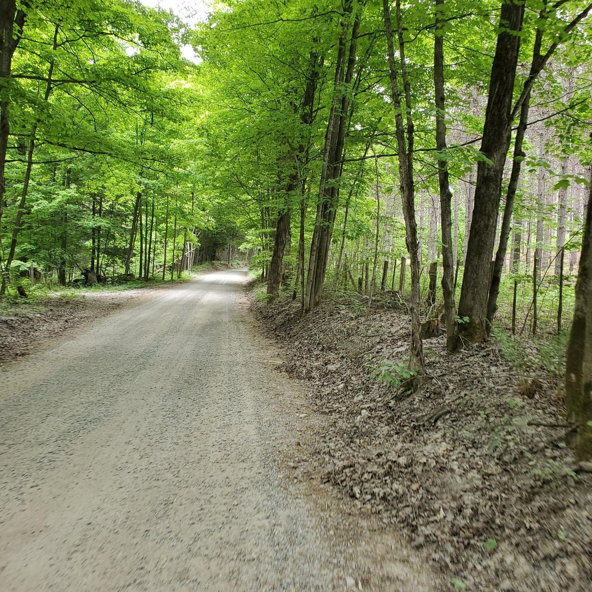
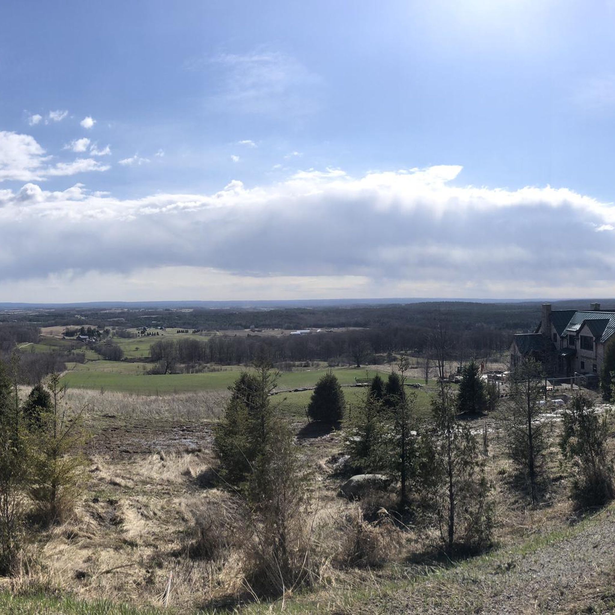
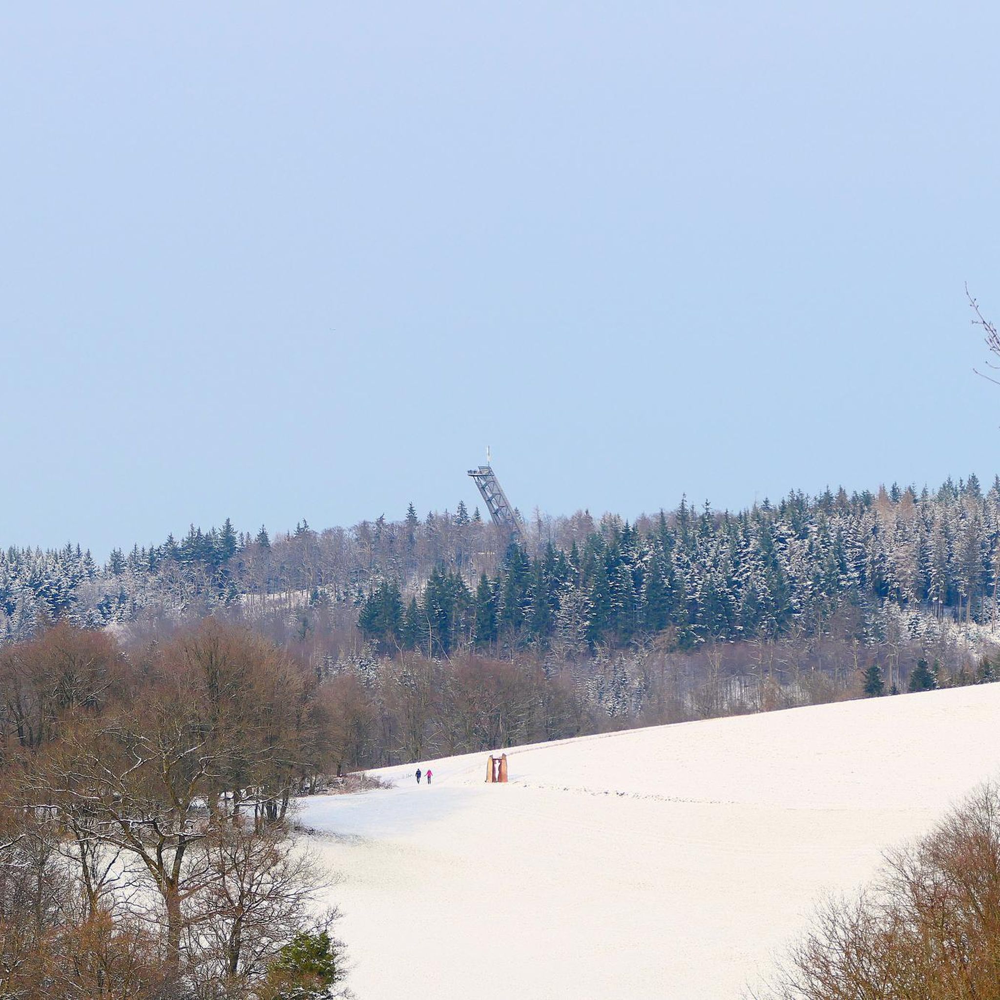
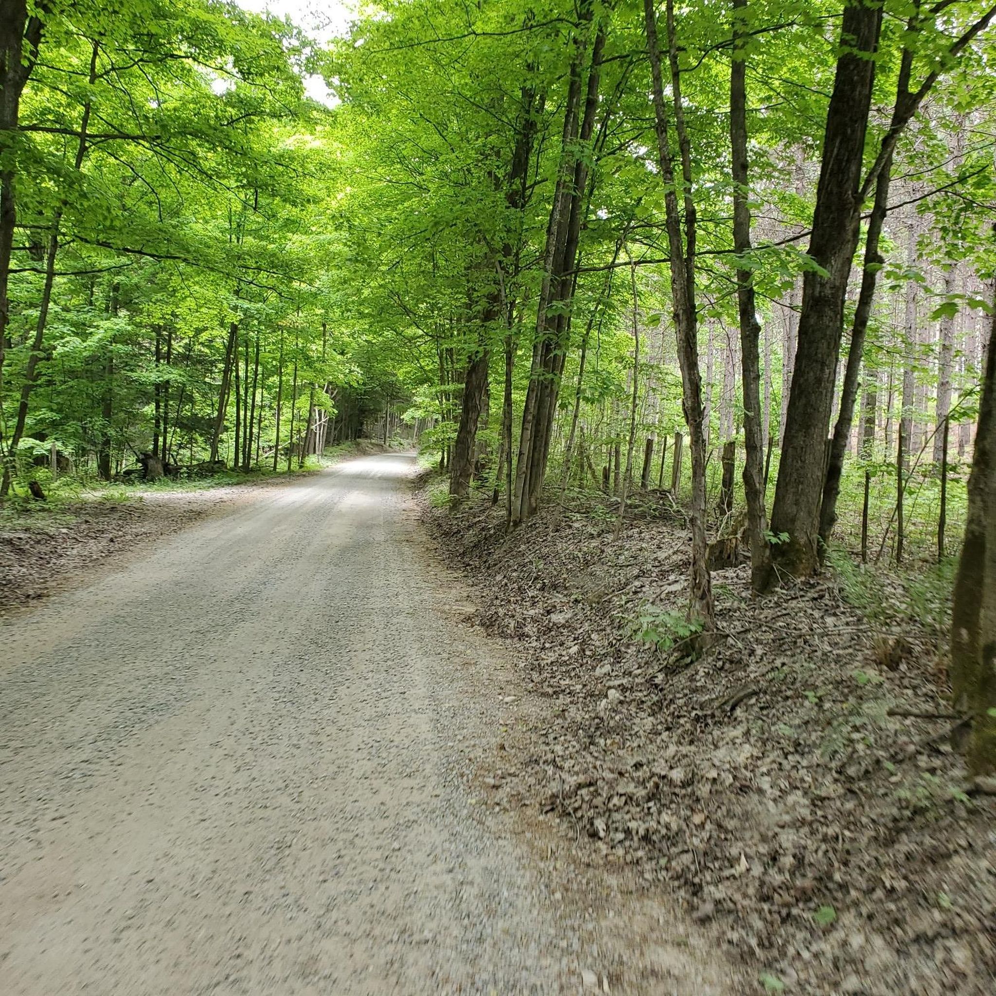
Tips from the Community

It's decision time! If you're section-hiking the Bruce Trail, you'll want to continue either west or north. In the latter case, the trail crosses 4th Line EHS and continues onward. Or, you can turn south or west, depending on which of those two directions you're coming from, to turn your hike into a loop.
0
0
A small roadside parking area here, just off 4th Line EHS, offers access to the Peter Beecham side trail and the Bruce Trail beyond.
0
0

The park functions primarily as an outdoor display of a significant collection of historic military tanks and artillery, with flat walking pathways. Respect posted base boundaries while exploring the historical military collection.
0
0
The terrain consists of flat to gently rolling forest paths featuring sandy and rocky sections, in some parts. Navigating the pine-lined trail connects you to historical World War I training trenches.
0
0

The park is a popular for hiking, biking, skiing, disc golf, and has a pool that is open seasonally. There are many spots to camp, and you have access to miles of forested trails past scenic ponds and open picnic areas. There is an $8.30 fee for day use as of early 2026.
0
0
Here you can find a combination of gravel roads and singletrack mountain biking trails in the northwest area of the park. You can drive in along Duffy Road, where there is a trailhead by the gate, or park down by the pool and hike north past the picnic areas.
0
0

The Sheldon J. Anderson Forest, also known as the Anderson Tract, is a beautiful woodland and can be explored at all times of the year. In fall the trees turn orange, yellow, and red, and in winter the area is popular for winter hiking, cross-country skiing, and snowshoeing. Summer is the warmest time to visit, of course, and the most lush. Among the thick forest, there is also a cluster of sand dunes.
0
0
Hockley Heights Side Trail is open to hiking, but not biking. It is a side trail of the Bruce Trail and connects to other trails in the Sheldon J. Anderson Forest. The rolling hills the Hockley Heights Side Trail passes over create descents and climbs that will get your heart rate up but are not too strenuous. Most of the trail is in thick forest, creating plenty of cool shade.
0
0
Frequently Asked Questions
How many running routes are available in Adjala-Tosorontio?
There are over 10 dedicated running routes around Adjala-Tosorontio, offering a variety of distances and terrains for different preferences.
What kind of terrain can I expect on the jogging trails in Adjala-Tosorontio?
The region is characterized by its rolling countryside and proximity to the Niagara Escarpment, meaning you'll find a mix of gentle inclines and more challenging hills. The Nottawasaga River also flows through the area, offering potential for scenic paths along its banks. The name 'Tosorontio' itself means 'Beautiful Mountain', hinting at the elevated and scenic aspects of the area.
Are there running routes suitable for different fitness levels?
Yes, while many routes are considered moderate, there are also several challenging options for experienced runners. For example, Dave's Pinnacle loop from Hockley Valley Provincial Park is a difficult 15-mile trail with significant elevation gain, while Earl Rowe Lake loop from Earl Rowe Provincial Park offers a moderate 6.4-mile run with less elevation.
Are there any circular running routes in the area?
Many of the popular running routes in Adjala-Tosorontio are circular, allowing you to start and finish at the same point. Examples include the Running loop from Hockley Valley Provincial Park and the Lookout Point – Mono Cliffs Provincial Park loop.
What are some notable landmarks or viewpoints I might encounter on a run?
You can find several interesting points of interest. The Lookout Point – Mono Cliffs Provincial Park loop leads through cliff formations and offers scenic viewpoints. The Hockley Valley Lookout is also a prominent feature in the region, known for its views. You might also pass by the Canyon Boardwalk in Mono Cliffs Provincial Park.
Are there any running trails that are particularly scenic or offer unique natural features?
Absolutely. The region's landscape, situated below the Niagara Escarpment, provides diverse natural beauty. The Lookout Point – Mono Cliffs Provincial Park loop is known for its cliff formations. Portions of the famous Bruce Trail also run nearby, offering extensive opportunities for trail running amidst diverse natural settings.
Are there any provincial parks with running opportunities in Adjala-Tosorontio?
Yes, Earl Rowe Provincial Park is a prominent attraction with paths suitable for jogging, such as the Earl Rowe Lake loop. Hockley Valley Provincial Park also serves as a starting point for several popular routes, including Running loop from Hockley Valley Provincial Park.
What makes Adjala-Tosorontio a good place for outdoor activities like jogging?
Adjala-Tosorontio offers a picturesque and varied rural landscape with strong agricultural roots. The emphasis on a 'premier quality of life' and 'connecting to nature' highlights its suitability for outdoor activities. The rolling countryside, Niagara Escarpment, and the Nottawasaga River provide a diverse and scenic backdrop for runners.
Can I find trails that are suitable for a longer, more challenging run?
For those seeking a longer and more challenging experience, the Dave's Pinnacle loop from Hockley Valley Provincial Park is an excellent choice. This difficult 15-mile (24.2 km) trail features significant elevation gain and takes over 3 hours to complete, offering a rewarding workout.
Are there any running routes near Albion Hills Conservation Area?
Yes, you can find a moderate 5.2-mile (8.4 km) Running loop from Albion Hills Conservation Area, which offers varied terrain within a conservation area setting.
What do other runners say about jogging in Adjala-Tosorontio?
Over 100 runners have used komoot to explore Adjala-Tosorontio's varied terrain, often praising the diverse landscapes, from rolling countryside to challenging hills, and the opportunities to connect with nature in this rural setting.
Most popular attractions around Adjala-Tosorontio

Get inspired with the komoot mobile app


Explore more
Browse the best Running Trails & Routes in other regions.
