The best road cycling routes around Oshawa
4.0
(9)
332
riders
14
rides
Road cycling around Oshawa features a diverse landscape, including the Lake Ontario shoreline, extensive creek valleys, and urban green spaces. The city offers a well-connected network of paved trails and shared roadways. These routes traverse natural areas, waterfront parks, and provide connections to broader regional cycling networks. The terrain generally includes flat sections along the lake and gentle inclines through the creek valleys.
Best road cycling routes around Oshawa
- The most popular road cycling route is Whitby Harbour Lighthouse – Paradise Beach loop from Oshawa, a 31.7 miles (51.0 km) trail that takes 2 hours 10 minutes to complete. This moderate route offers continuous lake views along the waterfront.
- Another top favourite among local road cyclists is Paradise Beach – Whitby Harbour Marina loop from Oshawa, a moderate 22.4 miles (36.1 km) path. This route follows the Lake Ontario shoreline, providing scenic vistas and connecting various parks.
- Local road cyclists also love the Port Union Waterfront Park – View from Waterfront Trail loop from Oshawa, an 81.2 miles (130.6 km) trail leading through the Lake Ontario waterfront, often completed in about 5 hours 36 minutes.
- Road cycling around Oshawa is defined by its Lake Ontario waterfront, scenic creek valleys, and urban green spaces. The network offers options for various ability levels, from easy paved paths to longer, more challenging routes.
- The routes in Oshawa are highly rated by the komoot community with an average score of 3.75 stars from more than 10 reviews. More than 290 road cyclists have used komoot to explore Oshawa's varied terrain.
Last updated: October 21, 2026
4.0
(4)
78
riders
48.6km
02:07
180m
180m
Moderate road ride. Good fitness required. Some segments of this route may be unpaved and difficult to ride.
5.0
(2)
78
riders
49.3km
02:01
190m
190m
Moderate road ride. Good fitness required. Some segments of this route may be unpaved and difficult to ride.

3.0
(1)
47
riders
36.2km
01:40
130m
130m
Moderate road ride. Great for any fitness level. Some segments of this route may be unpaved and difficult to ride.
33
riders
126km
05:20
690m
690m
Hard road ride. Very good fitness required. Some segments of this route may be unpaved and difficult to ride.
29
riders
Moderate road ride. Great for any fitness level. Some segments of this route may be unpaved and difficult to ride.
Get access to more routes and recommendations from other explorers.
Already have an account?
Our route recommendations are based on thousands of hikes, rides, and runs completed by other people on komoot.
Start today with a free account
Your next adventure awaits.
Tips from the Community

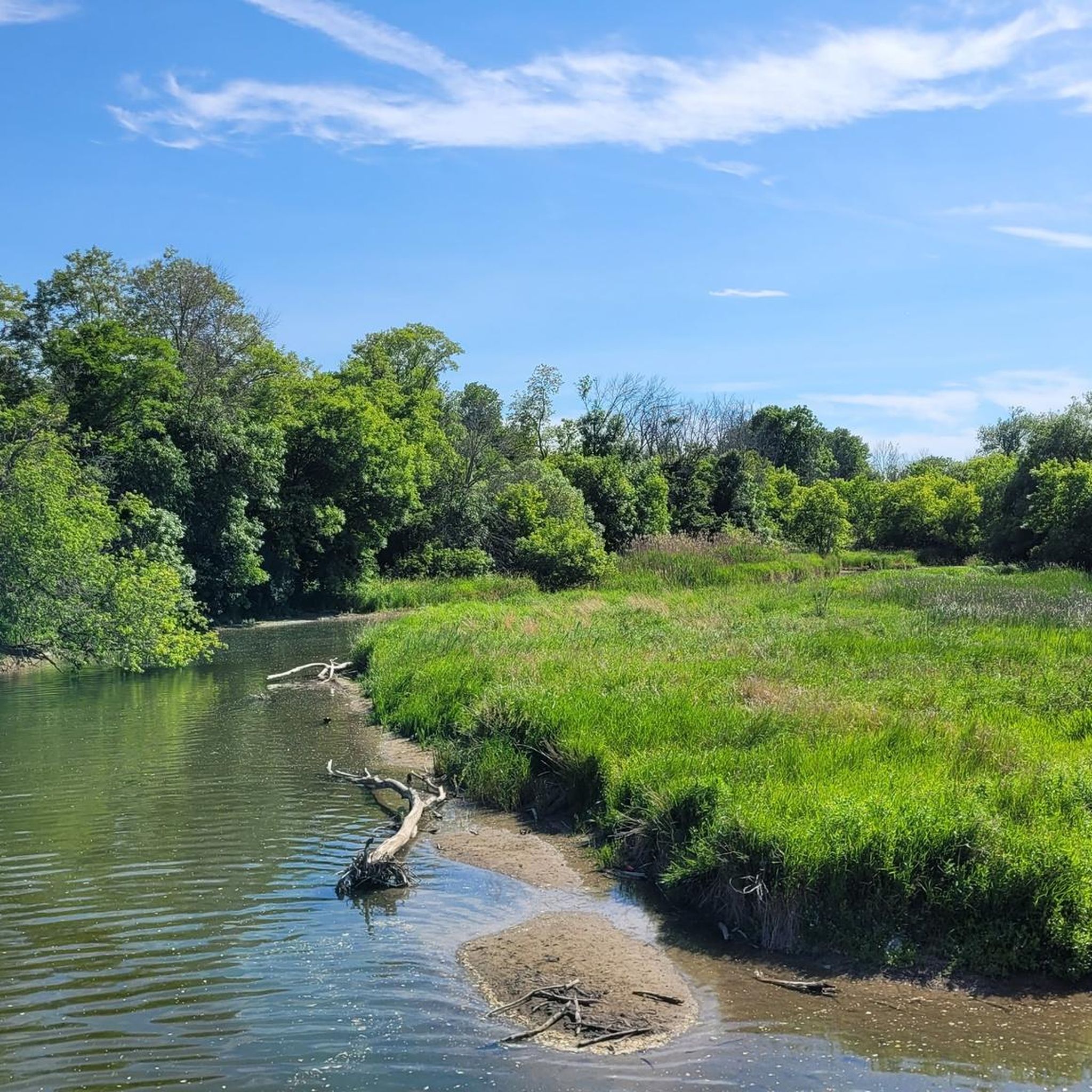
Port Union Waterfront Park stretches between the mouths of Highland Creek and West Rouge River / Adam’s Creek into Lake Ontario for a length of approx. 2.5 kilometers. Construction work is taking place on the lakeshore until an expected end date of December 2026; however, the Waterfront Trail remains accessible. Visit on September 28, 2026 https://www.waterfrontoronto.ca/our-projects/port-union-waterfront-park
0
0
The paved Waterfront Trail runs through East Point Park, after crossing the bridge over Highland Creek, in sections directly along the lakeshore. This provides a good view over Lake Ontario. Visit on September 28, 2026
0
0
The Lynde Shores Conservation Area is a conservation area that includes the Lynde Creek Marsh and Cranberry Marsh on Lake Ontario and was established in 1972. Due to its proximity to urban centers, the area receives many visitors throughout the year, including walkers, hikers, and bird lovers. Interestingly, feeding songbirds is permitted here - but only with plant seeds. On a part of the park grounds, extensive interventions are being carried out to restore a natural state. The vegetation has been completely removed from the area southwest of the parking lot, and the terrain has been modeled with two lakes. The fallow landscape leaves a peculiar impression; one can only hope that the project will be successful and visible by 2028. https://www.cloca.com/lynde-shores Visit on June 24, 2026
0
0
Petticoat Creek Conservation Park is a 70-hectare park above the bluffs of Lake Ontario in Pickering. The park was opened in the 1970s and is owned and operated by the Toronto and Region Conservation Authority (TRCA). The Petticoat Creek area has a long Indigenous history, with former settlements of Huron and Irokes peoples and likely a different name in the past. The name "Petticoat" comes from Petite Côte, a term used by French settlers in the 17th century to describe the irregularities of the creek's bank at its mouth. https://trca.ca/parks/petticoat-creek-conservation-area (Visited on June 15, 2026)
0
0

Stretching along Toronto’s eastern waterfront, Port Union Waterfront Park combines shoreline trails, wetlands, and sweeping views across Lake Ontario. As part of the larger Waterfront Trail network, the park includes paved paths, lookouts, bridges, and restored natural habitat where Highland Creek meets Lake Ontario. While you’re here, there are plenty of opportunities to spot birds and enjoy the beautiful views across the water, and it is a popular spot for walking, cycling, and watching the sunset.
0
0
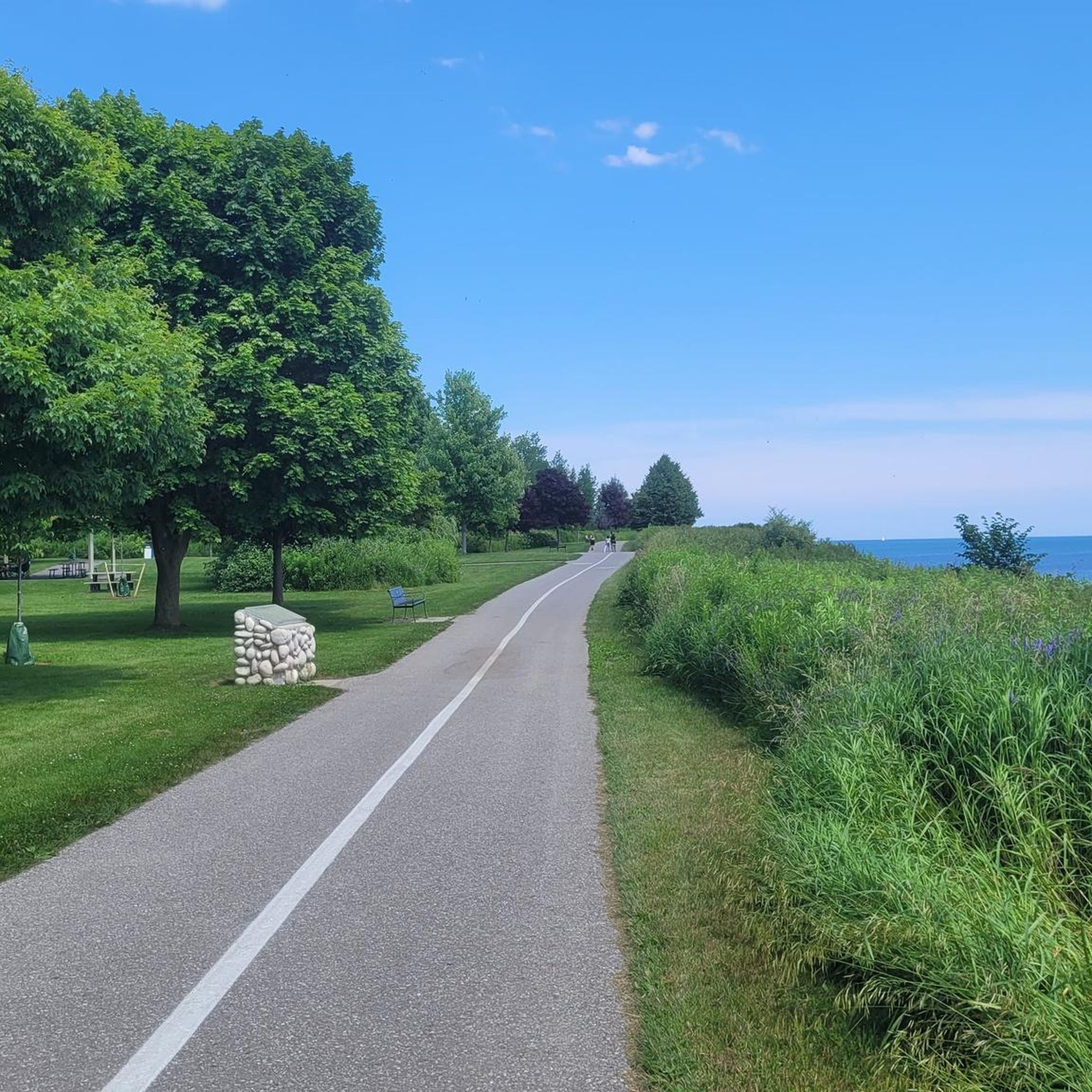
Waterfront Park is a large lakeside greenspace, and is part of Ajax’s six-kilometre waterfront corridor, with open lawns, beaches, wetlands, and picturesque shoreline views. The park is connected by a paved multi-use section of the Waterfront Trail that passes through natural and maintained areas, making it popular for walking, cycling, jogging, birdwatching, and lakeside recreation, and is one of Ajax’s main outdoor gathering places.
0
0
Veterans’ Point Gardens is a beautiful memorial park along the waterfront that honours Canadian veterans through monuments, commemorative features, and interpretive plaques, all set within well-manicured gardens overlooking Lake Ontario. There are open lawns, flower beds and benches with expansive views across the shoreline.
0
0
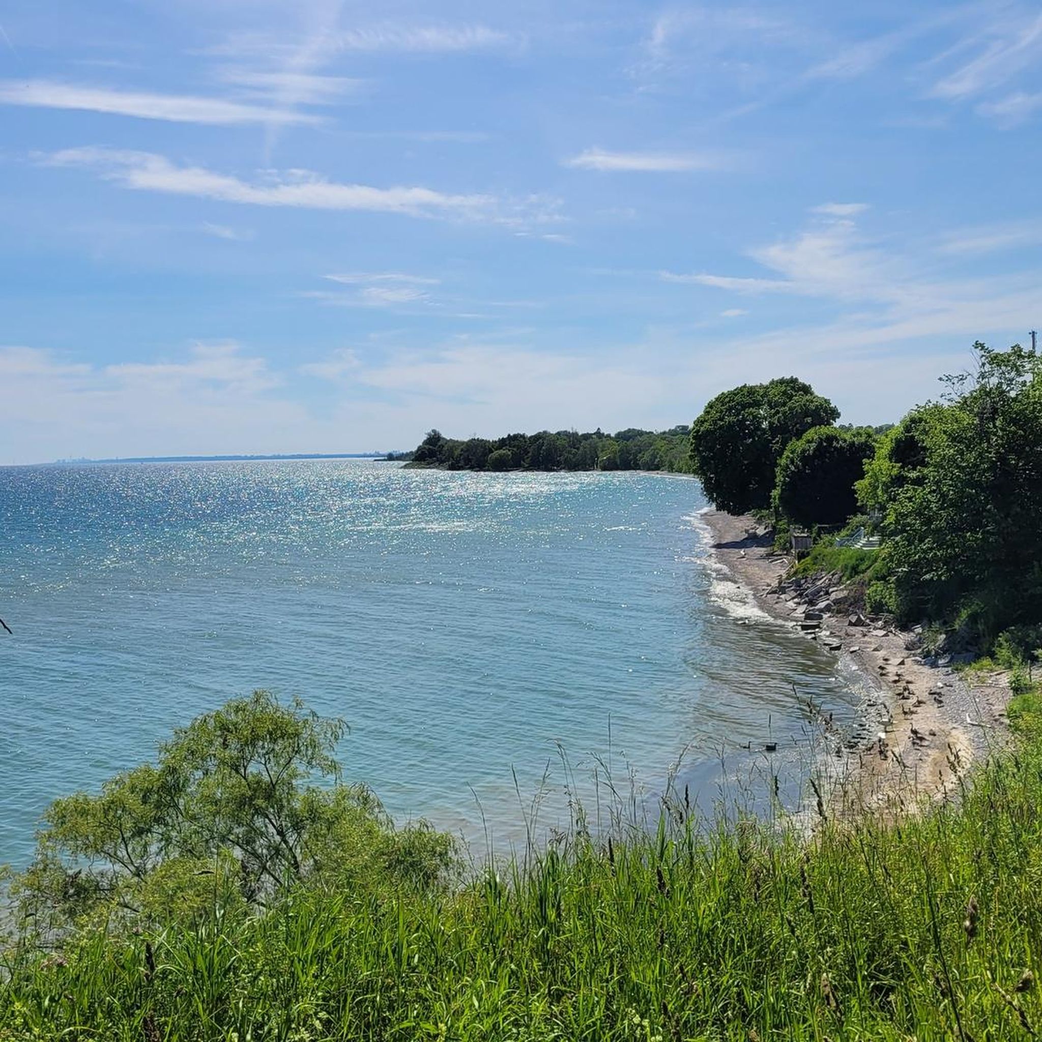
Paradise Beach is a small lakeside spot with beautiful views across Lake Ontario, a sandy shoreline, and easy access to the Waterfront Trail. The beach has a quieter feel than some larger waterfront parks, with picnic areas and space for walking, cycling, and fishing along the lakeshore. It’s an ideal place for a break or lunch, with several benches to relax and stay a while.
0
0
Frequently Asked Questions
What types of road cycling routes can I find in Oshawa?
Oshawa offers a diverse range of road cycling experiences. You'll find extensive paved trails like the Waterfront Trail along Lake Ontario, scenic creek-side paths such as the Joseph Kolodzie Oshawa Creek Bike Path, and routes that venture through agricultural farmlands and charming hamlets in the surrounding Durham Region. The terrain varies from flat sections along the lake to gentle inclines through creek valleys.
Are there road cycling routes suitable for beginners in Oshawa?
Yes, Oshawa has several routes ideal for beginners. Approximately four of the available routes are rated as easy. The Waterfront Trail, with its paved surface and flat profile, is particularly well-suited for those new to road cycling, offering continuous lake views.
What are some scenic natural features to explore while road cycling in Oshawa?
Oshawa's road cycling routes offer access to beautiful natural features. You can cycle along the picturesque Lake Ontario Waterfront, through the ecologically rich McLaughlin Bay Wildlife Reserve and Second Marsh Wildlife Reserve, or wind through the tree-lined Joseph Kolodzie Oshawa Creek valley, where you might spot trout and salmon during migration seasons.
Are there any long-distance road cycling routes starting from Oshawa?
Yes, for those seeking longer rides, Oshawa connects to broader regional networks. One challenging option is the Port Union Waterfront Park – View from Waterfront Trail loop from Oshawa, which spans over 130 kilometers and takes approximately 5 hours and 36 minutes to complete, offering extensive views along the Lake Ontario waterfront.
What do other road cyclists say about the routes in Oshawa?
The road cycling routes in Oshawa are highly rated by the komoot community, with an average score of 3.75 stars from over 10 reviews. Cyclists often praise the scenic lake views, the well-maintained paved paths, and the variety of routes that cater to different skill levels.
Can I find routes that incorporate historical sites or landmarks?
Yes, some routes may pass near points of interest. For example, you might encounter landmarks like the Whitby Harbour Lighthouse or the Camp X Memorial at Intrepid Park, which are part of the broader attractions around Oshawa. The Whitby Harbour Lighthouse – Whitby Harbour Marina loop from Oshawa Assembly is one such route that takes you past the lighthouse.
Are there any loop routes available for road cycling in Oshawa?
Many of Oshawa's road cycling routes are designed as loops, allowing you to start and end in the same location. Examples include the Whitby Harbour Lighthouse – Paradise Beach loop from Oshawa and the Paradise Beach – Whitby Harbour Marina loop from Oshawa, both offering continuous scenic views along the Lake Ontario shoreline.
What is the best time of year for road cycling in Oshawa?
Oshawa's trail system is designed for year-round use, but the most pleasant times for road cycling are typically spring, summer, and fall when the weather is mild. During these seasons, you can fully enjoy the scenic waterfront, lush creek valleys, and urban green spaces.
Are there any challenging road cycling routes for experienced cyclists?
Yes, for experienced cyclists seeking a challenge, there is at least one difficult-rated route available. The Port Union Waterfront Park – View from Waterfront Trail loop from Oshawa is a demanding option, covering a significant distance with notable elevation changes.
Where can I find more information about outdoor activities in Oshawa?
For additional information on outdoor activities and attractions in the region, you can visit the official Oshawa Tourism website: oshawatourism.com.
Are there any routes that offer a mix of urban and natural scenery?
Absolutely. Routes like the Oshawa Urban Loop (mentioned in regional research) utilize both the Joseph Kolodzie Oshawa Creek Bike Path and the Harmony Creek Trail, allowing cyclists to explore the city's green corridors while remaining connected to urban areas. This provides a balanced experience of natural beauty and cityscapes.
How many road cycling routes are available in Oshawa?
There are over 15 road cycling routes available around Oshawa, catering to various skill levels from easy to difficult.
Most popular attractions around Oshawa

Get inspired with the komoot mobile app


Explore more
Browse the best Road cycling routes in other regions.
