Attractions and Places To See around Stikine Region - Top 20
Best attractions and places to see around Stikine Region, located in northwestern British Columbia, Canada, offers a vast and wild territory. The region is characterized by dramatic landscapes, significant Indigenous history, and abundant wildlife. Visitors can explore imposing natural wonders like the Grand Canyon of the Stikine and the Stikine River, alongside cultural sites and wilderness parks. This area provides diverse points of interest for adventurers and those interested in history and nature.
Best attractions and places to see around…
Last updated: October 11, 2026
Bennett
Highlight • Settlement
Tip by

Beaver Dam on Beaver Lodge Trail, Tā Ch’ilā Provincial Park
Highlight • Natural Monument
Translated by Google •
Tip by

Sign up now to discover places like this
Get recommendations on the best single tracks, peaks, & plenty of other exciting outdoor places.
Beaver Lodge Trail
Highlight (Segment) • Trail
Translated by Google •
Tip by
Boya Lake
Highlight • Lake
Translated by Google •
Tip by
Bryant Lake Trail
Highlight (Segment) • Trail
Translated by Google •
Tip by
Sign up for free to discover even more attractions around Stikine Region.
Already have an account?
Start today with a free account
Your next adventure awaits.
Popular around Stikine Region
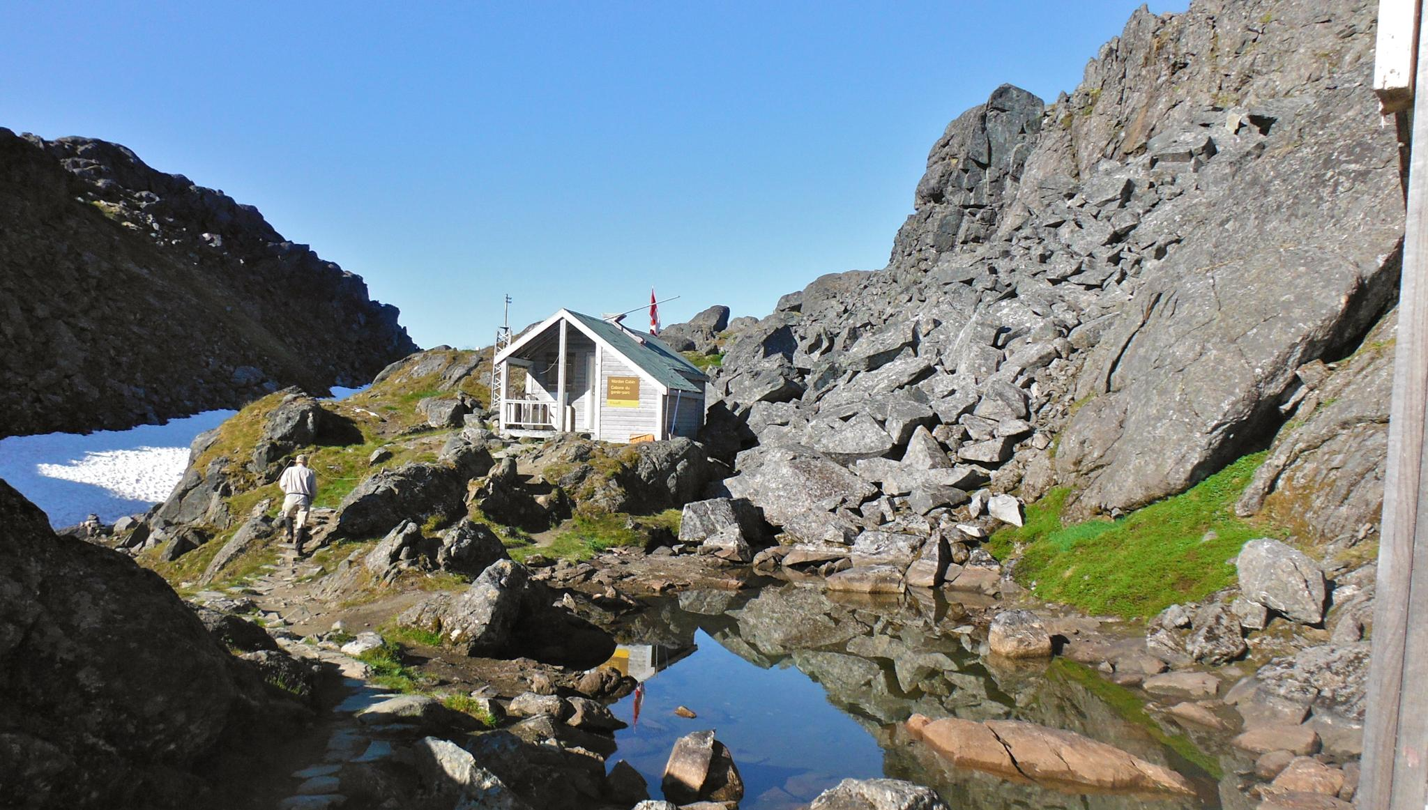
The Chilkoot Trail — Gold Rush history among soaring mountains
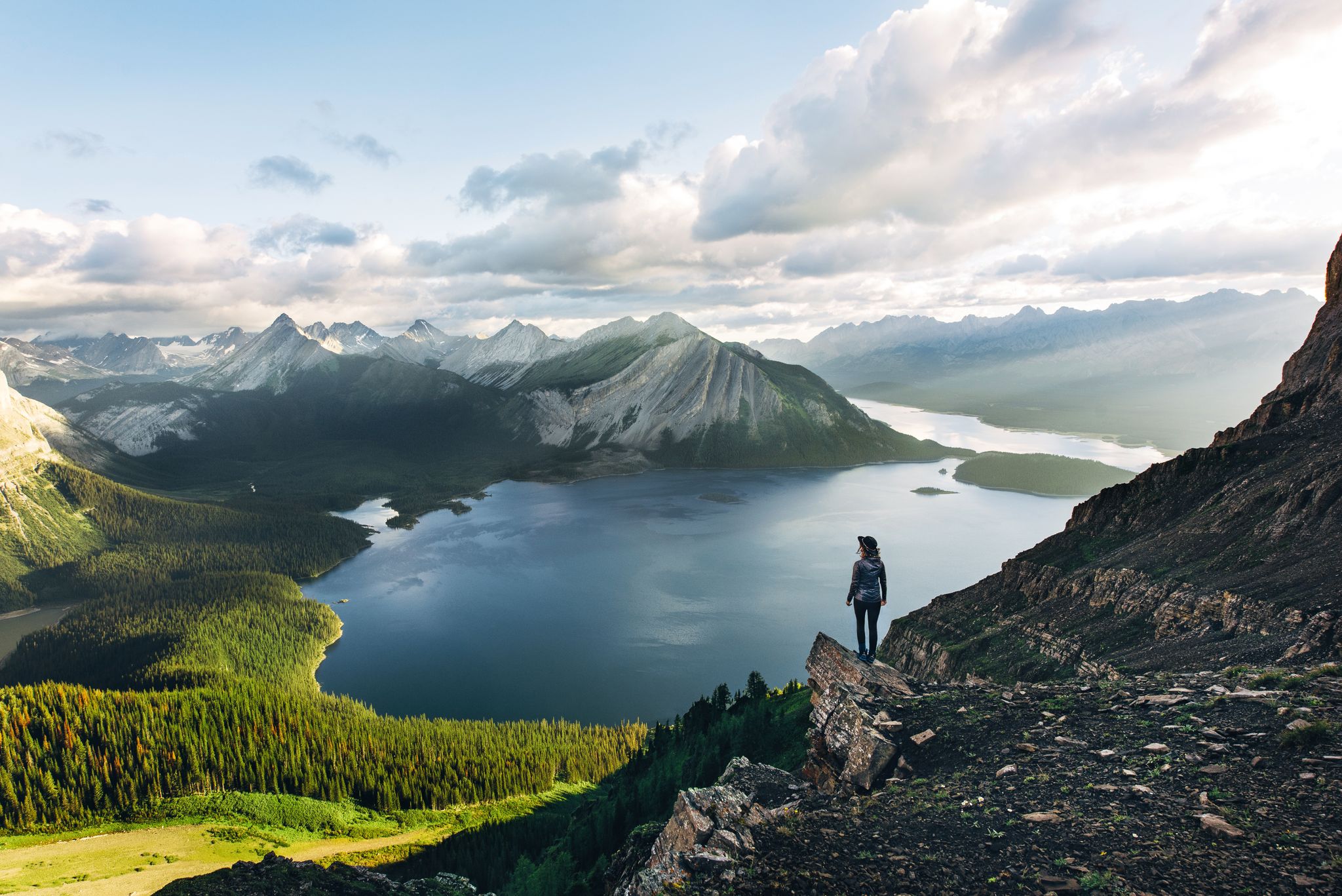
Long-distance hiking in Canada – between mountains and coast
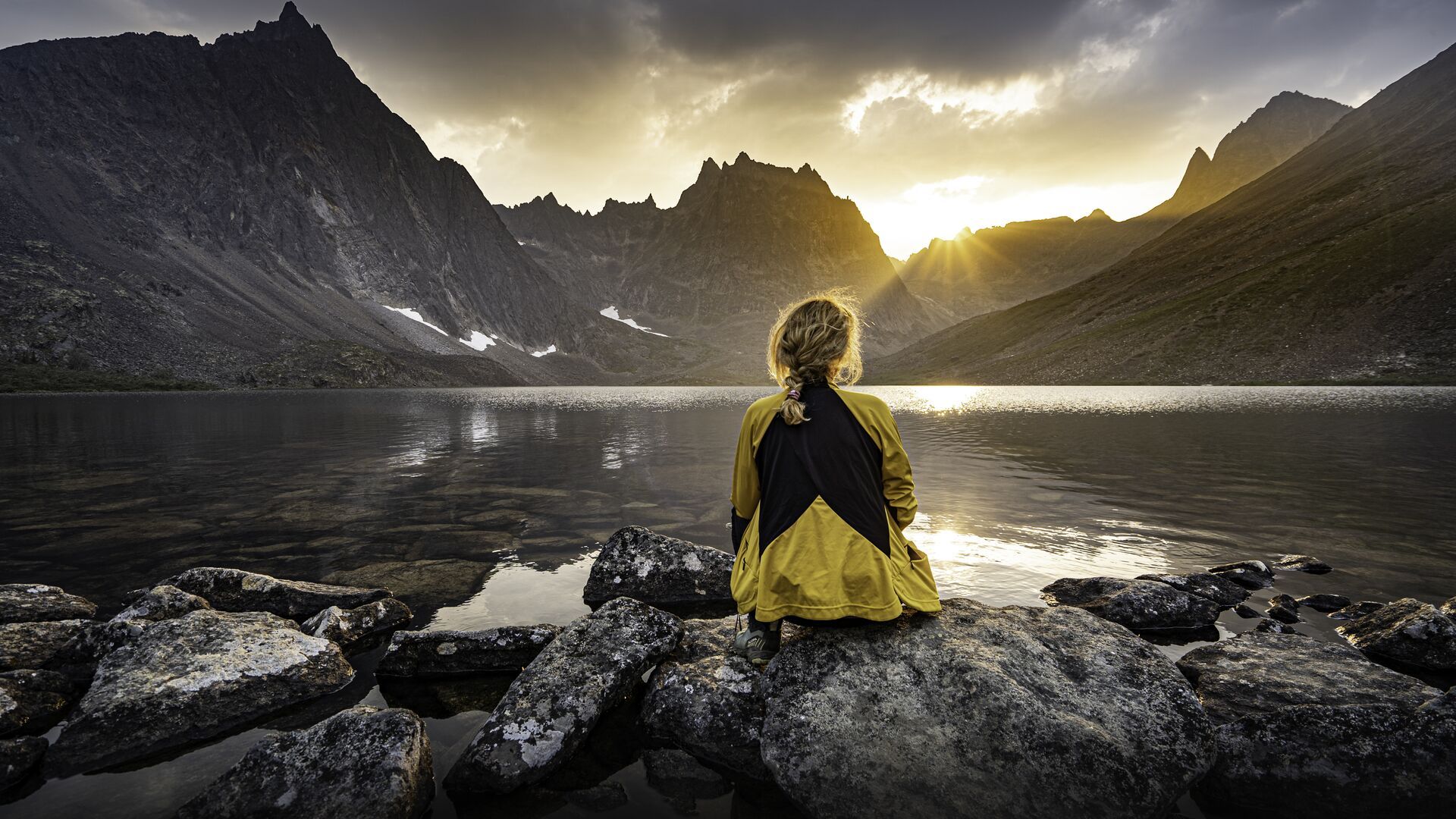
The longest footpath in the world – Trans Canada Trail
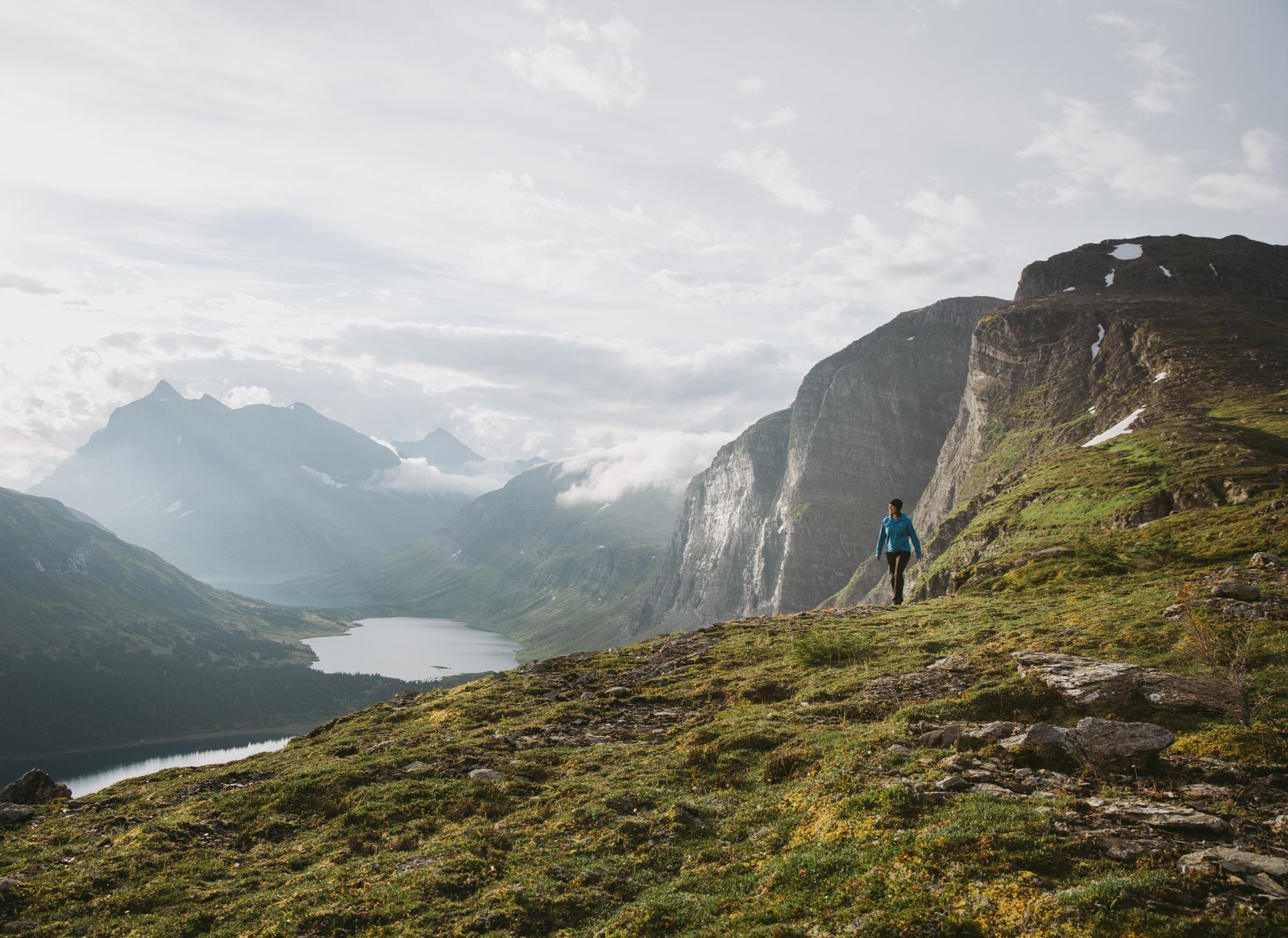
The Great Wilderness – hiking in the vastness of British Columbia
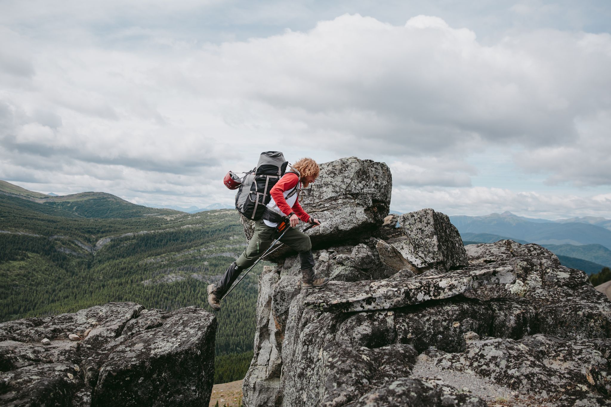
The Great Wilderness – a multi-day route across British Columbia
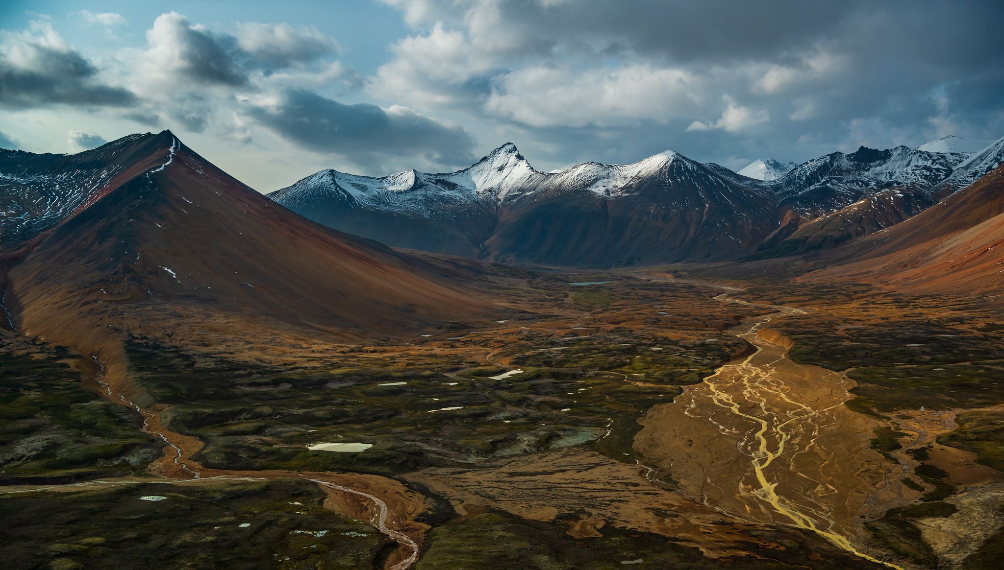
The Great Wilderness – hiking adventures in vast British Columbia
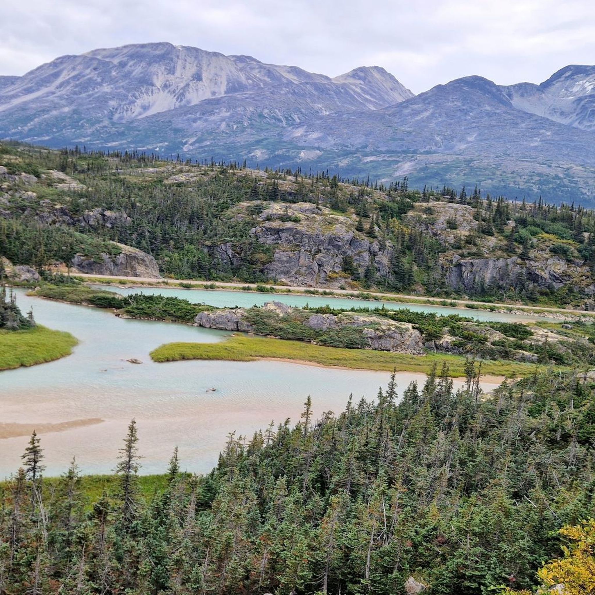
Hiking around Stikine Region
Other adventures around Stikine Region


Tips from the Community

The small town of Bennett was built during the gold rush at the end of the 19th century. It served as a stopover for gold seekers on their journey along the Yukon to the gold fields around Dawson. Today the town is abandoned, but the station is still in use during the summer months. Bennett is the northern starting point for the 53-kilometre Chilkoot Trail, which stretches all the way to Dyea in Alaska. There is no road connection to Bennett, so you can only get here by train or charter flight. You can find some providers here: https://parks.canada.ca/lhn-nhs/yt/chilkoot/activ/randonnee-cdn-hiking. Since there is no cell phone reception in Bennett or along the entire Chilkoot Trail, bring an appropriate device such as an inReach or satellite phone.
2
0

The 'Bryant Lake Trail' begins at Fraser Station west of 'Bernard Lake' in close proximity to the Canadian border crossing into Alaska. The 8.5 km long tour with return is a popular hiking trail. If the path is still covered with snow in spring, you should have snowshoes with you.
3
0
The Beaver Lodge Trail leads to a beaver dam that has dammed up part of Boya Lake by more than a meter. It's remarkable how the small animals can have such an impact on their environment. The choice of location and construction technique are phenomenal.
2
0
The Beaver Lodge Trail leads along the lake shore to the southern tip and later slightly uphill through a dense, young deciduous forest and then down again to a part of the lake separated by a beaver dam.
2
0
Tā Ch'ilā Provincial Park (Boya Lake Park) is located on Stewart-Cassiar Highway 37 at kilometer 638. There is an excellent campground right on Boya Lake that invites you to linger. The park is located in the Liard Plain, an area that was formed by glaciers 20,000 years ago. https://bcparks.ca/ta-chila-park-aka-boya-lake-park/
2
0
Frequently Asked Questions
What are some of the most popular natural attractions in the Stikine Region?
The Stikine Region is renowned for its dramatic natural landscapes. Highlights include the spectacular Grand Canyon of the Stikine, with walls up to 300 meters high, and the expansive Stikine River itself, a major wild river. Visitors also enjoy Boya Lake, known for its excellent campground, and the unique Beaver Dam on Beaver Lodge Trail, showcasing how small animals can significantly impact their environment.
Are there family-friendly activities or trails in the Stikine Region?
Yes, several attractions are suitable for families. Boya Lake offers a great camping experience and is considered family-friendly. The Beaver Lodge Trail, which leads to the Beaver Dam, is also a family-friendly trail winding along the lake shore and through a dense forest.
What historical and cultural sites can I explore in the Stikine Region?
The region is rich in Indigenous history and gold rush heritage. You can visit the Stikine Museum in Iskut/Big Raven to learn about local history and Indigenous cultures. The Kitselas Canyon National Historic Site offers walking tours and traditional longhouse reconstructions. Additionally, Gitwangak's Battle Hill commemorates a fortified village, and the historic community of Bennett served as a significant stopover during the gold rush.
What kind of outdoor activities are available near the attractions in Stikine Region?
The Stikine Region offers a wide range of outdoor activities. Hiking is very popular, with trails like the Beaver Lodge Trail and the Bryant Lake Trail. For more challenging hikes, consider routes like the Chuck Creek Trail to Samuel Glacier in Tatshenshini-Alsek Provincial Park. The region is also excellent for kayaking, rafting, mountaineering, mountain biking, fishing, and wildlife viewing. You can find more hiking options in the Hiking around Stikine Region guide.
Where can I experience true wilderness in the Stikine Region?
For an authentic wilderness experience, consider visiting Spatsizi Plateau Wilderness Provincial Park, one of Canada's largest wilderness parks. Tatshenshini-Alsek Provincial Park, a UNESCO World Heritage Site, also offers vast, glacier-covered peaks and wild rivers, perfect for those seeking remote adventures.
What are some unique geological features to see in the Stikine Region?
Beyond the Grand Canyon of the Stikine, you can visit Tsadu, known as the 'Number 1 Most Photographed Rock Formation in the Tahltan Highlands,' a distinctive basaltic formation where the Tahltan River flows. The region's landscape was also shaped by glaciers, evident in areas like the Liard Plain where Boya Lake is located.
Can I go camping in the Stikine Region?
Yes, camping is a popular activity. Kinaskan Lake Provincial Park and Kleanza Creek Provincial Park offer remote camping experiences. Boya Lake within Tā Ch'ilā Provincial Park also has an excellent campground directly on the lake, inviting visitors to linger.
What is the Chilkoot Trail and how can I access it?
The Chilkoot Trail National Historic Site is an ancient trade route used by the Tlingit tribe and later by Klondike gold rush miners. The small town of Bennett serves as the northern starting point for this challenging 53-kilometer trail. There is no road connection to Bennett; access is typically by train or charter flight. For more information on providers, you can check the Parks Canada website.
What kind of wildlife can I expect to see in the Stikine Region?
The Stikine Region offers exceptional wildlife viewing opportunities. You might spot grizzly bears, the rare Kermode bear, mountain goats, stone sheep, caribou, and moose. The area is also home to a diverse array of bird species, making it a great destination for nature enthusiasts.
Are there any self-guided tours to learn about the region's history?
Yes, in the Upper Skeena region, you can take the 'Hands of History' self-guided driving tour. This tour features distinctive markers with Gitxsan designs and provides historical descriptions of significant people, events, or landforms in the area.
What are some of the main communities or starting points for exploring the Stikine Region?
Key communities that serve as starting points or points of interest include Dease Lake, located on Highway 37, and Telegraph Creek, a small community with a gold rush era history at the head of navigation on the Stikine River. Atlin is also the largest community in the region.
What is the best time to visit the Stikine Region for outdoor activities?
While specific seasonal data isn't provided, the mention of snow on trails in spring for the Bryant Lake Trail suggests that late spring through early autumn (roughly June to September) would be ideal for most hiking, kayaking, and camping activities, offering more accessible trails and favorable weather conditions.
Most popular routes around Stikine Region
Most popular attractions around Stikine Region

Get inspired with the komoot mobile app


Explore more
Still not found the Highlight you’re looking for? See guides of the top attractions in other regions:
