The best cycling routes around Area B (Lake Koocanusa)
4.5
(2)
300
riders
17
rides
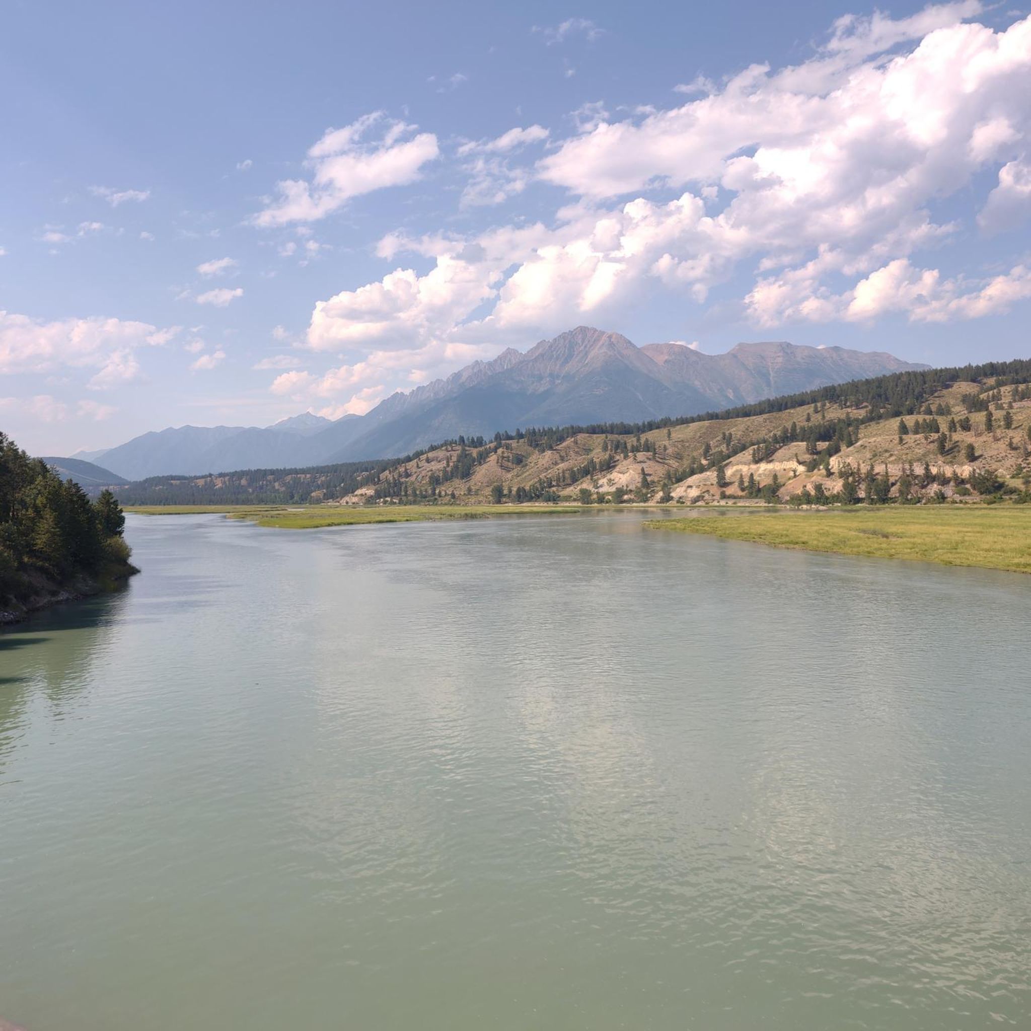
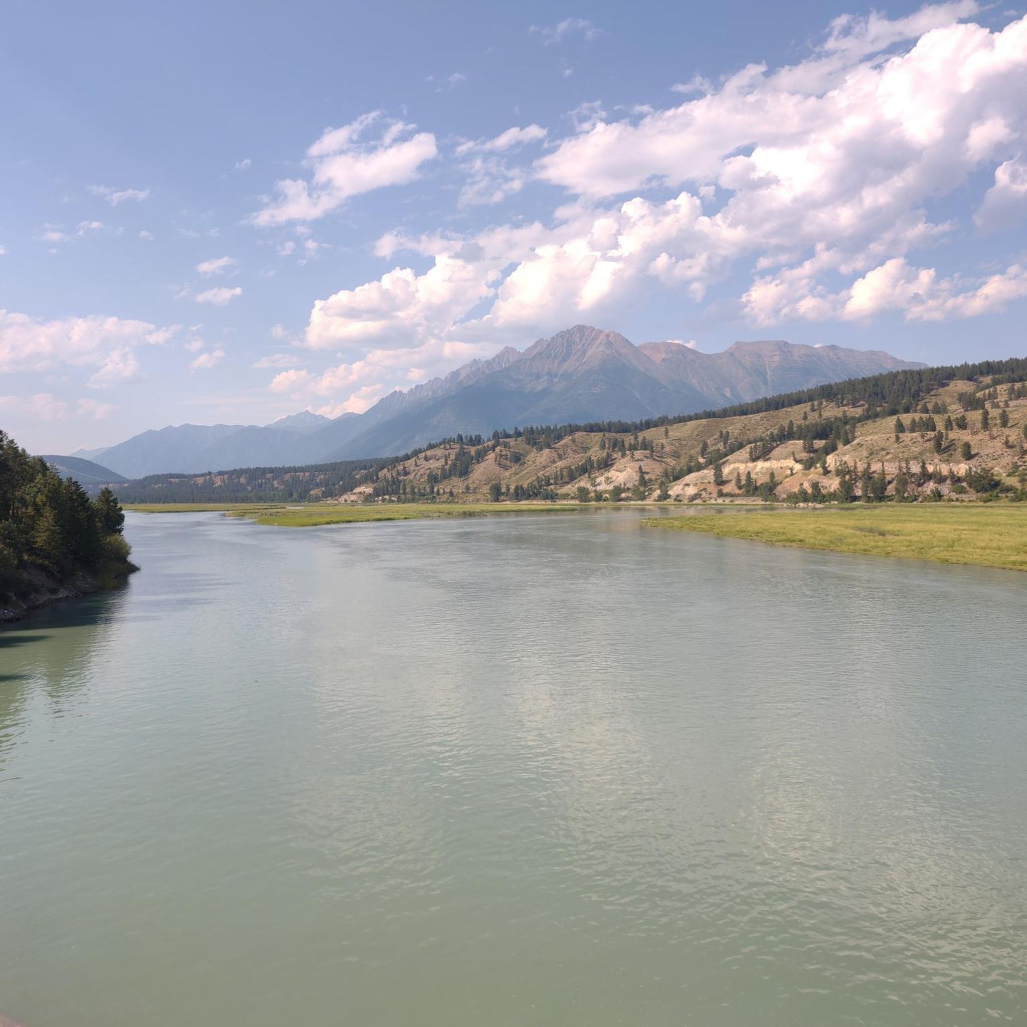
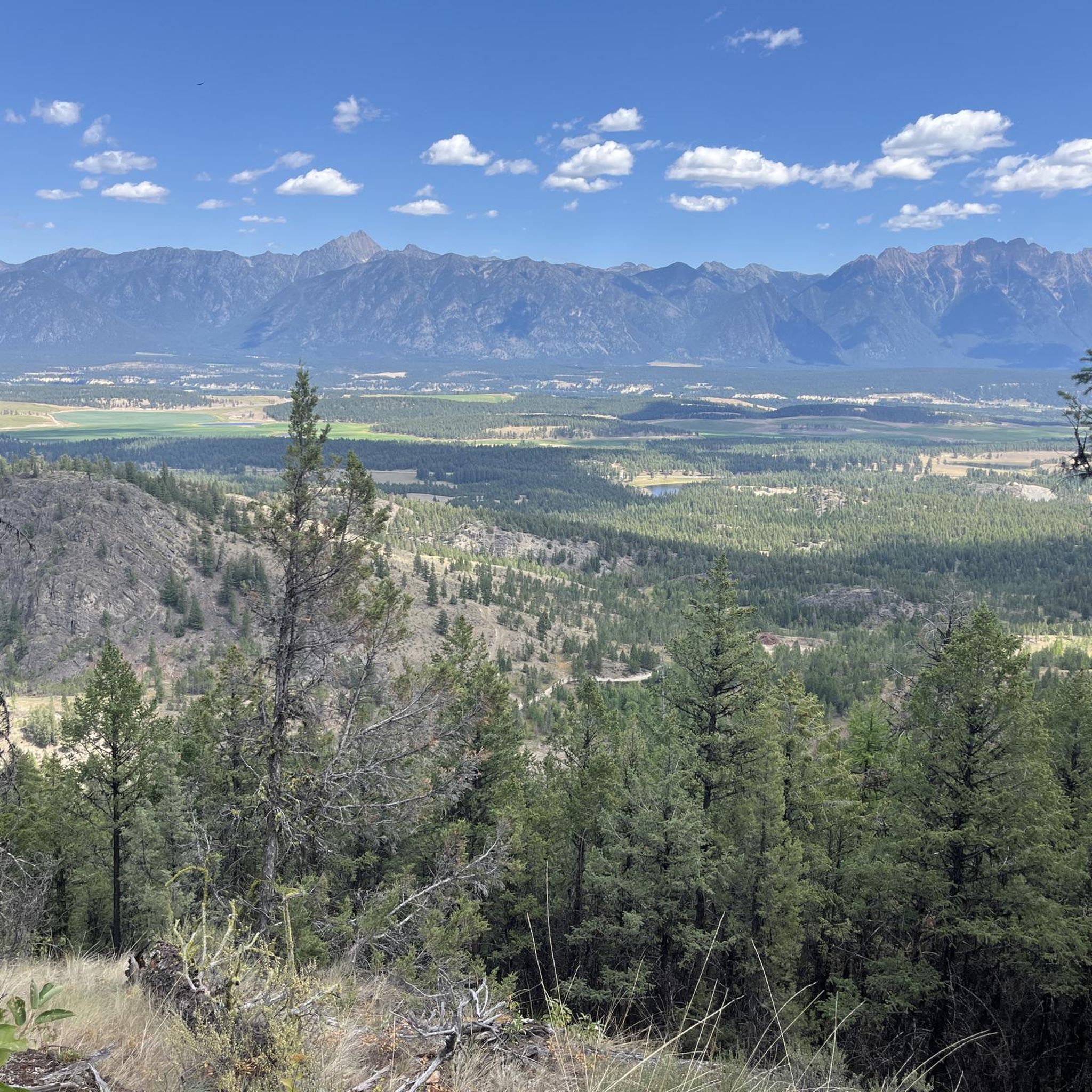
Touring cycling routes around Area B (Lake Koocanusa) traverse a landscape shaped by the Kootenai River, featuring a fjord-like gorge between the Purcell and Salish Mountains. The region offers views of clear lake waters and is surrounded by the Kootenai National Forest, which provides extensive forests, hills, and meadows. Cyclists can expect varied terrain, including both paved and unpaved sections, with routes ranging from gentle gradients to challenging climbs.
Best touring cycling routes around Area B (Lake Koocanusa)
- The most popular touring cycling route is Mount Fernie Provincial Park loop from Mountain Pantry Grocery & Liquor, a 17.0 miles (27.4 km) trail that takes 2 hours 34 minutes to complete. This difficult route offers a substantial loop through the provincial park.
- Another top favourite among local touring cyclists is View Along Cokato Road – Climb Out of Fernie loop from Fernie, a moderate 13.9 miles (22.3 km) path. This route includes a climb with expansive views.
- Local touring cyclists also love the Mount Fernie Provincial Park loop from Mount Fernie Provincial Park, a 7.3 miles (11.7 km) trail leading through forested provincial parkland, often completed in about 1 hour 16 minutes.
- Touring cycling around Area B (Lake Koocanusa) is defined by mountain ranges, extensive forests, and the clear waters of Lake Koocanusa. The network offers options for different ability levels, from easy rides to more demanding routes with significant elevation gain.
- The routes in Area B (Lake Koocanusa) are highly rated by the komoot community with an average score of 4.0 stars from over 1 review. More than 280 touring cyclists have used komoot to explore Area B (Lake Koocanusa)'s varied terrain.
Last updated: August 28, 2026
4.0
(1)
26
riders
33.5km
02:24
330m
330m
Moderate bike ride. Good fitness required. Mostly paved surfaces. Suitable for all skill levels.
5.0
(1)
27
riders
Hard bike ride. Very good fitness required. Mostly paved surfaces. Suitable for all skill levels.

Sign up for free
17
riders
22.5km
02:01
380m
380m
Moderate bike ride. Good fitness required. Mostly paved surfaces. Suitable for all skill levels.
16
riders
11.7km
01:15
350m
350m
Moderate bike ride. Good fitness required. Mostly paved surfaces. Suitable for all skill levels.
13
riders
12.9km
01:21
370m
370m
Moderate bike ride. Good fitness required. Mostly paved surfaces. Suitable for all skill levels.
Get access to more routes and recommendations from other explorers.
Sign up for free
Already have an account?
Our route recommendations are based on thousands of hikes, rides, and runs completed by other people on komoot.
Start today with a free account
Your next adventure awaits.
Login or Signup

Other adventures around Area B (Lake Koocanusa)

Tips from the Community

This trailhead is the main parking area for access to the Fernie Rail Trail and Lizard Creek Trail. There is signage with trail information, a small parking area, a pit toilet, and a picnic table, making it an easy place to begin exploring the Elk Valley.
0
0
This spot is where Fernie Rail Trail ends, and Old Growth Trail begins. There is a pit toilet and a small parking area here, but no water, so plan your trip accordingly. If you’re looking to extend your journey from Fernie Rail Trail, the Old Growth Trail leads deeper into Fernie Nature Park to Island Lake, with towering western red cedars and lush forest, creating a beautiful change of scenery.
0
0

Montane Blue is one of the easier trails within Fernie’s Montane Trail Network, winding through open Douglas fir forest and grassy hillsides on the lower slopes of Castle Mountain. The mostly smooth singletrack makes for a pleasant walking route, while frequent openings in the trees reveal views across the Elk Valley and surrounding peaks. Wildflowers are common along the trail in summer, and the gentle gradients make it a good introduction to the wider Montane network before tackling the steeper trails higher up.
0
0

Coal Creek flows down from the mountains outside of Fernie before emptying into the Elk River. There's a ghost-town of the same name along its stretch that was abandoned after the local mine closed in the 1950s.
0
0

Frequently Asked Questions
How many touring cycling routes are available in Area B (Lake Koocanusa)?
There are 19 touring cycling routes available in Area B (Lake Koocanusa). These routes offer a variety of experiences, with 1 easy, 9 moderate, and 9 difficult options to choose from.
What kind of terrain can I expect on touring cycling routes around Lake Koocanusa?
The terrain around Lake Koocanusa is diverse, shaped by the Kootenai River and the fjord-like gorge between the Purcell and Salish Mountains. You'll encounter extensive forests, hills, and meadows. Routes can include both paved and unpaved sections, with gradients ranging from gentle to challenging climbs. For instance, the View Along Cokato Road – Climb Out of Fernie loop from Fernie features a significant climb with expansive views.
Are there any easy touring cycling routes suitable for beginners or families in Area B (Lake Koocanusa)?
Yes, there is one easy touring cycling route in Area B (Lake Koocanusa). The Coal Creek – Maiden Lake loop from Fernie is a 7.2-mile (11.6 km) path with minimal elevation gain, making it a good option for those seeking a less strenuous ride.
What are some challenging touring cycling routes for experienced riders in Area B (Lake Koocanusa)?
For experienced riders seeking a challenge, there are 9 difficult routes in the area. A notable option is the Mount Fernie Provincial Park loop from Mountain Pantry Grocery & Liquor, which spans 17.0 miles (27.4 km) and involves a substantial elevation gain of over 1,950 feet (595 meters).
Are there circular touring cycling routes around Lake Koocanusa?
Yes, many routes in the area are loops, allowing you to start and end at the same point. Beyond the specific komoot tours, a popular and challenging experience is the 80-mile (or 100-mile) loop that circumnavigates Lake Koocanusa, often referred to as "Le Tour de Koocanusa." This route offers breathtaking scenery and minimal traffic, particularly on the west shore with its
What natural features and landmarks can I see while cycling around Lake Koocanusa?
While cycling, you'll be treated to dramatic landscapes, including views of the Purcell and Salish Mountains, and the clear waters of Lake Koocanusa. The surrounding Kootenai National Forest provides a verdant backdrop. Keep an eye out for wildlife such as bighorn sheep, deer, elk, and various bird species. Nearby attractions include Surveyors Lake and the town of Fernie, BC. The Lake Koocanusa Scenic Byway itself is a major attraction, offering continuous scenic views.
When is the best time of year to go touring cycling in Area B (Lake Koocanusa)?
The Lake Koocanusa area offers year-round cycling opportunities, especially on paved routes like the Scenic Byway. However, the fall is particularly striking, with the changing colors of the Western Larch trees enhancing the natural beauty. Warmer months are ideal for enjoying the lake and surrounding activities, but always be prepared for varied weather conditions in mountainous regions.
What do other touring cyclists say about the routes in Area B (Lake Koocanusa)?
The touring cycling routes in Area B (Lake Koocanusa) are highly rated by the komoot community, with an average score of 4.0 stars. Over 280 touring cyclists have used komoot to explore the varied terrain, often praising the stunning natural beauty, diverse landscapes, and the sense of remote tranquility offered by the Kootenai National Forest.
Is there parking available near the touring cycling routes in Area B (Lake Koocanusa)?
Yes, parking is generally available. Many routes, especially those starting from towns like Fernie or near provincial parks, will have designated parking areas. For routes along the Lake Koocanusa Scenic Byway, there are various pull-offs and access points, including near the Libby Dam, where you can typically find parking.
Are there any routes that pass through provincial parks?
Yes, several routes traverse provincial parkland. For example, the Mount Fernie Provincial Park loop from Mount Fernie Provincial Park is a 7.3-mile (11.7 km) route that leads directly through forested provincial parkland, offering a scenic and immersive experience.
What is the typical duration for touring cycling routes in this area?
The duration of touring cycling routes in Area B (Lake Koocanusa) varies significantly based on distance and difficulty. For instance, the Coal Creek loop from Fernie, a moderate 8.0-mile (12.9 km) route, typically takes around 1 hour 21 minutes. More challenging routes, like the 17.0-mile (27.4 km) Mount Fernie Provincial Park loop from Mountain Pantry Grocery & Liquor, can take over 2 hours 30 minutes.
Most popular routes around Area B (Lake Koocanusa)
Most popular attractions around Area B (Lake Koocanusa)

Get inspired with the komoot mobile app


Explore more
Browse the best Cycling routes in other regions.
