The best walks and hikes around Seljordvatnet
4.6
(108)
365
hikers
11
hikes
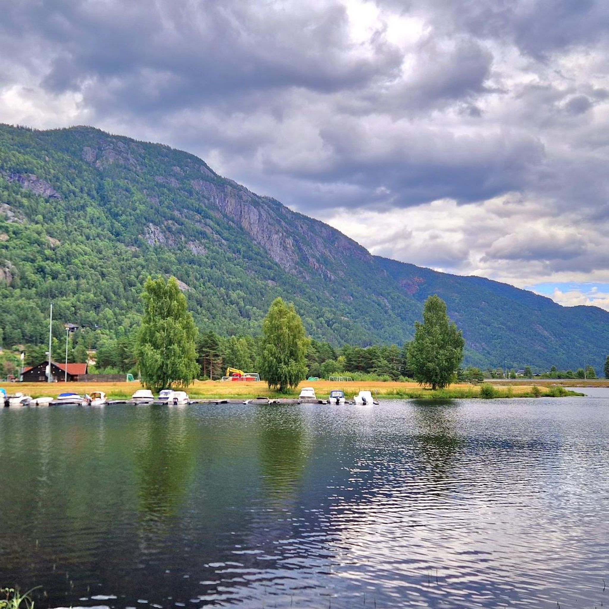
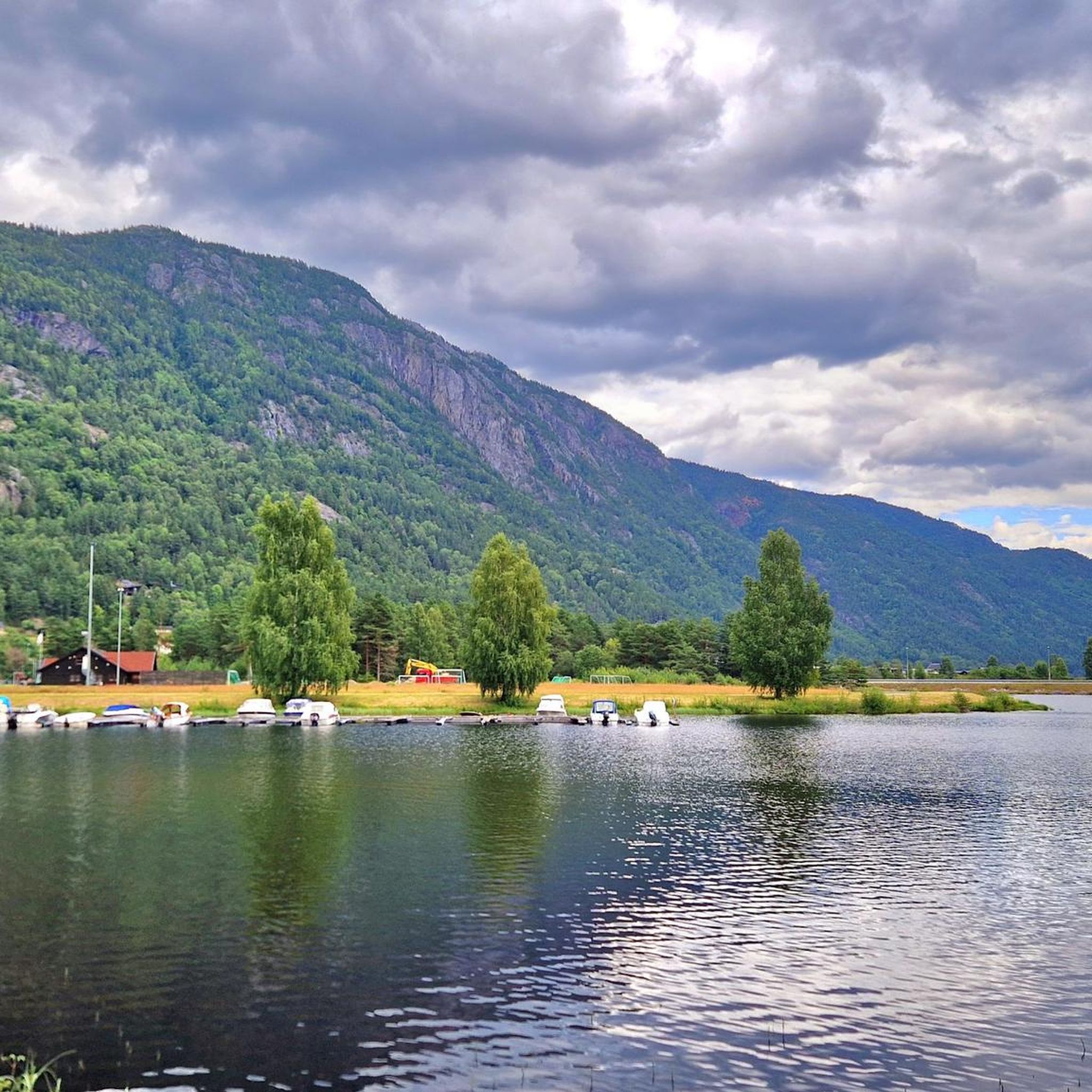
Hiking around Seljordvatnet offers diverse landscapes, featuring high mountains, lush forests, and rolling hills. The region is characterized by the central Lake Seljordvatnet, with trails winding along its shores and through surrounding woodlands. Hikers can find paths leading up to mountains like Skorve and Bjønnefjell, providing varied terrain and elevation. The area includes both accessible routes and more challenging mountain treks.
Best hiking trails around Seljordvatnet
- The most popular hiking route is View from Valskarsnuten – View of Seljordvatnet loop…
Last updated: June 28, 2026
4.6
(45)
126
hikers
4.31km
01:29
220m
230m
Easy hike. Great for any fitness level. Easily-accessible paths. Suitable for all skill levels.
4.2
(10)
39
hikers
Easy hike. Great for any fitness level. Easily-accessible paths. Suitable for all skill levels.

Sign up for free
4.0
(8)
35
hikers
6.84km
01:46
30m
30m
Easy hike. Great for any fitness level. Easily-accessible paths. Suitable for all skill levels.
4.3
(3)
11
hikers
Easy hike. Great for any fitness level. Easily-accessible paths. Suitable for all skill levels.
1
hikers
Easy hike. Great for any fitness level. Easily-accessible paths. Suitable for all skill levels.
Get access to more routes and recommendations from other explorers.
Sign up for free
Already have an account?
Our route recommendations are based on thousands of hikes, rides, and runs completed by other people on komoot.
Start today with a free account
Your next adventure awaits.
Login or Signup
Popular around Seljordvatnet
Tips from the Community

Very steep if you go in the opposite direction. 19% gradient. Good surefootedness for paths with narrow gradients. Sturdy shoes are recommended. Shorten the loop. Paths leading down into the valley can be used.
0
0

The reception is now staffed (at least in August). Several young employees were on site.
0
0

Frequently Asked Questions
What kind of terrain can I expect when hiking around Seljordvatnet?
The Seljordvatnet region offers diverse terrain, from lush forests and rolling hills to high mountains. You'll find paths winding along the lake's shores, through woodlands, and up to peaks like Skorve, Bjønnefjell, and Bjørge. The area provides varied landscapes and elevations, suitable for different hiking preferences.
Are there easy or family-friendly hiking options around Seljordvatnet?
Yes, Seljordvatnet has several easy and family-friendly trails. For instance, the Wooden Boardwalk With Benches – Seljord Church loop from Seljord is an easy 3.9-mile path featuring accessible sections and boardwalks with benches, offering views of the lake. The Hanakamjuvet area is also known for its easy round trips suitable for families, featuring waterfalls and viewpoints.
Are there challenging hiking trails in the Seljordvatnet area?
For those seeking a challenge, the region offers more demanding mountain treks. Mountains like Skorve, with its two peaks Mount Gøysen and Mount Nordnibba, provide a significant challenge. Lifjell is another area known for its magnificent views and challenging hikes, such as the one to Jørunnatten, one of its highest peaks.
What unique attractions or landmarks can I discover while hiking near Seljordvatnet?
Seljordvatnet is famous for its legendary sea serpent, 'Selma.' You can visit the Sea Serpent Tower (Sjøormtårnet), a 17-meter-tall structure by the lake, offering views and serving as a lookout for the mythical creature. The footpath to the tower is accessible, built on stilts with benches. Additionally, you might encounter 'Looking Cupboards' and 'Vieing Stones,' which are stone sculptures along paths linked to local women's stories. The Seljord Watchtower (Utkikkstårnet) also offers great views.
Are there any circular hiking routes around Seljordvatnet?
Yes, many trails in the area are designed as loops. An example is the View from Valskarsnuten – View of Seljordvatnet loop from Seljord kyrkje, an easy 2.7-mile trail offering scenic lake views. Another popular option is the Seljord Church – Seljord Hotel loop from Seljord kyrkje, which is 4.2 miles long and leads through cultural areas of Seljord.
What do other hikers enjoy most about hiking in Seljordvatnet?
The trails around Seljordvatnet are highly rated by the komoot community, with an average score of 4.6 stars from over 100 reviews. Hikers often praise the diverse landscapes, from serene lake views to challenging mountain ascents, and the well-marked paths that cater to various skill levels. The unique cultural elements and the legend of the sea serpent also add to the experience.
Can I bring my dog on the hiking trails in Seljordvatnet?
Generally, dogs are welcome on hiking trails in Norway, but it's important to keep them on a leash, especially during nesting seasons for birds and when livestock are present. Always check local regulations for specific trails or protected areas, as rules can vary. Ensure your dog is well-behaved and that you clean up after them.
Are there any trails that feature waterfalls?
Yes, the Hanakamjuvet area in Kivledalen is known for its natural beauty, including waterfalls. This popular recreational spot offers an easy round trip suitable for families, allowing you to enjoy the cascades along with historical sites and gorges.
Is there parking available at the trailheads around Seljordvatnet?
While specific parking details for every trailhead are not provided, Seljord is generally well-equipped for visitors. Many popular hiking areas and attractions, especially those starting near the town center or major points of interest, typically offer designated parking facilities. It's advisable to check local signage upon arrival.
When is the best time of year to go hiking around Seljordvatnet?
The best time for hiking around Seljordvatnet is typically during the warmer months, from late spring to early autumn (May to September). During this period, the trails are usually free of snow, the weather is milder, and the natural scenery is at its most vibrant. Some trails may also be accessible for winter hiking, but this requires appropriate gear and experience.
Are there any less crowded hiking trails or hidden gems in the area?
While popular routes offer stunning views, exploring trails slightly off the main paths can lead to quieter experiences. The region boasts over 90 km of marked trails, so there are many options beyond the most frequented ones. Consider exploring paths leading to less-known viewpoints on mountains like Bjørge, which offers various paths through cultural landscapes with idyllic spots and panoramic views of Lake Seljordvatnet.
Are there any trails that offer views of the lake?
Many trails around Seljordvatnet offer stunning views of the lake. For example, the Fjord View Picnic Area – Wooden Boardwalk With Benches loop from Seljord kyrkje provides excellent lake vistas. The Forest Path with Boulder View – Fjord View Picnic Area loop from Seljord kyrkje also features scenic viewpoints overlooking the water.
Most popular attractions around Seljordvatnet

Get inspired with the komoot mobile app


Explore more
Browse the best Hikes in other regions.
