The best walks and hikes around Salt Spring Island Electoral Area
4.8
(91)
935
hikers
26
hikes
Hiking around Salt Spring Island Electoral Area, the largest of British Columbia's Southern Gulf Islands, offers diverse landscapes for outdoor exploration. The region is characterized by its hilly terrain, featuring several prominent peaks such as Mount Maxwell and Mount Erskine, which provide extensive views. Coastal trails wind through arbutus trees and along the Salish Sea, while inland paths traverse dense forests of Douglas fir and mossy woodlands.
Best hiking trails around Salt Spring Island Electoral Area
- The most popular hiking…
Last updated: October 18, 2026
5.0
(3)
11
hikers
5.50km
02:00
270m
270m
Moderate hike. Great for any fitness level. Mostly accessible paths. Sure-footedness required.
1
hikers
7.89km
02:18
220m
220m
Moderate hike. Good fitness required. Easily-accessible paths. Suitable for all skill levels.

1.92km
00:33
40m
40m
Easy hike. Great for any fitness level. Easily-accessible paths. Suitable for all skill levels.
4.4
(5)
72
hikers
5.18km
01:46
240m
240m
Moderate hike. Great for any fitness level. Mostly accessible paths. Sure-footedness required.
5.0
(3)
37
hikers
6.23km
02:43
540m
540m
Moderate hike. Good fitness required. Mostly accessible paths. Sure-footedness required.
Get access to more routes and recommendations from other explorers.
Already have an account?
Our route recommendations are based on thousands of hikes, rides, and runs completed by other people on komoot.
Start today with a free account
Your next adventure awaits.
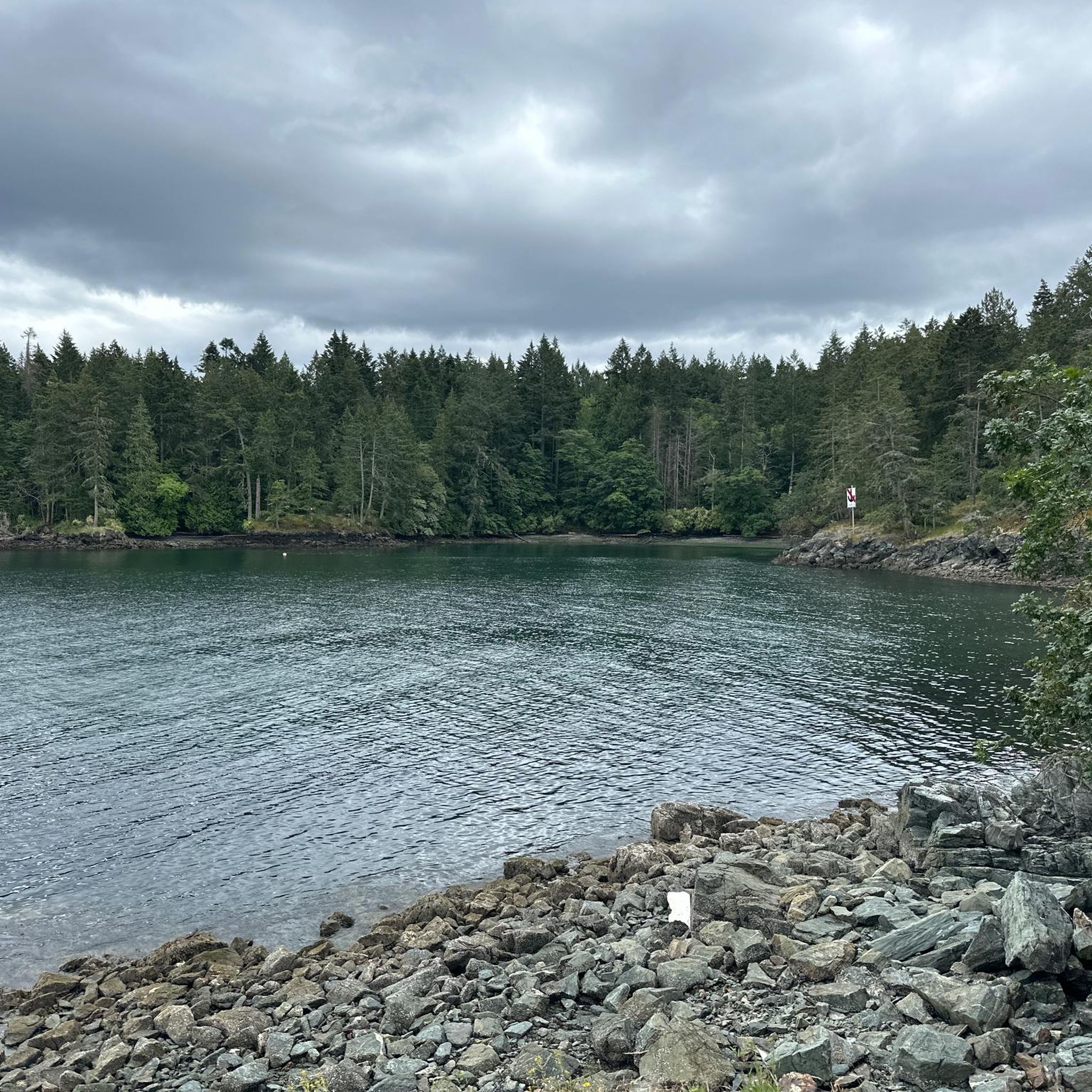
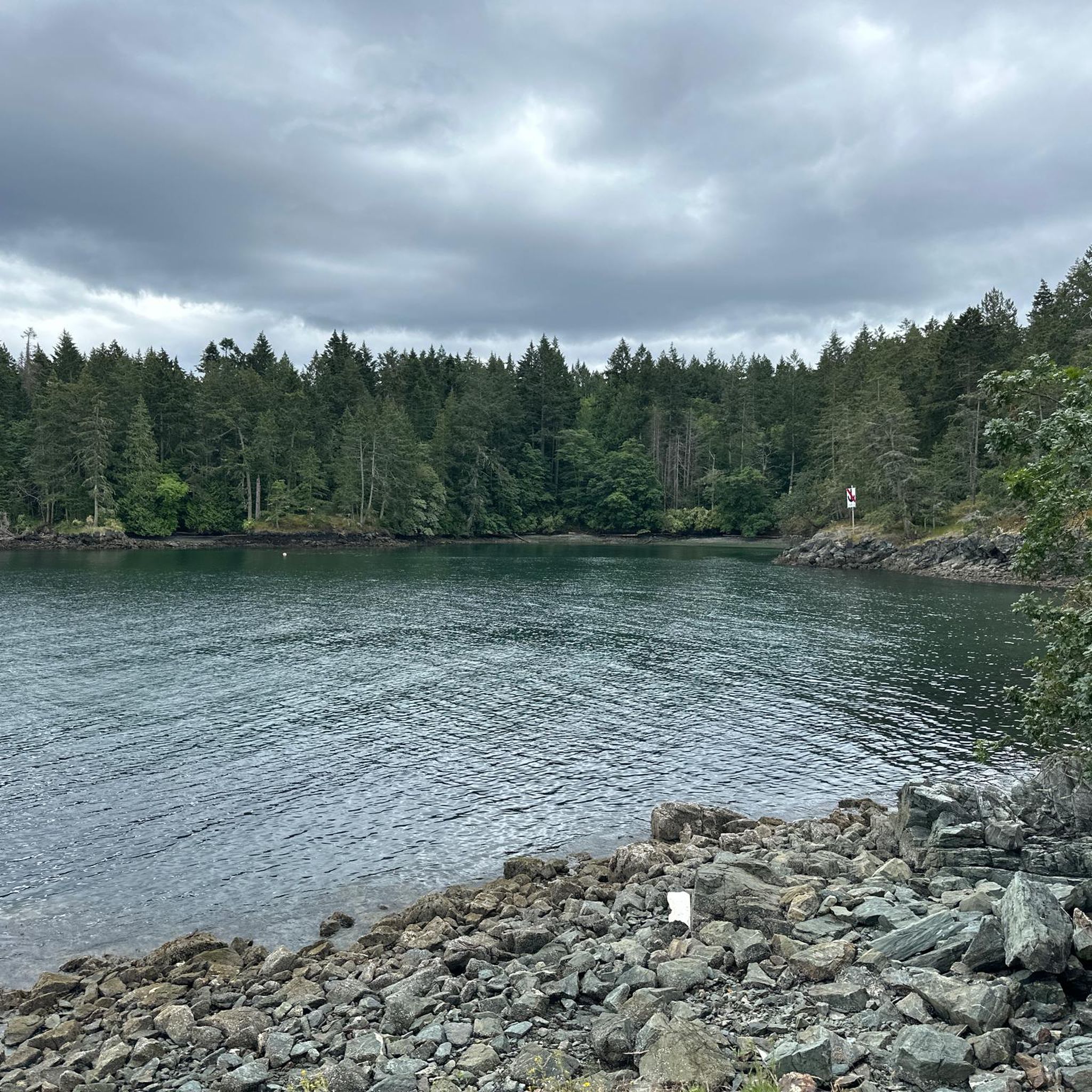
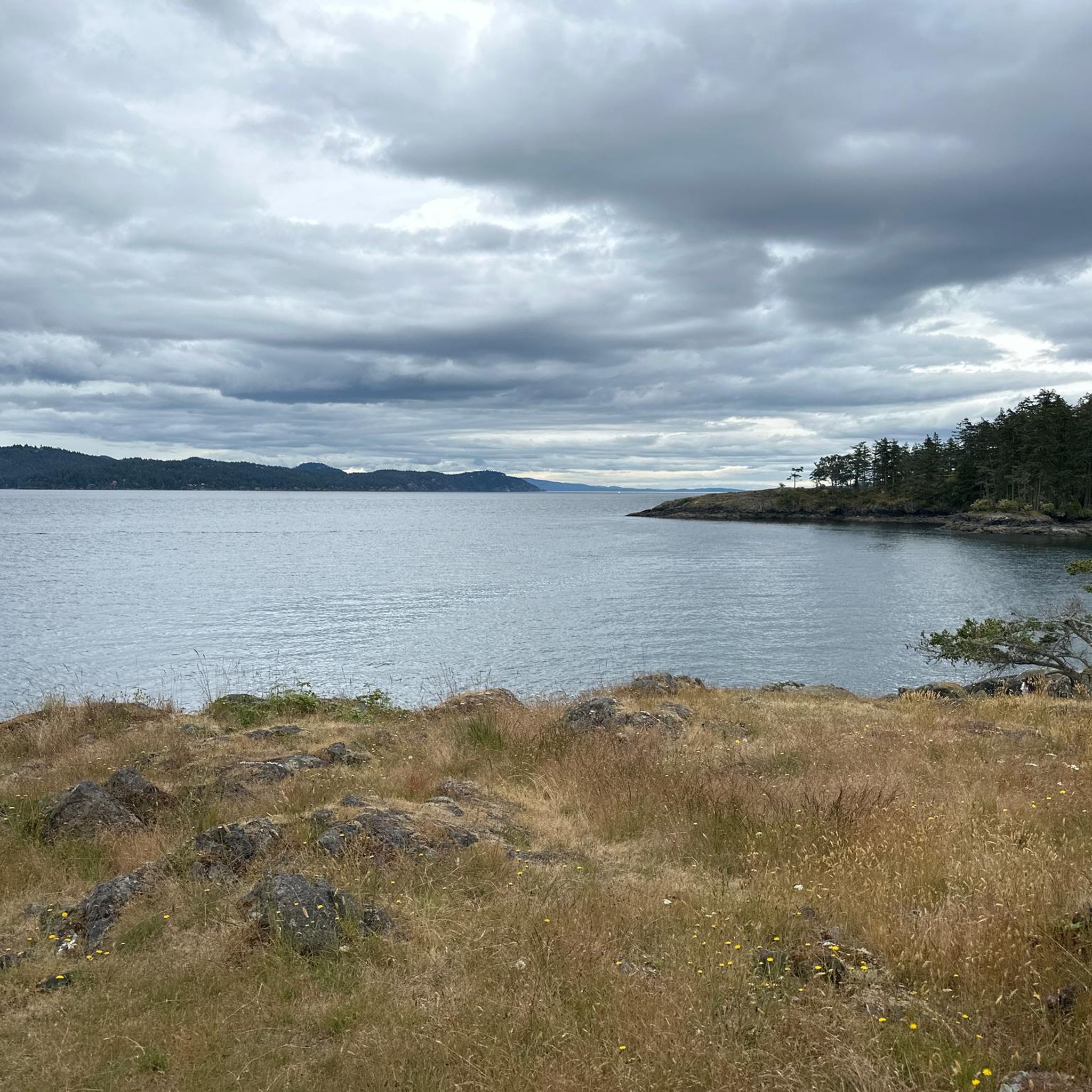
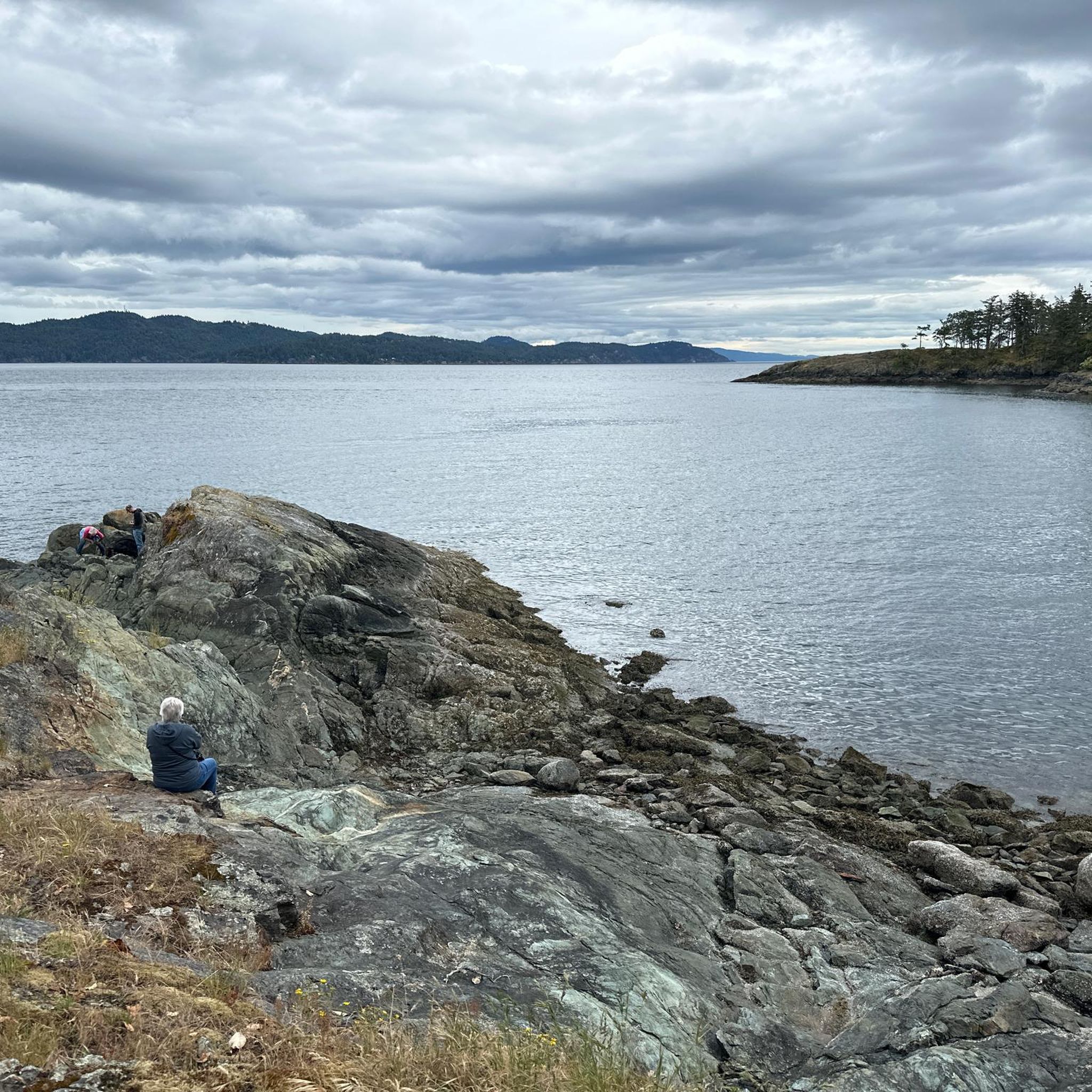
Tips from the Community

Salt Spring Island is the largest and most populous of the Southern Gulf Islands, with forested hills, farmland, lakes, and long stretches of shoreline. It has been part of the traditional territory of the Saanich, Cowichan, and Chemainus First Nations for at least 5,000 years and, in 1859, became the first Gulf Island settled by non-First Nations people. Today, it’s known for its extensive network of trails and parks, along with a thriving arts scene centred around the village of Ganges.
0
0
The north end of the Channel Ridge trail system is reached from several access points on the island, with numbered junction signs throughout the entire 15 kilometres of trails to help with orientation. The rolling paths wind through arbutus groves and pine, opening up at many points to beautiful views over St. Mary Lake to the east and Stuart Channel and Vancouver Island to the west. It's a moderately challenging network overall, with noticeably more climbing than the gentler south end. Since there are many intersections that loop through the area, it's a good idea to have your downloaded komoot GPS route along with CRD's trail map (https://www.crd.ca/media/file/channel-ridge-web-map) to keep you on track.
0
0

Rising 603 metres above Burgoyne Bay, Baynes Peak, also known as Mount Maxwell, delivers some of the most dramatic, sweeping views on Saltspring Island. While you can drive directly to the top, Mount Maxwell Road's rough, potholed gravel makes a high-clearance four-wheel-drive vehicle a necessity; otherwise, you can park further down and take one of several forest trails that lead up to the summit viewpoints.
0
0
This trail traces the edge of Baynes Peak aka Mount Maxwell, high above Burgoyne Bay. Much of the trail is shaded under thick forest canopy, but there are a few breaks in the trees with views over the water. As you approach the summit you'll also come across a series of viewpoints with wider vistas than you were able to get through the trees.
0
0
Channel Ridge South Trail is a lovely, relatively easy stroll through the forest, filled with Douglas firs, cedars, and lush West Coast vegetation. As you walk along this well-kept trail, there are two viewpoints overlooking St. Mary Lake. Though the first might be overgrown, the second spot, with a short spur trail, offers beautiful elevated views across the water. The gentle elevation changes and peaceful surroundings make this a relaxing hike with some of the best inland views on Salt Spring Island.
0
0
This is a great spot to see lovely views of St. Mary Lake, the largest freshwater lake on Salt Spring Island, surrounded by lush forests and fields. If you're lucky enough to visit on a clear day, the forested hills rising beyond the lake are a beautiful backdrop, making this an ideal place for a break before continuing on the trail.
0
0
This trailhead offers easy access to the Channel Ridge trails and includes a small parking area. From here, well-signposted forest trails meander through mixed woodlands, leading to scenic viewpoints that overlook St. Mary Lake and the nearby hills. It’s the perfect starting point for one of the most popular walks on Salt Spring Island.
0
0

Shortest trail (No:1 trail) to the top of Mt Maxwell and especially suitable when it’s hot as it’s mostly under the canopy of the giant trees . Well marked trail . You can also take #4 down and then #5 to rejoin this trail on the way down
0
0
Frequently Asked Questions
How many hiking trails are there in Salt Spring Island Electoral Area?
Salt Spring Island Electoral Area offers a diverse network of over 25 hiking routes. These include a variety of experiences, with 9 easy trails perfect for a relaxed stroll and 17 moderate options for those seeking a bit more challenge.
Are there easy hiking trails suitable for beginners or families?
Yes, Salt Spring Island Electoral Area has several easy trails ideal for beginners and families. For instance, the Deer in Ruckle Provincial Park loop from Ruckle Provincial Park is an easy 4.2-mile (6.7 km) trail that winds through coastal forests and past historic farmlands, offering a gentle immersion in nature.
What kind of views can I expect on hikes in Salt Spring Island Electoral Area?
Hikers can enjoy breathtaking panoramic views from several peaks. Mount Maxwell Provincial Park, home to Baynes Peak, offers spectacular 360-degree vistas of the Gulf Islands, Vancouver Island, and even the distant mainland. Mount Erskine provides expansive views over the Salish Sea. For a shorter, steeper climb with excellent views of the Salish Sea and Fulford Valley, consider Reginald Hill. Coastal trails like those in Ruckle Provincial Park offer scenic views of Swanson Channel.
Are there any circular hiking routes available?
Many of the trails on Salt Spring Island Electoral Area are designed as loops, allowing you to experience diverse scenery without retracing your steps. Popular options include the Hiking loop from Mount Erskine Provincial Park, which offers views over the Salish Sea, and the Hiking loop from Burgoyne Bay Provincial Park, exploring former farmland and coastal areas.
What do other hikers enjoy most about hiking in Salt Spring Island Electoral Area?
The hiking routes in Salt Spring Island Electoral Area are highly rated by the komoot community, with an average score of 4.9 stars from over 40 reviews. Hikers frequently praise the diverse landscapes, from challenging mountain ascents with incredible views to serene coastal walks and lush forest paths. The uncrowded nature of many trails, even during peak seasons, is also a common highlight.
Are there any less crowded hiking trails on Salt Spring Island Electoral Area?
While many trails on Salt Spring Island Electoral Area remain uncrowded, even during peak seasons, exploring lesser-known paths can offer more solitude. The Chris Hatfield Trail, often considered a back entrance to Ruckle Park, winds through lush forests and along the coastline, leading to secluded spots like Yeo Point and King's Cove. Duck Creek Park also provides a quick, quiet immersion in nature.
What are some notable natural features or landmarks to look out for on the trails?
Salt Spring Island Electoral Area is rich in natural beauty. On Mount Erskine, hikers might discover whimsical 'fairy doors' attached to boulders. Burgoyne Bay Provincial Park is known for its massive glacier-dropped boulders and vibrant spring daffodil displays. Ruckle Provincial Park features arbutus trees, small pocket beaches, and the historic Ruckle Farm. The island's unique 'rainshadow climate' also contributes to its distinct natural landscapes.
Is there parking available at the trailheads?
Most provincial parks and popular trailheads on Salt Spring Island Electoral Area, such as Mount Maxwell Provincial Park, Mount Erskine Provincial Park, Ruckle Provincial Park, and Burgoyne Bay Provincial Park, offer designated parking areas for hikers. It's always advisable to arrive early during busy periods to secure a spot.
What is the best season for hiking in Salt Spring Island Electoral Area?
Due to its mild 'rainshadow climate,' Salt Spring Island Electoral Area offers excellent hiking opportunities year-round. Spring brings vibrant wildflowers, while summer provides warm, sunny conditions. Fall showcases beautiful foliage, and even winter offers pleasant hiking, though some higher elevation trails might have cooler temperatures. Always check local weather conditions before heading out.
Are there any hikes that lead to coastal access or beaches?
Absolutely. Ruckle Provincial Park features an extensive trail network that follows the coastline, passing by small pocket beaches perfect for picnics. The Chris Hatfield Trail also hugs the coastline, leading to Yeo Point and King's Cove. For broader coastal access, the Jack Foster Trail leads to Salt Spring's broadest beach, offering tide pools and views across Trincomali Channel.
Are there any trails that offer views of St. Mary Lake or Stuart Channel?
Yes, the Channel Ridge Trails provide extensive views over St. Mary Lake and Stuart Channel. This trail system covers diverse terrain and habitats, offering various perspectives of these significant island waterways. Some sections are multi-use, while others are exclusively for hikers.
Most popular routes around Salt Spring Island Electoral Area
Most popular attractions around Salt Spring Island Electoral Area

Get inspired with the komoot mobile app


Explore more
Browse the best Hikes in other regions.
